NFS – USDA – U.S. Forest Service
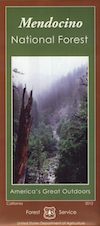
Mendocino National Forest Map
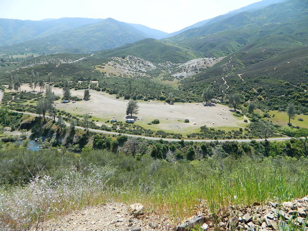
Fouts Springs OHV Camping Area
- 4×4 camping
- ATV trails
- backpacking
- campgrounds
- dirt bike routes
- glades (mountain meadows)
- horse trails
- mountain biking trails
- mountaineering
- OHV camping
- snow skiing xc
- snowboarding
Mendocino NF Map
Stonyford, Stony Gorge Reservoir, Fouts Springs, Snow Mountain Wilderness, Yolla Bolly, Eel River, Upper Lake, Clear Lake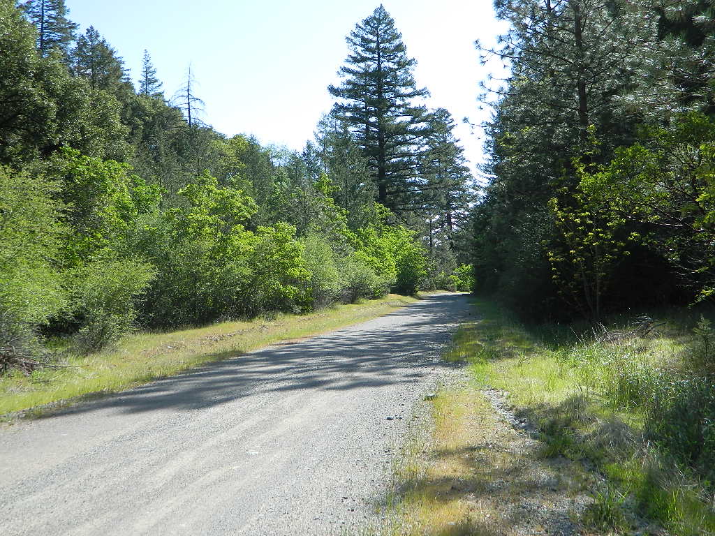
Waterproof Map Mendocino; USDA tear resistant. Ranger Map – NFS map. Quality USDA maps created for the National Forest Service. GPS: Longitude & Latitude; Rivers, Creeks, Peaks, Elevations, 4WD & every dirt back road, Hot Springs, Equestrian Areas, all Campgrounds, Hiking Trails & BackPacking Trailheads.
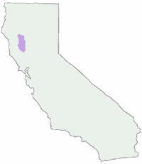
Areas include: North Mendocino, Wine Country, Glenn County, Scott Dam, Gravelly Valley, Elk Creek, Government Flat, Fouts Springs, Bartlett Springs, Elk Mountain Rd., Willows, Paskenta, Corning, Covelo, Stonyford, Stoney Gorge Reservoir, Snow Mountain Wilderness, Yolla Bolly – Middle Eel Wilderness, Eel River, Lake Pillsbury, Fuller Grove, Alder Springs, Cold Springs, Upper Lake, North Clear Lake, Colusa, Dixie Glade. Eastern region of the Coastal Mountain Range in northwestern California, just a three-hour drive north of San Francisco. 65 miles long / 35 miles across / 913,306 forest acres; Only one of California’s National Forests NOT crossed by paved road or highway.
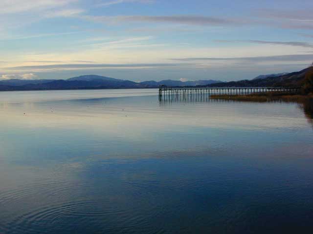
Clear Lake @ Lucerne, CA
Camping areas, developed campgrounds and hiking trailheads to the wilderness. Hiking trails, roads, waterways, campgrounds, recreation sites, regulations, and contact information. Permit information. The map includes information about motorized off-road travel and Deer Hunting in Unit A North 160, and Elk Hunting in Pillsbury Zone.
National Forest maps include topographic information, but no contour lines. Waterproof plastic map. Map Size: 25″x 48″ overall / 4″x9″ folded; Printed on plastic. ISBN# 9781593519179
August Complex Fire
2019 and 2020 wildfires devoured this whole coastal mountains region. Many areas burnt severely, like the Snow Mountain Wilderness. Be prepared to experience: closed roads, close campgrounds, closed trailheads, landslides, rock slides, and charred landscapes. Call ahead to local rangers to make sure you can access the area you wish to travel to or through.

previous versions of this map:
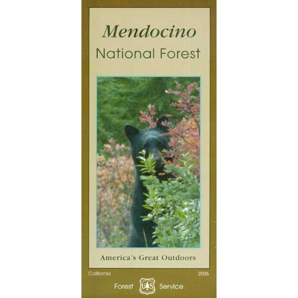
2006 Mendocino Map
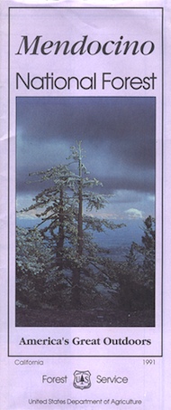
Mendocino NF, paper map 1991
Mendocino Forest Camping and Hiking Trails:
- CLEAR LAKE
- CLOVERDALE
- COVELO
- ELK CREEK
- KELSEYVILLE
- LAKE PILLSBURY
- NICE
- ORLAND
- UKIAH
- UPPER LAKE
- WILLITS
Access from US 101: Covelo eastward to Eel River, north to the Yolla Bolly-Middle Eel Wilderness boundary. Lake Pillsbury, North of Clear Lake. Opportunities for camping, boating, fishing, and hiking at the lake.
Access from Interstate 5: West of Stonyford is a popular area for OHV enthusiasts. Miles of OHV trails for ATV’s, motorcycles, 4x4s lead to many campgrounds and trailheads in the area. Some routes are closed due to landslides, so check with rangers before you venture too far out.


see also –
Mendocino Forest Topo Atlas
