SF Hiking Guides & Trail Maps
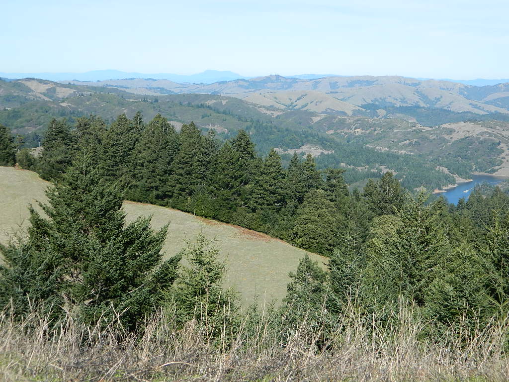
Marin County – real open space
 Welcome to Total Escape’s San Francisco Trail Map overview. The San Francisco Bay Area is one of the most populated areas of the Golden State, although it does offer some of the best “city hiking” anywhere around. Located next to the coast, this area has beaches, cliffs, waterfalls, redwood groves and numerous local mountains.
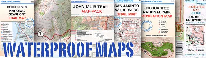
Several brands of hiking maps exist for the San Francisco Bay Area. National Geographic, Tom Harrison, Wilderness Press.
San Francisco Trail Maps:
-
Angel Island State Park Map
-
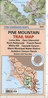
Marin Hiking Maps by Tom Harrison
-
Mount Diablo Map
-
Mount Tamalpais Maps
-
Point Reyes Map by NatGeo
-
Point Reyes Map by Tom Harrison
-
Santa Cruz Mountains Map by NatGeo

![]()
![]()
![]()

San Francisco Trail Maps
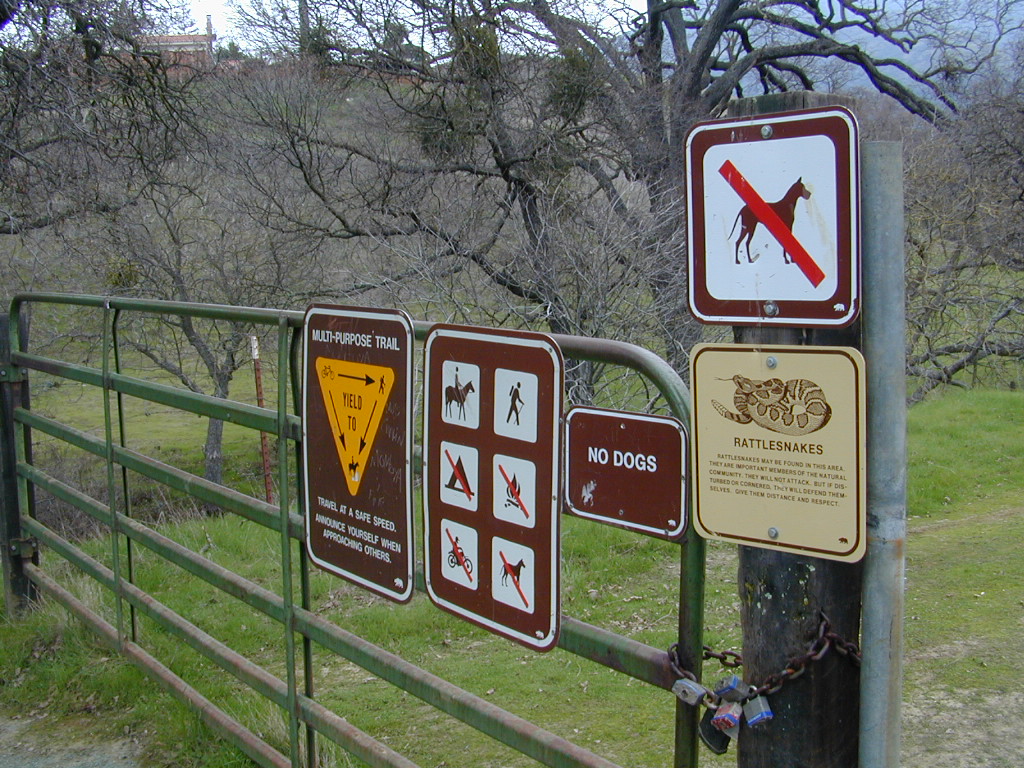
Maps and Guide Books for hiking, trail running, horseback and mountain bike trails, plus areas for picnicking, local camping spots and the very best view points in all the Bay Area of California. Parklands include – Redwood Forests, Open Spaces, Beach Cliffs, State Parks, National Parks, Wildlife Refuges, and Preserves. From the Point Reyes Lighthouse to the peak of Mount Diablo, we have it covered right here.
Wilderness Press Maps:
2022 unfortunately now all 3 of these recreation maps below are currently out of print and not easy to find online.
Pt Reyes National Seashore Map

Central San Francisco Peninsula Trails

San Francisco Peninsula Parklands

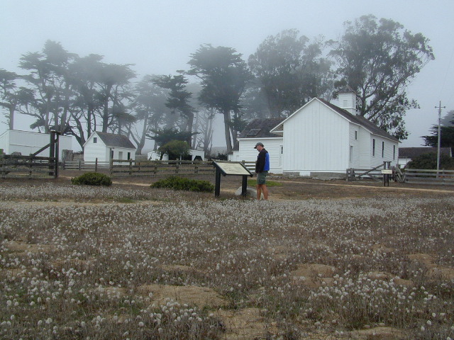
Tule Elk Preserve on the far north end of the Point Reyes peninsula

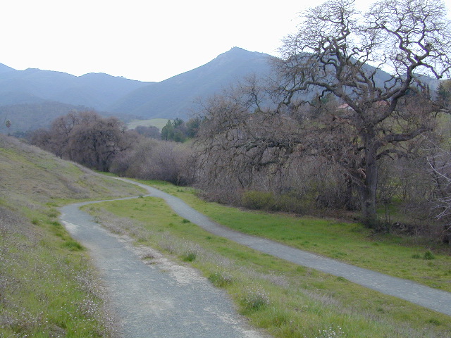
Mt Diablo Hiking Trails, East Bay San Francisco, California


see also –