Los Padres Atlas
Topographic Map USDA

USFS, United States Forest Service – aka National Forests
Ventura, Ojai, Santa Barbara Mountains, Mount Pinos, San Luis Obispo, Big Sur Coast
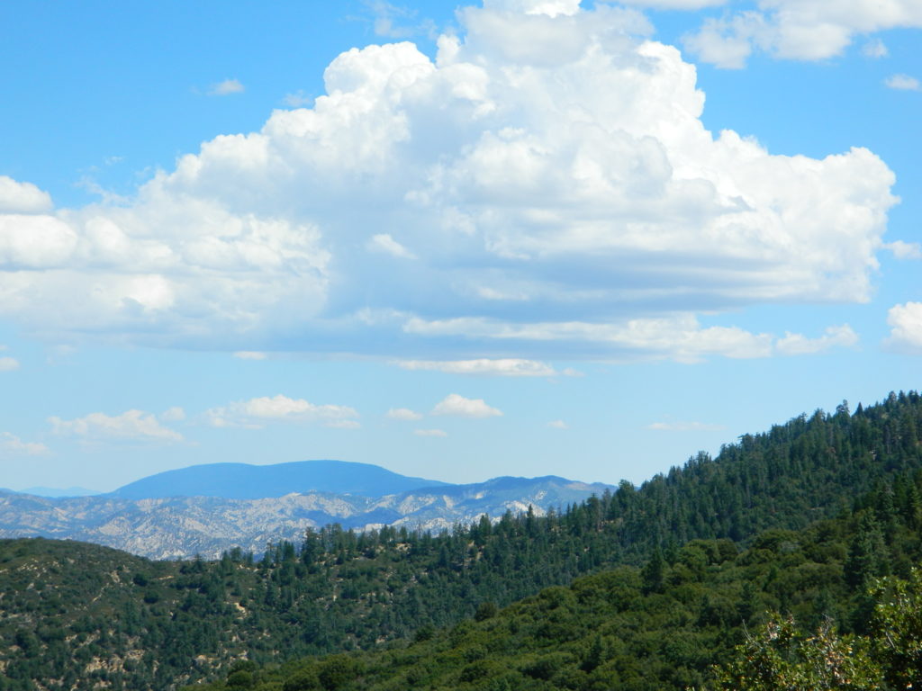
Mountains: Central Coast California
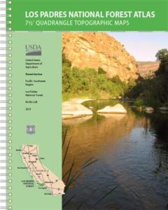
Los Padres Forest Atlas
a spiral bound book – a collection of all the quads. (7.5 minute topographical maps, of all of Los Padres National Forest) It includes both Los Padres NORTH (Monterey) & SOUTH (Ojai/Pinos). This book map has detailed topo lines, mountain peaks, streams, lakes, hiking trails & back roads. Perfect for all kinds of recreational needs.

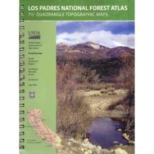
Older version of Los Padres Atlas
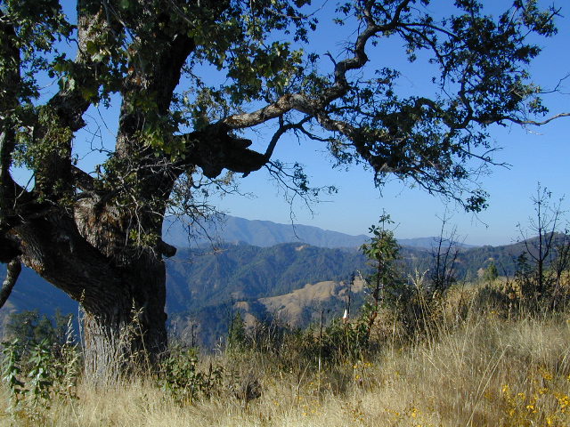
Big Sur Coastal Mountains

camping & exploring, Los Padres –
links and destinations
- Big Sur Back Roads
- Big Sur Campground
- Cerro Noroeste Rd

- Chumash Wilderness
- Dick Smith Wilderness
- Garcia Wilderness
- Mount Abel
- Mount Pinos Recreation
- Los Padres Camping

- Ojai Camping
- Quatal Canyon
- Reyes Peak
- Rock Front Ranch
- San Rafael Wilderness
- San Ynez River

- Santa Lucia Camping
- Santa Lucia Wilderness
- Sespe Hot Springs
- Sespe Wilderness
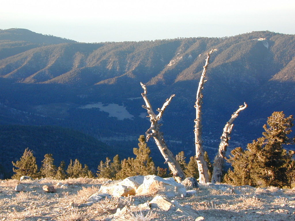
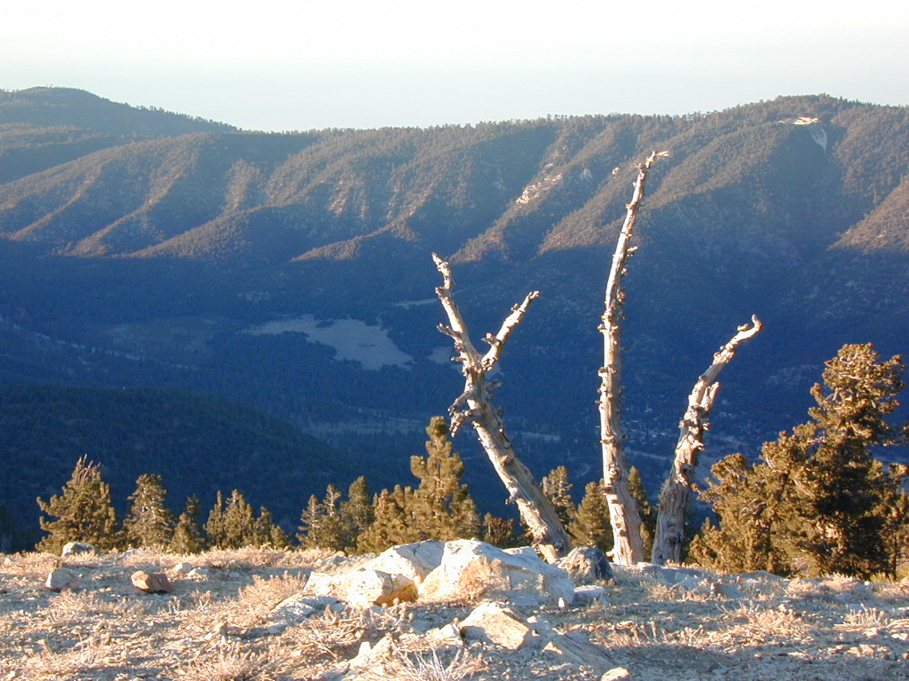
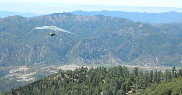
Pine Mountain @ Mil Potrero, as seen from top of Mount Pinos, CA
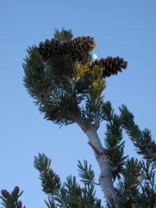
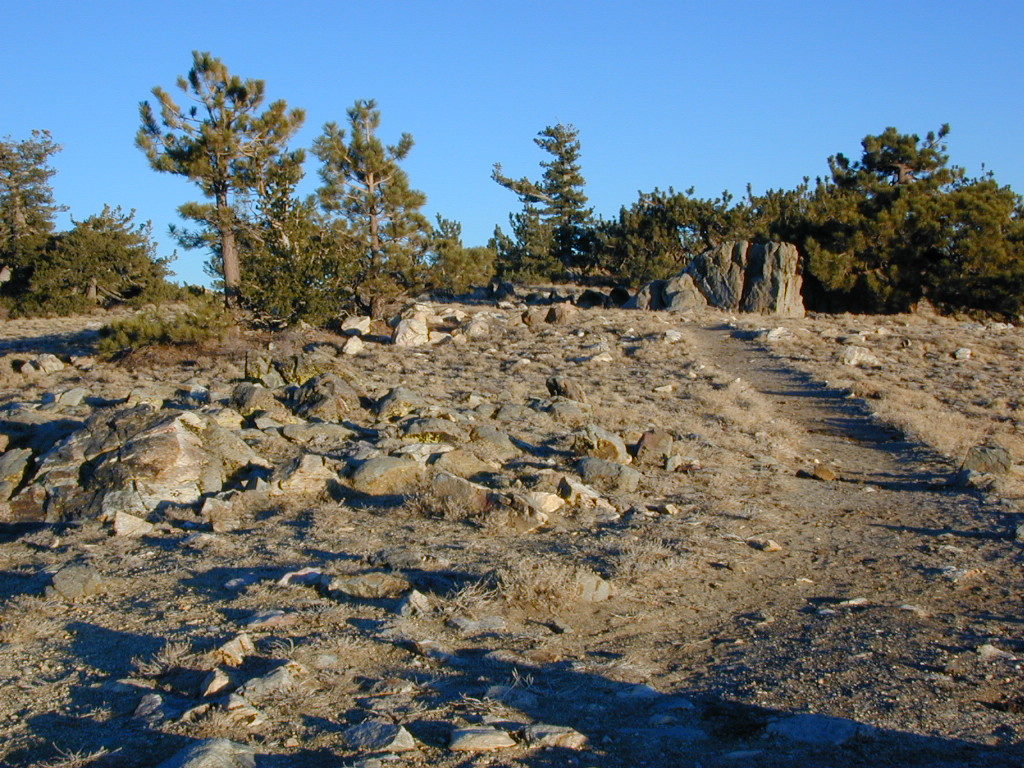
Hiking Trails on Mount Pinos
see also –
Big Sur Maps
Los Padres National Forest Map
Sespe Wilderness Map

 Excellent mountain biking trails on