
Los Padres National Forest Map: South
NFS – USDA – U.S. Forest Service
Los Padres Forest Map, Gorman, Frazier Park, Mt Pinos, Sespe Wilderness, Mount Pinos Recreation Area, Ojai & Santa Barbara Ranger Districts. Waterproof Map; water & tear resistant. GPS: Longitude & Latitude; Rivers, Creeks, Peaks, Elevations, 4WD & every dirt BackRoad, Hot Springs, Equestrian Areas, all Campgrounds, Hiking Trails & BackPacking Trailheads.
Areas Include: Central Coast California, Santa Barbara, Frazier Park, Ojai, Sespe Wilderness, Hungry Valley Park. Ranger Map – NFS issued map. GPS: Longitude & Latitude; Rivers, Creeks, Peaks, Elevations, 4WD & every dirt BackRoad, Hot Springs, Equestrian Areas, all Campgrounds, Hiking Trails & BackPacking Trailheads. Areas include: Central Coast California, Ventura County, Santa Barbara County, Goleta, Ojai, Frazier Park, Lockwood Valley, Sespe Wilderness, Camp Scheideck, Reyes Peak & Reyes Creek, Condor Sanctuary, Santa Ynez Mountains, San Rafael Wilderness, Chumash Wilderness, Dick Smith Wilderness, Hungry Valley State Vehicular Recreation Area, Jameson Lake, Pyramid Lake, Ozena, Sespe Hot Springs.
Map Scale = 1:126,720. Size: 27″x 48″ overall / 4″x9″ folded; Printed on plastic waterproof. ISBN# 9781593515195
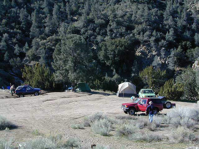
 Excellent mountain biking trails on Mount Pinos. Chumash Wilderness is accessible via Quatal Canyon, a long red dirt road with abundant scenery. Sespe Hot Springs requires a very long hike in, best done as an overnight backpacking trip. Camp O Alto is the ridge top campground at Mount Able. Miller Jeep Trail 4×4 Route, is located off of Lockwood Valley Rd. 4×4 Camping on Tecuya Mountain near Cuddy Valley. Free Campgrounds can be found in Los Padres.
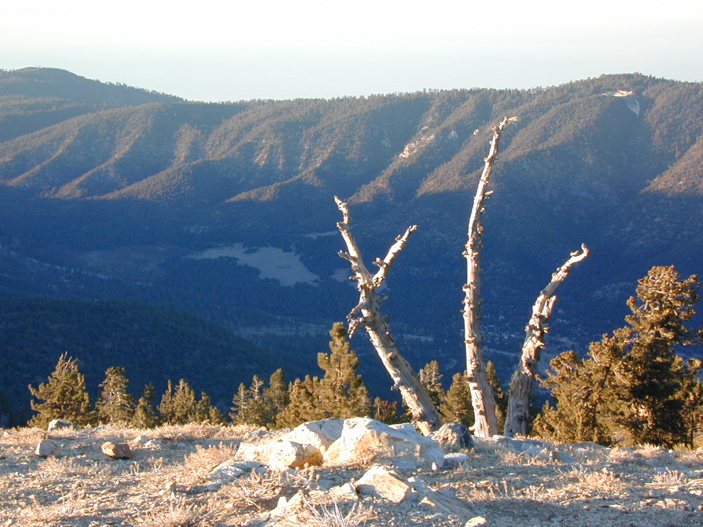
Pine Mountain Club, as seen from top of Mount Pinos, CA
nearby towns:
- CAMARILLO
- CARPINTERIA
- FRAZIER PARK
- GOLETA
- GORMAN
- MONTECITO
- NEW CUYAMA
- OJAI
- PINE MOUNTAIN
- SANTA BARBARA
- SANTA CLARITA
- SUMMERLAND
- TAFT
- VENTUCOPA
- VENTURA
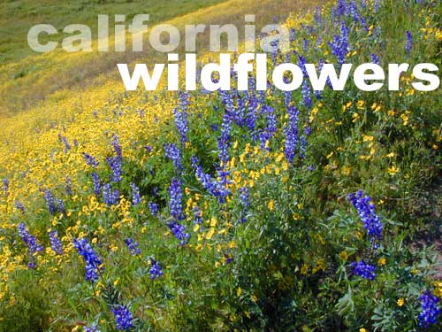
Los Padres is wildflower country
see also – NatGeo Los Padres East Map
