Stanislaus Topo Atlas

stanislaus atlas

Stanislaus Forest Atlas USDA

Central Sierra Nevada Mountains / Sonora Pass / Stanislaus RiverNational Forest Maps

Stanislaus National Forest

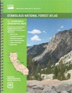
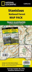
The Stanislaus Topo Atlas is a spiral bound book – a collection of all the quads. (7.5 minute topographical maps, of all of Stanislaus National Forest, California) This book map has detailed contour lines, rivers, streams, mountain peaks, streams, lakes, in addition to hiking trails & all the back roads. Sonora Pass Highway 88, with Ebbetts Pass Highway 4 just south of that. Most certainly the Stanislaus River and all area campgrounds. Perfect for all kinds of recreational needs. ISBN#  9781628114171

Calaveras, Northwest Yosemite, Spicer Reservoir, Dodge Ridge, Bear Valley Ski, Lake Alpine, Hetch Hetchy, Stanislaus Map.
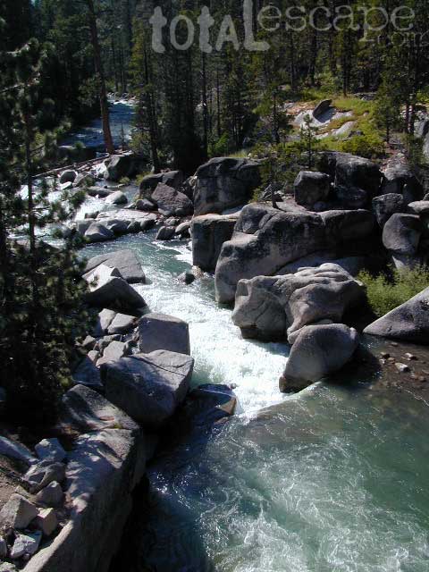
Stanislaus River Atlas

USDA Topo Map
Stanislaus National Forest QUADS:

from south to north –

leavitt lake

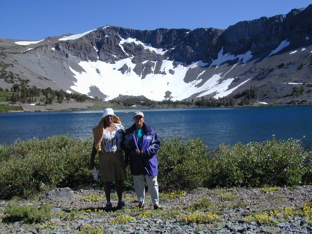
Leavitt Lake, elevation 9536′ – on the east side of Sonora Pass.
Sonora Pass Maps

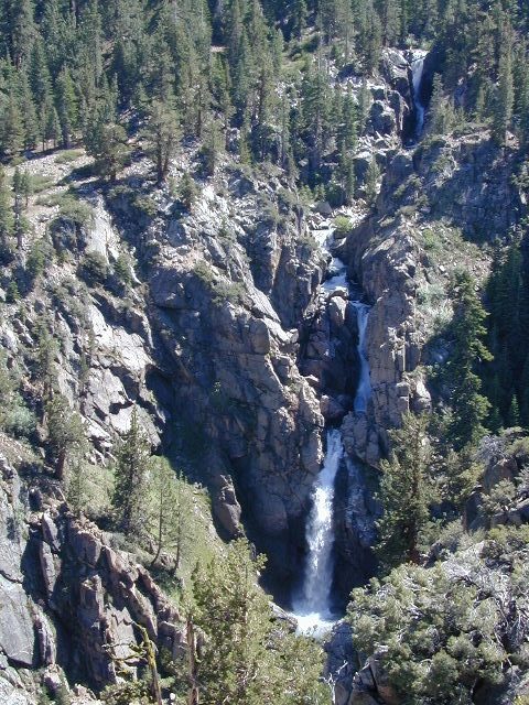
Leavitt Falls, CA SR 108 Sonora Pass


Topographic Map

Sierra Meadow Boondocking near Wilderness
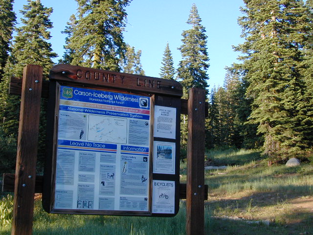
 

Trailhead Maps

County Line Trailhead – Carson Iceberg Wilderness

see also –

Marble Mountain Wilderness Map

Marble Mountain / Russian Wilderness Map

Marble Mountain Wilderness MapMarble Mountain Wilderness Map USDA

Marble Mountain Wilderness Map

Klamath River / Marble Mountains / Russian Wilderness
Marble Mountain Wilderness

Klamath National Forest

Marble Mountain Wilderness Map

OLDER VERSION

Yreka, Happy Camp, Klamath River, Salmon River, Scott River, Fort Jones, Orleans, Cuddihy Lake, Upper Albert Lake, Russian Wilderness.

Perfect for a day hike reference or extended backpacking adventures. 1″ & 2″ to mile; Waterproof plastic map paper. This map can usually be found at local Ranger Stations. ISBN# 9781593514204

NorCal:
best guide book for wild

Cliff Lake Backpacking Trip, Marble Mountain Wilderness, California, Aug 2007

horse trail mapsThe Marble Mountain  Wilderness is an area of high divides, deep canyons and perennial mountain streams provides habitat for a wide variety of plant and animal life. With more than 7,000 feet of vertical relief, soils from several rock types, and abundant rain and snowfall, the diversity of ecosystems is unequaled anywhere else in the country.

fishing mapWith 89 lakes and two major Wild and Scenic river systems – Wooley Creek and the North Fork Salmon River, as well as 32 miles of the Pacific Crest Trail, there are many recreation opportunities. Elevations range from 400 to 8,299 feet; the wilderness has highly variable terrain with low-elevation canyons and high ridges such as the 22-mile-long English Peak ridge.
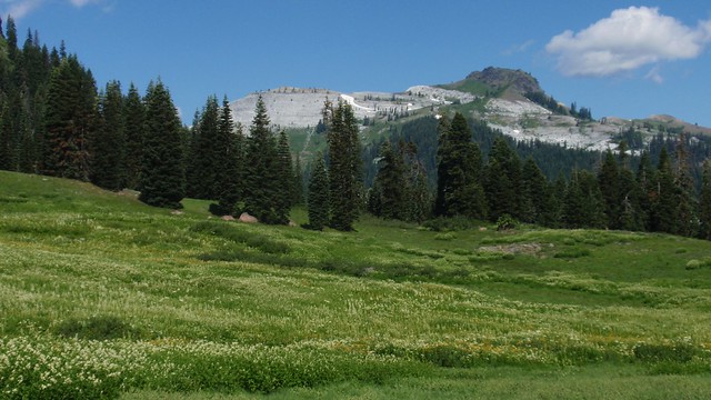
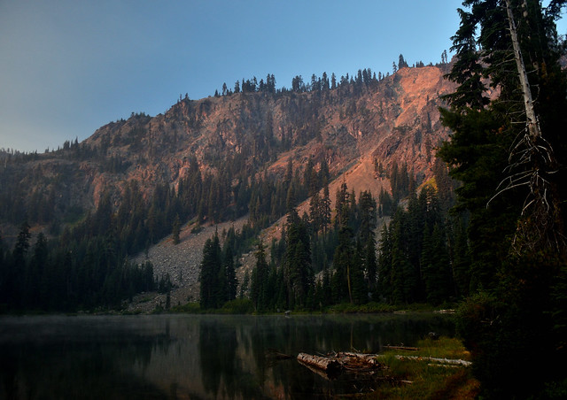
Popular activities include fishing, backpacking, mountaineering, rock climbing, and cross-country skiing.

camp map

There are also numerous caves within this wilderness, accessible to prepared spelunkers. They all feature stalactites and other flowstone formations, and are accessible mostly by vertical drops. Due to the hidden nature of most of the cave mouths, caving is not regulated, though the Forest Service and National Speleological Society request only experienced cavers attempt to access these dangerous caves. Signs at the trail heads that access the Marble Rim warn of white nose syndrome. One of the deepest caves in the continental US is located in the wilderness, Bigfoot Cave.

Sky High Basin 05

Summit Lake


Emigrant Wilderness Maps

Several map makers have waterproof topo maps covering the Emigrant Wilderness Area. Some have more than one wilderness per map, so know the MAP SCALE before you buy one, especially if you need it for an overnight backpacking adventure with super details.

Day hikes into EMIGRANT WILDERNESS AREA from – Sonora Pass (Hwy 108) or Yosemite @ Cherry Lake (Hwy 120).

Emigrant Wilderness – Central Sierra Nevada California

Emigrant Wilderness Maps

Emigrant Wilderness Map USDA

Emigrant Wilderness, South of CA 108 – Sonora Pass
part of Stanislaus NF and north of Yosemite National Park

Emigrant Wilderness Maps

OLD VERSION

High Sierra with deep snows close this region annually. Check local rangers for all road conditions, fire info, trail access points before departing on a backcountry trip. Wilderness permits and campfire permits are always required!

Waterproof Plastic Paper. 1″ to mile; Usually only found at Ranger Stations – Hard to find maps. Perfect for a day hike reference or extended backpacking adventures. Printed on plastic in 2016. ISBN# 9781628114133

Emigrant Wilderness Maps

Emigrant Wilderness Trail Map
Tom Harrison

Tom Harrison Trail Map: Emigrant Wilderness Map Trail Map, Sonora Pass Map, Sierra Nevada; Kennedy Meadows, CA. Pinecrest Lake, Dodge Ridge, Relief Reservoir, Leavitt Lake, Leavitt Meadows, The Dardanelles, Eagle Meadows; Sonora River fishing, Dardanelle CA. Durable, waterproof plastic map; Folded. Map Scale: 63.4K; ISBN# 9780989457910

Emigrant Wilderness Maps

previous version

NatGeo Wilderness Areas: Carson Iceberg, Emigrant & Mokelumne

Emigrant Wilderness Maps

Sonora Pass exploring, in search of wildflowers (mid-JULY)

Wilderness Press Topo Map: Yosemite & Vicinity

Emigrant Wilderness Map

Emigrant Trail Maps

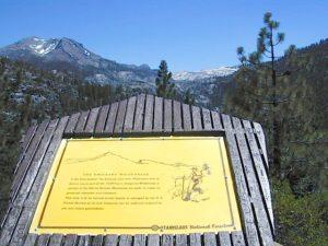
emigrantsign

Emigrant Wilderness Area
part of Stanislaus National Forest

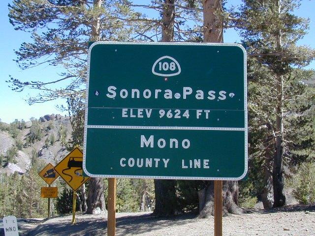
Highway 108 – Sonora Pass
Sierra Nevada Gold Country
North of Yosemite National Park

Emigrant Wilderness Map USDA

OLD VERSION

High Sierra with deep snow closes this region annually. This is usually the last Sierra Hwy Pass to OPEN for through-traffic in summer. It gets more snow than Yosemite. Check local rangers for all road conditions, fire info, trail access points before departing on a backcountry trip. Wilderness permits and campfire permits are always required!

Waterproof Plastic Paper. 1″ to mile; Usually only found at Ranger Stations – Hard to find maps. Perfect for a day hike reference or extended backpacking adventures. Printed on plastic in 2016. ISBN# 9781628114133


Emigrant Wilderness Trail Map

Topo Maps by Tom Harrison

Emigrant Wilderness Map

OLD VERSION

Tom Harrison Trail Map: Emigrant Wilderness Map Trail Map, Sonora Pass Map, Sierra Nevada; Kennedy Meadows, CA. Pinecrest Lake, Dodge Ridge, Relief Reservoir, Leavitt Lake, Leavitt Meadows, The Dardanelles, Eagle Meadows; Sonora River fishing, Dardanelle CA. Durable, waterproof plastic map; Folded. Map Scale: 63.4K; ISBN# 9780989457910

Wilderness Press Topographic Map


Emigrant Wilderness Map

see also –

Stanislaus National Forest Map
Stanislaus Forest Atlas
Yosemite High Country Map