John Muir Trail Books

Find John Muir Trail Maps

John Muir Trail

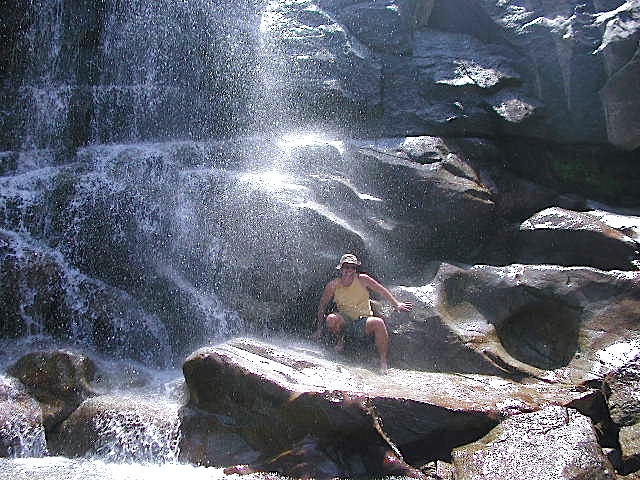
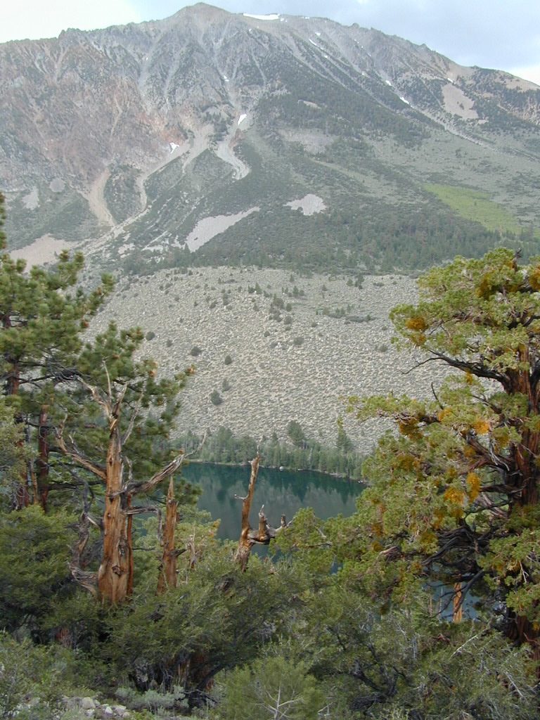
Photo credit copyright Mike Strickland

JMT: John Muir Trail & John Muir Wilderness

John Muir Trail Books

John Muir Trail Books

John Muir Trail Books

John Muir Trail Books

John Muir Trail Books

JMT

The John Muir Trail is a long-distance trail in the Sierra Nevada mountain range of California, passing through Yosemite, Kings Canyon and Sequoia National Parks. From the northern terminus at Happy Isles in Yosemite Valley and the southern terminus located on the summit of Mount Whitney, the Trail’s length is 213.7 miles, with a total elevation gain of approximately 47,000 feet. For almost all of its length, the trail is in the High Sierra backcountry and wilderness areas. For about 160 miles, the trail follows the same footpath as the longer Pacific Crest Trail. It is named after John Muir, the famous naturalist.

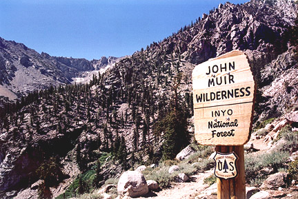
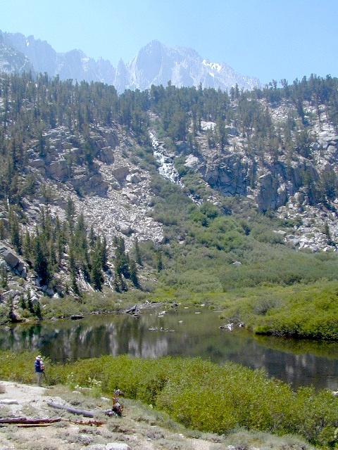
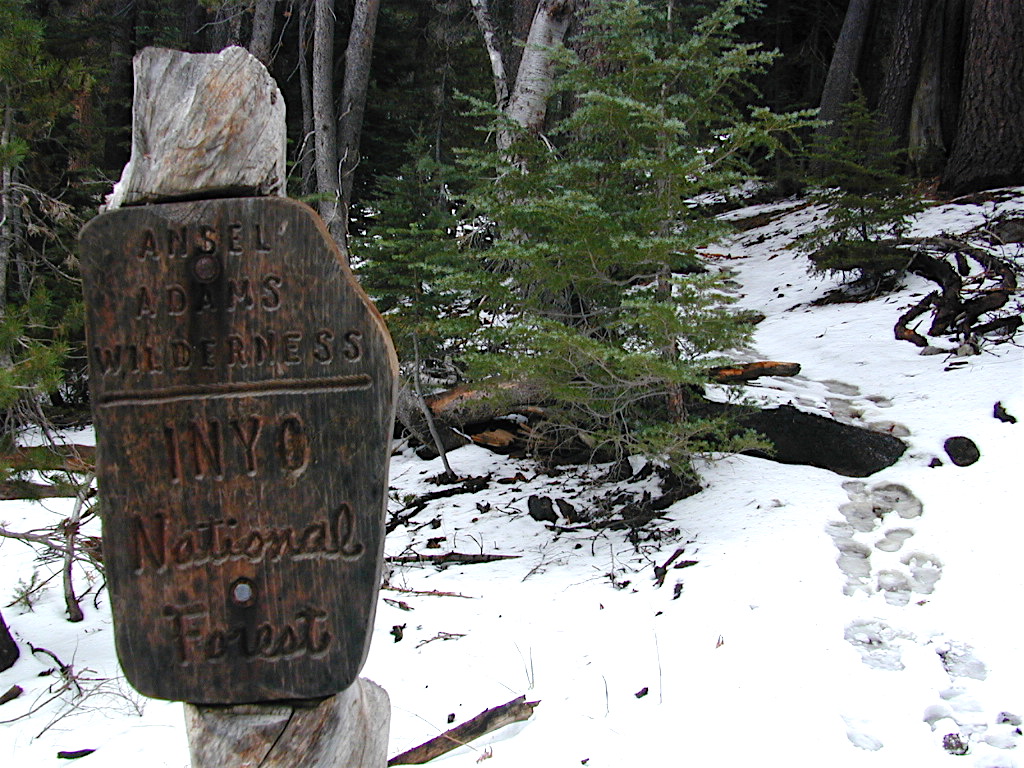
The JMT is 213.7 miles long. From its northern terminus in Yosemite Valley, the trail runs southeast, passing south of Half Dome and then on to Tuolumne Meadows. From Tuolumne Meadows the trail turns south, running parallel to the main range of the Sierra Nevada, through Yosemite National Park, Inyo and Sierra national forests (including the John Muir Wilderness and Ansel Adams Wilderness), passing through Devils Postpile National Monument, Kings Canyon National Park, and ending on Mount Whitney in Sequoia National Park. From the southern terminus of the JMT at the summit of Mount Whitney, an additional 10.6-mile hike on the Mount Whitney Trail is required to reach the nearest trailhead at Whitney Portal, thus making an end-to-end traverse of the JMT effectively 221 miles.

see also

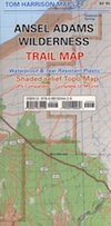
John Muir Wilderness Map 
PCT Pacific Crest Trail Books

John Muir Trail Books

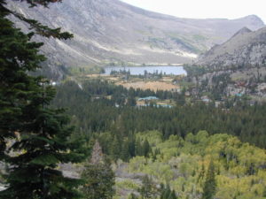
Little Pot Hole Lake, Kearsarge Pass Hike from Onion Valley

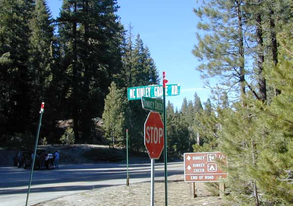
John Muir Trailhead locations:

Ansel Adams Maps

ansel adams sign

October is the month for Autumn colors in the aspen groves. It is also the time of the first snow fall of the season.

Ansel Easton Adams was a famous photographer who shot black and white images of the Sierra Nevada and Yosemite National Park in the early 1900’s. Originally part of the Wilderness Act in 1964, the area was known as the Minarets Wilderness. After his death in 1984, the wild land was expanded and renamed in honor of Ansel Adams, a well-known environmentalist and nature photographer.

Four topographic maps cover the Ansel Adams Area: USDA, Tom Harrison Maps, Wilderness Press & NatGeo Maps

Ansel Adams Maps

NatGeo Map #309 Yosemite SE
Ansel Adams Wilderness

Trails Illustrated Map from National Geographic. Yosemite National Park map #309. Yosemite Backcountry South East with Ansel Adams Wilderness, Hiking Trails, Trail Mileage. Merced Lake, Cloud’s Rest, Cathedral Range, Clark Range, Lyell Canyon, Chiquito Pass, Silver Lake, California. High country map. Many trails to explore. 2-sided map. Very detailed & colorful. Waterproof Plastic Map; Tear Resistant. GPS data. Scale = 1:40,000 ISBN# 9781566954136

Ansel Adams Maps

Ansel Adams Map USDA

Ansel Adams MapsNFS

Ansel Adams Wilderness
is part of Inyo National Forest and Sierra National Forest

This map is available at Ranger Stations.

This High Sierra terrain spans some of the most majestic areas of the Sierra Nevada – the youngest mountain range in the U.S. This wilderness is bordered by National Parks, National Forests, and other Wilderness Areas – all the way around it. Kaiser Wilderness and Lake Edison inside Sierra NF on the west, Yosemite National Park on the north, Inyo NF on the east side, and John Muir Wilderness on the south end. Wow!

Ansel Adams Maps

REAL OLD MAP

This 230,300 acre, high elevation wilderness was formerly the Minarets Wilderness, renamed in 1984 to honor the pioneering landscape photographer, Ansel Adams. Known for spectacular alpine scenery, elevations range from 7,000 to 14,000 feet. Rugged granite peaks and passes, with alpine lakes, includes high country east of the Sierra crest. Pacific Crest Trail and John Muir Trail cross this High Sierra Wilderness region.

Perfect for packing and hiking references, fishing lakes, creeks, high altitude camp sites, horse packing routes, or extended backpacking adventures. Map Scale = 1″ to mile; Printed on waterproof plastic paper. Updated in 2011. ISBN# 9781593515188

Ansel Adams Maps

Yosemite National Park
and Vicinity Map

by Wilderness Press

Ansel Adams Maps

Ansel Adams Wilderness Map
by Tom Harrison Maps

Yosemite National Park Hiking Backpacking Maps hike

Tom Harrison Trail Map: Ansel Adams Wilderness, Eastern Sierra Topographic maps for hiking and backpacking. Back road exploring and lake fishing too. This map has an amazing amount of alpine lakes & mountain destinations – from the western Sierra to the east side. Tioga Pass, Yosemite Wilderness, June Lake Loop, Mammoth Lakes, Gem Lake, Thousand Island Lake, Minarets, Silver Divide, Lake Edison, Mono Hot Springs, Mammoth Pool Reservoir, Clover Meadows and Granite Creek. Also included is the Mono Basin National Scenic Area, Mono Lake California. Durable, waterproof plastic map; Folded. Printed in 2010. Map Scale: 1:79,200 ISBN# 9780981834429

avenza mapsdownload digital version of this map
Ansel Adams Wilderness Map

Ansel Adams Maps

OLDER EDITION

nearby towns –

Ansel Adams Maps

June Lake Loop, as seen from trail to Fern Lake

walkerlake

Ansel Adams Books

see more BOOKS

Dinkey Lakes Maps

Dinkey Creek Map
Dinky Lakes, California

Several map producers cover this popular western Sierra Wilderness region. Tom Harrison makes a hiking topo, so does the USDA. NatGeo even has a nice, new, colorful Shaver Lake Map.Dinkey Creek Map

Dinkey Lake Wilderness

Dinkey Lake, Dinky Creek, Sierra National Forest, Courtright Reservoir, Trailheads, OHV 4×4 Routes, Dusy-Ershim Trail, Red Lake, Coyote Lake, Ershim Lake, Crater Lake, Summitt Lake, Mallard Lake, Mystery Lake Trail, Swede Lake, South Lake, Rainbow Lake, Swamp Lake, Island Lake, Rock Lake, Little Lake, First Dinkey Lake, Cliff Lake, Nelson Lakes, Helms Creek, Perkins Camp, Florence Lake, Jackass Meadow, Badger Flat, John Muir Wilderness

dinky lakes wilderness trails
Dinkey Lakes Wilderness Trail Map

Topo Maps by Tom Harrison

Tom Harrison Trail Map: Dinkey Lake Wilderness , part of Sierra National Forest – Central Sierra California. Courtright Reservoir, Maxson Trailhead, OHV Swamp 4×4 Route, Dusy-Ershim Trail, Red Lake, Coyote Lake, Ershim Lake, Crater Lake, Summitt Lake, Mallard Lake, Mystery Lake Trail, Swede Lake, South Lake, Rainbow Lake, Swamp Lake, Island Lake, Rock Lake, Little Lake, First Dinkey Lake, Cliff Lake, Nelson Lakes, Helms Creek, Perkins Camp, Florence Lake, Jackass Meadow, Badger Flat, Borders the John Muir Wilderness to the east. Durable, waterproof plastic map; Folded. Map Scale: 42K; ISBN# 9781877689987

avenza mapsdownload digital version of this map –
Dinkey Lakes Wilderness Map

Dinkey Lakes Maps

DinkeyLakes
Dinkey Lake Wilderness Map USDA

Currently Unavailable Online. Available at Ranger Stations

Dinkey Lakes Trails / Dinkey Creek Camping

Dinkey Lakes Wilderness Map. Perfect for a day hike reference or extended backpacking adventures. Scale = 2″ to mile; Usually only found at Ranger Stations – Hard to find maps. Printed on paper; Last updated in 1991.

camp


Dinkey Lakes Maps

Dinkey Creek @ Dinkey Bridge

NatGeo Map #810 Shaver Lake

Shaver Lake Camping
National Geographic Shaver Lake Map

snowmo
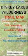
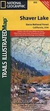
National Geographic Map #810; Shaver Lake Map, Huntington Lake, Sierra National Forest maps from National Geographic. 4×4 routes around the central Sierra Nevada. Dinkey Lakes Wilderness, Kaiser Wilderness, Rancheria Falls, Black Point, Lewis Creek Tamarack Creek, Red Mountain, Red Lake, Sierra Vista Scenic Byway, Sierra Heritage Scenic Byway. Hiking, mountain biking, horse back & OHV trails. Lake trails, wilderness trail, loop trail, lake campgrounds. Two sides, waterproof & tear resistant. Map Scale 1:63,360 / 1 inch = 1 mile. ISBN# 9781566952422

Dinkey Lakes Maps

rancheria falls