Ishi Wilderness Map

Ishi Hiking Map

Ishi Wilderness Map

This Northern California map issued by the USDA National Forest includes 3 separate wilderness areas –

Ishi @ Cohassett / Chico Hikes / Lassen Maps

Caribou Wilderness, Ishi Wilderness & Thousand Lakes Wilderness

Lassen National Forest

Three different NorCal wilderness areas: Caribou Wilderness, Ishi Wilderness, Thousand Lakes Wilderness are all featured on this USDA topo map. Perfect for a day hike reference or extended backpacking adventures. Map Scale = 1″ to mile; Printed on paper.

Ishi Wilderness Map

towns nearby:

downhill from a volcano, Lassen Peak

This mountain foothill land is etched by wind and water, and dotted with basalt outcroppings, caves, and unusual pillar lava formations. The land is a series of east-west running ridges framed by rugged river canyons, with the highest ridges attaining elevations of 4000′. Deer Creek and Mill Creek are the principal drainage and flow into the Sacramento River.

oak forestsThe sun-baked south slopes are covered with chaparral brush. Pines and oaks thrive on the moister slopes facing north and lush damp forests line the river banks. This area is home to pine clusters, dense areas of ponderosa pine growing on terraces in river cut canyons.

Oh Deer! The largest migratory deer herd in California, the Tehama deer herd, winters in this Ishi wilderness area. In addition, wild hogs, mountain lions, black bears, coyotes, bobcats and jack rabbits also live out here. A State Game Refuge, where hunting is not permitted, occupies most of the Ishi Wilderness.

However, special fishing regulations are in effect for fishing in Deer and Mill Creeks, home to many fish species. And of course, a valid California fishing license is required.

A variety of raptors including hawks, eagles, falcons, and owls nest in the rock cliffs. Wild turkey, quail, mourning doves, canyon wrens, band-tailed pigeons, bats and many songbirds are frequently seen.

Ishi Wilderness Map

see also – 

Lassen Books
Lassen Forest Topo Atlas
Lassen National Forest Map USDA
Lassen Park Maps
Bucks Lake Wilderness Map
Fishing Maps

Six Rivers Topo Atlas

6 Rivers Atlas Topo USDA
Six Rivers National Forest

6 rivers atlas

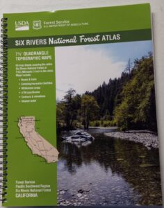
The 6 RIVERS atlas, is a spiral bound book – a collection of all the quads. (7½ minute topographical maps, of all of Six Rivers National Forest, California) This book map has detailed topo lines, mountain peaks, streams, lakes, hiking trails & back roads. Perfect for all kinds of recreational needs. These particular maps are on a per order basis, meaning most have to be special ordered from the ranger – which takes about a week to get them. USDA Forest Service book atlas.

Six Rivers Forest

Six Rivers National Forest QUADS:
from south to north –

  • Four Corners Rock
  • Long Ridge
  • Lake Mountain
  • Swim Ridge
  • Shannon Butte
  • Zenia
  • Alderpoint
  • Smokey Creek
  • Forest Glen
  • Ruth Lake
  • Black Lassic
  • Sporthaven
  • Dinsmore
  • Showers Mountain
  • Blake Mountain
  • Hyampom
  • Hyampom Mountain
  • Sims Mountain
  • Board Camp Mountain
  • Mad River Buttes
  • Ironside Mountain
  • Hennessy Peak
  • Grouse Mountain
  • Maple Creek
  • Denny
  • Salyer
  • Willow Creek
  • Lord-Ellis Summit
  • Trinity Mountain
  • Tish Tang Point
  • Hoopa
  • Salmon Mountain
  • Hopkins Butte
  • Weitchpec
  • Forks of the Salmon
  • Orleans Mountain
  • Orleans
  • Fish Lake
  • Johnsons
  • Medicine Mountain
  • Somes Bar
  • Bark Shanty Gulch
  • Lonesome Ridge
  • Blue Creek Mountain
  • Ah Pah Ridge
  • Ukonom Lake
  • Ukonom Mountain
  • Dillon Ukonom
  • Chimney Rock
  • Summit Valley
  • Klamath Glen
  • Requa
  • Prescott Mountain
  • Ship Mountain
  • Cant Hook Mountain
  • Childs Hill
  • Devils Punchbowl
  • Hurdygurdy Butte
  • Gasquet
  • Hiouchi
  • Broken Rib Mountain
  • Shelly Creek Ridge
  • High Plateau Mountain
  • High Divide

hikers map

camp map

river map
see also –
Six Rivers NF Map
PCT Map Cascades

San Bernardino Topo Atlas

San Bernardino
National Forest Atlas USDA San Bernardino Forest Atlas

Big Bear / Lake Arrowhead / Idyllwild
San Bernardino Mountains
Big Bear Atlas Topo

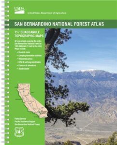
SAN BERNARDINO atlas, is a spiral bound book – a collection of all the quads. (7½ minute topographical maps, of all of San Berdu National Forest) This book map has detailed topo lines, mountain peaks, streams, lakes, hiking trails & back roads. Perfect for all kinds of recreational needs. Southern California, mountain recreation. Printed in 2018 USDA. ISBN# 9781628114300

Forest Falls, CA

Forest Falls LA

Forest Falls – waterfall near L.A.

San Bernardino National Forest QUADS:
from south to north

San Bernardino, Mountains, Trails, Map, Big Bear, Idyllwild, Big Bear Map, Topographical Maps, Topo Atlas, San Gorgonio, Backpacking Big Bear, Hiking, Hike Gorgonio, Mount San Gorgonio; Old Gray Back, Grayback, Greyback, Big Bear 4×4 Trail

San Bernardino Forest Atlas

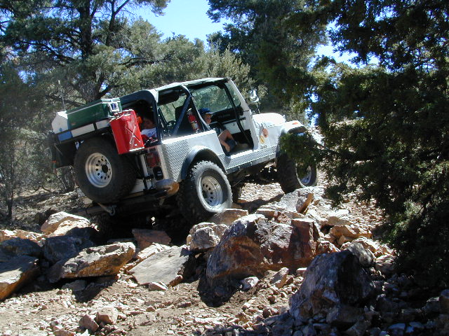
Rock Garden on Gold Mountain Trail, Big Bear, CA


San Bernardino Forest Atlas

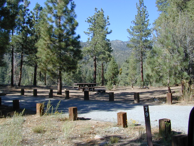
HeartBar Campground, near Mount San Gorgonio

see also –

San Bernardino NF Map
San Jacinto Map
San Gorgonio Map
Big Bear Maps
PCT Map Angeles
Angeles Maps

San Bernardino Forest Atlas

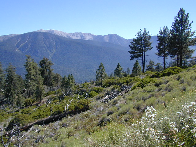
San Gorgonio views, from Forest Road #2N93

Tuolumne Meadows Map

Tuolumne Meadows Map
Tuolumne Trail Map
Tom Harrison

2022: OUTTA PRINT & UNAVAILABLE

HIGH SIERRA CAMP LOOP
Tuolumne climbing. Tuolumne falls. Tuolumne hikes.

Tuolumne Meadows Map

PREVIOUS VERSION

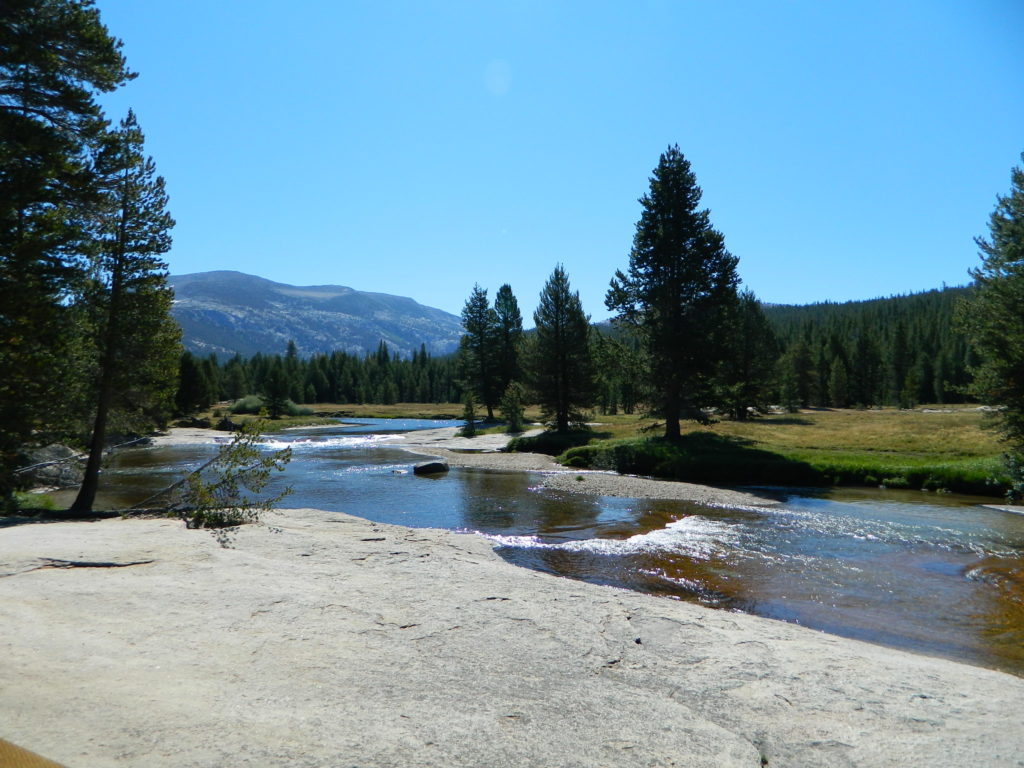
Tuolumne Meadows & Tuolumne River

Yosemite National Park hikes

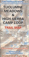
Tuolumne Meadows Trail Map; Yosemite Tuolumne Mdws Hiking Map. Areas include: High Sierra Camps, May Lake, Vogelsang Camp, Sunrise Camp, Elizabeth Lake, Tenaya Lake, Yosemite Backcountry Highcountry, Waterwheel Falls, Merced Lake, Glen Aulin. Map features the entire High Sierra Camp Loop Trail, and interception of the John Muir Trail and the Pacific Crest Trail.

Topo Yosemite Topo Maps Backpacking Tuolumne High Country, High Sierra Loop Maps; GPS Compatible. Durable, waterproof plastic map; Folded. Map Scale: 42K; ISBN# 9781877689802

Tuolumne Meadows Mapdownload digital version of this map –
Tuolumne Meadows Hiking Map

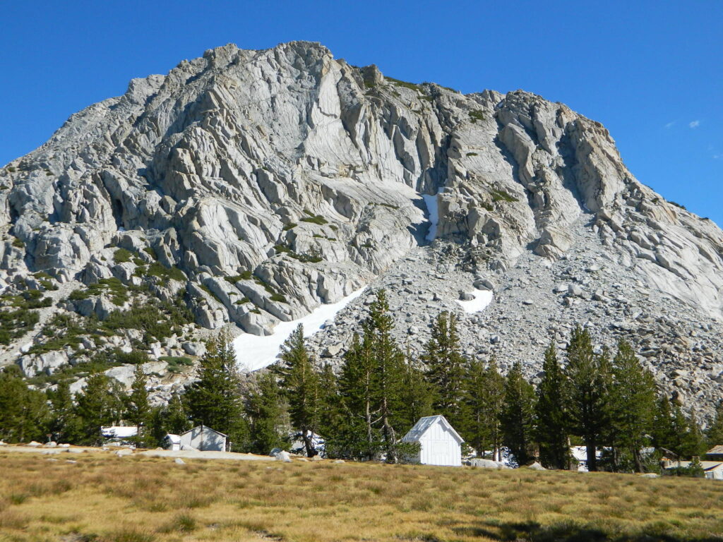
to Vogelsang

Vogelsang Camp

Vogelsang Camp

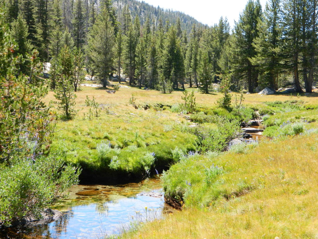
High Sierra Camps at Yosemite National Park are a network of summer tent cabin camps, erected in the wilderness, that are linked by a 50 mile loop hiking trail. The only way to reach these camps is on foot. Call it ‘ultralight backpacking’ cuz you can leave out the tent, stove and half the food. Meals are prepared in kitchens at each camp. Passing alpine lakes, creeks, meadows and granite peaks, the trails cover granite slabs, waterfalls, wildflowers and epic views of the back country. Advance reservations are required.

HSC Loop:

  • Tuolumne Meadows Camp
  • Volgelsang Camp
  • Lake Merced Camp
  • Sunrise Camp
  • May Lake Camp

Hiking Maps

see also –

All Yosemite Maps by Tom Harrison
Half Dome Trail Map
All Yosemite Maps by NatGeo
Ansel Adams Wilderness Maps
John Muir Trail Map