6 Rivers Atlas Topo USDA
Six Rivers National Forest
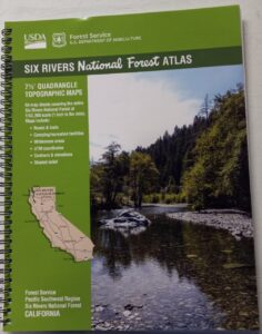
The 6 RIVERS atlas, is a spiral bound book – a collection of all the quads. (7½ minute topographical maps, of all of Six Rivers National Forest, California) This book map has detailed topo lines, mountain peaks, streams, lakes, hiking trails & back roads. Perfect for all kinds of recreational needs. These particular maps are on a per order basis, meaning most have to be special ordered from the ranger – which takes about a week to get them. USDA Forest Service book atlas.
Six Rivers National Forest QUADS:
from south to north –
- Four Corners Rock
- Long Ridge
- Lake Mountain
- Swim Ridge
- Shannon Butte
- Zenia
- Alderpoint
- Smokey Creek
- Forest Glen
- Ruth Lake
- Black Lassic
- Sporthaven
- Dinsmore
- Showers Mountain
- Blake Mountain
- Hyampom
- Hyampom Mountain
- Sims Mountain
- Board Camp Mountain
- Mad River Buttes
- Ironside Mountain
- Hennessy Peak
- Grouse Mountain
- Maple Creek
- Denny
- Salyer
- Willow Creek
- Lord-Ellis Summit
- Trinity Mountain
- Tish Tang Point
- Hoopa
- Salmon Mountain
- Hopkins Butte
- Weitchpec
- Forks of the Salmon
- Orleans Mountain
- Orleans
- Fish Lake
- Johnsons
- Medicine Mountain
- Somes Bar
- Bark Shanty Gulch
- Lonesome Ridge
- Blue Creek Mountain
- Ah Pah Ridge
- Ukonom Lake
- Ukonom Mountain
- Dillon Ukonom
- Chimney Rock
- Summit Valley
- Klamath Glen
- Requa
- Prescott Mountain
- Ship Mountain
- Cant Hook Mountain
- Childs Hill
- Devils Punchbowl
- Hurdygurdy Butte
- Gasquet
- Hiouchi
- Broken Rib Mountain
- Shelly Creek Ridge
- High Plateau Mountain
- High Divide


see also –
Six Rivers NF Map
PCT Map Cascades


