Crystal Basin Silver Fork Map

Crystal Basin Map
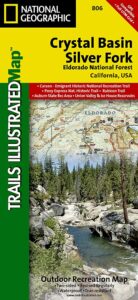
Crystal Basin & Silver Fork
of Eldorado NF
NatGeo Map # 806

Loon Lake, Central Sierra Nevada Maps

hikers map
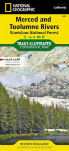
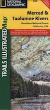
Trails Illustrated Map from National Geographic. Crystal Basin / Silver Fork Map inside El Dorado National Forest map #806. 4×4 routes for the Rubicon Trail – all the way to Tahoe. Loon Lake, Union Valley Reservoir, Ice House Reservoir. Auburn State Recreation Area (Auburn SRA) and Carson – Emigrant Historic National Recreation Trail. Pony Express National Historic Recreation Trail.

Mountain bike trails, backpacking routes, equestrian and hiking trail mileage. High country map. Many rivers, roads and trails to explore. 2-sided map. Very detailed & colorful. Waterproof Plastic Map; Tear Resistant. GPS data. Scale = 1:63,360 ISBN#9781566952644

Silver Lake @ Carson Pass

Crystal Basin Silver Fork

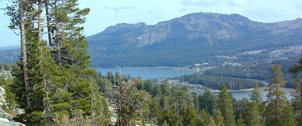
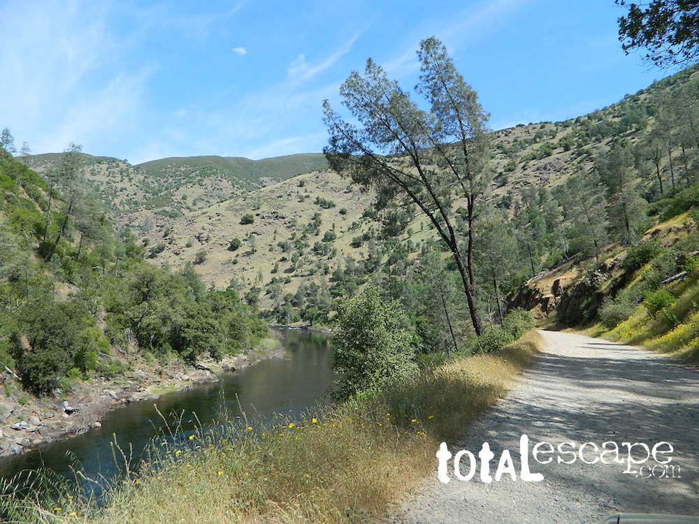
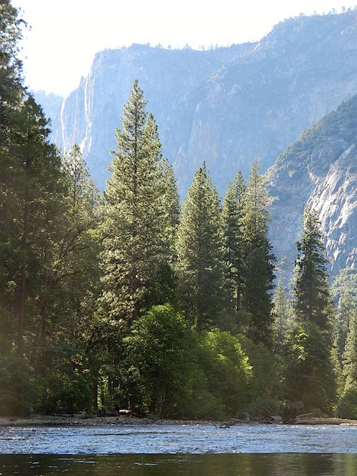
The Crystal Basin spreads over 85,000 acres north of Highway 50 and west of Desolation Wilderness. Wonderful views of the Crystal Range extends north along the ridge from prominent Pyramid Peak (9963′ elev), Mount Price, Red Peak, and Silver Peak.

The Crystal Basin Recreation Area is a joint development between the Sacramento Municipal Utility District and the National Forest Service. SMUD operates a series of reservoirs and hydroelectric powerhouses which furnish energy to the Sacramento area.

Plasses

see also –

Carson Iceberg Wilderness Map
Desolation Wilderness Trail Map
Eldorado National Forest Map
Gold Country Maps

Merced Tuolumne Rivers Map

Merced & Tuolumne Rivers Map

BLM Merced River

Merced River Map

Merced Tuolumne Rivers MapNational Geographic Trails Illustrated
Merced River & Tuolumne River
NatGeo Map #808

Stanislaus National Forest

NatGeo Wild & Scenic Rivers, Calaveras Big Trees State Park, Ebbetts Pass, Hwy 4, Route 140 Scenic Byways, Pinecrest Lake National Recreation Trail, River Access Points. Campgrounds, trailhead parking, picnic grounds, all paved roads & dirt roads.

Full Color, 2 -sided map. GPS Compatible, Full UTM Grid. Waterproof ISBN# 9781566952415

river map

fishing map

Merced Tuolumne Rivers Map

see also –

Emigrant Wilderness Books
Emigrant Wilderness Maps
Gold Country Maps
Stanislaus National Forest Map
Stanislaus Forest Atlas
Tuolumne Meadows Trail Map
Yosemite Maps by NatGeo
Yosemite Trail Maps by Tom Harrison

Yosemite River Map

Merced River in Yosemite NP

Merced River in Yosemite NP

Klamath National Forest Map

Northern California’s Klamath region is a wild and rugged country, for city folks thinking about visiting, especially during the wet winters. Call ahead to local ranger stations to find out if the roads are indeed open and if 4×4 is required. Always check the weather forecast and do not expect cell phone coverage in this remote, steep, narrow, river canyon landscape. Rock slides and landslides are quite common, therefore you should be well prepared to spend the night in your vehicle. Pack warm clothes, blankets, flashlights, food and drinking water whenever you travel in this neck of the woods.

2024: THIS MAP CURRENTLY UNAVAILABLE

klamath river map

Klamath River Map

klamath mapsNorthern California forest situated around the Klamath River

Klamath River Map / Klamath National Forest

Klamath Forest

klamath river mapKlamath National Forest Map USDA
USGS map California: Klamath Map. Klamath River Camping, Hiking and Fishing. NorCal Mountains, Rivers, Creeks

Klamath Ranger Map – NFS issued map. GPS: Longitude & Latitude; Rivers, Creeks, Peaks, Elevations, 4WD & every dirt BackRoad, Hot Springs, Equestrian Areas, all Campgrounds, Hiking Trails & BackPacking Trailheads. Areas include: Northern California, Trinity County, Siskiyou County, Humbolt County, Yreka, Fort Jones, Happy Camp, Klamath River, Scott River, Salmon River, Marble Mountain Wilderness, Salmon Mountains , Macdoel, Goosenest, Oak Knoll, Ukonom, Orleans, fishing map klamathButte Valley Wildlife Area, Somes Bar, Siskiyou Mountains, Oregon border.

Map Size: 35″x 45″ overall / 4″x9″ folded; ISBN# 9781628114249

Klamath River Map

OLDER VERSION

Klamath Topo Map

Klamath Highway 96 – when gasoline was less than $2 per gallon!

Road Impassible?

Road conditions on Klamath Forest roads can change at a moment’s notice. In Northern California wet climate, sudden storms can cause land slides, deep mud, erosion and flash floods. Areas that were easily accessible in other seasons can become treacherous in winter. Forest roads may be closed and gated in winter months. A high-clearance vehicle is best when traveling within the Klamath National Forest, and in wetter months 4-wheel drive may be required on the back roads This region in particular has an increased risk of avalanche, even along paved Highway 96.

REAL OLD EDITION

klamath river map

PCT Klamath Maps

PCT Map Klamath NF

PCT Oregon South

Klamath Maps

Downtown Weed, California


Klamath Forest Atlas

Klamath Topo Atlas USDA

Klamath National Forest

nearby towns:klamath trail map

Klamath National Forest Maps

Downtown Yreka, California

NFS or USFS

Klamath USFS ranger stations:

Klamath National Forest Headquarters
1711 South Main Street
(Highway 3: Fort Jones Road)
Yreka, California 96097
530-842-6131

Macdoel Ranger Station USFS
Goosenest Ranger District
Butte Valley National Grassland
37805 Highway 97, Macdoel, CA 96058
530-398-4391

Happy Camp Ranger Station USFS
Oak Knoll Ranger District
63822 Highway 96, Happy Camp, CA 96039
530-493-2243

Fort Jones Ranger Station
Salmon River USFS
Scott River Ranger District
11263 Highway 3, Ft Jones, CA 96032
530-468-5351

ranger stations

Mount Tam Trail Map

Mount Tam Trail Map

Mt Tam Topo Map
Mount Tam Trail Map


Mount Tamalpais Trail Map
Marin Hiking Map
by Tom Harrison

Tom Harrison Trail Maps: Mount Tamalpais Trail Map, Mount Tamalpais State Park Map; Marin County Open Space, Marin Municipal Water District, San Francisco Hiking Maps, San Francisco Hikes, Backpacking Point Reyes. Camping Point Reyes Redwoods. Mount Tam Hiking, Golden Gate National Recreation Area.

Durable, waterproof plastic map; Folded. Map Scale: 24K; ISBN# 9781877689741

    • backpackMount Tam Trail Map
    • camp
    • hike
    • mountain bike
    • picnic


Mount Tam Trail Map
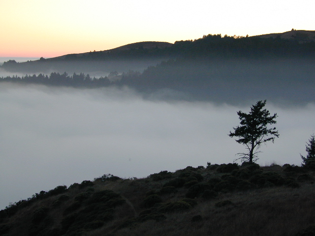
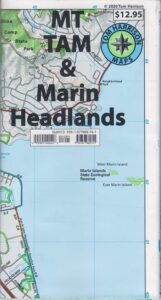
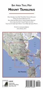
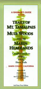
Mount Tamalpais is considered the birthplace of mountain biking. This State Park isĀ one of the most popular hiking areas in Marin County, California. Mount Tamalpais is the most prominent physical feature north of the Golden Gate in the San Francisco Bay area. Its slopes are covered with a variety of forests, hiking and biking trails, accessible from trailhead and campgrounds around its perimeter.

california

other local maps for
Marin County & Mount Tamalpais:

Mt Tamalpais Map

Muir Woods Map Marin

nearby towns:

Mount Tam Trail Map

see also –
Point Reyes Map
All Mount Tamalpais Maps