Tahoe Rim Trail Map

Tahoe Tom Harrison Map
Tahoe Rim Trail Map

Lake Tahoe Recreation Map
by Tom Harrison MapsTahoe Rim Trail Map

California’s Jewel of the Sierra

Tahoe Rim Trail Topo Map: Lake Tahoe Recreation Map, Tahoe Topo Maps, Hiking Trails Backpacking Maps, Lake Tahoe Hikes; Meeks Bay, Martis Peak, Tahoe Rim Trail, King Beach, Emerald Bay, Granlibakken, Spooner Lake, Martlett Lake, Tahoe Meadows, Desolation Wilderness Trails, Sugar Pine Point, South Lake Tahoe, Alpine Meadows, Fallen Leaf Lake Hiking Trails. Durable, waterproof plastic map; Folded. Map Scale: 72K; ISBN# 9781877689598
Tahoe Rim Trail Map

PREVIOUS EDITION

digital maps download digital versions of this map

Tahoe Rim Trail Maps
Lake Tahoe Rim Trail Map (East/NV)
Lake Tahoe Rim Trail Map (West/CA)

driftwood

hikers mapTRT

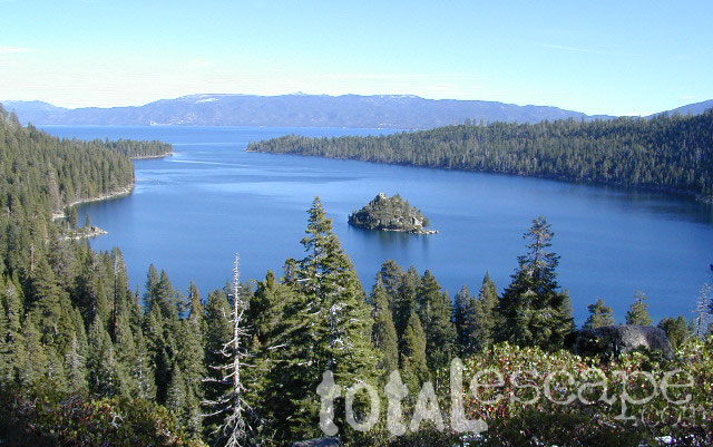
The Tahoe Rim Trail is 165 miles of single-track trail that circum-navigates perimeter of Lake Tahoe, CA.  while passing through 2 states, 6 counties, one state park, 3 national forests, and 3 wilderness areas. Forty-nine miles overlap with the Pacific Crest Trail. A network of additional trails connects to this popular rim trail.

Elevations along the trail range from 6,300′ at Tahoe City to 10,338′ at the top of Relay Peak. Numerous creeks and lakes, ridges and meadows, conifer forests, scree slopes and alpine terrain with wildflowers.

wildflowerThere are 10 official trailheads that access the eight trail segments which form a continuous loop in the mountains above the lake. The segments range from 12.2 to 32.5 miles in length. Unofficial entry points also provide a means of getting onto the trails. Trail conditions are best during the usually snow-free months of July through October, and the height of the wildflower bloom is usually July and August.

National Geographic Maps also makes a trail map for Tahoe Rim Trail.
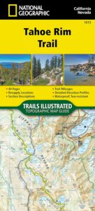
TAHOE RIM TRAIL NG

Lake Tahoe Rim Trail, Sierra Nevada, California

  • day hikes
  • mountain bike
  • backpacking
  • horseback trails
  • meadows
  • wildflowers

Tahoe Rim Trail Map

see also –

Tahoe National Forest Maps
Tahoe Topo Atlas
Tahoe Basin USDA Map
Lake Tahoe Maps
4×4 Routes Tahoe Map

Recreation Ads

Get Listed & Linked on California’s Total Escape

Recreation Listings for California


This advertising choice is for recreation businesses only; live link placed within Total Escape.com > RECREATION

Businesses include: kayak rental shops, horseback riding, mountain outfitters, limousines, wineries, bike rentals, marinas or cruises, RV campgrounds, hot air balloons, rock climbing guides, fly fishing professionals, snow ski resorts, 4×4 tours, scuba dive shops, motorcycle rentals, sightseeing bus charters, firewood dealers and so on. If you do not see a similar type of company listed on our vast web site, then find out first if a link is possible.

Recreation Listings for California

The image for ad can be a logo or a photo. JPG 200×200. Make your business listing really stand out with the best deal on the web. Listing your business with us will only help your web traffic and overall exposure with our ancient web site (online since 1996).

ANNUAL LISTING:
Best deal in California – Ads for Dirt Cheap!

Recreation Listings for California

Get more exposure directed to your website with a link from Total Escape. Online over 2 decades, we do have the traffic to drive you wild.

We get a million ‘page views’ per month and that number doubles in the summertime. Outdoorsy travelers find what they need on our California site. About 22% of our traffic is return visitors.

Advertise your travel industry related business with Total Escape. This is for an annual listing & link for a business website, local to California.

San Jacinto Wilderness Trail Map

San Jacinto Trail Map
Mt San Jacinto Map
Tom Harrison

Tahquitz Peak / Idyllwild Mountains / Palm Springs

Mount San Jacinto Map. Southern California

Tahquitz Peak Climb, Tom Harrison Trail Map: San Jacinto Wilderness CA; Mount San Jacinto State Park Idyllwild Camping Backpacking; San Jacinto Peak, Palm Springs Hiking. Durable, waterproof plastic map; Folded. Map Scale: 42K; ISBN# 9781877689437

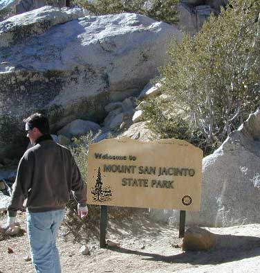
San Jacinto Peak, also known as Mount San Jacinto, is a 10,834 foot mountain peak in the San Jacinto Mountains, in Riverside County, California. Lying within Mount San Jacinto State Park it is the highest both in the range and the county, and serves as the southern border of the San Gorgonio Pass.

San Jacinto Map

OLD VERSION

To the east the peak towers over the city of Palm Springs (elevation 479′); to the west, it borders the mountain community of Idyllwild (elevation 5,413′). The steep escarpment of its north face, above Snow Creek, climbs over 10,000′ in 7 miles. This is one of the largest gains in elevation over such a small horizontal distance in the contiguous United States.

tree huggers

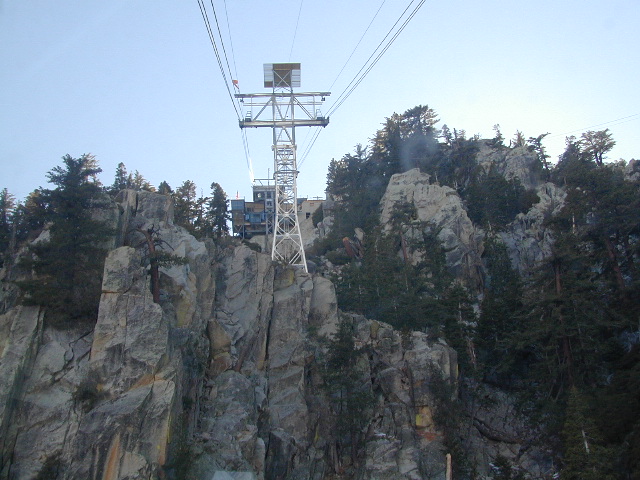
Tram Ride to the Top

Tram Ride to the Top

Take the Tram

San Jacinto Peak is easily accessible, as many trails penetrate the Santa Rosa and San Jacinto Mountains National Monument. One popular route starts with a ride on the Palm Springs Aerial Tramway from Valley Station at 2,643′ feet near Palm Springs up to Mountain Station at 8,516′. From there, one can easily climb the mountain face via trails.

Another route is to hike the Marion Mountain Trail near the mountain town of Idyllwild, off Highway 243. The Cactus to Clouds Trail involves an arduous climb of approximately 10,700′ feet from the desert floor in Palm Springs to the summit. This trail has no water sources until 8,500′, so early starts are advised to avoid the temperatures which often soar above 100°F.

San Jacinto Mountains National Monument
San Jacinto State Park
San Jacinto Wilderness

SanJacinto SP

see also –

San Bernardino National Forest Map 
San Bernardino Forest Atlas
San Gorgonio Wilderness Trail Map

Emigrant Wilderness Map

Emigrant Trail Maps

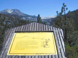
emigrantsign

Emigrant Wilderness Area
part of Stanislaus National Forest

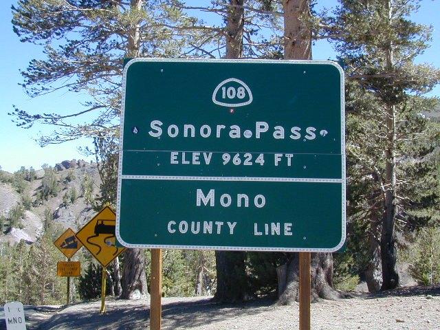
Highway 108 – Sonora Pass
Sierra Nevada Gold Country
North of Yosemite National Park

Emigrant Wilderness Map USDA

OLD VERSION

High Sierra with deep snow closes this region annually. This is usually the last Sierra Hwy Pass to OPEN for through-traffic in summer. It gets more snow than Yosemite. Check local rangers for all road conditions, fire info, trail access points before departing on a backcountry trip. Wilderness permits and campfire permits are always required!

Waterproof Plastic Paper. 1″ to mile; Usually only found at Ranger Stations – Hard to find maps. Perfect for a day hike reference or extended backpacking adventures. Printed on plastic in 2016. ISBN# 9781628114133


Emigrant Wilderness Trail Map

Topo Maps by Tom Harrison

Emigrant Wilderness Map

OLD VERSION

Tom Harrison Trail Map: Emigrant Wilderness Map Trail Map, Sonora Pass Map, Sierra Nevada; Kennedy Meadows, CA. Pinecrest Lake, Dodge Ridge, Relief Reservoir, Leavitt Lake, Leavitt Meadows, The Dardanelles, Eagle Meadows; Sonora River fishing, Dardanelle CA. Durable, waterproof plastic map; Folded. Map Scale: 63.4K; ISBN# 9780989457910

Wilderness Press Topographic Map


Emigrant Wilderness Map

see also –

Stanislaus National Forest Map
Stanislaus Forest Atlas
Yosemite High Country Map