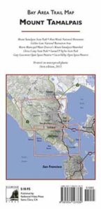
Mount Tam Trails Map
NatGeo Map Mt Tam & Point Reyes
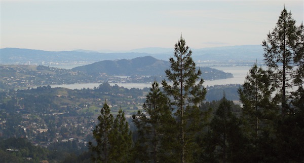
Tamalpais State Park Map #266
NatGeo Trails Illustrated Mount Tamalpais State Park Map #266. NatGeo Mount Tamalpais Map. Point Reyes Map, Mt Tam Topo Map. Pt Reyes Topographic Map. Golden Gate National Recreation Area, Tomales Bay, Muir Woods National Monument, San Francisco Bay Area Hiking Trails. Marin Hiking Trails Hiking Trails. GPS Compatible, Full UTM Grid. Waterproof ISBN# 9781566955768
Mount Tam Map NatGeo, Mt Tamalpais Topo Map
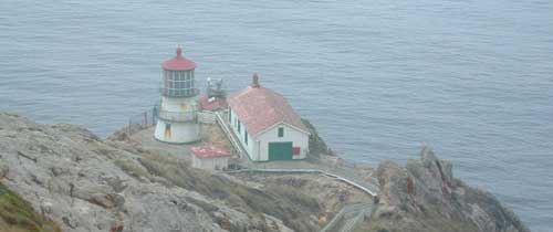
Point Reyes Lighthouse
Mount Tamalpais Trail Map
Tom Harrison

Tom Harrison Trail Map: Mount Tamalpais Trail Map, Mount Tamalpais State Park Map; Marin County Open Space, Marin Municipal Water District, San Francisco Hiking Maps, San Francisco Hikes, Backpacking Point Reyes. Camping Point Reyes Redwoods. Mount Tam Hiking, Golden Gate National Recreation Area; Durable, waterproof plastic map; Folded. Map Scale: 24K; ISBN# 9781877689741


nearby towns:
Bay Area Trail Map
Mount Tamapais
see also –
Point Reyes Trail Map by Tom Harrison
San Francisco Trail Maps
San Francisco Bay Area Maps
 Siskiyou Wilderness Map


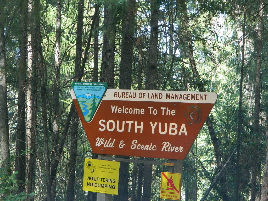
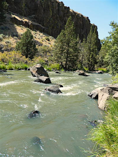
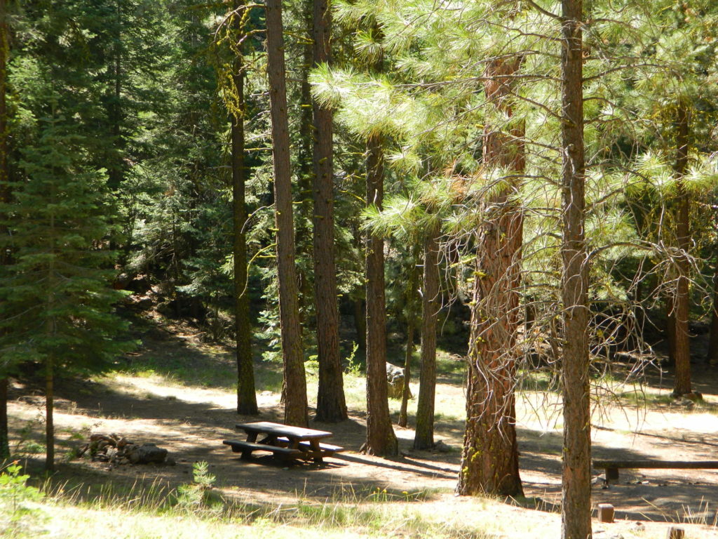
 Yuba fishing / Yuba River camping / Yuba fly fishing / Yuba campground