Bishop Pass Map

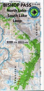
Bishop Pass Topo Map

Bishop Hiking Eastern Sierra

  • North Lake – 9500′ elev
  • Piute Pass – 11,423′
  • Lake Sabrina – 9132′
  • South Lake – 9755′

Bishop Pass Trail Map
Tom Harrison

Bishop, CA – located along US Hwy 395 is a hub for travelers and locals alike, in the high desert valley next to the Eastern Sierra range.

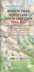
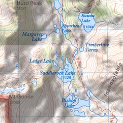
Tom Harrison Trail Map: Bishop Pass Maps, Backpacking Bishop CA; North Lake & South Lake Loop, Evolution Valley. PCT, John Muir Wilderness, LeConte Divide, Inyo National Forest, Inyo High Country, Sierra High Country; Sierra Nevada Passes; Hiking near Mount Whitney Backpacking Trip, california sierra camping; Durable, waterproof plastic map; Folded. Map Scale: 48K; ISBN# 9781877689680

avenza mapsdownload digital version of this map –
Bishop Pass Hiking Map

Bishop Pass Map

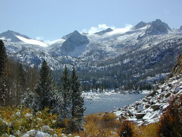
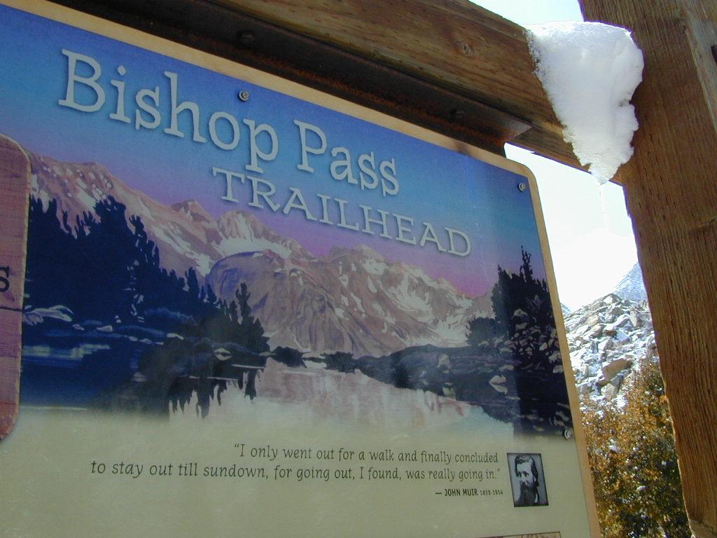
Bishop Pass @ 11,972′ elevation is a high mountain pass in the southern Sierra Nevada, California, on the border of the Inyo National Forest. John Muir Wilderness is located to the north and Kings Canyon National Park to the south. The Bishop Pass

Connecting the Bishop Creek valley with the John Muir Trail & Pacific Crest Trail. Bishop Pass is located west of Mount Agassiz, surrounded by multiple alpine lakes in the Dusy Basin and the Bishop Lake basin.
Bishop Pass Map

High Sierra backcountry access to –

Bishop Pass Map

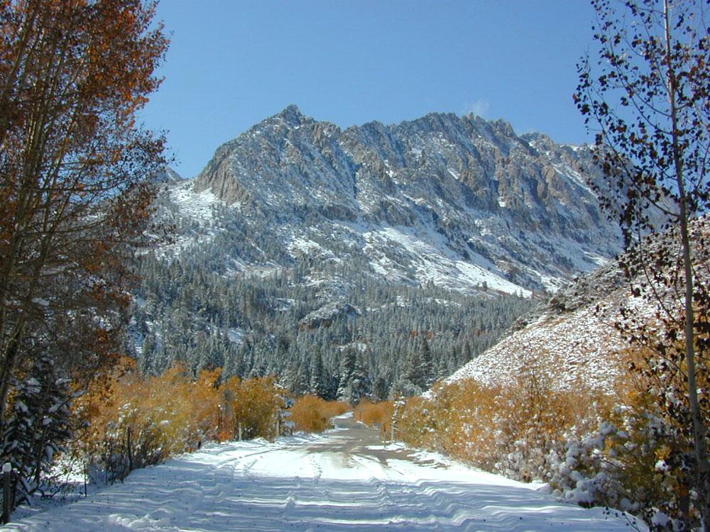
South Lake, above Bishop, California

see also –

Bishop Pass Map

previous edition

Bishop Pass Map

Piute Pass Hiking

Piute Pass & Piute Crags near North Lake
Bishop Pass Map

OLDER EDITION

Big Sur Books

California Central Coast:
Big Sur

Big Sur Books

Find Maps on Big Sur, California:

Big Sur Books

Big Sur Books

Books on the Big Sur Coast & Mountains

Backpacking Book

Big Sur Canyon Hikes

Kayak Big Sur Coast

Nepenthe Book

Biking Big Sur Coast

Day Hikes Big Sur

Big Sur Books

History of Big Sur

Cleveland National Forest Map

San Diego Mountains
Cleveland Forest Map

2010 Map Cleveland

NFS – USDA – U.S. Forest Service
Cleveland Forest Map / San Diego Mountains
Cleveland National Forest Map
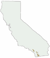
Cleveland National Forest

Mount Laguna, Sunrise Highway, Palomar Mountain, Julian, Cuyamaca, San Diego Mts, OC, Ortega Highway, Wildomar OHV, TemeculaCleveland National Forest Map

WATERPROOF MAP plastic & tear resistant. Ranger Map – NFS issued map. GPS: Longitude & Latitude; Rivers, Creeks, Peaks, Elevations, 4WD & every dirt BackRoad, Hot Springs, Equestrian Areas, all Campgrounds, Hiking Trails & BackPacking Trailheads. Areas include: Southern California, Orange County, Palomar Mountain, San Diego Backcountry, Julian, Descanso, Ramona, Rancho Cuyamaca, Ortega Hwy. 74, Tucker, Trabuco Canyon, San Mateo Canyon, Caspar, San Juan Capistrano Hot Springs, Mount Laguna, Lake Cuyamaca, Wildomar, Corral Canyon, Lake Morena. Also available en espanol. Quality USDA maps created for the National Forest Service. Size: 36″x 43″ overall / 4″x9″ folded; Printed on plastic map paper in 2006. ISBN# 9781593514983

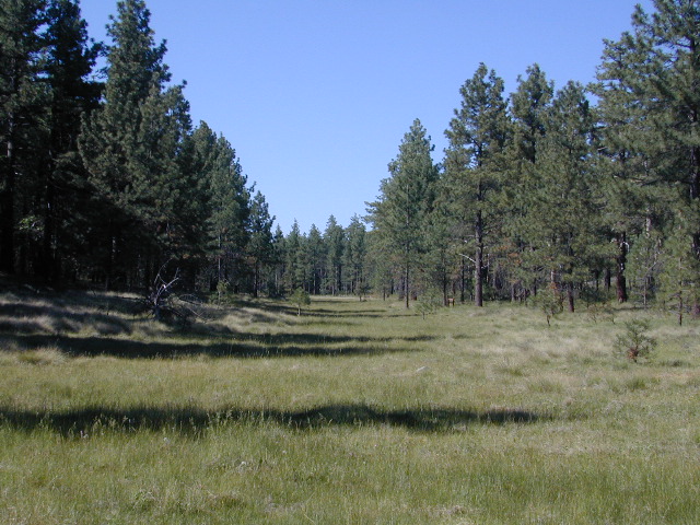
Laguna Meadows

Laguna Meadows

Cleveland National Forest Map

USDA cleveland NF

OLDER EDITION 2006

see also –
Anza Borrego Desert Map
Cleveland Forest Atlas
Pacific Crest Trail Map #1
Pine Creek / Hauser Wilderness Map
Rancho Cuyamaca Hiking Map
San Diego Backcountry Map

Cleveland National Forest Map

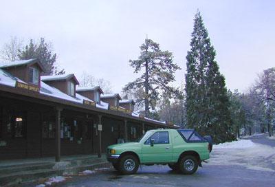
Snow @ Mount Laguna, CA

Southern California Forest / San Diego Mountains: Cleveland National Forest

San Diego Mountains

Fred Canyon off I-8

Cleveland National Forest Map: San Diego Hiking, Mount Laguna, Palomar Mountain, Julian, Cuyamaca, Ortega Hwy, Cleveland National Forest Map, Topo, Atlas, San, Diego, Mountains, San Diego Mountains, Laguna Mountains, Anza Borrego West

  • antiques
  • backpack
  • bike
  • boulders
  • camp
  • desert canyons
  • dirt bike routes
  • dirt roads
  • fish
  • forests
  • hang glide
  • hike
  • historical sights
  • horseback ride
  • hot springs
  • hunt
  • meadows
  • mines
  • mountain bike
  • observatory
  • off road routes
  • picnic
  • sightsee
  • stagecoach route
  • stargaze
  • train museum
  • wildflowers
  • wildlife
Oriflamme

Oriflamme Canyon, Mason Truck Trail

Crystal Basin Silver Fork Map

Crystal Basin Map
Crystal Basin & Silver Fork
of Eldorado NF
NatGeo Map # 806

Loon Lake, Central Sierra Nevada Maps

hikers mapTrails Illustrated Map from National Geographic. Crystal Basin / Silver Fork Map inside El Dorado National Forest map #806. 4×4 routes for the Rubicon Trail – all the way to Tahoe. Loon Lake, Union Valley Reservoir, Ice House Reservoir. Auburn State Recreation Area (Auburn SRA) and Carson – Emigrant Historic National Recreation Trail. Pony Express National Historic Recreation Trail.

Mountain bike trails, backpacking routes, equestrian and hiking trail mileage. High country map. Many rivers, roads and trails to explore. 2-sided map. Very detailed & colorful. Waterproof Plastic Map; Tear Resistant. GPS data. Scale = 1:63,360 ISBN#9781566952644

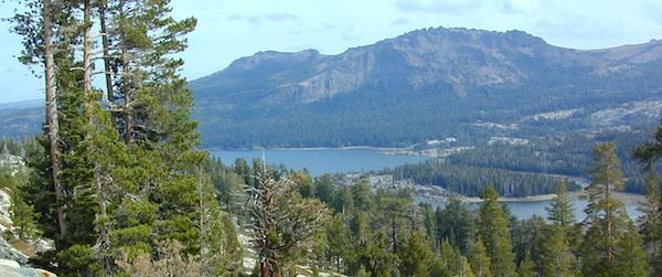
Silver Lake @ Carson Pass

Crystal Basin Silver Fork

The Crystal Basin spreads over 85,000 acres north of Highway 50 and west of Desolation Wilderness. Wonderful views of the Crystal Range extends north along the ridge from prominent Pyramid Peak (9963′ elev), Mount Price, Red Peak, and Silver Peak.

The Crystal Basin Recreation Area is a joint development between the Sacramento Municipal Utility District and the National Forest Service. SMUD operates a series of reservoirs and hydroelectric powerhouses which furnish energy to the Sacramento area.

Plasses

see also –

Carson Iceberg Wilderness Map
Desolation Wilderness Trail Map
Eldorado National Forest Map
Gold Country Maps