Ansel Adams Wilderness Books

Find Ansel Adams Wilderness Maps

"<yoastmark

Ansel Adams Wilderness Books

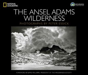
Nat Geo Book

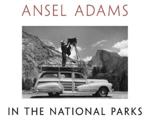
National Parks Book

American West

Ansel Adams Wilderness Books

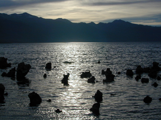
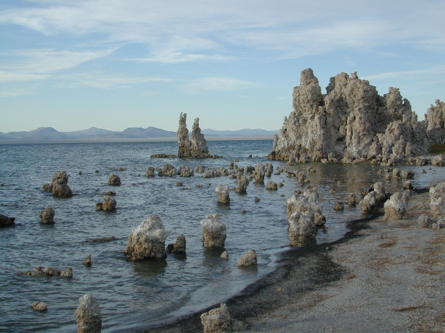
Mono Lake at Sunset

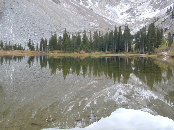
The Ansel Adams Wilderness is a wilderness area in the Sierra Nevada of California, United States. The wilderness spans 231,533 acres – much of which is located inside the Inyo and Sierra National Forests, and the remaining acres covers nearly all of Devils Postpile National Monument. Yosemite National Park lies to the north and northwest, while the John Muir Wilderness lies to the south.

The wilderness was established as part of the original Wilderness Act in 1964 as the Minarets Wilderness. The 109,500-acre Minarets Wilderness was created by enlarging and renaming the Mount Dana-Minarets Primitive Area. In 1984, after his death, the area was expanded and renamed in memory of Ansel Adams, well-known environmentalist and nature photographer who is famous for his black-and-white landscape photographs of the Sierra Nevada.

The Ansel Adams wilderness spans in elevation from 3,500 to 13,157 feet, forming the northern end of the High Sierra. The centerpiece of the Ansel Adams wilderness is the Ritter Range, which includes dark meta-volcanic glaciated mountains such as Mount Ritter, Banner Peak, and The Minarets.

Immediately to the east of the Ritter Range is the Middle Fork of the San Joaquin River, which contains Devils Postpile, a series of basaltic columns that were revealed and smoothed by glacier action. The Middle Fork originates from Thousand Island Lake, at the foot of Banner Peak, one of the largest backcountry lakes in the Sierra.

To the east of the Middle Fork canyon is the true Sierra Crest, which, at roughly 10,000 feet of elevation is lower than the Ritter Range. This relatively low region of the Crest allows winter storms through and cause large amounts of snowfall on Mammoth Mountain, which sits in the gap. The gap also allows migration of plants and animals across the Sierra Crest.

To the west of the Ritter Range lies the canyon of the North Fork of the San Joaquin, a relatively remote and less visited high-country area. The southern part of the wilderness contains the 3,000 feet deep canyon of the main San Joaquin River, which flows out of the Sierra Nevada to California’s Central Valley.
Ansel Adams Wilderness Books

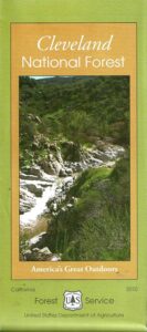
Cleveland National Forest Map

San Diego Mountains
Cleveland Forest Map

2010 Map Cleveland

NFS – USDA – U.S. Forest Service
Cleveland Forest Map / San Diego Mountains
Cleveland National Forest Map
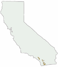
Cleveland National Forest

Mount Laguna, Sunrise Highway, Palomar Mountain, Julian, Cuyamaca, San Diego Mts, OC, Ortega Highway, Wildomar OHV, TemeculaCleveland National Forest Map

WATERPROOF MAP plastic & tear resistant. Ranger Map – NFS issued map. GPS: Longitude & Latitude; Rivers, Creeks, Peaks, Elevations, 4WD & every dirt BackRoad, Hot Springs, Equestrian Areas, all Campgrounds, Hiking Trails & BackPacking Trailheads. Areas include: Southern California, Orange County, Palomar Mountain, San Diego Backcountry, Julian, Descanso, Ramona, Rancho Cuyamaca, Ortega Hwy. 74, Tucker, Trabuco Canyon, San Mateo Canyon, Caspar, San Juan Capistrano Hot Springs, Mount Laguna, Lake Cuyamaca, Wildomar, Corral Canyon, Lake Morena. Also available en espanol. Quality USDA maps created for the National Forest Service. Size: 36″x 43″ overall / 4″x9″ folded; Printed on plastic map paper in 2006. ISBN# 9781593514983

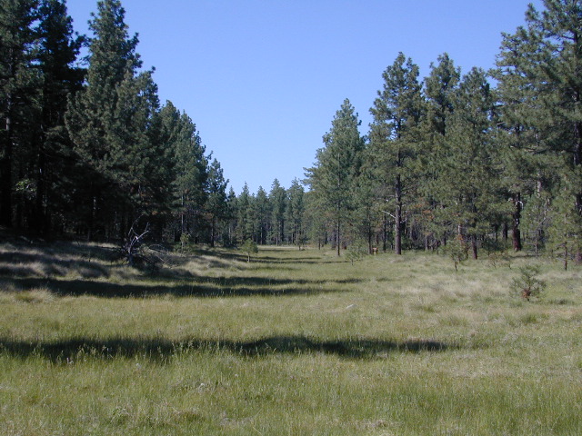
Laguna Meadows

Laguna Meadows

Cleveland National Forest Map

USDA cleveland NF

OLDER EDITION 2006

see also –
Anza Borrego Desert Map
Cleveland Forest Atlas
Pacific Crest Trail Map #1
Pine Creek / Hauser Wilderness Map
Rancho Cuyamaca Hiking Map
San Diego Backcountry Map

Cleveland National Forest Map

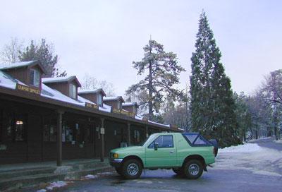
Snow @ Mount Laguna, CA

Southern California Forest / San Diego Mountains: Cleveland National Forest

San Diego Mountains

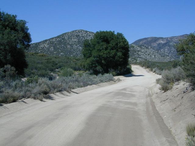
Fred Canyon off I-8

Cleveland National Forest Map: San Diego Hiking, Mount Laguna, Palomar Mountain, Julian, Cuyamaca, Ortega Hwy, Cleveland National Forest Map, Topo, Atlas, San, Diego, Mountains, San Diego Mountains, Laguna Mountains, Anza Borrego West

  • antiques
  • backpack
  • bike
  • boulders
  • camp
  • desert canyons
  • dirt bike routes
  • dirt roads
  • fish
  • forests
  • hang glide
  • hike
  • historical sights
  • horseback ride
  • hot springs
  • hunt
  • meadows
  • mines
  • mountain bike
  • observatory
  • off road routes
  • picnic
  • sightsee
  • stagecoach route
  • stargaze
  • train museum
  • wildflowers
  • wildlife
Oriflamme

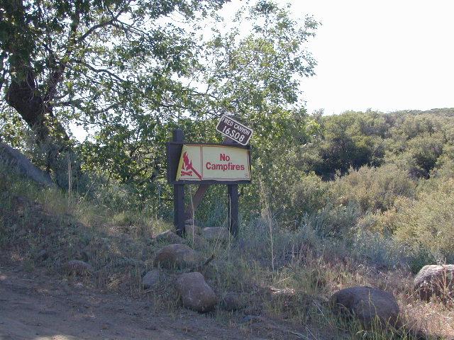
Oriflamme Canyon, Mason Truck Trail

Emigrant Wilderness Maps

Several map makers have waterproof topo maps covering the Emigrant Wilderness Area. Some have more than one wilderness per map, so know the MAP SCALE before you buy one, especially if you need it for an overnight backpacking adventure with super details.

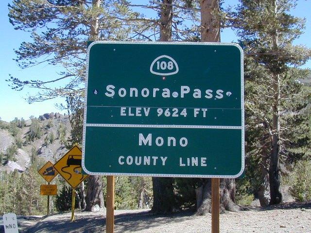
Day hikes into EMIGRANT WILDERNESS AREA from – Sonora Pass (Hwy 108) or Yosemite @ Cherry Lake (Hwy 120).

Emigrant Wilderness – Central Sierra Nevada California

Emigrant Wilderness Maps

Emigrant Wilderness Map USDA

Emigrant Wilderness, South of CA 108 – Sonora Pass
part of Stanislaus NF and north of Yosemite National Park

Emigrant Wilderness Maps

OLD VERSION

High Sierra with deep snows close this region annually. Check local rangers for all road conditions, fire info, trail access points before departing on a backcountry trip. Wilderness permits and campfire permits are always required!

Waterproof Plastic Paper. 1″ to mile; Usually only found at Ranger Stations – Hard to find maps. Perfect for a day hike reference or extended backpacking adventures. Printed on plastic in 2016. ISBN# 9781628114133

Emigrant Wilderness Maps

Emigrant Wilderness Trail Map
Tom Harrison

Tom Harrison Trail Map: Emigrant Wilderness Map Trail Map, Sonora Pass Map, Sierra Nevada; Kennedy Meadows, CA. Pinecrest Lake, Dodge Ridge, Relief Reservoir, Leavitt Lake, Leavitt Meadows, The Dardanelles, Eagle Meadows; Sonora River fishing, Dardanelle CA. Durable, waterproof plastic map; Folded. Map Scale: 63.4K; ISBN# 9780989457910

Emigrant Wilderness Maps

previous version

NatGeo Wilderness Areas: Carson Iceberg, Emigrant & Mokelumne

Emigrant Wilderness Maps

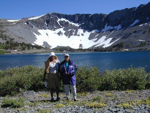
Sonora Pass exploring, in search of wildflowers (mid-JULY)

Wilderness Press Topo Map: Yosemite & Vicinity

Washington Hiking Books

Washington Hiking BooksPNW
The Pacific Northwest region covers both Washington and Oregon, which are directly north of California. Abundant coastlines, waterways, islands, with mountains with forests, rivers and waterfalls. Summer is the best time to camp in this state, as it rains most often in other months.

Books for Washington State: Hike, Bike, Fish, Kayak, Explore

Washington Hiking Books


Washington Hiking Books


Washington Hiking Books

see also – 

Columbia River Map
PCT Map 9 – Southern Washington
PCT Map 10 – Northern Washington