Big Sur Maps

Big Sur Coast, California

Several hiking maps exist for this epic Central Coast region of California
Los Padres NF, Ventana, Gorda, Lucia, Limekiln State Park, Big Sur, CA

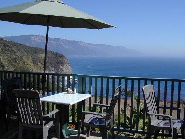
Lucia Patio

Patio @ Lucia, South Big Sur Coast (burned down recently)

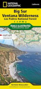
NatGeo Big Sur Map #814

Big Sur Coast Map

National Geographic Trails Illustrated Topo Map for Big Sur NatGeo
Central Coast Maps, Big Sur Coast, California Big Sur

Big Sur, California Central Coast Map w/ Ventana Wilderness and Los Padres National Forest. Trails Illustrated Map #814 by NatGeo. Silver Peak Wilderness, California Coastal State Parks, Monterey County Parks, PInnacles National Monument. All trails, trailheads, campgrounds, rivers, creeks, forests and parks between Monterey and San Simeon.
Big Sur Ventana

OLD EDITION

Andrew Molera State Park, Pfeiffer Big Sur State Park, Big Sur National Wild River, Mill Creek Redwood Preserve, Palo Corona Regional Park, Glendeven Ranch, Joshua Creek Canyon Ecological Preserve, Garrata State Park, Point Lobos Ranch, Point Lobos State Reserve, Carmel River State Beach, Asilomar State Beach, Fort Ord Dunes State Park, Toro Regional Park, Garland Ranch Regional Park, Cachagua Community Park, Miller Canyon, Bottchers Gap Campground, Tassajara, Arroyo Seco, Gabilan Range, Salinas River, Sierra de Salinas, Julia Pfeiffer Burns State Park, Monterey Bay National Marine Sanctuary, Limekiln State Park, Alder Creek Campground, John Little State Reserve, Slate Hot Springs, Santa Lucia Range, Cone Peak Gradient, Sand Dollar Beach, Jade Cove Big Sur Coast, Fort Hunter Liggett Military Base, San Antonio Pedira, Nacimiento Road, Nacimiento-Fergusson, Salmon Creek Road, Silver Peak Wilderness, Los Burros Road, Willow Creek, Plaskett Creek Campground, Coastal Highway 1 and US Route 101 on Central Coast California.

Printed on waterproof plastic in 2012. ISBN# 9781566955782

avenza mapsget a digital version of this map
NatGeo Map 814 – Big Sur Map
Redwoods Inland

This Central California Coastal region covers the north end of Los Padres National Forest, Ventana and Silver Peak Wilderness, Pinnacles National Monument, much of Fort Hunter Liggett, plus nearby State Parks – Andrew Molera State Park, Garrapata State Park, Julia Pfeiffer Burns State Park, Pfeiffer Big Sur State Park, Point Sur State Historic Park, Limekiln State Park, Point Lobos State Reserve & California Sea Otter Game Refuge.

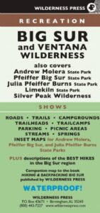
Wilderness Press Map Big Sur

Topo Map

This recreation map for the California Central Coast includes all of the Big Sur coastline with Ventana & Silver Peak Wilderness.

avenzabar

digital maps for download

USFS Topo Map – Big Sur California
USFS Topo Map – Los Padres NF, Big Sur Visitor Map
USFS Topo Map – Tassajara Hot Springs
Redwood Hikes Press Map – Andrew Molera State Park
USGS Topo Map – Big Sur, CA (free)
USGS Topo Map – Cone Peak (free)
USGS Topo Map – Ventana Cones (free)
USGS Topo Map – Monterey, CA (free)
USGS Topo Map – Carmel Valley, CA (free)
USGS Topo Map – Partington Ridge (free)

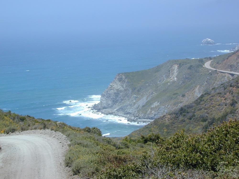
big sur dirt roads

beaches, forest, state parks & wilderness areas along this coastline:
Andrew Molera State Park
Julia Pfeiffer Burns State Park
Limekiln State Park
Los Padres National Forest
Pfeiffer Beach
Pfeiffer Big Sur State Park
Sand Dollar Beach
Silver Peak Wilderness
Ventana Wilderness

nearby towns:

back roads

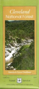
Cleveland National Forest Map

San Diego Mountains
Cleveland Forest Map

2010 Map Cleveland

NFS – USDA – U.S. Forest Service
Cleveland Forest Map / San Diego Mountains
Cleveland National Forest Map
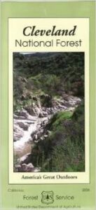
Cleveland National Forest

Mount Laguna, Sunrise Highway, Palomar Mountain, Julian, Cuyamaca, San Diego Mts, OC, Ortega Highway, Wildomar OHV, TemeculaCleveland National Forest Map

WATERPROOF MAP plastic & tear resistant. Ranger Map – NFS issued map. GPS: Longitude & Latitude; Rivers, Creeks, Peaks, Elevations, 4WD & every dirt BackRoad, Hot Springs, Equestrian Areas, all Campgrounds, Hiking Trails & BackPacking Trailheads. Areas include: Southern California, Orange County, Palomar Mountain, San Diego Backcountry, Julian, Descanso, Ramona, Rancho Cuyamaca, Ortega Hwy. 74, Tucker, Trabuco Canyon, San Mateo Canyon, Caspar, San Juan Capistrano Hot Springs, Mount Laguna, Lake Cuyamaca, Wildomar, Corral Canyon, Lake Morena. Also available en espanol. Quality USDA maps created for the National Forest Service. Size: 36″x 43″ overall / 4″x9″ folded; Printed on plastic map paper in 2006. ISBN# 9781593514983

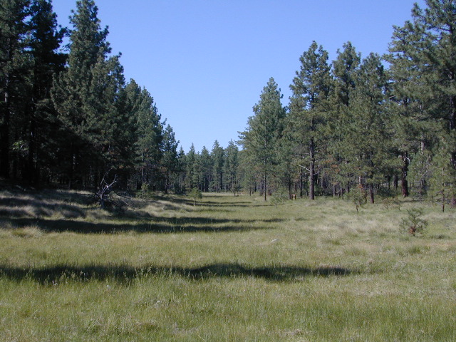
Laguna Meadows

Laguna Meadows

Cleveland National Forest Map

USDA cleveland NF

OLDER EDITION 2006

see also –
Anza Borrego Desert Map
Cleveland Forest Atlas
Pacific Crest Trail Map #1
Pine Creek / Hauser Wilderness Map
Rancho Cuyamaca Hiking Map
San Diego Backcountry Map

Cleveland National Forest Map

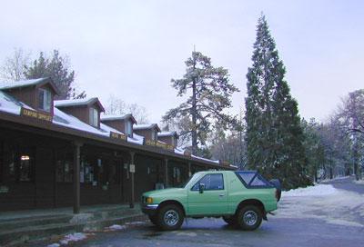
Snow @ Mount Laguna, CA

Southern California Forest / San Diego Mountains: Cleveland National Forest

San Diego Mountains

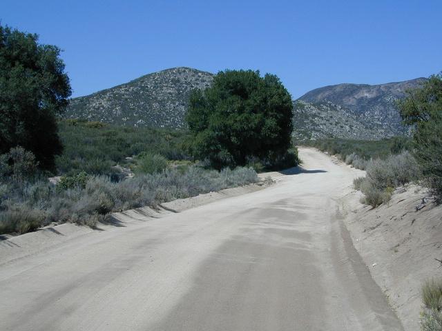
Fred Canyon off I-8

Cleveland National Forest Map: San Diego Hiking, Mount Laguna, Palomar Mountain, Julian, Cuyamaca, Ortega Hwy, Cleveland National Forest Map, Topo, Atlas, San, Diego, Mountains, San Diego Mountains, Laguna Mountains, Anza Borrego West

  • antiques
  • backpack
  • bike
  • boulders
  • camp
  • desert canyons
  • dirt bike routes
  • dirt roads
  • fish
  • forests
  • hang glide
  • hike
  • historical sights
  • horseback ride
  • hot springs
  • hunt
  • meadows
  • mines
  • mountain bike
  • observatory
  • off road routes
  • picnic
  • sightsee
  • stagecoach route
  • stargaze
  • train museum
  • wildflowers
  • wildlife
Oriflamme

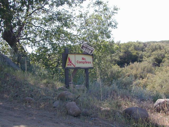
Oriflamme Canyon, Mason Truck Trail

Wawona Map

NatGeo Map #306
Yosemite SW – Wawona & Yosemite Valley

Yosemite Southwest Map

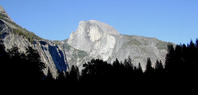
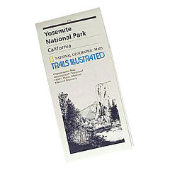
Wawona Map – CA Highway 41: NatGeo Trails Illustrated Yosemite SW, Wawona Map #306. Yosemite Valley, Half Dome, Vernal Fall, Glacier Point, Tamarack Flat, Mariposa Grove, Chilnualna Falls, White Wolf, Merced River, Bridalveil Fall, Chowchilla Mountains, El Capitan, Illilouette Falls, Lower Yosemite Fall, Nevada Fall, Ribbon Fall, Sierra National Forest, Silver Strand Falls, Stanislaus National Forest, Upper Yosemite Falls. Yosemite South Entrance @ California SR 41

1:40,000 scale; GPS Compatible, Full UTM Grid. 2 sided. Waterproof map. ISBN# 9781566953627

Yosemite National Park


Wawona Map

Wawona Map

Valley Oaks in Yosemite NP

Wawona Map

OLDER EDITION

nearby destinations –hikers map

see also –
All NatGeo Yosemite Maps

Bass Lake Topo Map

Bass Lake Topo Map

Bryce Canyon Map

Bryce Canyon Map

Summer monsoons thunderstorms are common between July and September.

Bryce Canyon National Park Map

Bryce Canyon MapBryce Cyn NP

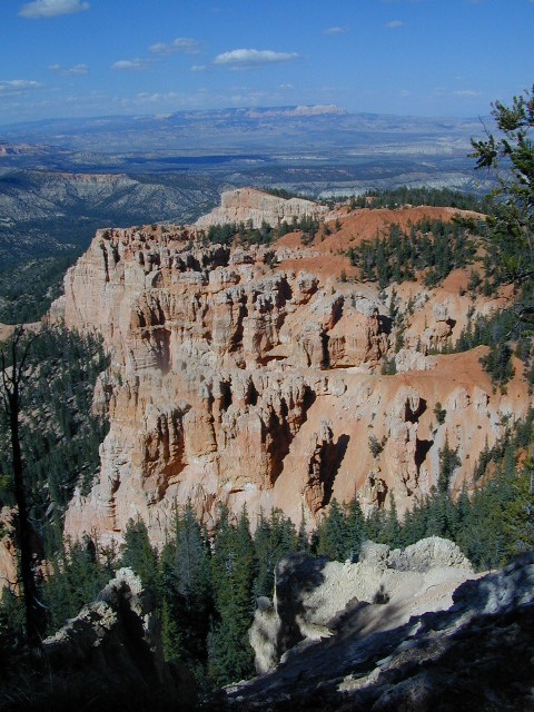
Super scenic red topped highways of Utah pass through this spectacular park. A high elevation (8000′ elev) forest w/ farmlands and small towns below.

Most visitors see this National Park in route to another, because they are just driving through (and not wanting to hike much). Lots of viewpoints and parking lots, picnic tables and steep switchback hiking trails.

UTAH Bryce Maps

camp mapsCamping here requires advanced reservations w/ the National Park Service – and a few more blankets. Chilly temperatures and tall pines on this popular mountain rim.
Bryce Canyon National Park

This park is open 24 hours per day throughout the year.

Snow closes park roads – there may be temporary road closures when winter snow storms hit. Roads will stay closed until plowing is completed and conditions are safe for visitor traffic. Road maintenance may require brief closures of individual areas at other times. Landslides close hiking trails and dirt back roads nearby.

In addition, the gorgeous Visitors Center is well worth a stop. Many posters, books and maps for sale, as well  as the typical tourist sweatshirts.

HIGH ELEVATION, Utah:

This National Park is a lot higher in altitude that most of the other National Parks in southern Utah. Many folks forget this fact and forget to bring their jackets. You’ll want to bring a decent winter coat for overnight visits, cuz low temperatures often dip into the 30’s even in summer months.

Bryce National Park Map

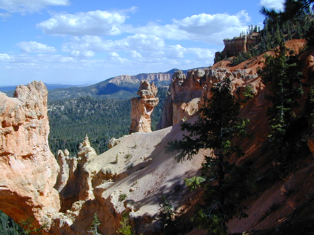
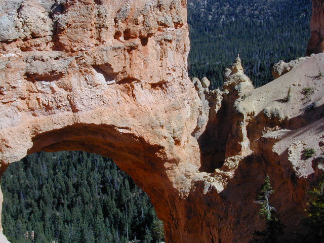
Natural Arch in Bryce Canyon UT

4x4 maps

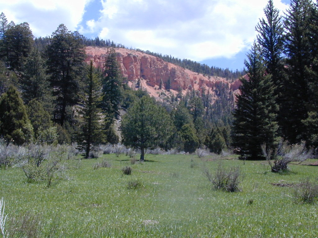
Proctor Canyon (Route 109) is an awesome back road that leads to Tropic Reservoir, situated on the west side of Bryce National Park. The easy-to-miss, dirt road turn off is located on the main Highway (89) in between rural residential properties. Although, the neighboring farmers and ranchers do not like us popularizing this route (since 2002). This is a nice option for off roaders, when traveling from Zion to Bryce. 4WD may be needed, as it is a long and shady dirt road route.

proctor cyn mdws

Proctor Canyon (the back way to Bryce) a long dirt road, what else? Click to see our adventure w/ a fallen tree!

camp mapWe also must mention that the east side of Bryce, at a much lower elevation, is pinyon pine forests and badlands managed by the BLM. This remote area is perfect for mountain biking, free primitive camping and finding slot canyons to hike. Boondocking heaven!