Shaver Lake Map

Shaver Lake
Sierra NF NatGeo Map #810

Shaver Lake is located in the Central Sierra, on the west side of the range, way up above Fresno, CA. Numerous alpine lakes and wilderness trailheads can be accessed via Highway 168 and the side route of Dinkey Creek Road. They even have a Sequoia Grove up here!

Shaver Lake Map, Huntington Lake, Sierra National Forest maps from National Geographic. 4×4 routes around the central Sierra Nevada. Dinkey Lakes Wilderness, Kaiser Wilderness, Rancheria Falls, Black Point, Lewis Creek Tamarack Creek, Red Mountain, Red Lake, Sierra Vista Scenic Byway, Sierra Heritage Scenic Byway. Hiking, mountain biking, horse back & OHV trails. Lake trails, wilderness trail, loop trail, lake campgrounds. Two sides, waterproof & tear resistant. National Geographic Map #810; Scale 1:63,360 / 1 inch = 1 mile. ISBN# 9781566952422

Shaver Lake Map

Shaver lake map

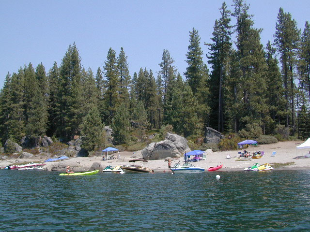
Shaver Beaches

Shaver Lake Map

see also –
Dinkey Lakes Maps
Kaiser Wilderness Map
Mono Divide Trail Map
Sierra National Forest Maps
Sierra Forest Topo Atlas
Shaver Lake Map

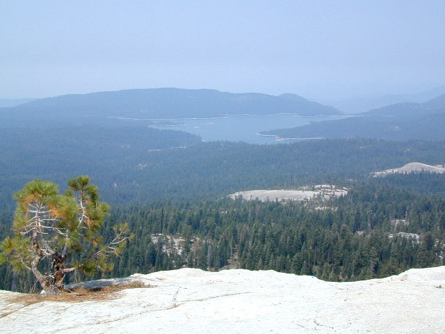
Bald Mountain Views

Wildfire has recently ravaged about half of this National Forest, from Shaver Lake to Mammoth Pool Reservoir; Kaiser Wilderness, San Joaquin River, Huntington Lake, all the way out to Lake Edison. Many areas could be closed to logging and fire cleanup. Check with USFS for specifics.
Creek Fire 2020

nearby locations –4x4 maps

Desolation Maps

Desolation Wilderness Maps
Westside of Lake Tahoe

High Sierra Granite, Lakes Sierra Nevada California

Several maps and books cover this Sierra Wilderness Area located right next to Lake Tahoe, the premier alpine lake destinations on the West Coast. Granite Chief Wilderness and Desolation Wilderness featured on the same map from NatGeo.

Desolation Maps

Desolation Maps

Desolation Wilderness USDA Map

Desolation Map / Desolation Wilderness / Hikes Tahoe

Backpacking & Hiking Trail Map for Desolation Wilderness (Part of El Dorado NF) Waterproof Plastic Paper. Perfect for a day hike reference or extended backpacking adventures. Map Scale = 2″ to mile; ISBN# 9781593514402

Desolation Maps

Tom Harrison & Wilderness Press
publish Desolation Maps too

Desolation Maps

Desolation Wilderness Trail Map
Tom Harrison MapsDesolation Maps

Desolation Wilderness Map Trail Map, Tahoe Lake Camping. Lake Tahoe, CA; Tahoe Westside, Loon Lake camping, Lake Aloha, Emerald Bay, Fallen Leaf Lake, DL Bliss State Park, Echo Lake, Velma Lake, Wrights Lake, Rubicon River, Rubicon 4×4 Trail, Rockbound Valley, Tahoe Rim Trail hiking PCT Pacific Crest Trail; Sierra Nevada High Country Tahoe hiking; Durable, waterproof plastic map; Folded. Map Scale: 42.24K; ISBN# 9781877689611

Desolation Maps

see also –
Lake Tahoe Basin Maps
Tahoe Rim Trail Map
Tahoe Basin Topo Atlas

Desolation Maps

Desolation Books –

Trail Tools Desolation Maps (1996) by Dennis O’Neill

Eastern Sierra Books

Eastern Sierra Books

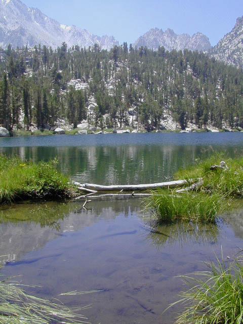
Flower Lake, Eastern Sierra Nevada Mountains

Eastern Sierra Books
Mount Whitney, Bishop Hikes, Rock Creek, Mammoth Lakes, June Lake & Mono Lake

Eastern Sierra Books

Eastern Sierra Books

Eastern Sierra Books

Eastern Sierra Books

The Eastern Sierra is a region in California comprising the eastern side of the Sierra Nevada, which includes Mono and Inyo Counties. The main thoroughfare is US Highway 395, which passes through Bridgeport, Lee Vining, Bishop, Big Pine, Independence, Lone Pine, and Olancha, with Bishop being the largest city in the area. It is sparsely populated but well known for its scenery; major points of interest include Mono Lake, Bodie, Mammoth Lakes, Manzanar, and parts of Yosemite National Park and Death Valley National Park.

Mountain Peaks above 14,000 feet elevation: Mount Whitney, Williamson, North Palisade, Sill, Russell, Split, Langley, Tyndall, Muir, Middle Palisade.

Wilderness Areas: Ansel Adams, Bright Star, Chimney Peak, Domeland, Emigrant, Golden Trout, Hoover, John Muir, Mount Rose, Owens Peak, Owens River Headwaters, Sacatar Trail, Sequoia-Kings Canyon, Yosemite

Eastern Sierra Books

High Sierra Lakes – Day Hikes

Eastern Sierra Maps:

hiker

Eastern Sierra Destinations:

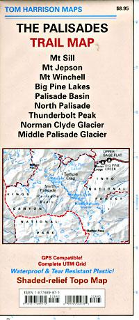
Palisades Trail Map

Palisades Trail Map
by Tom Harrison Maps

Eastern Sierra / Palisade Glacier / Norman Clyde Glacier

Tom Harrison Map: The Palisades Trail Map, Bishop Pass Area, Backpacking High Sierra; Areas include: Mount Sill, Mount Jepson, Mount Winchell, Big Pine Lakes, Palisades Basin, North Palisade, Thunderbolt Peak, Norman Clyde Glacier, Middle Palisade Glacier, Inyo National Forest, Inyo High Country, Sierra High Country; Hiking Maps Backpacking Trip, California Sierra Camping.

Palisades Trail Map

OLDER EDITION

Durable, Shaded-relief topographic map printed on waterproof plastic; GPS Compatible – Complete UTM Grid. Folded. Map Scale: 31.7K; ISBN# 9781877689970

The Palisades Trail Map covers the Big Creek area of the Eastern Sierra on the boundary between Kings Canyon National Park and Inyo National Forest. Map includes the Palisades and Norman Clyde Glaciers, Bishop and Mather Pass, and the Big Pine Lakes.

  • Big Pine Lakes
  • Mount Sill
  • Mount Jepson
  • Mount Winchell
  • North Palisade
  • Norman Clyde Glacier
  • Mid Palisade Glacier
  • Thunderbolt Peak

avenza mapsdownload digital version of this map –
The Palisades Map

Palisades Trail Map

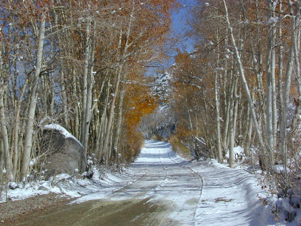
Autumn Colors meet SNOW in early October

nearby towns:
Big Pine, CA
Bishop, CA

The Palisade Glacier is a glacier located on the northeast side of the Palisades within the John Muir Wilderness. The glacier descends from the flanks of four mountain peaks over 14,000′ in elevation of which North Palisade 14,242′ is third highest peak in the Sierra Nevada Range.

The cirque containing the Palisade Glacier has a history of thousands of years of glaciation. The modern glacier attained its last maximum extent during the Little Ice Age, between 250 and 170 years ago – a period also known as the Matthes glaciation in the Sierra Nevada.

The glacier is under a mile long and half mile wide. It is located between 13,400 and 12,000; elevation and moves at a rate of 20 feet per year, although it is also retreating. Palisade Glacier is one of the few glaciers in California that terminates in a proglacial lake dammed by its former moraine and the lake is turquoise colored from the glacial powder suspended in the water. The Big Pine Lakes below the glacier are also the same color.

see also –

Inyo National Forest Map
Inyo Forest Topo Atlas
Bishop Pass Map
Mount Whiney Maps