Jawbone Canyon OHV Map

Jawbone Canyon Map
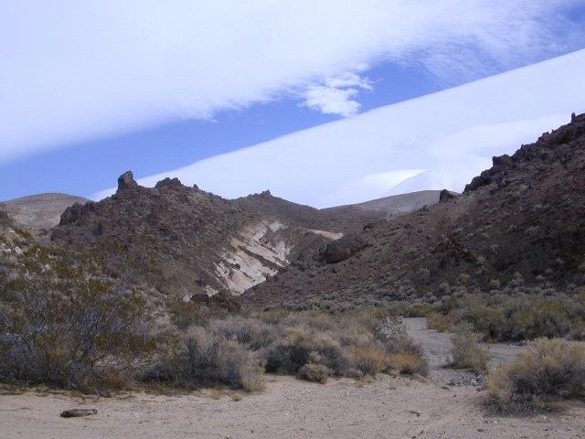
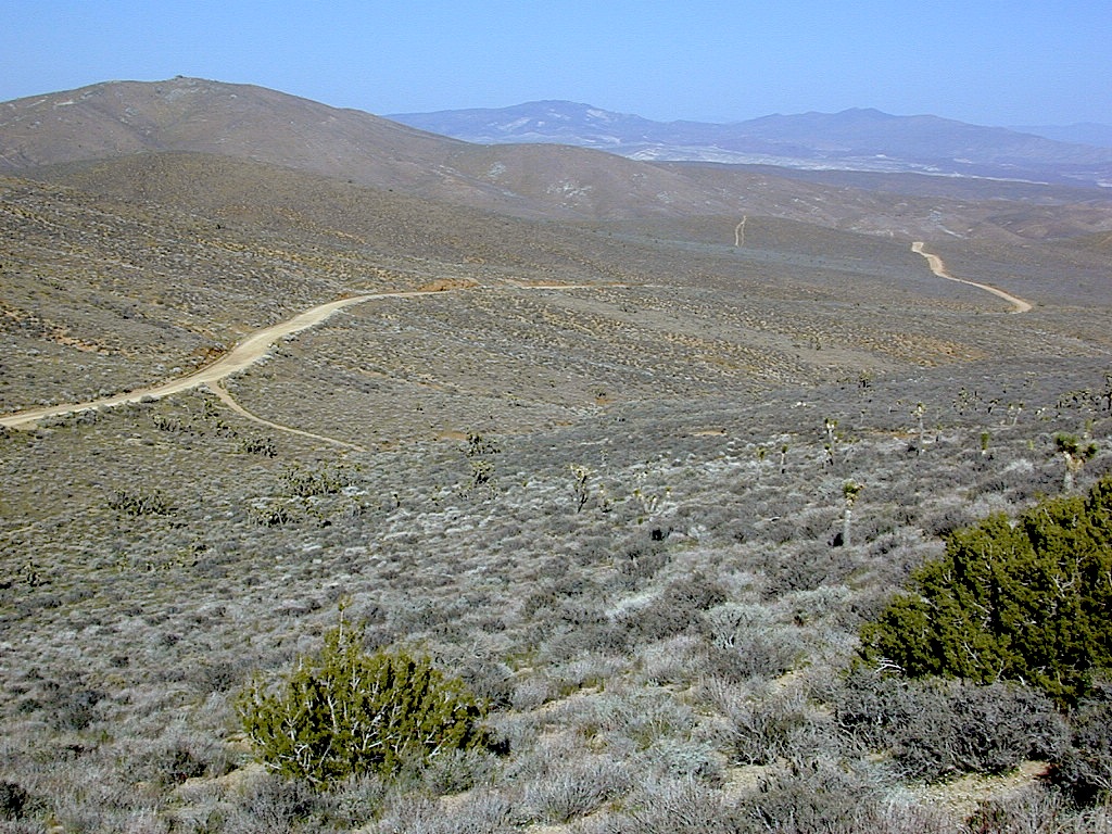
Jawbone Canyon is North Mojave Desert,
US Hwy 395 @ Hwy 14
Jawbone Canyon Map

12th edition. jawbone.org

Jawbone Canyon Map

New features on map include – restroom and kiosk locations, updated GPS coordinates, updated trail routes and revised points of interest.

Off Road Map: Jawbone Canyon / Kelso Valley / Randsburg Ghost Town

Jawbone Canyon OHV North Mojave Desert Map; Topo features, Waterways, Trails & Roads. Motorized & no-motorized trails. Eastern Kern County High Desert. Spangler Hills OHV, Trona Pinnacles National Monument, Randsburg OHV, Red Mountain, Johannesburg, Red Rock Canyon State Park, Last Chance Canyon, El Paso Mountain Wilderness, Desert Tortoise Preserve, Kiavah Wilderness, Dove Springs OHV, Bright Star Wilderness, Tehachapi Loop, Walker Basin, California City, BLM Camping Mojave California Desert Trails, Southern Sierra OHV.  Map by Friends of Jawbone w/ California Trail Users Coalition

SoCal Off-Road, OHV Parks, Dove Springs, Jawbone Canyon, Dirt Bike Maps, offroad, North Mojave Desert, Trona Road


avenza mapsget a digital version of this map
CTUC Jawbone Canyon OHV Map

driftwood

Jawbone Canyon Map

Camping Last Chance Canyon

Jawbone Canyon Map

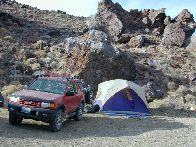
California Mojave Desert OHV Camping:

Do the off-roader RVs really roast a turkey in the ground at Jawbone Canyon?

Death Valley National Park is a land to be visited, during winter months (NOV-APRIL)

Randsburg – Living Ghost Town, off US Highway 395
Jawbone Canyon Map

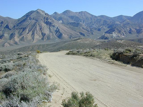
Jawbone Canyon leads up to Kelso Valley & Bright Star Wilderness, eventually up to Lake Isabella near Kern River, Southern Sierra California

see also –

Inyo National Forest Map
Inyo Forest Topo Atlas
Sequoia National Forest Map
Sequoia Forest Atlas
Southern Sierra Map

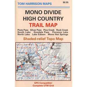
Mono Divide High Country Map

Mono Divide Trail Map

Pine Creek Canyon, N of Bishop, CA


Mono Divide Map
Tom Harrison Trail Maps

Mono Divide High Country, June Lake

Mono Divide High Country, Mono Backpacking Map, High Sierra, Alpine & Eastern Sierra Camping Maps; NOTE: this area is NOT @ Mono Lake

This regional map of the high country Sierra Nevada includes E of Fresno (Hwy 168) Mono Hot Springs, San Joaquin River headwaters, Edison Lake, Florence Lake, parts of Kaiser Pass, Bishop Pass areas of Sabrina Lake, South Lake, & even Rock Creek Camping. High Sierra Trails by Tom Harrison, Mono Divide High Country, Sierra High Country Hikes, Backpacking Sierra Nevada, Mammoth Hiking Trails, Sierra Nevada Topo, Waterproof, Topographic Maps California.
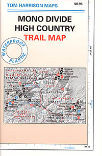
Durable, waterproof plastic map; Folded. Map Scale: 63K; ISBN# 9781877689468

avenza mapsdownload digital version of this map –
Mono Divide High Country Map

Mono Divide Trail Map

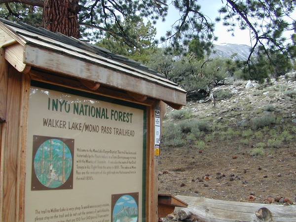
Mono Pass Trailhead @ Walker Lake

Mono Divide Trail Map

Mono Divide Trail Map

OLD VERSION

Mono Divide Trail Map

REAL OLD ONE

see also –
Mammoth Highcountry Map by Tom Harrison
Mammoth Lakes Mono Divide Map NatGeo
Mono Lake Map

John Muir Trail Maps

Mono Divide Trail Map

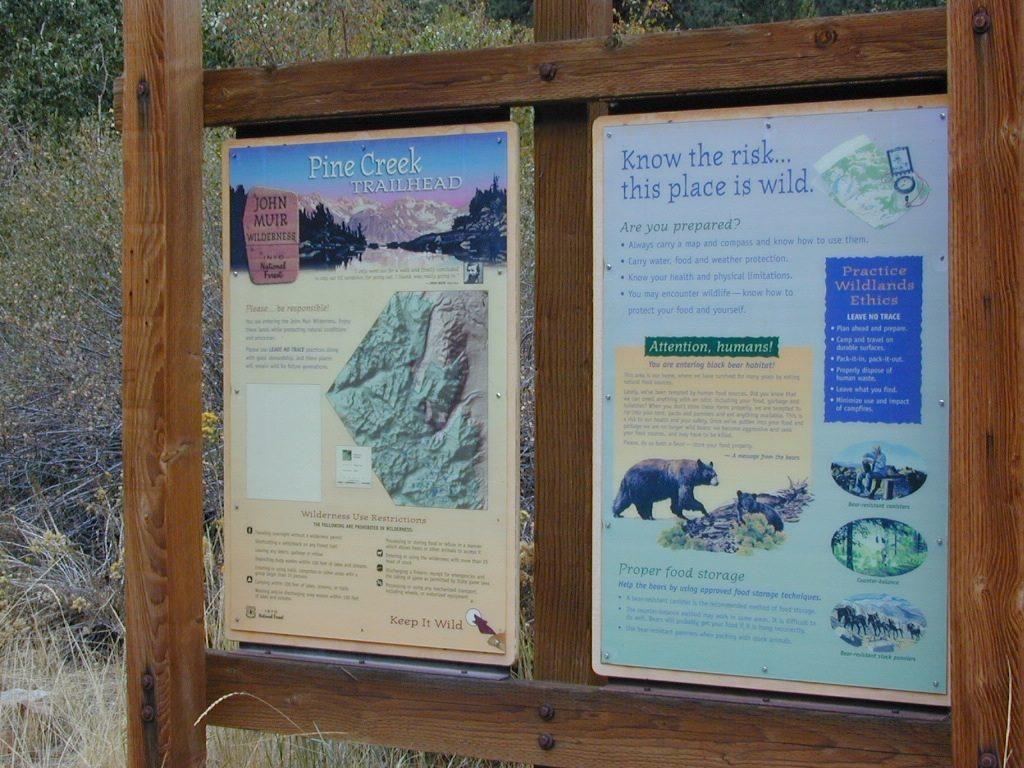
Pine Creek Trailhead

Baja Map Mexico

Detailed Map of Baja Mexico
Baja California MX

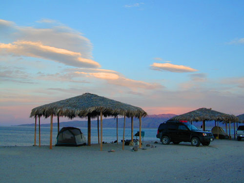
Camping Gonzaga Bay

Camping Gonzaga Bay

2021 – New MAP for Baja!!!

Benchmark Baja California
Road & Recreation Atlas

Baja Map Mexico

Release date MAY 2021 – announcing a brand new atlas for Baja California, created by none-other than Benchmark Maps. 

Baja Map Mexico

National Geographic has Adventure Maps for Baja California

full color, 2 sided, waterproof, tear resistant, topographic maps

NatGeo Baja Map NORTH
(Baja Norte)

This travel map covers from San Diego down to Bay of LA. Norte map covers the US/Mexico border from Tijuana to Mexicali, including border crossings, as well as Ensenada & Tecate. Inset maps give extensive detail to these areas: The southern side shows Valle de los Cirios, Bahia de los Angeles, Native Rock Paintings of the Sierra de San Francisco and Whale Sanctuary of El Vizcaino.

Baja Map Mexico

OLDER VERSION

hiking

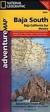
NatGeo Baja Map SOUTH
(Baja Sur)

The sparsely populated southern half of the peninsula has some of the Gulf of California Islands. The southern side covers the state capital La Paz, Cabo San Lucas, San Jose del Cabo, and Todos Santos. Inset maps give extensive detail to some of these popular areas.

Baja Map Mexico

OLDER VERSION

hiking

Baja Map Mexico

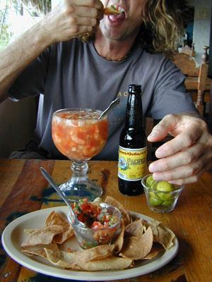
Dining Out in Baja

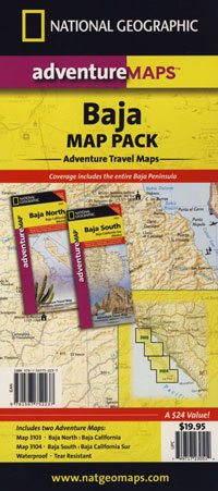
National Geographic Adventure Map Pack
Baja California 2 Map Set

Baja Map Mexico

OLDER EDITION

Baja Map Mexico

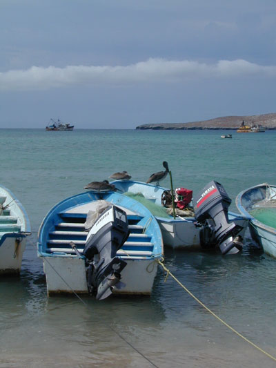
La Paz Coast Baja – Sea of Cortez

see also – 

Baja Almanac
Baja California Books

Grand Canyon National Park Map

Grand Canyon Maps

Grand Canyon Maps


Grand Canyon Maps

The Colorado River carves out the Grand Canyon, the largest National Park in the nation. 2019 marked the park’s 100th birthday!NPS

Grand Canyon Maps

The large river flows south from the Rocky Mountains of Colorado, down through the red rock deserts of the Southwestern US; separating Arizona from California, down to Baja California and the Sea of Cortez

North Rim of Grand Cyn = Utah
(8000′ elevation) conifer forests

South Rim of Grand Cyn = Arizona
(7000′ elevation) pinyon forests

Grand Canyon Maps

digital maps for download

driftwood


Grand Canyon Maps

Arizona Camping Maps

Utah Maps & Utah Books

Grand Canyon Maps