Mokelumne Wilderness Maps

Mokelumne Maps

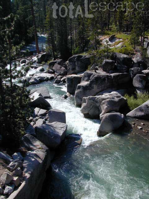
Mokelumne sits in between Carson Pass (Hwy 88) and the Ebbetts Pass (Hwy 4) – a vast Sierra mountainous area, south of Lake Tahoe. With high elevation passes that are usually closed more than half the year due to deep snow, this area becomes summer vacation haven for outdoor seekers. Mokelumne Wilderness Maps can show you the details for picnics, day hikes, trailheads, backpacking routes, horse packing trail camps, alpine lakes, reservoirs and the Mokelumne River.

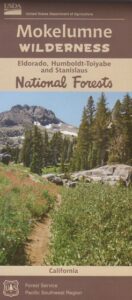
Mokelumne Map USDA

mokelumne map USDA

Mokelumne Wilderness is located in the Central Sierra Nevada mountains, above the Gold Country foothills, in between Hwy 88, 89 and 4; due south of Lake Tahoe. Fish, mountain bike, kayak, camp, backpack, horseback. It is all out here in gorgeous-ville. Lakes and peaks, rivers and creeks. All of this beauty and adventure waiting for you, but only accessible half the year (or less) – due to snow. Certain areas are designated Hiking Mapfor winter recreation, cross country skiing and snowmobiling.

Mokelumne is bordered by 3 National Forests, in the middle of the Sierra Nevada mountain range: Stanislaus NF, El Dorado NF & Toiyabe NF.
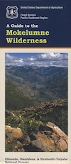
 

Mokelumne Map

PREVIOUS EDITION MAP

Hiking Topo Map
Mokelumne Wilderness Map
#807 NatGeo

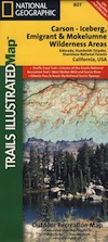
National Geographic produces high quality topo maps with Trails Illustrated. High elevation, outdoor recreation highlights, trailhead parking, all roads, all trails, all campgrounds, peaks, lakes. GPS info. Full color, 2 sided map. Map 807
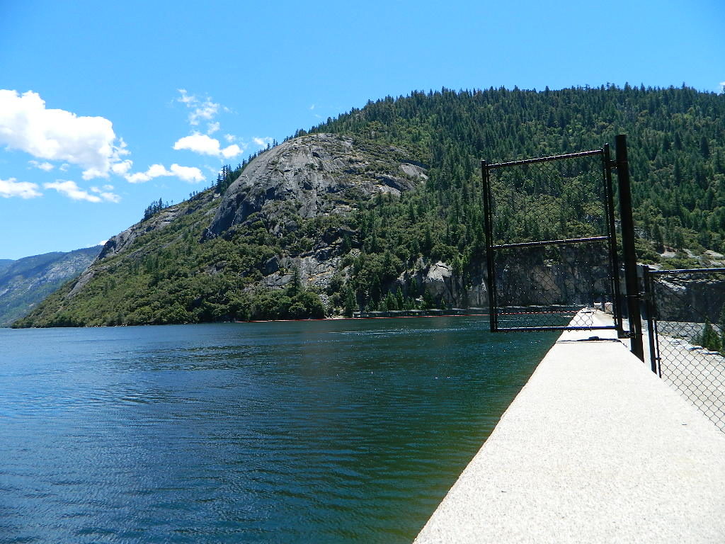
Topo Maps Mokelumne

Salt Springs Reservoir

Mokelumne Wilderness

Bordering the wilderness lands for day hikes and car camp on the outskirts. Plenty of dirt road in this region will lead to dispersed camp sites. Or do a backpacking week, or a horse pack adventure – deep into the untouched wild country of the Sierra Nevada mountains.

towns nearby:
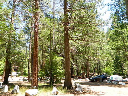
Camgrounds Maps

Free Camgrounds in the Sierra

see also –

National Forest Maps

Stanislaus Topo Atlas

stanislaus atlas

Stanislaus Forest Atlas USDA

Central Sierra Nevada Mountains / Sonora Pass / Stanislaus RiverNational Forest Maps

Stanislaus National Forest

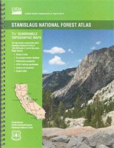
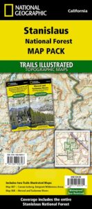
The Stanislaus Topo Atlas is a spiral bound book – a collection of all the quads. (7.5 minute topographical maps, of all of Stanislaus National Forest, California) This book map has detailed contour lines, rivers, streams, mountain peaks, streams, lakes, in addition to hiking trails & all the back roads. Sonora Pass Highway 88, with Ebbetts Pass Highway 4 just south of that. Most certainly the Stanislaus River and all area campgrounds. Perfect for all kinds of recreational needs. ISBN#  9781628114171

Calaveras, Northwest Yosemite, Spicer Reservoir, Dodge Ridge, Bear Valley Ski, Lake Alpine, Hetch Hetchy, Stanislaus Map.

Stanislaus River Atlas

USDA Topo Map
Stanislaus National Forest QUADS:

from south to north –

leavitt lake

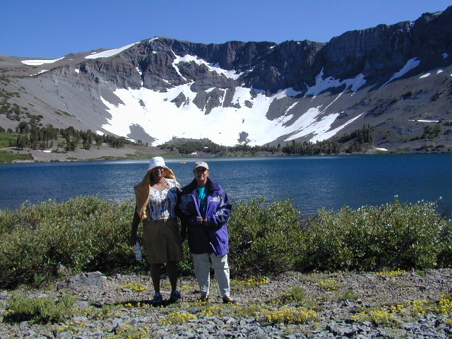
Leavitt Lake, elevation 9536′ – on the east side of Sonora Pass.

Sonora Pass Maps

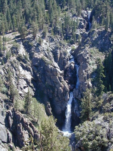
Leavitt Falls, CA SR 108 Sonora Pass


Topographic Map

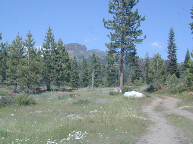
Sierra Meadow Boondocking near Wilderness


Trailhead Maps

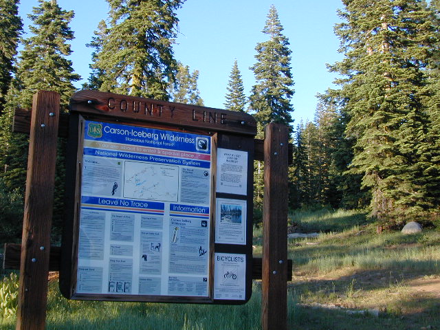
County Line Trailhead – Carson Iceberg Wilderness

see also –

Red Buttes Wilderness Map

Red Buttes Wilderness Map

Red Buttes Map USDA

This map is outta print!
Check Ranger Stations for availability. (see below)

hikers mapRed Buttes Wilderness Map Oregon
Siskiyou National Forest Applegate Ranger District, Rogue River National Forest

OR Topo Maps, Oregon Maps backpacking, hiking, camping, fishing; Illinois Valley Cave Junction, Klamath River California, RedButtes Wilderness Hiking Map, Topo Red Buttes Oregon, Applegate River Topographical Hiking Maps Northern California, Siskiyou NFS, Siskiyou Forest, Whiskey Ridge, at the California Oregon border.

Sierra map

Red Buttes Wilderness is situated in both Oregon and California and includes the crest of the Siskiyou Mountains between the Rogue River and Klamath River drainages. The wilderness is 13 miles long and 6 miles wide, with elevations ranging from 2,800′ in Butte Fork Canyon to 6,740′ at the east summit of the Red Buttes.

The main waterways that flow through Red Buttes Wilderness are all part of the Rogue River watershed, including the Butte Fork and the Middle Fork of the Applegate River, as well as Sucker Creek, a tributary of the Illinois River. The Wilderness contains the headwaters of the Illinois River.

Red Buttes Wilderness takes its name from the dominant peak along the Siskiyou Crest; because of its high iron and magnesium content, the butte’s rock is a reddish-orange color.

The Siskiyou Mountains are part of the larger Klamath Mountains Province of southwestern Oregon and northwestern California, and they include some of the oldest rocks in the region.

The former ocean-bottom sediments that make up most of the Wilderness are several hundred million years old. Over time they were slowly changed by pressure and heat into the complex variety of metamorphic rocks present today: schist, quartzite, gneiss, and several outcrops of white marble. During the last ice age small glaciers sculpted the Siskiyou basins that now contain lakes and meadows.

Red Buttes Wilderness Map

Closest USFS stations:

Happy Camp Ranger Station
Oak Knoll Ranger District
63822 Highway 96,
Happy Camp, CA 96039
530-493-2243

US Forest Service: Star Ranger Station
6941 Upper Applegate Rd,
Jacksonville, OR 97530
541-899-3800

fishing map

see also –

Oregon Dunes Map
Rogue River Float Guide
Rogue River National Forest Map
Columbia River Map
PCT Map #7 Southern Oregon
PCT Map #8 Northern Oregon


Baja Almanac

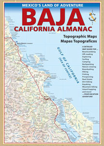
Baja California Almanac Map

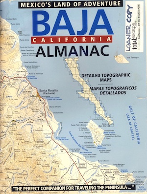
The Biggest & Best Baja California Topo Atlas

Baja Almanac Map

baja almanac 2021This map covers both top and bottom of the peninsula: Baja Norte (NORTH) & Baja Sur (SOUTH), BC Mexico

Baja Almanac PDF?

2021 UPDATE:
available for free, in a PDF download from
baja-almanac.com


NOTE: every so often these printed map books can be found on eBay or Amazon,or elsewhere online usually commanding a high for price tag for a “used copy”

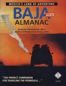
Baja Almanac 2003

Baja Almanac 2003

Baja Almanac – by Landon S. Crumpton

Mexico Maps – Both Northern & Southern Baja California in one atlas. The Best Maps of Baja, period! Excellent resource while traveling in Mexico. If you plan on driving deep into Baja and really exploring back roads, hidden coves, surf spots, deserts, petroglyphs… this is the map to have.

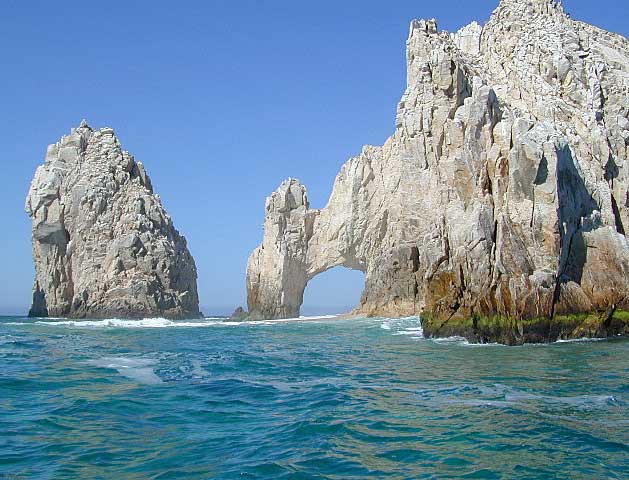
Lands End

baja california almanac

2009 edition (large format)

This version was the largest format ever printed on this map, detailing every inch of Mexico’s Baja California peninsula. Thinner and larger means less page flipping. With over 10,000 entries, the Baja Almanac lets you pinpoint any location in Baja, down to the most remote ranch or campsite. Published 2009. ISBN# 9780965866347

  • Larger Size: 10.75″ wide x 15.25″ tall
  • Printed on 70lb Paper with Matte Finish, a crisper, more defined presentation
  • Adjoining Map Overlap, each map displays an overlapping segment of adjoining map pages
  • Updated Land Routes & Cultural Features
  • Complete Indexes, Mileage Chart and Primary Route Distance in both miles & kilometers
baja maps

OLDER VERSION

baja norte

REAL OLD VERSION

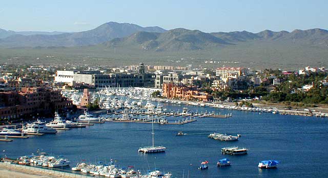
CSL Marina

CABO SAN LUCAS MARINA

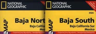
NatGeo makes waterproof hard-copy maps of the the Baja Peninsula.

see –bajamapsnatgeo
National Geographic Baja Maps


baja maps


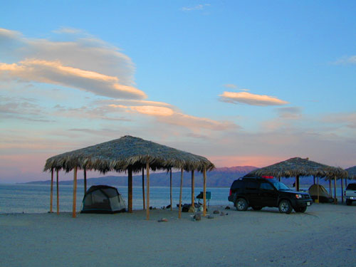
gonzagabay

Gonzaga Bay, Baja California

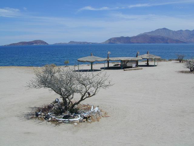
Bay of L.A.

Bay of L.A.(aka Bay of Los Angeles) Baja California

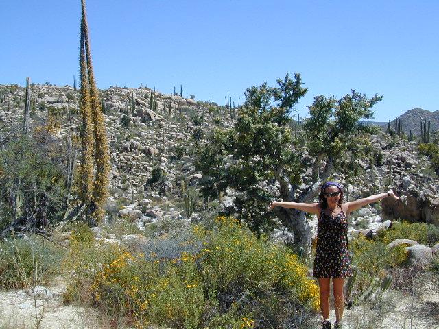
Catavina

DanaMite @ Catavina, B.C. Mexico