Gold Country Books

The Gold Rush of California

california independentThe largest migration in world history, of Overland pioneers traversing the continent on foot with wagons and horses, took place right here – beginning in 1848. The discovery of the precious metal gold, that set this rolling, was centered around the western Sierra rivers and mountains of California. The migration west began much earlier, but it increased dramatically after the news spread.

Gold Country Books can relate the historic details of yesteryear.

Within only a decade the entire West Coast was transformed into a developed landscape, with people coming from all over the world to stake out their claims, dreaming of fortunes or simply, just to find work and create a new life. Hence, California became a U.S. state in 1850. Consequently, the railroads followed soon after.

Find Gold Country Maps

Gold Rush Map Books

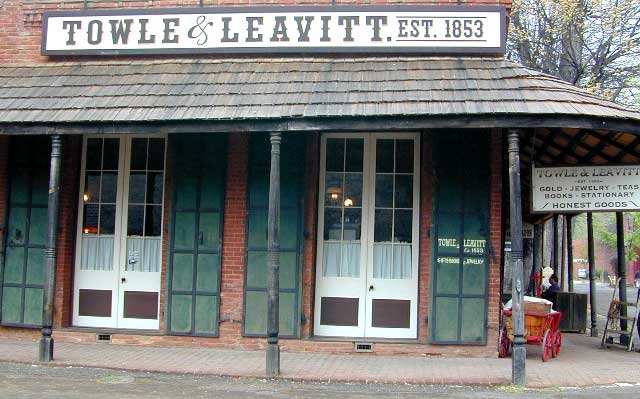
Columbia State Historic Park, California

California’s Gold Country Books

Gold Country Books

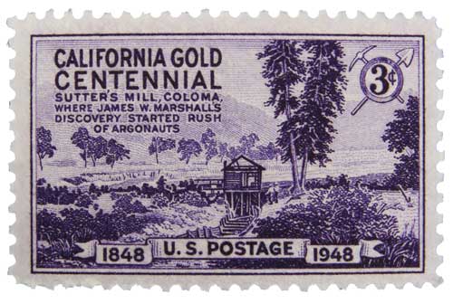
Coloma Gold Centennial Stamp 1948

Our Favorites on California History

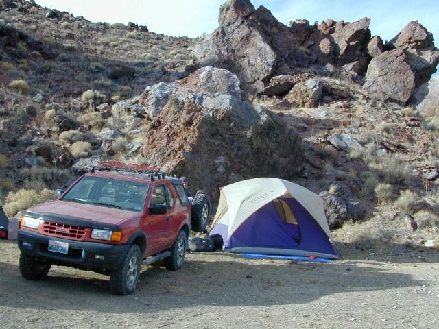
Little did I know what pleasure reading California historical books would bring me in my middle years of life. Transport yourself to the dusty trails and hardships of Overland pioneer life, or imagine a two year journey sailing around the bottom of South America to reach this desolate coast in the early 1800’s. Read these books below to get a glimpse into an Old California story. One you can only dream about, knowing what has become of it today.

Gold Country Books

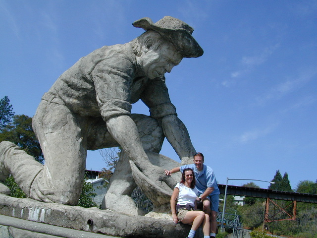
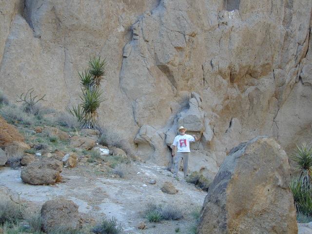
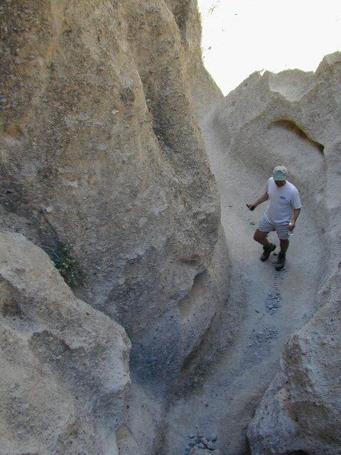
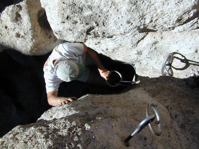
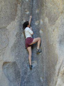
Gold Country Goofballs in Auburn, CA

Plumas Books

Plumas Books

Roger’s Cow Camp, Plumas NF

Find Plumas Map

Feather River Map

Plumas National Forest, Rivers and Lakes

campfire
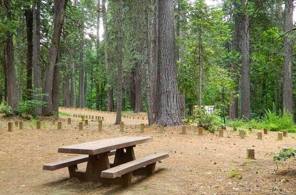
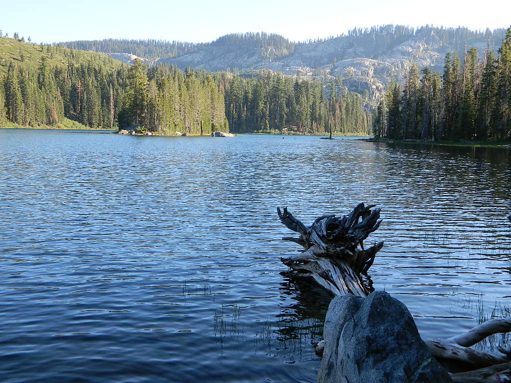
A horrific, huge amount of Plumas National Forest has been recently burned by wildfires in recent years, resulting in many trail, lake and campground closures in certain regions. Call ahead to ranger stations to see what is actually open, before you make the long drive.


Plumas Books

Plumas Books

Plumas Books

Plumas Books

Silver Lake has a small campground accessed via dirt road.

Plumas Destinations:Plumas Books

Jawbone Canyon OHV Map

Jawbone Canyon Map
Jawbone Canyon is North Mojave Desert,
US Hwy 395 @ Hwy 14

Jawbone Canyon Map

12th edition. jawbone.org

Jawbone Canyon Map

New features on map include – restroom and kiosk locations, updated GPS coordinates, updated trail routes and revised points of interest.

Off Road Map: Jawbone Canyon / Kelso Valley / Randsburg Ghost Town

Jawbone Canyon OHV North Mojave Desert Map; Topo features, Waterways, Trails & Roads. Motorized & no-motorized trails. Eastern Kern County High Desert. Spangler Hills OHV, Trona Pinnacles National Monument, Randsburg OHV, Red Mountain, Johannesburg, Red Rock Canyon State Park, Last Chance Canyon, El Paso Mountain Wilderness, Desert Tortoise Preserve, Kiavah Wilderness, Dove Springs OHV, Bright Star Wilderness, Tehachapi Loop, Walker Basin, California City, BLM Camping Mojave California Desert Trails, Southern Sierra OHV.  Map by Friends of Jawbone w/ California Trail Users Coalition

SoCal Off-Road, OHV Parks, Dove Springs, Jawbone Canyon, Dirt Bike Maps, offroad, North Mojave Desert, Trona Road


avenza mapsget a digital version of this map
CTUC Jawbone Canyon OHV Map

driftwood

Jawbone Canyon Map

Camping Last Chance Canyon

Jawbone Canyon Map

California Mojave Desert OHV Camping:

Do the off-roader RVs really roast a turkey in the ground at Jawbone Canyon?

Death Valley National Park is a land to be visited, during winter months (NOV-APRIL)

Randsburg – Living Ghost Town, off US Highway 395

Jawbone Canyon Map

Jawbone Canyon leads up to Kelso Valley & Bright Star Wilderness, eventually up to Lake Isabella near Kern River, Southern Sierra California

see also –

Inyo National Forest Map
Inyo Forest Topo Atlas
Sequoia National Forest Map
Sequoia Forest Atlas
Southern Sierra Map

Mojave National Preserve Map

Mojave National Preserve Map

Joshua Trees in Mojave NP

Mojave Map
by Tom Harrison Maps

Mojave National Preserve MapTom Harrison Mojave Desert Recreation Map: Mojave National Preserve Essex California, Mojave Desert Trails; Cima Dome, Mojave Road, Hole in the Wall, Mid Hills, Mid-hills, Providence Mountains, New York Mountains, Kelso Dunes, Kelso Depot, Kelso Road Map Mojave. Durable, waterproof plastic map; Folded. Map Scale: 250K; ISBN# 9781877689369

avenza maps

download digital version of this map –

Tom Harrison Map – Mojave National Preserve

Mojave National Preserve Map

Providence Mountains SRA

Mojave National Preserve Map

Mojave National Preserve Map

OLDER VERSION

Mojave National Preserve Map

REAL OLD MAP

New York Mountains

Free Camp @ New York Mountains

see more maps in the Mojave –

Trails Illustrated Mojave Map
from National Geographic
Jawbone Canyon Map
Death Valley National Park Maps
Lake Mead NRA Map
Red Rock Canyon Map – Las Vegas, NV

Hiking Desert Canyons

avenzabar

download digital maps of Mojave desert

CTUC Amboy OHV Map
CTUC Mojave Desert OHV Map
CTUC Needles CA OHV Map
CTUC Panamint Valley OHV Map
CTUC San Berdu & Barstow BLM Map

BLM Topo Map – AZ Lake Havasu Guide (free)
BLM Topo Map – AZ Havasu Palms, Sara Park (free)
NPS Map Brochure – Death Valley (free)
NPS Map Brochure – Lake Mead NRA (free)
NPS Map Brochure – Mojave NP (free)
USGS Topo Map – KINGMAN, AZ (free)

Ring Trail

Hiking the Ring Trail @ Hole in The Wall

 Metal Rings for Climbing

Metal Rings for Climbing

climbing