Grand Canyon Maps


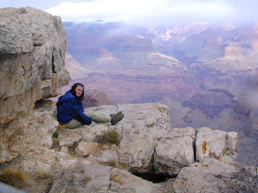
The Colorado River carves out the Grand Canyon, the largest National Park in the nation. 2019 marked the park’s 100th birthday!

The large river flows south from the Rocky Mountains of Colorado, down through the red rock deserts of the Southwestern US; separating Arizona from California, down to Baja California and the Sea of Cortez
North Rim of Grand Cyn = Utah
(8000′ elevation) conifer forests
South Rim of Grand Cyn = Arizona
(7000′ elevation) pinyon forests

digital maps for download
- Arizona GMU 12A Hunting Map Bundle
- Arizona Strip Visitor Map
- Grand Canyon Overview Map – NPS (free)
- Grand Canyon Hiking Map – NPS (free)
- Grand Canyon River Rafting Maps
- Havasu Falls, AZ topo map (free)
- Kaibab National Forest – North Kaibab
- Map the Xperience – Grand Canyon
- Motor Vehicle Use Map, AZ, Kaibab NF (free)
- NatGeo Grand Canyon Map Pack
- NatGeo Map 261 – GCNP, North & South Rims
- NatGeo Map 262 – Grand Canyon East
- NatGeo Map 263 – Grand Canyon West



Arizona Camping Maps
Utah Maps & Utah Books