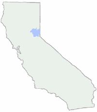
PCT Map #5 Northern Sierra Nevada Mountains
Lake Tahoe to Lassen
 Pacific Crest Trail National Scenic Trail
PCT – Hiking Map 5
Sierra Nevada’s Barker Pass at Lake Tahoe northward to Lassen National Park. Donner Pass, Lakes Basin Recreation Area, La Porte, Feather River, Bucks Lake Wilderness, Lassen NP, Highway 89 Old Station, Subway Cave, Hat Creek. USDA, Large fold out map, durable waterproof paper w/ sturdy cardboard cover. ISBN# 9781593514839
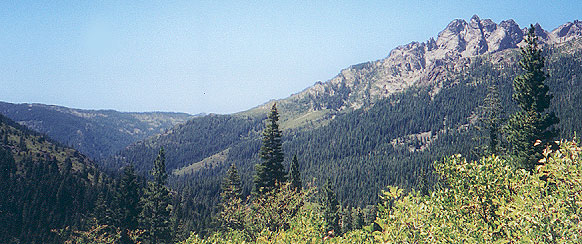
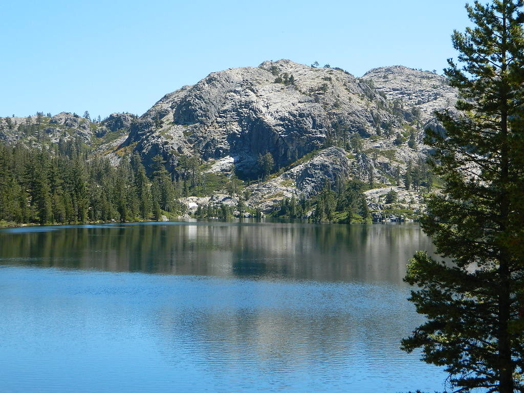
Faucherie Lake, N of Donner Pass
Lake Tahoe
Lake Tahoe is a large freshwater lake in the Sierra Nevada of the United States. Lying at 6,225 feet elevation above sea level, it straddles the state line between California and Nevada, west of Carson City. Lake Tahoe is the largest alpine lake in North America, and it trails only the five Great Lakes as the largest by volume in the United States.
Its depth is 1,645 feet, making it the second deepest in the United States after Crater Lake in Oregon. The lake was formed about two million years ago as part of the Lake Tahoe Basin, and its modern extent was shaped during the ice ages. It is known for the clarity of its water and the panorama of surrounding mountains on all sides.
Lassen Peak
Mount Lassen, is the southernmost active volcano in the Cascade Range of the Western United States. Located in the Shasta Cascade region of Northern California, it is part of the Cascade Volcanic Arc, which stretches from southwestern British Columbia to northern California. Lassen Peak reaches an elevation of 10,457 feet, standing above the northern Sacramento Valley. It supports many flora and fauna among its diverse habitats, which are subject to frequent snowfall and reach high elevations.
Lassen Peak is the largest lava dome on Earth. The volcano arose from the former northern flank of now-eroded Mount Tehama about 27,000 years ago, from a series of eruptions over the course of a few years. The mountain has been significantly eroded by glaciers over the last 25,000 years, and is now covered in talus deposits.

see also –
Lake Tahoe Maps
Tahoe National Forest Map
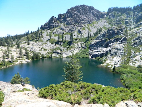
Lakes Basin Recreation Map
Plumas National Forest Map
Bucks Lake Wilderness Map
Lassen National Forest Map

Lassen Peak Lupine Hikes
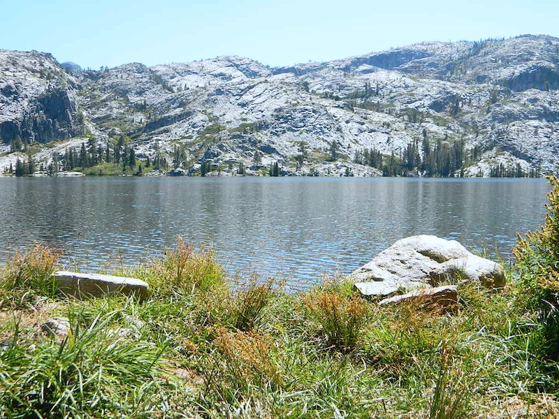
Lil Gold Lake @ Bucks Lake Wilderness