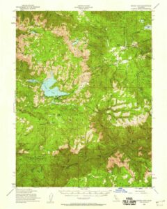
Middle Fork of the Feather River Map
Currently unavailable online; May still be found at ranger stations.
Feather River CA / Feather River Map / Berry Creek, California / Brush Creek / Milsap Bar
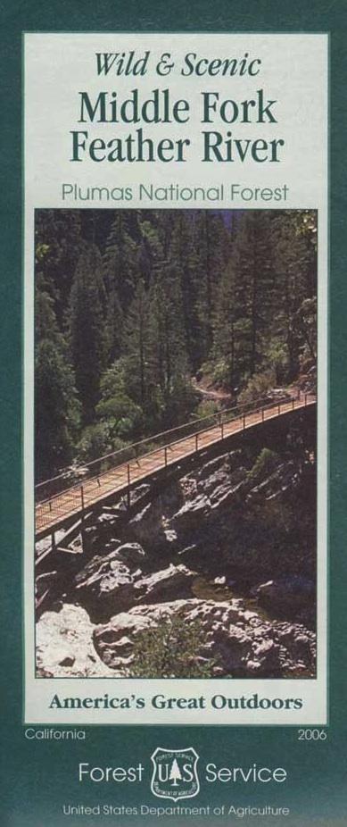
NorCal river recreation & fishing map covers the Middle Fork of the Wild & Scenic Feather River, inside Plumas National Forest. Oro-Quincy Highway, Brush Creek, Berry Creek, Dome Trail and Curtain Falls; Little North Fork, and Milsap Bar Campground. Perfect for day trips from Sacramento, or weekend fishing trips in the Sierra Nevada Mountains.
USDA NFS Hiking Map; Printed on paper in 2006. ISBN# 9781593514495
nearby towns:


Troutmap Feather River Map Set
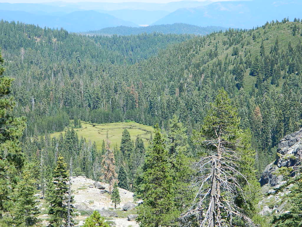
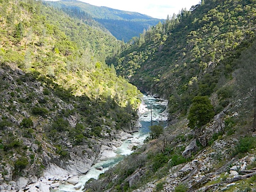
The Middle Fork Feather River is a major river in Plumas and Butte Counties in California. Nearly 100 miles long, it drains over 1000 square miles of the rugged northern Sierra Nevada range.
Its headwaters are located near Beckwourth in the largest alpine basin in the Sierra Nevada, the Sierra Valley. The convergence of several streams there creates the Sierra Valley Channels, the largest of which is Little Last Chance Creek, flowing out of Frenchman Lake across the northeast side of the valley.
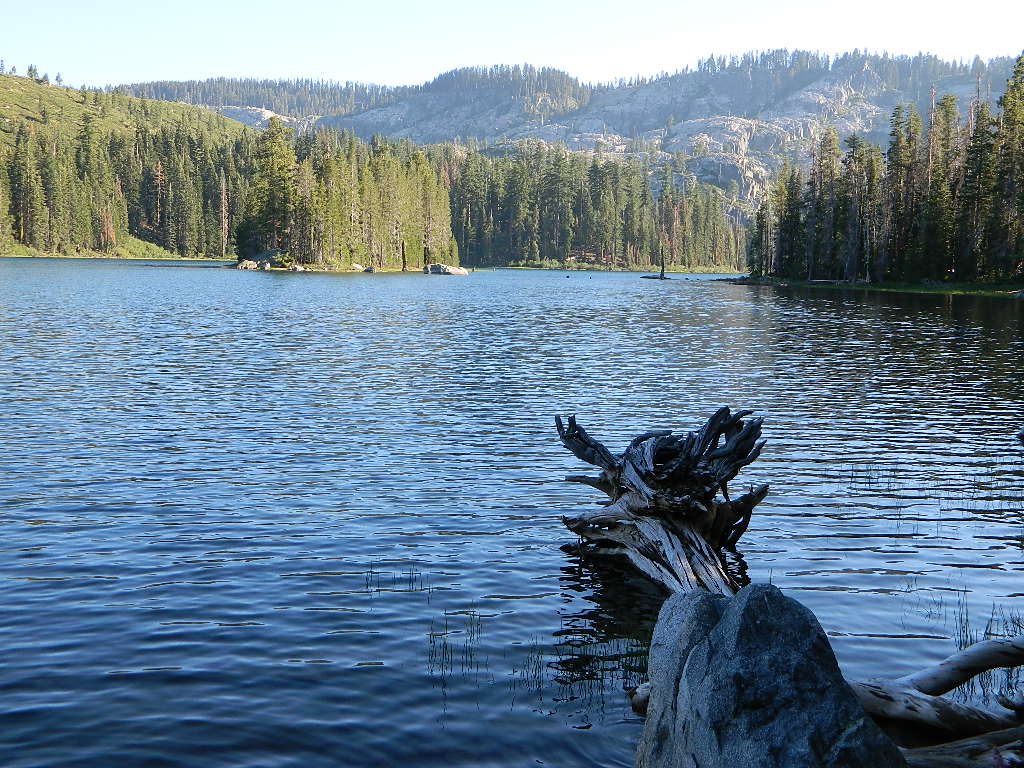
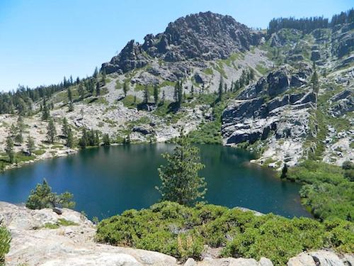
Flowing west, it is joined by Big Grizzly Creek, with waters from Lake Davis. The river continues west, passing Portola and turning northwest at Clio, where it is joined by Sulphur Creek. In the area of Graeagle, It is joined by Frazier Creek, flowing out of Gold Lake, then Gray Eagle Creek, flowing out of Long Lake.
After flowing through the Mohawk Valley, it then turns westwards into a canyon. Jamison Creek and Nelson Creek enter from the left, then Onion Valley Creek a few miles onward. Bear Creek, Willow Creek and the North Fork Middle Fork Feather River all come in from the right as the river courses west-southwest through a tight, steep canyon strewn with rapids. It is then joined by the South Branch Middle Fork Feather River from the left.
As the river widens into an arm of Lake Oroville, a reservoir formed by the Oroville Dam, the Fall River joins from the left. The Oroville Reservoir is fed by 4 Feather forks – the North, Middle, West and South Forks of the Feather River – which once joined in the valley to form the main Feather River. That river continues southwards to join the Sacramento River.
One of the Middle Fork Feather’s tributaries, the Fall River, feeds the 640′ Feather Falls. This waterfall is often claimed to be the third or sixth tallest in the United States; but in reality is nowhere near the top ten in height.
see also –
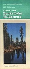
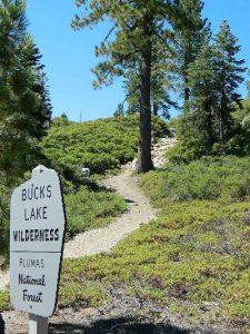
Plumas National Forest Map


 East of Oroville, CA