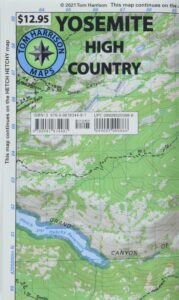
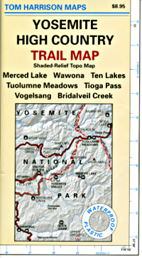
Mt Whitney Zone Trail Map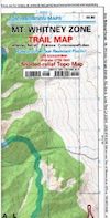
Tom Harrison Maps
Mount Whitney is the tallest mountain peak in the Lower 48 USA
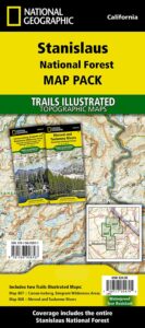
Mount Whitney Map, Whitney Portal. Topo Trail. Mt Whitney maps. Tom Harrison Trail Map: Mount Whitney Zone Trail Map, Lone Pine, CA; Areas include: Whitney Portal, Crabtree, Cottonwood Lakes, Rock Creek. Whitney Portal Trailheads, Outpost Camp, Trail Camp, Whitney Summit, Mountaineer’s Route, High Sierra Trail, Crescent Meadow, and the John Muir Trail Junction. Durable, waterproof plastic map; Folded. Map Scale: 31.7K; ISBN# 9781877689697

![]() download digital version of this map –
download digital version of this map –
Mount Whitney Zone Map
- backpacking
- camping
- climbing
- fishing
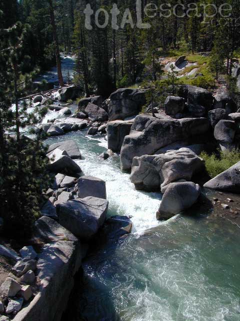
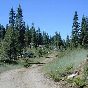
- hiking
- horsepacking
- mountaineering
A day hike to Mount Whitney and back to the Portal is not really possible (for most people), so an overnight backpacking trip is a given. High elevations makes for thinner air and more challenging conditions.
Permits are required to hike this popular peak – DAY HIKERS or OVERNIGHTERS. Authorities limit the amount of people that can be on these trails. A lottery tackles the choice of who gets to go this year. Annual deadline is April 30 @ recreation.gov
How many people wanna hike Whitney?
25,005 applications in 2021

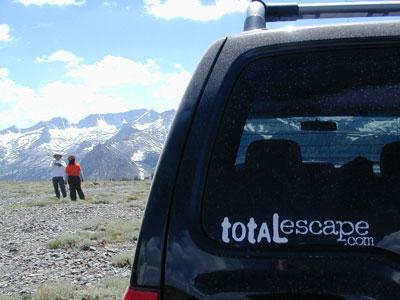
USEFUL LINKS:

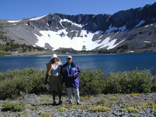
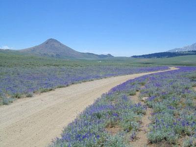
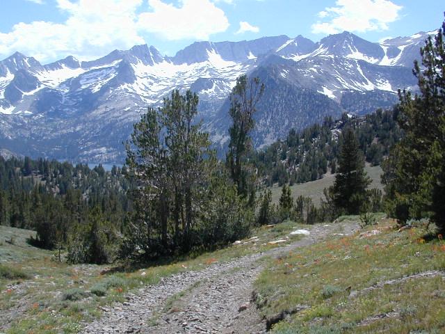
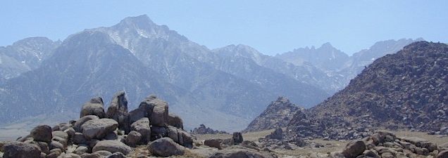
Mount Whitney is the tallest mountain in the contiguous United States and the Sierra Nevada, with an elevation of 14,505 feet. It is in East–Central California, on the boundary between California’s Inyo and Tulare counties, 84.6 miles west-northwest of North America’s lowest point, Badwater Basin in Death Valley National Park, at 282 feet below sea level. The mountain’s west slope is in Sequoia National Park and the summit is the southern terminus of the John Muir Trail, which runs 211.9 miles from Happy Isles in Yosemite Valley. The eastern slopes are in Inyo National Forest in Inyo County.
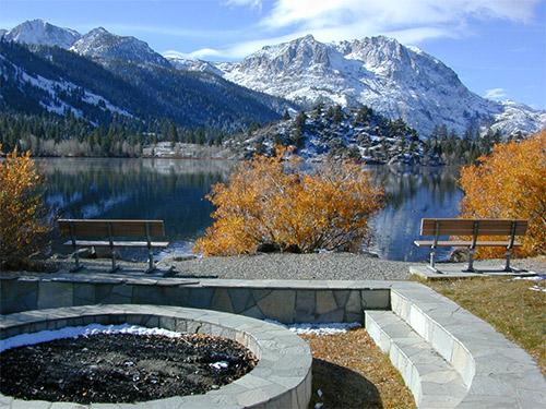
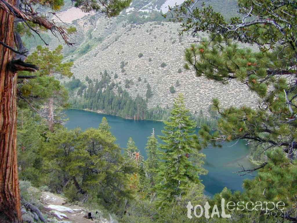
Mount Whitney’s summit is on the Sierra Crest and the Great Basin Divide. It lies near many of the Sierra Nevada’s highest peaks. The peak rises dramatically above the Owens Valley, sitting 10,778 feet or just over 2 miles above the town of Lone Pine 15 miles to the east, in the Owens Valley. It rises more gradually on the west side, lying only about 3,000 feet above the John Muir Trail at Guitar Lake. The mountain is partially dome-shaped, with its famously jagged ridges extending to the sides. Mount Whitney is above the tree line and has an alpine climate and ecology.
see also –
Mount Whitney Highcountry Map
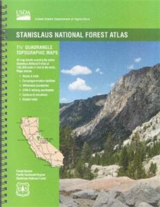
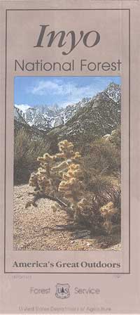
Inyo National Forest Map USDA
Inyo Forest Atlas
John Muir Wilderness Maps
John Muir Trail Books