High Sierra Topo Map
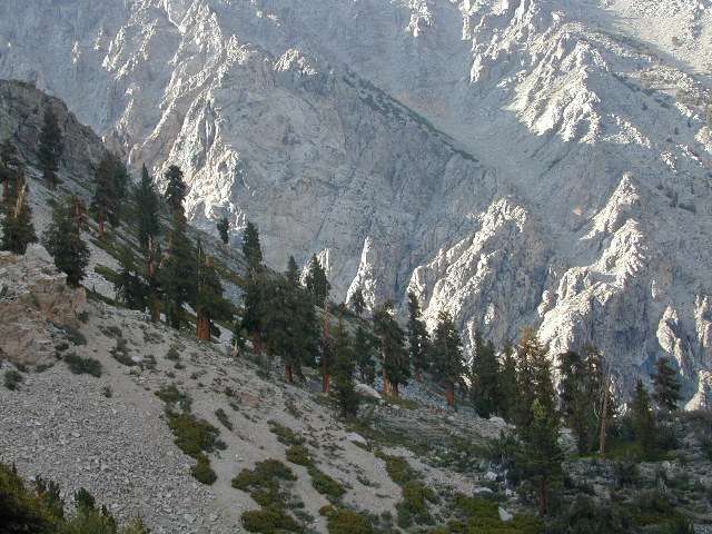
Eastern Sierra Nevada, California
Inyo National Forest Atlas
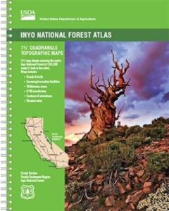
 The INYO atlas, is a spiral bound book – a collection of all the quads. (7.5 minute topographical maps, of all of Inyo National Forest) Both sides of US Highway 395! From Olancha to Yosemite, Bodie ghost town to Darwin near Death Valley. This book map has detailed topo lines, mountain peaks, streams, lakes, hot springs, hiking trails & back roads. Perfect for all kinds of recreational needs. 117 pages. Printed in 2014. ISBN# 9781628114058
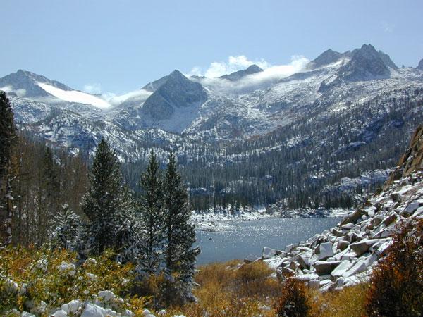
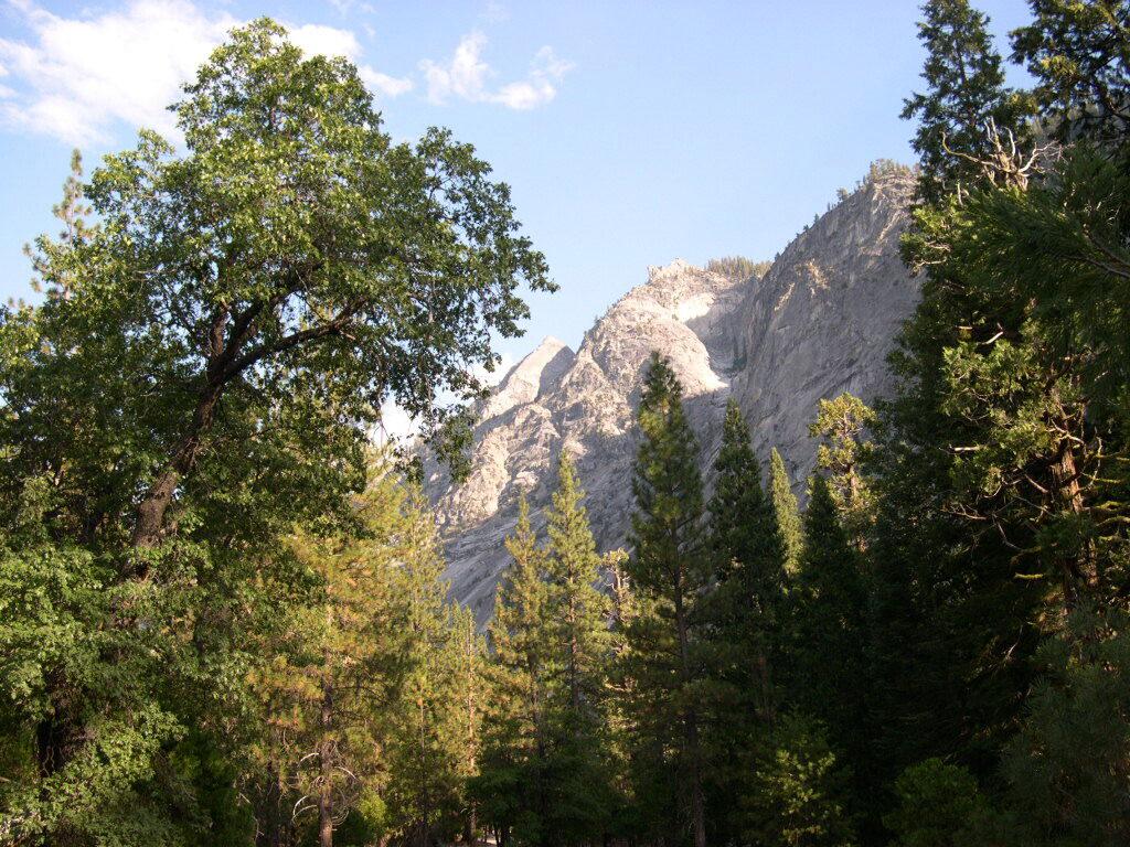
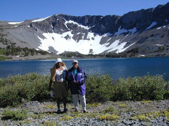
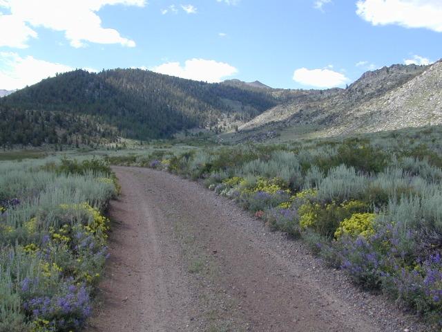
South Lake near Bishop CA
see also –
Inyo National Forest Map
Mount Whitney Maps
Death Valley Maps
Bishop Pass Map
Palisades Trail Map
Mammoth Highcountry Map
Mammoth Mono Trail Map
Ansel Adams Wilderness Map
John Muir Wilderness Map
Fishing Maps for California
regional towns:
- ASPENDELL, CA
- BENTON, CA
- BIG PINE, CA
- BISHOP, CA
- CROWLEY LAKE
- DARWIN, CA
- JUNE LAKE
- LEE VINING
- LONE PINE
- MAMMOTH LAKES
- OLANCHA
- PANAMINT SPRINGS
- TOMS PLACE
Cottonwood Lakes and Horseshoe Meadow, an alternate hiking approach to Mount Whitney

Inyo National Forest QUADS:
from south to north
-
- Coso Junction
- Long Canyon
- Crag Peak (9455′ elev)
- Haiwee Reservoirs
- Haiwee Pass
- Casa Vieja Meadows
- Monache Mountain (9410′ elev)
- Hockett Peak
- Kern Lake
- Kern Peak (11,510′ elev)
- Templeton Mountain (9932′ elev)
- Olancha
- Chagoopa Falls
- Johnson Peak (11,371′ elev)
- Cirque Peak (12,900′ elev)
- Bartlett
- Lone Pine
- Mount Langley
- Mount Whitney (14,494′ elev)

- Mount Brewer
- Mount Williamson (14,375′ elev)
- Manzanar
- Union Wash
- Pat Keyes Canyon
- Bee Springs Canyon
- Independence
- Kearsarge Peak
- Mount Clarence King (12,905′ elev)
- Mount Pinchot (13,495′ elev)
- Aberdeen
- Blackrock
- Mazourka Peak (9410′ elev)
- Waucoba Canyon
- Waucoba Mountain (11,123′ elev)
- Waucoba Spring
- Tinemaha Reservoir
- Fish Springs
- Split Mountain (14,058′ elev)
- North Palisade (14,242′ elev)
- Mount Goddard
- Mount Darwin
- Mount Thompson

- Coyote Flat
- Big Pine
- Ulhmeyer Spring
- Cowhorn Valley
- Joshua Flats
- Deep Springs Lake
- Westguard Pass (7271′ elev) Hwy 168
- Poleta Canyon
- Bishop
- Tungsten Hills
- Mount Tom (13,652′ elev)
- Mount Hilgard
- Graveyard Peak
- Mount Abbot (13,715′ elev)
- Mount Morgan (13,005′ elev)
- Rovana
- Fish Slough
- Laws
- Blanco Mountain (11,278′ elev)
- Crooked Creek
- Chocolate Mountain (7703′ elev)
- Indian Garden Creek
- Station Peak
- Mount Barcroft
- Chalfant Valley
- Chidago Canyon
- Casa Diablo Mountain (7912′ elev)
- Toms Place
- Convict Lake
- Bloody Mountain (12,544′ elev)
- Crystal Crag
- Cattle Mountain
- Timber Knob
- Mount Lyell
- Mount Ritter (13,141′ elev)
- Mammoth Mountain
- Old Mammoth
- Whitmore Hot Springs
- Watterson Canyon

- Banner Ridge
- Hammil Valley
- White Mountain Peak
- Juniper Mountain (7862′ elev)
- Dyer
- East of Davis Mountain
- Davis Mountain (12,310′ elev)
- Boundary Peak
- Benton
- Benton Hot Springs
- Glass Mountain
- Dexter Canyon
- Crestview
- June Lake
- Koip Peak (12,979′ elev)
- Vogelsang Peak (11,516′ elev)
- Tioga Pass
- Mount Dana (13,053′ elev)
- Lee Vining
- Mono Hills
- Cowtrack Mountain
- Indian Meadows
- River Spring
- Truman Meadows
- Mount Mongomery
- Volcanic Hills West
- Jacks Spring
- Huntoon Spring
- West of Huntoon Spring

- Alameda Well
- Sulphur Pond
- Negit Island
- Lundy Lake
- Dunderberg Peak (12,374′ elev)
- Cedar Hill
- Anchorite Hills
Inyo back roads, 4×4 routes and hiking trailheads
Inyo National Forest Topo Maps, Topographical Inyo Map, Eastern Sierra, Olancha Peak, Lone Pine, Alabama Hills, Whitney, Mammoth, June Lake, Rock Creek, Lee Vining, Bishop, Sabrina, Palisades Glacier, Onion Valley, Independence, Coyote Flat Lake