Ansel Adams Wilderness Books

Find Ansel Adams Wilderness Maps

"<yoastmark

Ansel Adams Wilderness Books

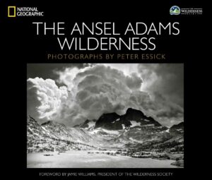
Nat Geo Book

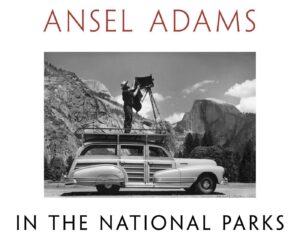
National Parks Book

American West

Ansel Adams Wilderness Books

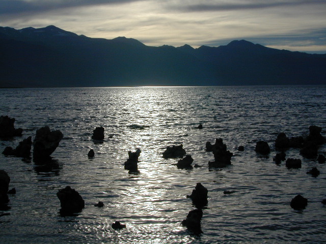
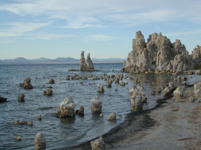
Mono Lake at Sunset

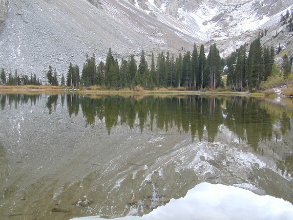
The Ansel Adams Wilderness is a wilderness area in the Sierra Nevada of California, United States. The wilderness spans 231,533 acres – much of which is located inside the Inyo and Sierra National Forests, and the remaining acres covers nearly all of Devils Postpile National Monument. Yosemite National Park lies to the north and northwest, while the John Muir Wilderness lies to the south.

The wilderness was established as part of the original Wilderness Act in 1964 as the Minarets Wilderness. The 109,500-acre Minarets Wilderness was created by enlarging and renaming the Mount Dana-Minarets Primitive Area. In 1984, after his death, the area was expanded and renamed in memory of Ansel Adams, well-known environmentalist and nature photographer who is famous for his black-and-white landscape photographs of the Sierra Nevada.

The Ansel Adams wilderness spans in elevation from 3,500 to 13,157 feet, forming the northern end of the High Sierra. The centerpiece of the Ansel Adams wilderness is the Ritter Range, which includes dark meta-volcanic glaciated mountains such as Mount Ritter, Banner Peak, and The Minarets.

Immediately to the east of the Ritter Range is the Middle Fork of the San Joaquin River, which contains Devils Postpile, a series of basaltic columns that were revealed and smoothed by glacier action. The Middle Fork originates from Thousand Island Lake, at the foot of Banner Peak, one of the largest backcountry lakes in the Sierra.

To the east of the Middle Fork canyon is the true Sierra Crest, which, at roughly 10,000 feet of elevation is lower than the Ritter Range. This relatively low region of the Crest allows winter storms through and cause large amounts of snowfall on Mammoth Mountain, which sits in the gap. The gap also allows migration of plants and animals across the Sierra Crest.

To the west of the Ritter Range lies the canyon of the North Fork of the San Joaquin, a relatively remote and less visited high-country area. The southern part of the wilderness contains the 3,000 feet deep canyon of the main San Joaquin River, which flows out of the Sierra Nevada to California’s Central Valley.
Ansel Adams Wilderness Books

Recreation Ads

Get Listed & Linked on California’s Total Escape

Recreation Listings for California


This advertising choice is for recreation businesses only; live link placed within Total Escape.com > RECREATION

Businesses include: kayak rental shops, horseback riding, mountain outfitters, limousines, wineries, bike rentals, marinas or cruises, RV campgrounds, hot air balloons, rock climbing guides, fly fishing professionals, snow ski resorts, 4×4 tours, scuba dive shops, motorcycle rentals, sightseeing bus charters, firewood dealers and so on. If you do not see a similar type of company listed on our vast web site, then find out first if a link is possible.

Recreation Listings for California

The image for ad can be a logo or a photo. JPG 200×200. Make your business listing really stand out with the best deal on the web. Listing your business with us will only help your web traffic and overall exposure with our ancient web site (online since 1996).

ANNUAL LISTING:
Best deal in California – Ads for Dirt Cheap!

Recreation Listings for California

Get more exposure directed to your website with a link from Total Escape. Online over 2 decades, we do have the traffic to drive you wild.

We get a million ‘page views’ per month and that number doubles in the summertime. Outdoorsy travelers find what they need on our California site. About 22% of our traffic is return visitors.

Advertise your travel industry related business with Total Escape. This is for an annual listing & link for a business website, local to California.

Baja California Books

Benchmark Baja California
Road & Recreation Atlas

Baja Map Mexico

Release date MAY 2021 – announcing a brand new atlas for Baja California, created by Benchmark Maps. 

see more Baja California Maps

Baja California Books

Baja California Mexico

Baja California Mexico Books


Baja California Books

Baja California Books

Baja California Books

Lower California

as opposed to Alta California (US state of California)

Baja California encompasses a territory within the Californias region of North America, which exhibits diverse geography for a relatively small area. The Peninsular ranges of the California cordillera run down the geographic center of the state. The most notable ranges of these mountains are the Sierra de Juárez and the Sierra de San Pedro Mártir. These ranges are the location of forests reminiscent of Southern California’s San Gabriel Mountains. Picacho del Diablo is the highest peak on the peninsula.

Valleys between the mountain ranges are located within a farm growing climate zone, that is particularly suitable for agriculture. Such valleys include the Valle de Guadalupe and the Valle de Ojos Negros, areas that produce citrus fruits and grapes. The mineral-rich mountain range extends southwards to the Gulf of California, where the western slope becomes wider, forming the Llanos del Berrendo on the border with Baja California Sur. The mountain ranges located in the center and southern part of the state include the Sierra de La Asamblea, Sierra de Calamajué, Sierra de San Luis and the Sierra de San Borja.

Baja Climate

Temperate winds from the Pacific Ocean and the cold California Current make the climate along the northwestern coast pleasant year-round. Rains from the north barely reach the peninsula, thus leaving southern areas drier. South of the El Rosario River, the terrain changes from a Mediterranean landscape to a desert one. This desert exhibits diverse succulent species that flourish in part due to the coastal fog.

There are numerous islands on the Pacific shore. Guadalupe Island is located in the extreme west of the state’s boundaries and is the site of large colonies of sea lions. Cedros Island exists in the southwest of the state’s maritime region. The Todos Santos islands are located off the coast of Ensenada; Coronado Islands are located off of Tijuana.

Baja California Books

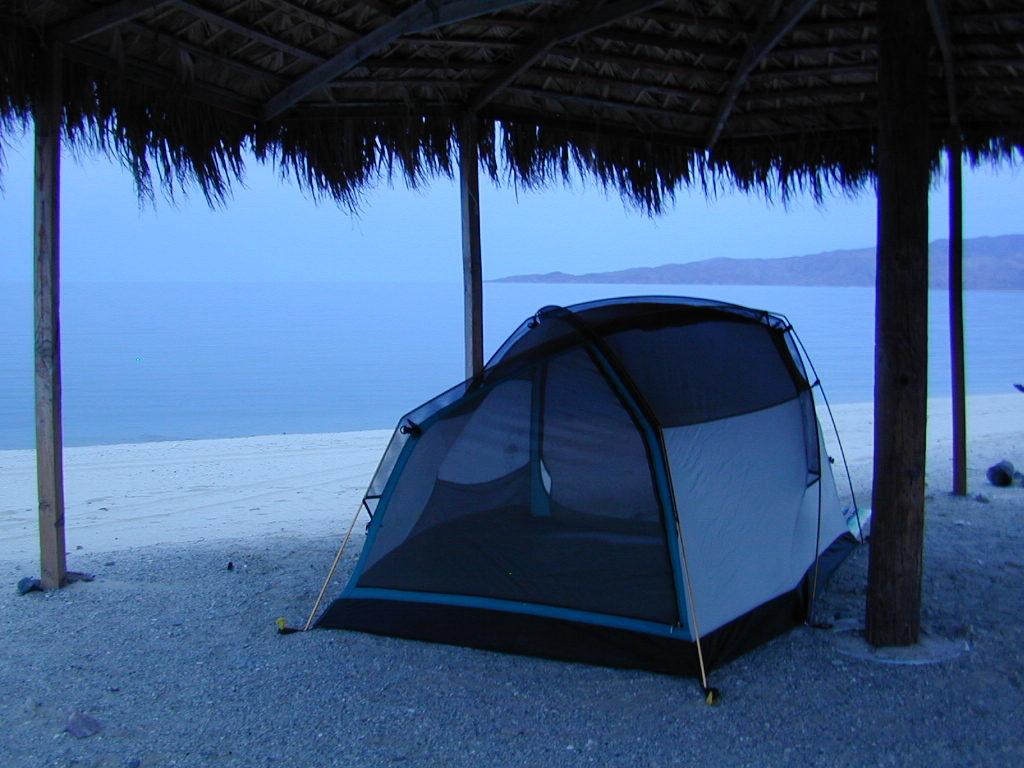
Gonzaga Bay, Baja California Mexico

San Diego Books

San Diego Books

Find Maps for San Diego Mountains & Deserts:

San Diego Books

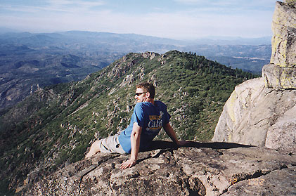
Cuyamaca Peak

San Diego Camping & Hiking Books


San Diego Books