Mount San Gorgonio Maps

Big Bear Maps:
San Gorgonio Wilderness

San Gorgonio Trail Map
Mount San Gorgonio MapsTom Harrison Maps

Mount San Gorgonio Maps

Mount San Gorgonio Maps, San Gorgonio Trail Map. Tom Harrison Trail Map: Big Bear Hiking, San Gorgonio Wilderness CA; Mount San Gorgonio; Old Gray Back, Grayback, Greyback, Big Bear Area: Durable, waterproof plastic map; Folded. Map Scale: 48K; ISBN# 9781877689529

San Gorgonio Wilderness Map, Backpacking Big Bear, Hiking, Hike Gorgonio, Topo Gorgonio, Mount San Gorgonio; Old Gray Back, Grayback, Greyback, Big Bear Area

Mount San Gorgonio Maps

Mount San Gorgonio Maps


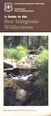
San Gorgonio Map USDA
Big Bear Wilderness Hikes

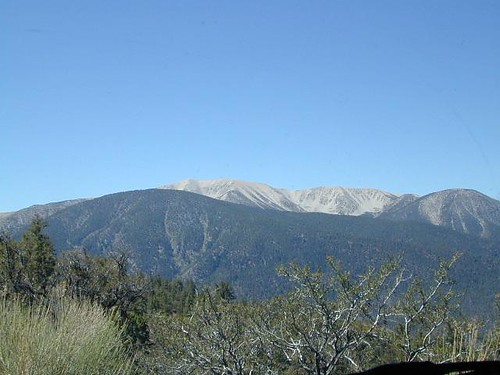
San Gorgonio Wilderness

USDA, waterproof topographic map of San Gorgonio Wilderness in the San Bernardino National Forest. Big Bear hikes, camping, backpacking. Heartbar Campground, Forest Falls, Gorgonio trailheads, Southern California hiking. Waterproof plastic. Updated 2010. ISBN# 9781593514945
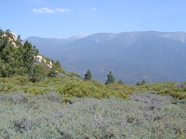
Old Grayback

San Bernardino Maps

Mount San Gorgonio Maps

Mount San Gorgonio Maps

see also –

San Bernardino National Forest Map
San Bernardino Forest Atlas
San Bernardino Mountains 

Mount San Jacinto Maps

Angeles Maps
San Gabriel Mountains Map


PCT Trail Maps Mount San Gorgonio Maps

Mammoth Lakes & Mono Divide Map

Mammoth Mono Map
NatGeo Map #809

Mammoth Lakes Map
Mammoth Lakes & Mono Divide Map

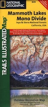
Trails Illustrated Map from National Geographic. Mammoth Lakes & the Sierra Nevada Mono Divide on one map #809. This map covers areas inside Inyo National Forest & Sierra National Forest.

Many know the Eastern Sierra & US Hwy 395, but few know about the Mono Divide, deep in the majestic Sierra Nevada, way up behind Mammoth Lakes.  Mono Hot Springs, Highway 168, back beyond Huntington Lake & Kaiser Pass. Florence Lake, Edison Lake, Vermillion Camp.

Only on foot connects the Western Sierra with the steep granite ridges and deserts on the east side.

Ansel Adams Wilderness, Dinkey Lakes Wilderness. The Minarets, Devils Postpile National Monument. Hike PCT, John Muir Trail. Sierra Nevada High Country Hiking Map. Many alpine lakes to fish, hike and explore in the wilderness – the high country. Very detailed & colorful. Waterproof Plastic Map; Tear Resistant. GPS data. Printed 2010. ISBN# 9781566952668

Convict Lake w/ dogs

Mammoth Lakes, Mono Divide High Country, Topographic Maps, Topo, Hike, Backpack, Fishing, Camping, Mountain Bike, Trail Maps, All Outdoor Recreation

nearby towns:

minarets

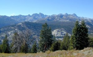
The Minarets @ Mammoth

see also –

Devils Postpile Trail Map
Mono Divide High Country Map
Ansel Adams Wilderness Maps
John Muir Wilderness Maps
Inyo National Forest Map USDA
Sierra National Forest Map USDA

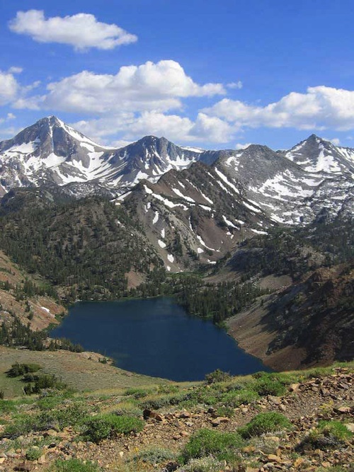
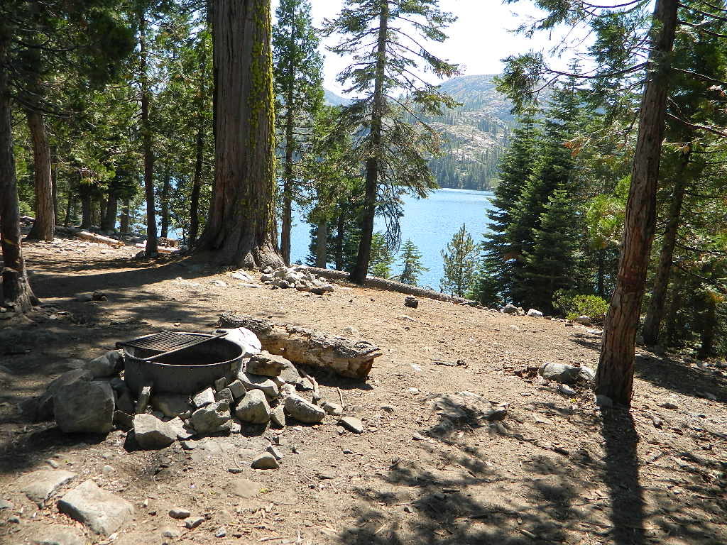
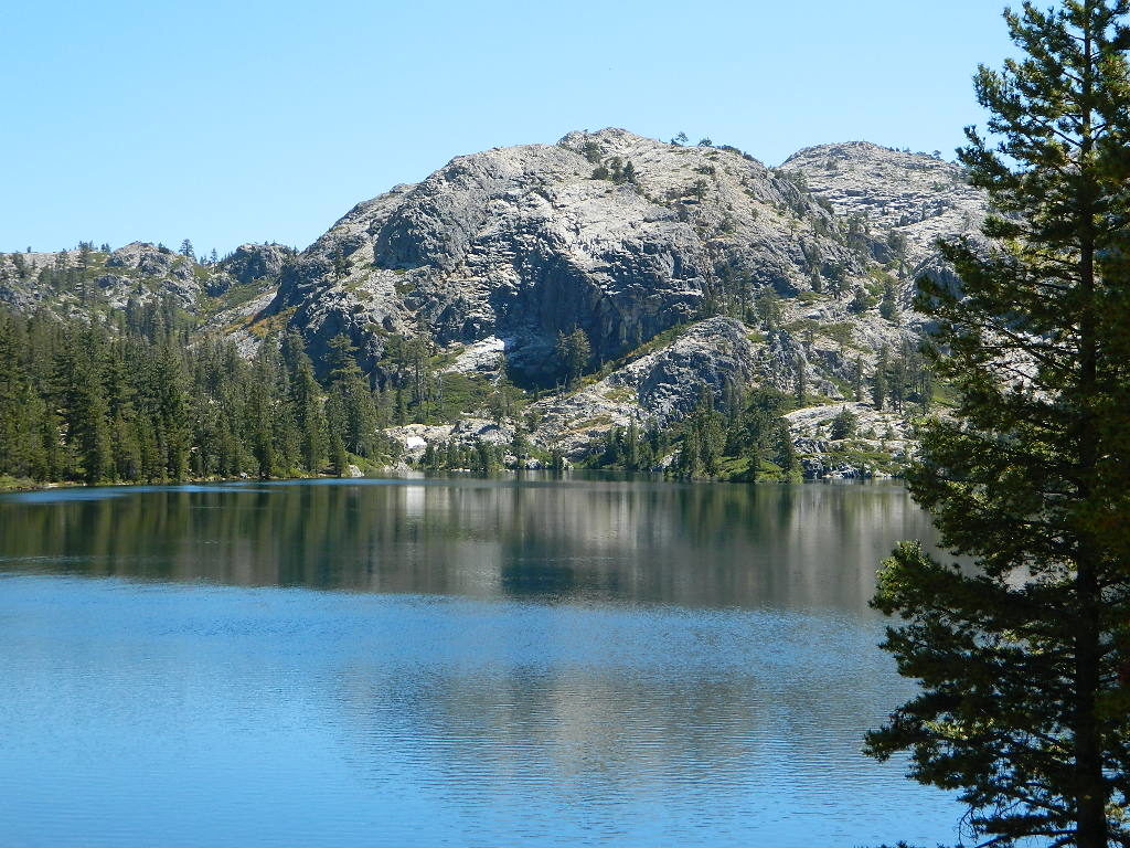
Lake Genevieve

Lake Genevieve

Tahoe National Forest Map

Tahoe Forest Map

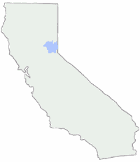
Tahoe Maps / Lake Tahoe California
Tahoe National Forest
USGS map California: Tahoe Map. Lake Tahoe Camping. Sierra Nevada Lakes, Sierra Mountains

Tahoe Maps. Quality USDA maps created for the National Forest Service. Tahoe California Map. Tahoe Area Map. Northern Sierra, Sierraville, Truckee, Stampede Reservoir, Granite Chief Wilderness

GPS: Longitude & Latitude; Rivers, Creeks, Peaks, Elevations, 4WD & every dirt BackRoad, Hot Springs, Equestrian Areas, all Campgrounds, Hiking Trails & BackPacking Trailheads. WATERPROOF MAP. Ranger Map – NFS issued map. ISBN# 9781593514419

Areas include: Northern Sierra, Sierraville, Truckee, Stampede Reservoir, Granite Chief Wilderness, North Lake Tahoe, Hell Hole Reservoir, French Meadows Reservoir, Sugar Pine Reservoir, Donner Lake, Jackson Meadow Reservoir, Bowman Lake, New Bullards Reservoir, Downieville, Highway 49, Gold Country.

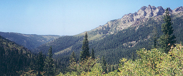
sierrabuttes

Sierra Buttes, Yuba River Headwaters

Northern Sierra Nevada Mountains: Tahoe National Forest

Lakes Basin Recreation Area

North Bloomfield, Malakoff Diggins

Gold Country California

Rivers in this Region:

Wilderness Areas nearby:hiker

Desolation Wilderness
Granite Chief Wilderness
Mount Rose Wilderness

Camping & Hiking Lakes in the North Sierra:

nearby towns:

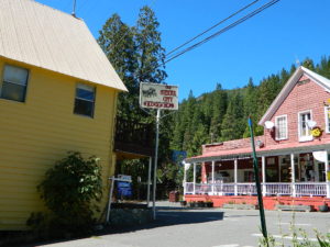
Sierra City, CA

Sierra City, CA

Sawmill Lake

Sawmill Lake, near Donner Pass


Faucherie

Lake Faucherie, near Donner Pass

find more Tahoe maps –

Lake Tahoe Basin Atlas
4×4 Guide Tahoe NF
Sierra Buttes Map
South Yuba River Map
Lake Basin Map