Canyonlands Map

Canyonlands National Park: Utah Maps

Canyonlands Map

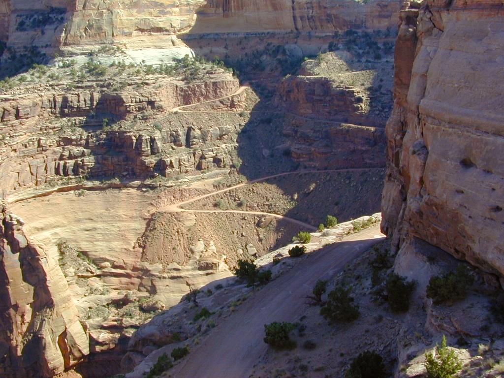
This scenic National Park is so large there are several maps covering this mini-Grand-Canyon-looking desert destination. White Rim Trail is a popular mountain bike route and primitive camping area, but it is extremely rugged and requires a 4 wheel drive vehicle.

Canyonlands Map

Canyonlands Map
Canyonlands Maps by NatGeo

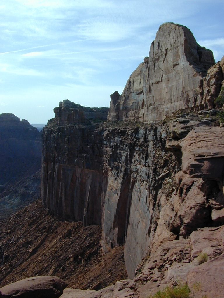
The park preserves a colorful landscape eroded into numerous canyons, mesas, and buttes by the Colorado River, the Green River, and their respective tributaries. This National Park is divided into four districts: the Island in the Sky, the Needles, the Maze, and the combined rivers—the Green and Colorado—which carved two large canyons into the Colorado Plateau. While these areas share a primitive desert atmosphere, each retains its own character.

Canyonlands Map

Canyonlands Map

Canyonlands Map


Canyonlands Map

Schaffer Trail, a most scenic drive that leads back to Moab.

see also – camp maps

Arches National Park Map
Utah Maps
Moab Utah

Joshua Tree Maps

Joshua Tree National Park Map

Joshua Tree Maps
Both Tom Harrison and NatGeo make awesome recreation maps of this popular SoCal desert. Numerous campgrounds, hiking trails, dirt roads, historic mines, and plenty rock climbing spots. In 1934, Joshua Tree was designated as a National Monument and then later became a National Park in 1994. The local Palm Springs Desert BLM office has paper maps that cover the desert canyon areas near Interstate 10.

JT Maps

Joshua Tree Recreation Map
by Tom Harrison

Joshua Tree National Park Map, Climbing Joshua Tree Camping Backpacking Maps, Areas include: Black Rock Canyon, Hidden Valley, Barker Dam, Keys View, Lost Horse Valley, Lost Horse Mine, Ryan Mountain, Cholla Cactus Garden, Cottonwood Spring, Lost Palms Oasis, Geology Tour Road, Cap Rock, Jumbo Rocks, Wonderland of Rocks, Arch Rock. High Desert Yucca Valley; Durable, waterproof plastic map; Folded. Map Scale: 125K; ISBN# 9781877689536

digital mapsget a digital version of this map
Joshua Tree Park Map by Tom Harrison

Joshua Tree Maps

Quiet Camps in the Desert

Joshua Tree National Park Map #226
by National Geographic

Trails Illustrated Map from National Geographic. Joshua Tree National Park Map #226. Joshua Tree Park Map, Camping & Hiking Map. Very detailed & colorful. Waterproof Plastic Map; Tear Resistant. GPS data. Scale 1:80,000 Contour Interval = 100 feet. ISBN# 9781566953009

digital mapsget a digital version of this map
NatGeo Map 226 – Joshua Tree National Park

Joshua Tree Maps

online maps

digital maps for download

Joshua Tree Maps

Joshua Tree Maps

Joshua Tree Maps can get you beyond the crowds, to the outlying places that few know about. Summers can be hot here in the High Desert at 4000′ elevation, but not as hot as the Palm Springs / Coachella Valley below.

Winters can be chilly and windy, especially with any storm front moving through SoCal. Snow is possible at this elevation. Low temps overnight can drop into the teens during certain times of year – so make sure to bring a zero degree sleeping bag and good thermal undies.

Spring (wildflowers) and autumn are ideal times to visit JTNP.

Joshua Tree Maps

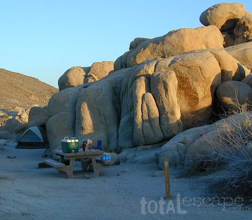
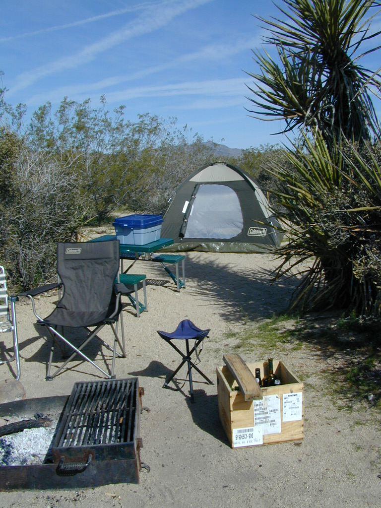
Camping Joshua Tree National Park Desert

NatGeo Baja Maps

NatGeo Baja Maps

National Geographic
Baja Maps
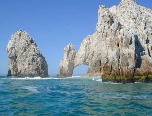
NatGeo Baja Maps

  • camp
  • fish
  • hike
  • kayak
  • missions
  • off-road
  • petroglyphs
  • RV
  • scuba
  • surf
  • travel

NatGeo Baja Map Pack Bundle

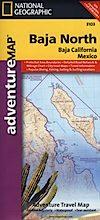
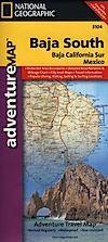
Baja California, North & SouthNatGeo Baja Maps

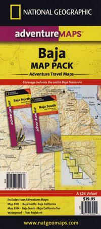
The Baja California Map Set from National Geographic. Includes both maps: Baja Norte & Baja Sur Maps. #3103 & #3104. Topographical features, towns, ranchos, main dirt roads, coves, beaches, fishing spots, surf spots, sailing; beautifully detailed. GPS compatible w/ full UTM grid. Printed on plastic in 2008. Waterproof, tear-resistant. ISBN# 9781597752237

Baja California Mexico, BC MX, Baja Norte, Baja Sur, Baja Maps, Map Set, Bundle, National Geographic Maps

avenza mapsget a digital version of this 2 map set
Baja Map Pack by NatGeo
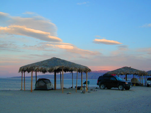
 

NatGeo Baja Maps

Gonzaga Bay, Baja California

NatGeo Baja Maps

Baja Norte NatGeo Mapbajanorte

Baja California Norte Map / Map of Baja Norte / Baja California

Baja California maps by National Geographic #3103. Baja Norte Map. This map covers the northern portion of Baja California Mexico. Topographical features, towns, ranchos, main dirt roads, coves, beaches, fishing spots, surf spots, sailing; beautifully detailed. GPS compatible w/ full UTM grid. Waterproof, tear-resistant. ISBN# 9781566952439

avenza mapsget a digital version of this map
NatGeo Map 3103 – Baja California North
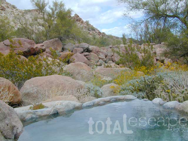
NatGeo Baja Maps

Guadalupe Canyon Hot Springs, Baja California

driftwood

Baja Sur NatGeo Map bajasur

Baja Road Map / Baja Sur Mexico Map

Baja Sur Map from National Geographic #3104. This map covers the southern portion of Baja California Mexico. Topographical features, towns, ranchos, main dirt roads, coves, beaches, fishing spots, surf spots, sailing; beautifully detailed. GPS compatible w/ full UTM grid. Waterproof, tear-resistant. ISBN# 9781566952446

avenza mapsget a digital version of this map
NatGeo Map 3104 – Baja California South
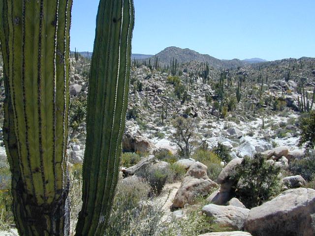
NatGeo Baja Maps

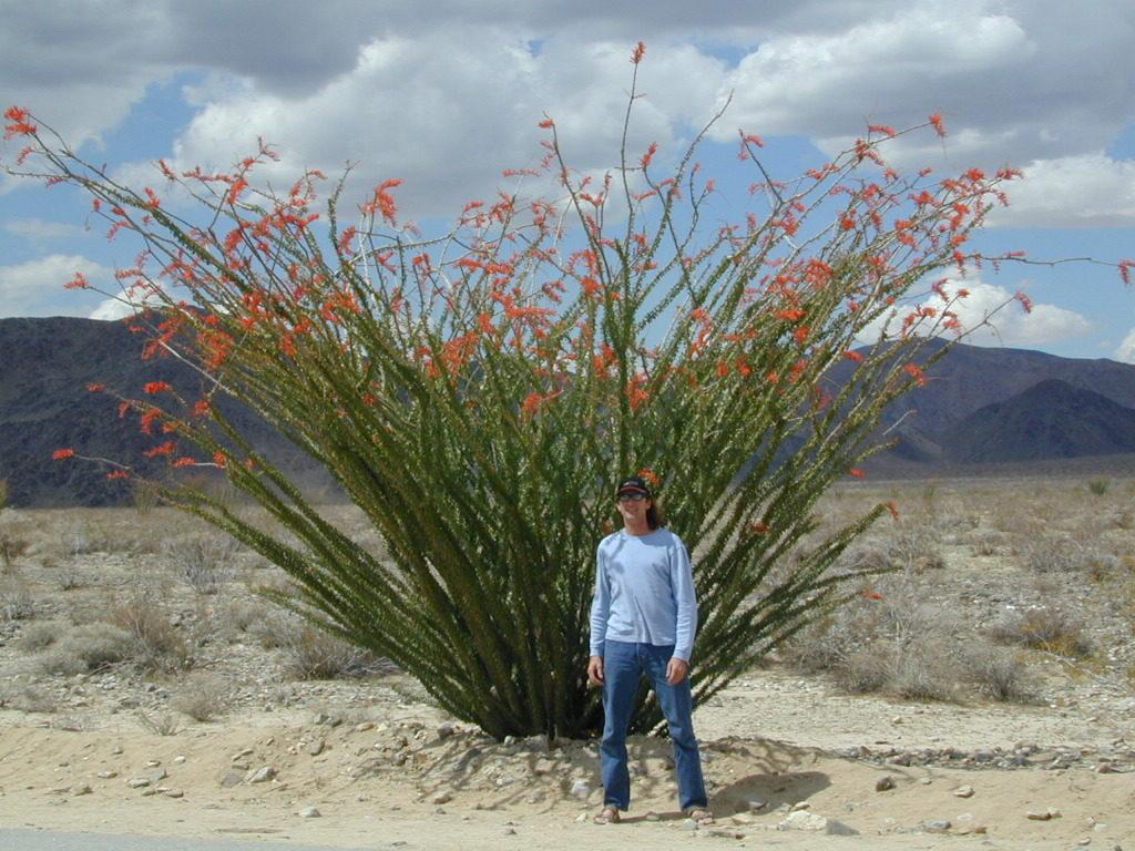
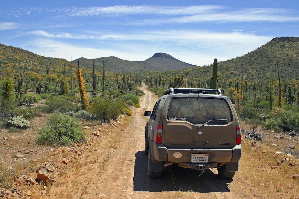
Cacti at Catavina

NatGeo Baja Maps

NatGeo Baja Maps

Todos Santos, Baja California Sur

see also – 

Anza Borrego Desert Map
Baja California Almanac
San Diego Backcountry Map

bajarigready

Verdugo Map

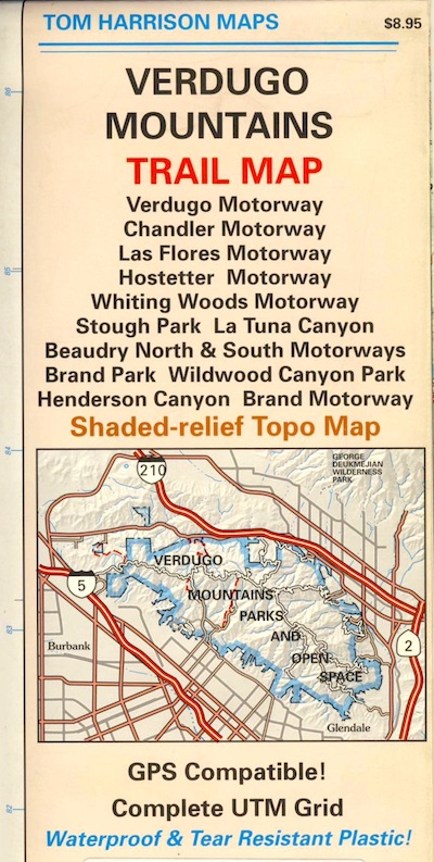
Verdugo Mountains Map

Verdugo Mountain
by Tom Harrison Topo Maps

Verdugo Hills Map / Angeles Hiking Map / L.A. Hikes

Verdugo Mountains Map

Amazon is displaying a Mount Baldy map image for this Verdugo Mountains Map. Not sure why! There is a newer version of this map.

Tom Harrison Trail Map: Los Angeles County Hiking Trails, LA Hikes Chandler, Los Flores, Hostetter, Whiting Woods, Stough Park, La Tuna Canyon, Beaudry Brand Park, Wildwood Canyon, Henderson Canyon, L.A. Hiking. Durable, waterproof plastic map; Folded. Map Scale: 24K; ISBN# 9781877689925

Verdugo Mountains Map


see also –

Cheeseboro Canyon Map
Malibu Creek Map
Santa Monica Mountains Map
Topanga Canyon Map