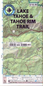
Tahoe Rim Trail Map
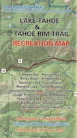
Lake Tahoe Recreation Map
by Tom Harrison Maps
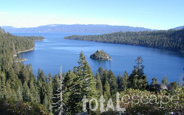
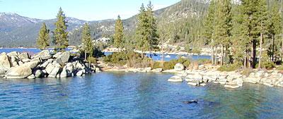
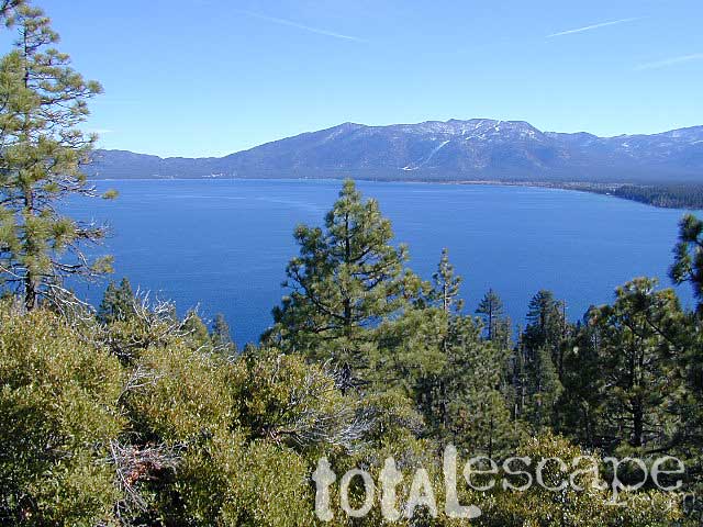
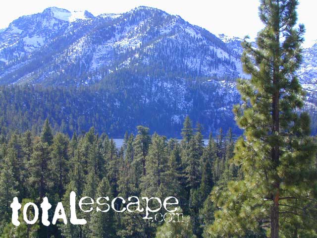
California’s Jewel of the Sierra
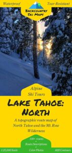
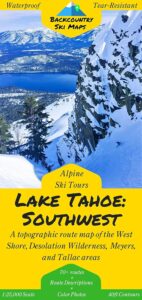
Tahoe Rim Trail Topo Map: Lake Tahoe Recreation Map, Tahoe Topo Maps, Hiking Trails Backpacking Maps, Lake Tahoe Hikes; Meeks Bay, Martis Peak, Tahoe Rim Trail, King Beach, Emerald Bay, Granlibakken, Spooner Lake, Martlett Lake, Tahoe Meadows, Desolation Wilderness Trails, Sugar Pine Point, South Lake Tahoe, Alpine Meadows, Fallen Leaf Lake Hiking Trails. Durable, waterproof plastic map; Folded. Map Scale: 72K; ISBN# 9781877689598
PREVIOUS EDITION
![]() download digital versions of this map
download digital versions of this map
Tahoe Rim Trail Maps
Lake Tahoe Rim Trail Map (East/NV)
Lake Tahoe Rim Trail Map (West/CA)
![]()
 TRT
TRT
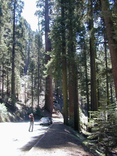
The Tahoe Rim Trail is 165 miles of single-track trail that circum-navigates perimeter of Lake Tahoe, CA. while passing through 2 states, 6 counties, one state park, 3 national forests, and 3 wilderness areas. Forty-nine miles overlap with the Pacific Crest Trail. A network of additional trails connects to this popular rim trail.
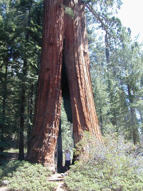
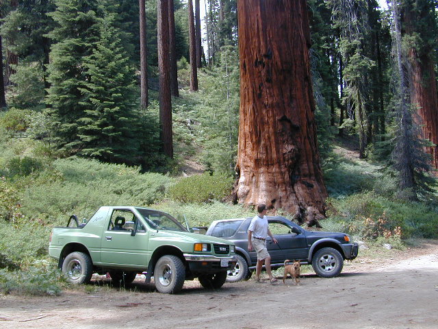
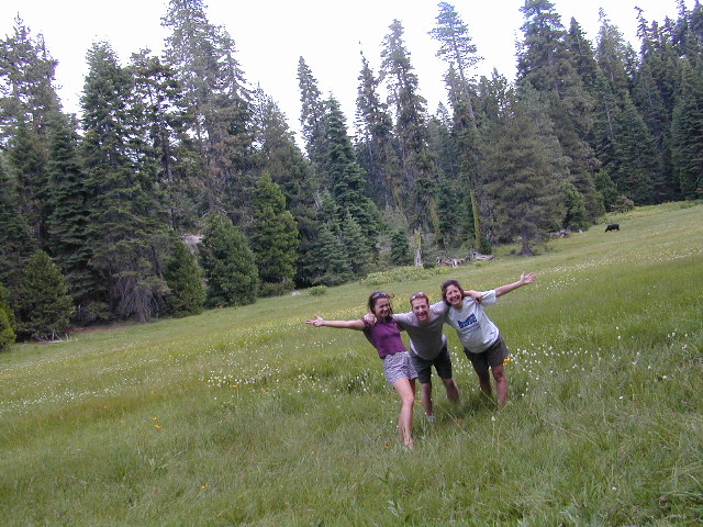
Elevations along the trail range from 6,300′ at Tahoe City to 10,338′ at the top of Relay Peak. Numerous creeks and lakes, ridges and meadows, conifer forests, scree slopes and alpine terrain with wildflowers.
 There are 10 official trailheads that access the eight trail segments which form a continuous loop in the mountains above the lake. The segments range from 12.2 to 32.5 miles in length. Unofficial entry points also provide a means of getting onto the trails. Trail conditions are best during the usually snow-free months of July through October, and the height of the wildflower bloom is usually July and August.
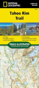
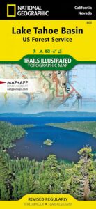
National Geographic Maps also makes a trail map for Tahoe Rim Trail.
Lake Tahoe Rim Trail, Sierra Nevada, California
- day hikes
- mountain bike
- backpacking
- horseback trails
- meadows
- wildflowers
see also –
Tahoe National Forest Maps
Tahoe Topo Atlas
Tahoe Basin USDA Map
Lake Tahoe Maps
4×4 Routes Tahoe Map
 Many believe that Lake Tahoe was formed by the collapse of an ancient volcanic crater, but the natural lake and mountain basin was actually formed by the rise and fall of the landscape due to faulting.


