Sequoia Forest Topo Atlas

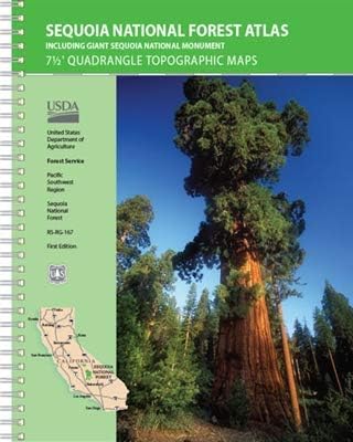
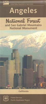
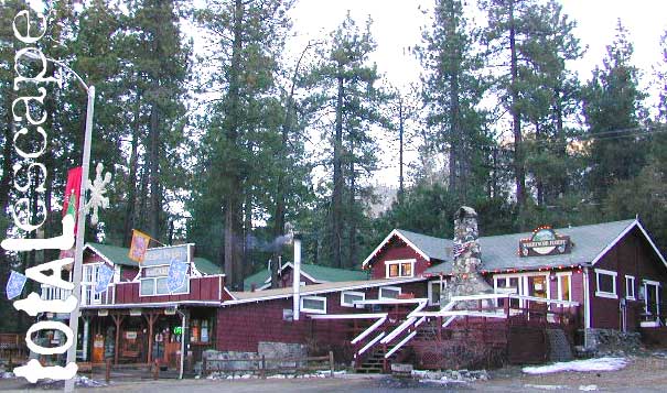
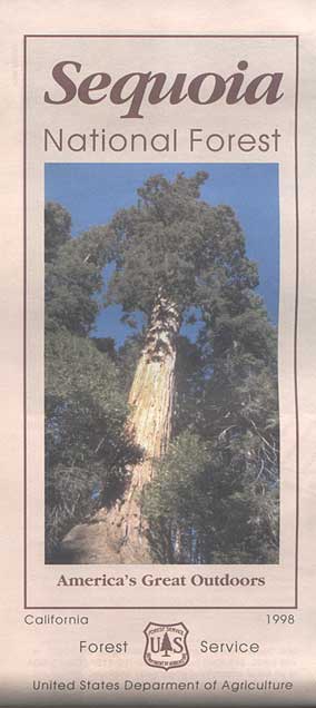
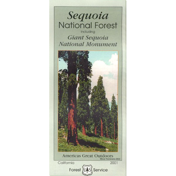
Sequoia Topographic Atlas

Sequoia Topo Map Atlas

sequoia topo atlas

Sequoia Forest Topo Atlas Map is book for the outdoor explorer. Featuring the Kern River Canyon, Lake Isabella, Western Divide Highway, Giant Sequoia, including the Southern Sierra Nevada Mountains. Most importantly the popular Giant Sequoia Groves on the Western Divide, plus Big Meadow Road and the gorgeous gem of Hume Lake

Sequoia National Forest

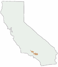
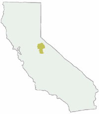
Southern Sierra Nevada Map, Sequoia Hiking Trails, Kern River to the Sequoia National Park and Kings Canyon National Park boundaries. Includes the Giant Sequoia National Monument, Kern and Tulare County.

Sequoia Topo Map
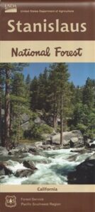
Sequoia Forest Topo Atlas USDA

The SEQUOIA atlas is a spiral bound book – a collection of all the quads. (7.5 minute topographical maps, of all of Sequoia National Forest) This book map has contour lines, mountain peaks, streams, lakes, hiking trails & back roads. This map book is perfect for all kinds of recreational needs. Printed in 2019.

Topographic Atlas for Sequoia GrovesAreas include: Southern Sierra, Kern Canyon, Hwy. 178, Walker Pass, Kernville, Lake Isabella, Sugarloaf, Domelands, Kern River, Kennedy Mdws, Sherman’s Pass, Monache Mdws, South Sierras, Rincon, Canebrake, Dome Rock, The Needles, Western Divide, Giant Sequoia National Monument, Ponderosa, Springville, Tule River, Mountain Home State Forest, Jennie Lakes Wilderness, Golden Trout Wilderness. It also features the surrounding areas to the Kings Canyon & Sequoia National Parks, plus it has the Kern River Canyon with notable hot springs such as – Miracle, Remington, Democrat, and the historic California Hot Springs.

Hike Map for Sequoia Forests


California Sequoia Parks Sequoia region towns:

Sequoia National Forests

Camping Maps Sequoia

Sequoia National Forest QUADS:
from south to north –
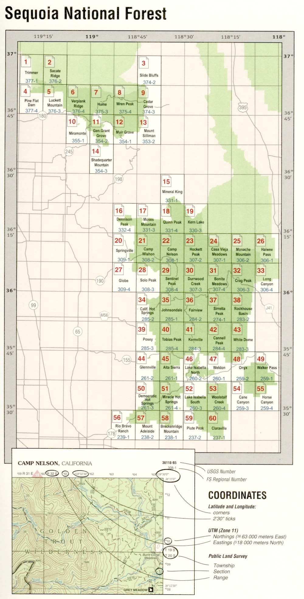
Topo Alas Quads Sequoia


Topo Atlas Giant Sequoia

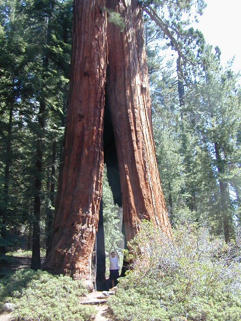
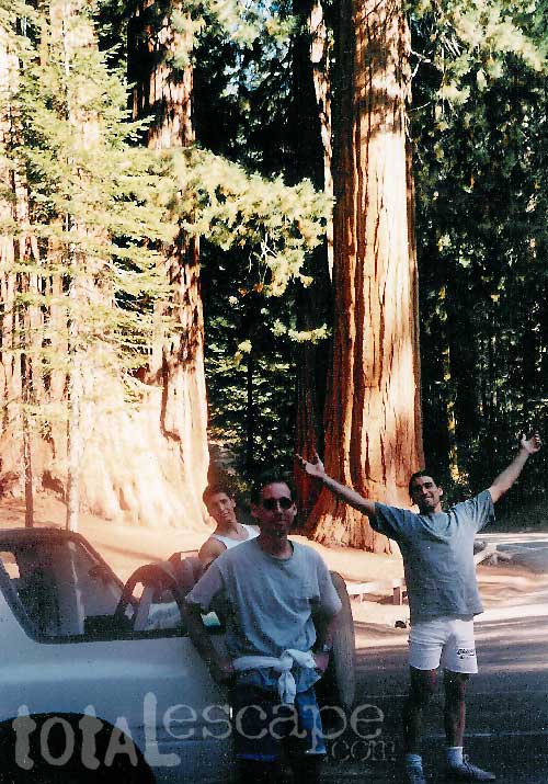
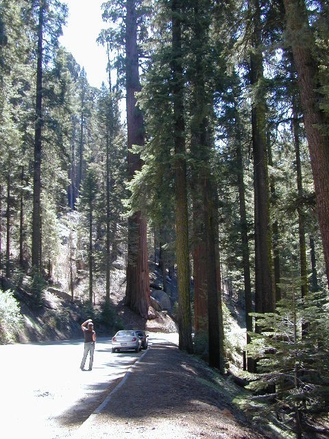
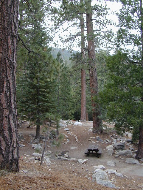
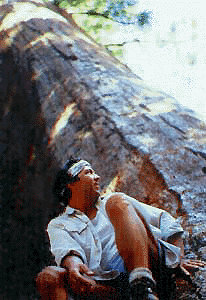
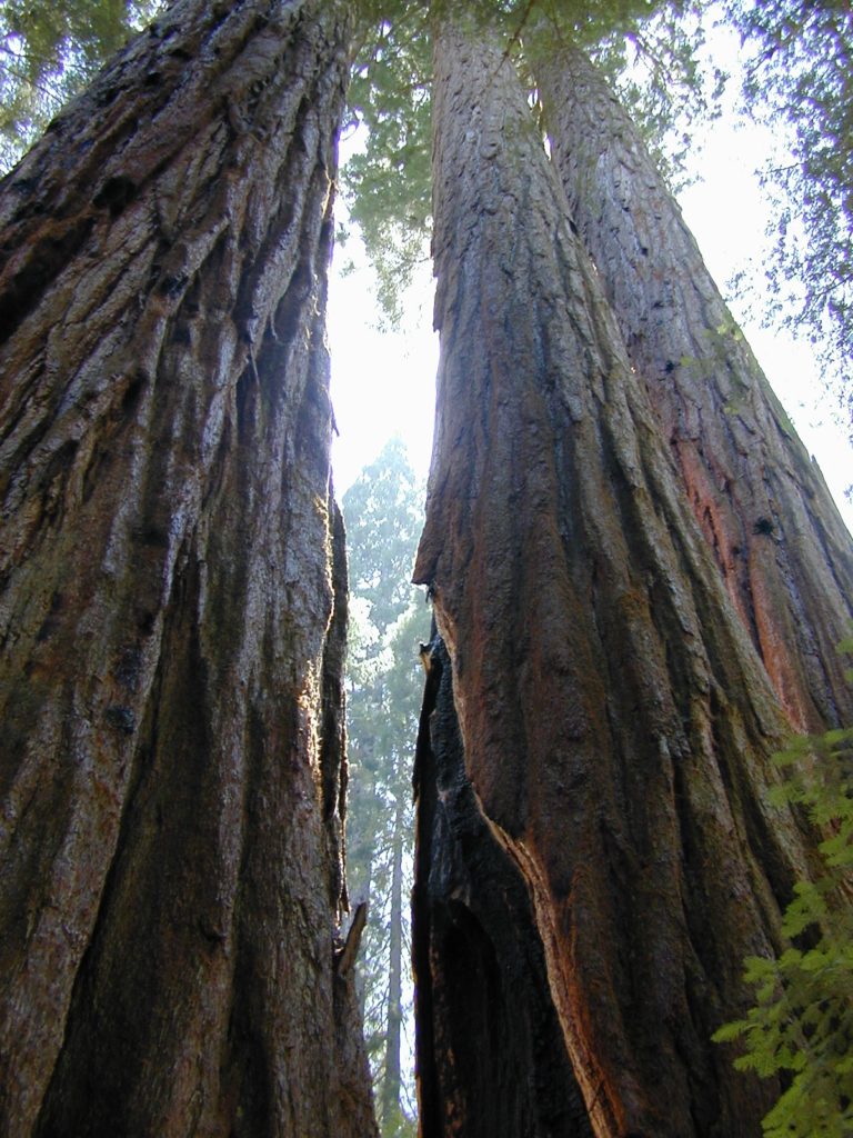
Giant Sequoia Trees on Western Divide Highway

Camping Maps

Picnic Hike Sequoia Map

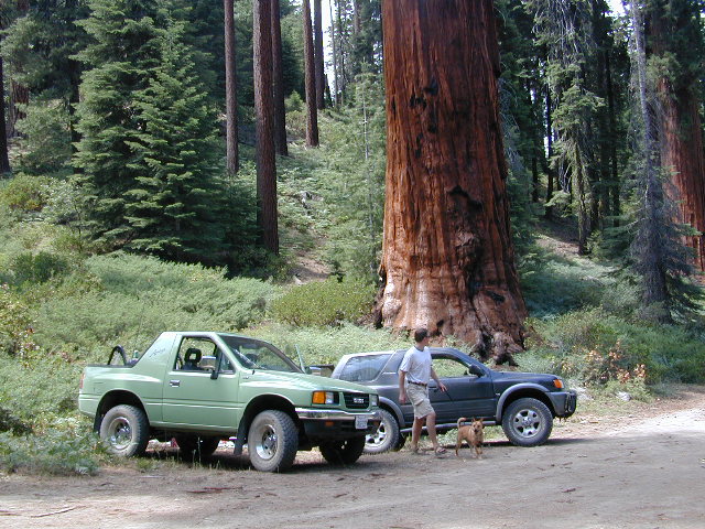
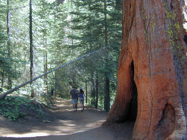
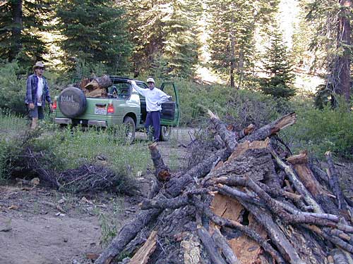
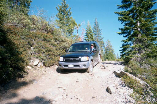
Hidden Sequoia Groves can be found on the back roads.

horseback trail maps


Sequoia Meadow Hiking Map

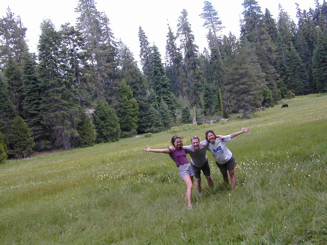
Meadows, mountains and much more

Angeles National Forest Map

Angeles National Forest Map

Angeles National Forest Map

USDA angeles NF

hikers mapNFS – USDA – U.S. Forest Service

Angeles Crest Highway 2 / San Gabriel Mountains
Angeles Forest / San Gabriel National Monument

Angeles National Forest
USGS map California: Angeles Map. San Gabriel Mountains, Mount Wilson, Castaic, Angeles Crest, Chilao, Buckhorn, Crystal Lake, Wrightwood
Angeles National Forest Map
Angeles National Forest Map: WATERPROOF MAP plastic & tear resistant. Ranger Map – NFS issued map. GPS: Longitude & Latitude; Rivers, Creeks, Peaks, Elevations, 4WD & every dirt BackRoad, Hot Springs, Equestrian Areas, all Campgrounds, Hiking Trails & BackPacking Trailheads. Areas include: Chilao, San Gabriel Wilderness, Cucamonga Wilderness, Sheep Mountain, Lake Castaic, Mount Wilson, Castaic, Angeles Crest, Crystal Lake, Jackson Lake, Upper Big Tujunga, Little Tujunga, Mount Gleason, Mount Pacifico, Kratka, Cloudburst Summit, Lytle Creek, Chantry Flat, Bandito.

Quality USDA maps created for the National Forest Service. Size: 27″x 44″ overall / 4″x9″ folded; Printed on plastic in 2016. ISBN# 9781628114225

Angeles National Forest Map

OLDER VERSION

  • backpacking
  • campingsnow
  • hiking
  • mountain biking
  • picnicking
  • snow sledding
Angeles National Forest Map

Buckhorn Campground, on Angeles Crest Hwy

Angeles National Forest is registered as California Historical Landmark #717, for being the first National Forest in the state.

The Angeles National Forest covers a total of 700,176 acres, protecting large areas of the San Gabriel Mountains and Sierra Pelona Mountains. It is located just north of the densely inhabited metropolitan area of Greater Los Angeles.

While primarily within Los Angeles County, a small part extends eastward into southwestern San Bernardino County, in the Mount San Antonio (Mount Baldy) area, and a tiny section also extends westward into northeastern Ventura County, in the Lake Piru area.

The San Gabriel Mountains National Monument, established in 2014 and managed by the U.S. Forest Service, is largely within the Angeles National Forest.

The Angeles National Forest manages the habitats, flora and fauna ecosystems, and watersheds. Some of the rivers with watersheds within its boundaries provide valuable non-groundwater recharge water for Southern California. The existing protected and restored native vegetation absorb and slow surface runoff of rainwater to minimize severe floods and landslides in adjacent communities.

The land within the forest is diverse, both in appearance and terrain. Elevations range from 1,200′ to 10,064′. The Pacific Crest Trail crosses the forest.

see all Angeles Maps

see also –camp map
NatGeo Angeles Map #811
Angeles Forest Topo Atlas
San Gabriel Mountains Map
Mount Baldy Map
Mount Wilson Map
Cucamonga Wilderness Map 

Angeles National Forest Map

Wrightwood is located on the southern end of Angeles Crest Highway 2

Stanislaus National Forest Map

hiking trail mapExplore more of the Central Sierra Nevada Mountains with the Stanislaus National Forest Map, which covers forests on both sides of Highway 108, Sonora Pass. Gold Country foothills give way to wilderness peaks and secluded streams. California gets some serious snow up in this high country, so most areas are only accessible half the year. Plan accordingly.

stanislaus USDA

Sonora Pass Map

Stanislaus Forest Camping / Sonora Pass / Stanislaus River
Stanislaus Sonora Maps

CA 108 Stanislaus. Stanislaus Map. Calaveras, Northwest Yosemite, Spicer Reservoir, Union, Utica Lakes, Dodge Ridge, Bear Valley Ski, Lake Alpine, Hetch Hetchy

Stanislaus National Forest Map

WATERPROOF PLASTIC MAP; water & tear resistant. Ranger Map – NFS issued map. GPS: Longitude & Latitude; Rivers, Lakes, Reservoirs, Creeks, Mountain Peaks, Elevations, 4WD routes and every dirt Back Road. Furthermore this map features Equestrian Areas, all Campgrounds, Picnic Grounds, Sierra Viewpoints, in addition to Hiking Trails & BackPacking Trailheads.

fishing map

Areas include: Gold Country California, Stanislaus County, Northwest Yosemite, Columbia, Sonora, Groveland, Twain Harte, Calaveras Big Trees, Hathaway Pines, Carson Iceberg Wilderness, Mokelumne Wilderness, Emigrant Wilderness, Cherry Lake, Pinecrest Lake, Spicer Reservoir, Donnell Lake, Tuolumne River, Merced River, Dodge Ridge, Bear Valley Ski, Lake Alpine, Hetch Hetchy, Union Lake, Utica Reservoir, Salt Springs Reservoir, Beardsley Lake, State Game Refuge, Mi-Wuk Village.

USDA Map Stanislaus

OLDER VERSION

see also

Carson Iceberg Wilderness Map
Emigrant Wilderness Map
Fishing Maps for California
Merced and Tuolumne Rivers Map
Stanislaus Forest Topo Atlas

Sonora Pass Camping Maps

stanislauspak

Stanislaus National Forest Map and Sonora Pass: Backpacking, Camping, Fishing, Hiking, Kayaking, Off Roading, Stargazing and Rock Climbing

Gold Country California

Stanislaus National Forest
Stanislaus River

nearby towns:stanislaus horseback trail map

Sequoia National Forest Map

Sequoia Mapssierra redwoods map

NFS – USDA – U.S. Forest Service

Sequoia National Forest Map

Kern River Canyon, Upper Kern, Lower Kern, Kern Plateau, Western Divide Highway, The Needles, Mountain Home SF, Sequoia National Park, Kings Canyon NP

River Raft Launch Spots, All Creeks, Peaks, Elevations, 4WD & every dirt Back Road, Hot Springs, Equestrian Areas, all Campgrounds, Hiking Trails & Backpacking Trailheads.
Sequoia Forest Maps
Areas include: Southern Sierra, Giant Sequoia, Western Divide Highway, Kern Canyon, Hwy. 178, Walker Pass, Kernville, Lake Isabella, Sugarloaf, Domelands, Kern River, Kennedy Mdws, Sherman’s Pass, Monache Mdws, South Sierras, Rincon, Canebrake, Dome Rock, The Needles, Western Divide, Ponderosa, Springville, Tule River, Jennie Lakes Wilderness, Golden Trout Wilderness, surrounding areas to Kings Canyon & Sequoia National Park, Miracle, Democrat, California Hot Springs.

Map Size: 28″x 54″ overall / 4″x9″ folded; Printed on waterproof plastic in 2011. ISBN# 9781593515096


sequoia grove map

USDA map

1998 Sequoia NF Map

Sequoia National Forest Maps
previous versions of this map:

Giant Sequoia Map

2001 Giant Sequoia Map USDA

see also
Sequoia Forest Topo Atlas
Sequoia National Park Maps
Mineral King Map
Dome Land Wilderness Map
Southern Sierra Wilderness Map
Golden Trout Wilderness Maps
Kern Recreation Map

Best Kern River Camping, Western Divide Giant Sequoia, Southern Sierra Nevada Mountains

topo maps south sierra

2022: Recent wildfires have taken a huge toll on the Sequoia groves of the Western Divide (Southern Sierra) and ancient groves inside the National Parks (Central Sierra). Forests all around Alta Sierra, California were burnt, as well as the paved route to Jerky Meadows.  Campgrounds could be closed, dirt roads gated and locked; hiking trails off limits. Visit the Sequoia National Forest web site for up-to-date info regarding closures.

horse trail maps

Sequoia & Kern River Links

Big Meadow Sequoia
Dispersed Camping Sequoia 
Kern Flats Free Camping
Kern River Campgrounds
Kern River Camping
Kern River Canyon
Kern River Hot Springs
Lloyds Meadow Rd
Sequoia NF Camping
Sequoia OHV
Trail of 100 Giants Grove
Mountain Home State Forest

SequoiaSUV

Toyota Sequoia SUV 4×4

Kern River Camping, Giant Sequoia Park:

Sequoia National Forest

Giant Sequoia Pair

Giant Sequoia Pair