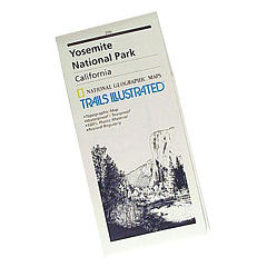
NatGeo Map #306
Yosemite SW – Wawona & Yosemite Valley
Yosemite Southwest Map
Wawona Map – CA Highway 41: NatGeo Trails Illustrated Yosemite SW, Wawona Map #306. Yosemite Valley, Half Dome, Vernal Fall, Glacier Point, Tamarack Flat, Mariposa Grove, Chilnualna Falls, White Wolf, Merced River, Bridalveil Fall, Chowchilla Mountains, El Capitan, Illilouette Falls, Lower Yosemite Fall, Nevada Fall, Ribbon Fall, Sierra National Forest, Silver Strand Falls, Stanislaus National Forest, Upper Yosemite Falls. Yosemite South Entrance @ California SR 41
1:40,000 scale; GPS Compatible, Full UTM Grid. 2 sided. Waterproof map. ISBN# 9781566953627

Valley Oaks in Yosemite NP

OLDER EDITION
nearby destinations –
see also –
All NatGeo Yosemite Maps


