Dinkey Lakes Map
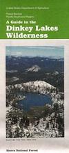
Dinkey Wilderness Map USDA
currently unavailable on Amazon. may be available at local ranger stations
Dinkey Lakes Wilderness Map / Dinkey Lakes Trails / Dinkey Creek Camping
Dinkey Creek and the hike-in only, wilderness lakes are part of a bigger Sierra National Forest
 Perfect for a day hike reference or extended backpacking adventures. Scale = 2″ to mile; Usually only found at Ranger Stations – Hard to find maps. Printed on paper; Last updated in 1991.
see also –
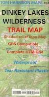
Dinkey Lakes Wilderness Trail Map by Tom Harrison
CREEK FIRE 2020: Much of the Sierra National Forest was badly burned in a recent wildfire, but this Dinkey Creek area was spared. The huge fire moved the other direction – from Shaver Lake north and then eastward.
That means this Dinkey Creek Area may become more popular, along with high elevation lakes – Courtright and Wishon Reservoirs – now that this the only unburnt region around.
At least the nearby Sequoia trees in the McKinley Grove didn’t go up in flames.
NOTE: Much of the Sierra National Forest may be closed to the public (for years) due to forest hazards, loggers working, and general fire cleanup. Contact the local USFS Ranger station at Tollhouse to find out what areas are indeed open.

4×4 Fun – Minimal Snow, Maximum Mud


