Stanislaus National Forest Map

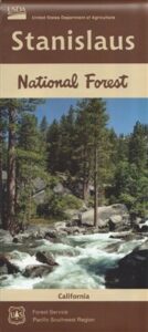
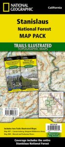
hiking trail mapExplore more of the Central Sierra Nevada Mountains with the Stanislaus National Forest Map, which covers forests on both sides of Highway 108, Sonora Pass. Gold Country foothills give way to wilderness peaks and secluded streams. California gets some serious snow up in this high country, so most areas are only accessible half the year. Plan accordingly.

stanislaus USDA

Sonora Pass Map

Stanislaus Forest Camping / Sonora Pass / Stanislaus River
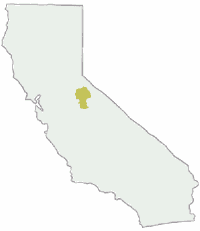
Stanislaus Sonora Maps

CA 108 Stanislaus. Stanislaus Map. Calaveras, Northwest Yosemite, Spicer Reservoir, Union, Utica Lakes, Dodge Ridge, Bear Valley Ski, Lake Alpine, Hetch Hetchy

Stanislaus National Forest Map

WATERPROOF PLASTIC MAP; water & tear resistant. Ranger Map – NFS issued map. GPS: Longitude & Latitude; Rivers, Lakes, Reservoirs, Creeks, Mountain Peaks, Elevations, 4WD routes and every dirt Back Road. Furthermore this map features Equestrian Areas, all Campgrounds, Picnic Grounds, Sierra Viewpoints, in addition to Hiking Trails & BackPacking Trailheads.

fishing map

Areas include: Gold Country California, Stanislaus County, Northwest Yosemite, Columbia, Sonora, Groveland, Twain Harte, Calaveras Big Trees, Hathaway Pines, Carson Iceberg Wilderness, Mokelumne Wilderness, Emigrant Wilderness, Cherry Lake, Pinecrest Lake, Spicer Reservoir, Donnell Lake, Tuolumne River, Merced River, Dodge Ridge, Bear Valley Ski, Lake Alpine, Hetch Hetchy, Union Lake, Utica Reservoir, Salt Springs Reservoir, Beardsley Lake, State Game Refuge, Mi-Wuk Village.
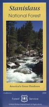
USDA Map Stanislaus

OLDER VERSION

see also

Carson Iceberg Wilderness Map
Emigrant Wilderness Map
Fishing Maps for California
Merced and Tuolumne Rivers Map
Stanislaus Forest Topo Atlas
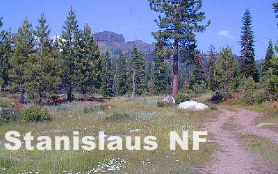
Sonora Pass Camping Maps

stanislauspak

Stanislaus National Forest Map and Sonora Pass: Backpacking, Camping, Fishing, Hiking, Kayaking, Off Roading, Stargazing and Rock Climbing

Gold Country California

Stanislaus National Forest
Stanislaus River

nearby towns:stanislaus horseback trail map

Gold Country Books

The Gold Rush of California

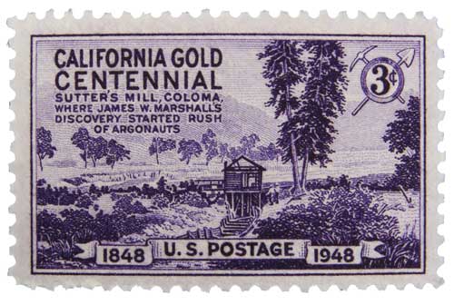
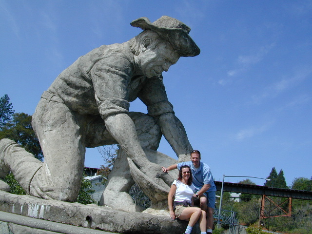
california independentThe largest migration in world history, of Overland pioneers traversing the continent on foot with wagons and horses, took place right here – beginning in 1848. The discovery of the precious metal gold, that set this rolling, was centered around the western Sierra rivers and mountains of California. The migration west began much earlier, but it increased dramatically after the news spread.

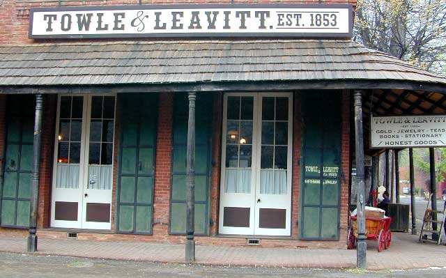
Gold Country Books can relate the historic details of yesteryear.

Within only a decade the entire West Coast was transformed into a developed landscape, with people coming from all over the world to stake out their claims, dreaming of fortunes or simply, just to find work and create a new life. Hence, California became a U.S. state in 1850. Consequently, the railroads followed soon after.

Find Gold Country Maps

Gold Rush Map Books

Columbia State Historic Park, California

California’s Gold Country Books

Gold Country Books

Coloma Gold Centennial Stamp 1948

Our Favorites on California History

Little did I know what pleasure reading California historical books would bring me in my middle years of life. Transport yourself to the dusty trails and hardships of Overland pioneer life, or imagine a two year journey sailing around the bottom of South America to reach this desolate coast in the early 1800’s. Read these books below to get a glimpse into an Old California story. One you can only dream about, knowing what has become of it today.

Gold Country Books

Gold Country Goofballs in Auburn, CA

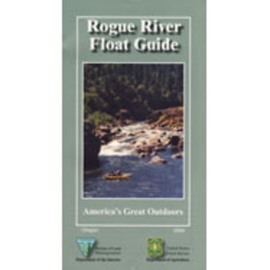
Rogue River Guide Book

Rogue River Map Booklet

Rogue River Guiderogue river guide

Tubing Oregon – Rogue River. Raft, float, paddle, camp, fish or hike.

Float tube, kayak, river rafting details for southern Oregon’s Rogue River. Every rapid, every camp site, every creek, swimming holes, fishing spots, mile by mile; Well laid out visual maps & information in this handy booklet. Printed on paper in 2004. BLM & USFS printing.

2022 currently unavailable on Amazon; might still be found at local ranger stations

Rogue River Map Book, Oregon Float Guide, Tubing
Kayak, Raft, Creek, BLM, USFS, USDA

fish

Rogue River Float Guide

Rogue River Float Guide Booklet (USFS & BLM)

canoe

Rogue River National Wild and Scenic River

hiker

Rogue River in located within the state of Oregon, just above the state line of California. Flowing westward, the river joins the Pacific Ocean at Gold Beach, Oregon.

The Rogue River in southwestern Oregon flows about 215 miles in a generally westward direction from the Cascade Range to the Pacific Ocean. Known for its salmon runs, whitewater rafting, and rugged scenery, it was one of the original eight rivers named in the Wild and Scenic Rivers Act of 1968.

Beginning near Crater Lake, which occupies the caldera left by the explosive volcanic eruption and collapse of Mount Mazama, the river flows through the geologically young High Cascades and the older Western Cascades, another volcanic province.

Further west, the river passes through multiple exotic terranes of the more ancient Klamath Mountains. In the Kalmiopsis Wilderness section of the Rogue basin are some of the world’s best examples of rocks that form the Earth’s mantle. Near the mouth of the river, the only dinosaur fragments ever discovered in Oregon were found in the Otter Point Formation, along the coast of Curry County.

Rogue River Float Guide

see also –

Rogue River National Forest Map
Red Buttes Wilderness Map
Columbia River Map
Oregon Dunes Map 
PCT Map #7 Southern Oregon
PCT Map #8 Northern Oregon

Marble Mountain Wilderness Map

Marble Mountain / Russian Wilderness Map

Marble Mountain Wilderness MapMarble Mountain Wilderness Map USDA

Marble Mountain Wilderness Map

Klamath River / Marble Mountains / Russian Wilderness
Marble Mountain Wilderness

Klamath National Forest

Marble Mountain Wilderness Map

OLDER VERSION

Yreka, Happy Camp, Klamath River, Salmon River, Scott River, Fort Jones, Orleans, Cuddihy Lake, Upper Albert Lake, Russian Wilderness.

Perfect for a day hike reference or extended backpacking adventures. 1″ & 2″ to mile; Waterproof plastic map paper. This map can usually be found at local Ranger Stations. ISBN# 9781593514204

NorCal:
best guide book for wild

Cliff Lake Backpacking Trip, Marble Mountain Wilderness, California, Aug 2007

horse trail mapsThe Marble Mountain  Wilderness is an area of high divides, deep canyons and perennial mountain streams provides habitat for a wide variety of plant and animal life. With more than 7,000 feet of vertical relief, soils from several rock types, and abundant rain and snowfall, the diversity of ecosystems is unequaled anywhere else in the country.

fishing mapWith 89 lakes and two major Wild and Scenic river systems – Wooley Creek and the North Fork Salmon River, as well as 32 miles of the Pacific Crest Trail, there are many recreation opportunities. Elevations range from 400 to 8,299 feet; the wilderness has highly variable terrain with low-elevation canyons and high ridges such as the 22-mile-long English Peak ridge.

Popular activities include fishing, backpacking, mountaineering, rock climbing, and cross-country skiing.

camp map

There are also numerous caves within this wilderness, accessible to prepared spelunkers. They all feature stalactites and other flowstone formations, and are accessible mostly by vertical drops. Due to the hidden nature of most of the cave mouths, caving is not regulated, though the Forest Service and National Speleological Society request only experienced cavers attempt to access these dangerous caves. Signs at the trail heads that access the Marble Rim warn of white nose syndrome. One of the deepest caves in the continental US is located in the wilderness, Bigfoot Cave.

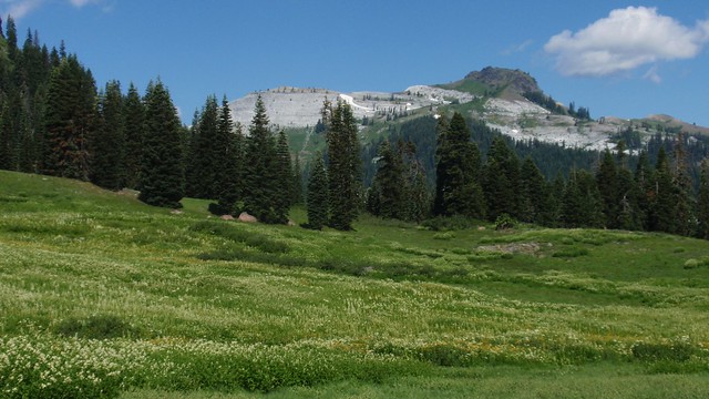
Sky High Basin 05

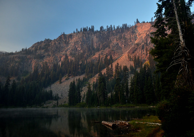
Summit Lake