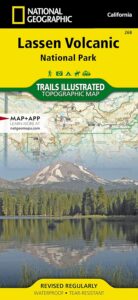
NatGeo Lassen Volcanic Map
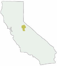
Northern California:
Lassen Volcano National Park
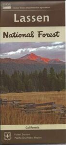
Lassen National Forest
Lassen Lakes
Lassen Camping
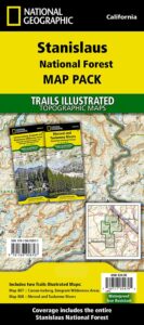
National Geographic Maps are full color, waterproof plastic; 2-sided, updated regularly. Campgrounds, trailheads, all roads, rivers, creeks, lakes. Trails Illustrated, National Geographic Map #268; 4.1 x 0.3 x 9 inches; ISBN# 9781566956796
 Lassen National Forest surrounds Lassen Volcanic National Park. Lake Almanor, Susanville, Fall River Mills, Burney Falls, Juniper Lake, Drakesbad Ranch, Bucks Lake Wilderness NatGeo w/ GPS: Longitude & Latitude; Rivers, Creeks, Peaks, Elevations, 4WD & every dirt BackRoad, Hot Springs, Equestrian Areas, all Campgrounds, Hiking Trails & BackPacking Trailheads.
![]() Lassen National Forest
Lassen National Forest
![]() Lassen National Park
Lassen National Park

Eagle Lake, Susanville, CA
 Areas include: Northern California, Butte County, Tehama County, Shasta County, Plumas County, Lassen County, Burney, Ahjumawi Lava Springs State Park, Thousand Lakes Wilderness, Manzanita Lake, Mineral, Shingletown, Ponderosa Sky Ranch, Hwy. 89, Hwy. 36, Lassen Volcanic Peak, Stover Mountain, Feather River.
- BURNEY
- CHESTER
- FALL RIVER MILLS
- LAKE ALMANOR
- EAGLE LAKE
- LAKE DAVIS
- MINERAL
- OLD STATION
- PAYNES CREEK
- SUSANVILLE
- WESTWOOD
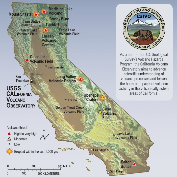
USGS Volcano California
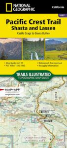
PCT Map Lassen
see also –
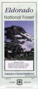
Lassen National Forest Map USDA
Lassen Forest Topo Atlas
Ishi Wilderness Map


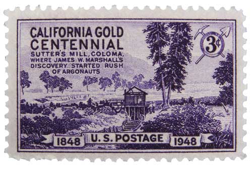
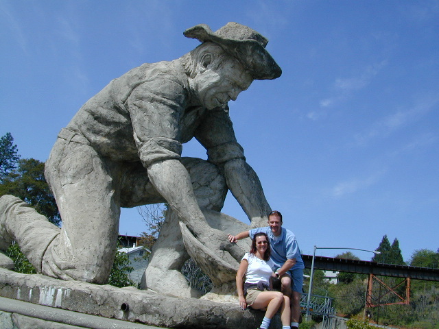
 The largest migration in world history, of Overland pioneers traversing the continent on foot with wagons and horses, took place right here – beginning in 1848. The discovery of the precious metal gold, that set this rolling, was centered around the western Sierra rivers and mountains of California. The migration west began much earlier, but it increased dramatically after the news spread.