6 Rivers Atlas Topo USDA
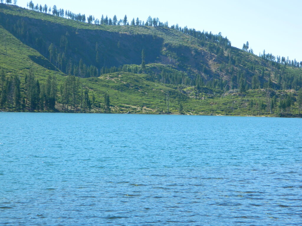
Six Rivers National Forest
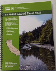
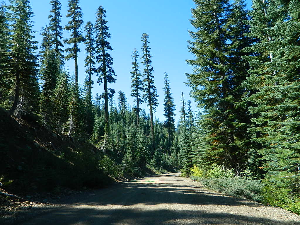
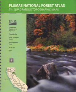
The 6 RIVERS atlas, is a spiral bound book – a collection of all the quads. (7½ minute topographical maps, of all of Six Rivers National Forest, California) This book map has detailed topo lines, mountain peaks, streams, lakes, hiking trails & back roads. Perfect for all kinds of recreational needs. These particular maps are on a per order basis, meaning most have to be special ordered from the ranger – which takes about a week to get them. USDA Forest Service book atlas.
Six Rivers National Forest QUADS:
from south to north –
- Four Corners Rock
- Long Ridge
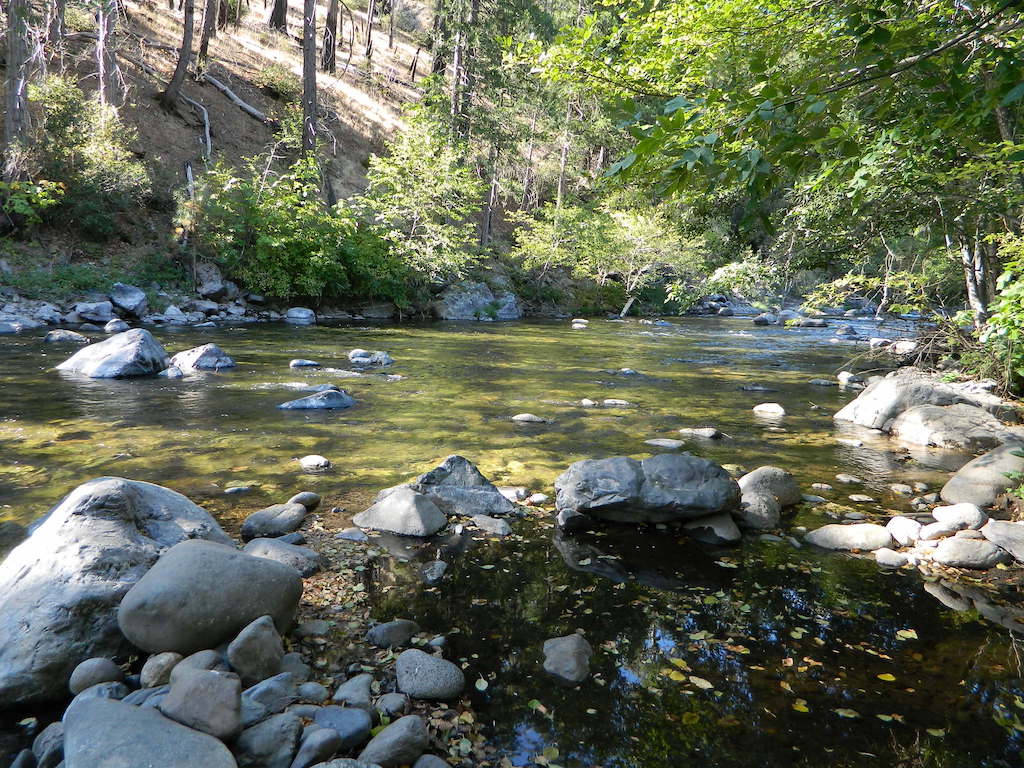
- Lake Mountain
- Swim Ridge
- Shannon Butte
- Zenia
- Alderpoint
- Smokey Creek
- Forest Glen
- Ruth Lake
- Black Lassic
- Sporthaven
- Dinsmore
- Showers Mountain
- Blake Mountain
- Hyampom
- Hyampom Mountain
- Sims Mountain
- Board Camp Mountain
- Mad River Buttes
- Ironside Mountain
- Hennessy Peak
- Grouse Mountain
- Maple Creek
- Denny
- Salyer
- Willow Creek
- Lord-Ellis Summit
- Trinity Mountain
- Tish Tang Point
- Hoopa
- Salmon Mountain
- Hopkins Butte
- Weitchpec
- Forks of the Salmon
- Orleans Mountain
- Orleans
- Fish Lake
- Johnsons
- Medicine Mountain
- Somes Bar
- Bark Shanty Gulch
- Lonesome Ridge
- Blue Creek Mountain
- Ah Pah Ridge
- Ukonom Lake
- Ukonom Mountain
- Dillon Ukonom
- Chimney Rock
- Summit Valley
- Klamath Glen
- Requa
- Prescott Mountain
- Ship Mountain
- Cant Hook Mountain
- Childs Hill
- Devils Punchbowl
- Hurdygurdy Butte
- Gasquet
- Hiouchi
- Broken Rib Mountain
- Shelly Creek Ridge
- High Plateau Mountain
- High Divide


see also –
Six Rivers NF Map
PCT Map Cascades

 Areas include: Northeastern California, Modoc County, Lassen County, Alturas, Tulelake, Cedarville, Adin, Lava Bed National Monument, Devil’s Garden Wetlands, Big Valley, Doublehead, Warner Mountain, Goose Lake, South Warner Wilderness, Medicine Lake, Big Sage Reservoir, Clear Lake Reservoir, Lower Klamath Lake, Tule Lake Sump, Door Knob Snowmobile Area, Long Bell State Game Refuge, Oregon border.
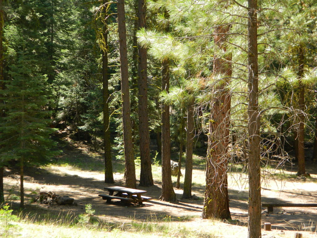


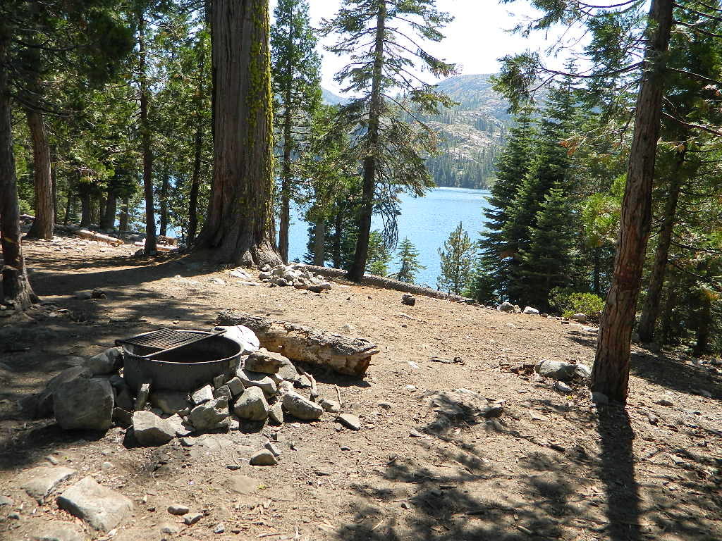
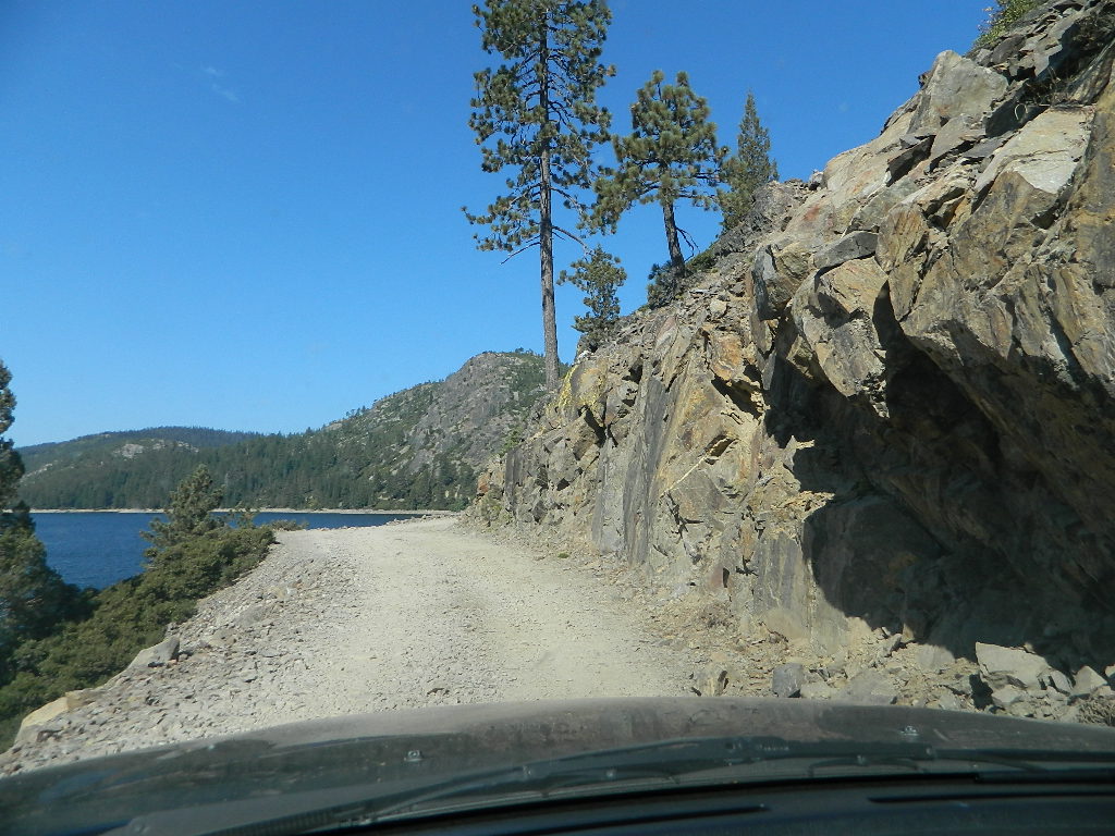
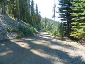
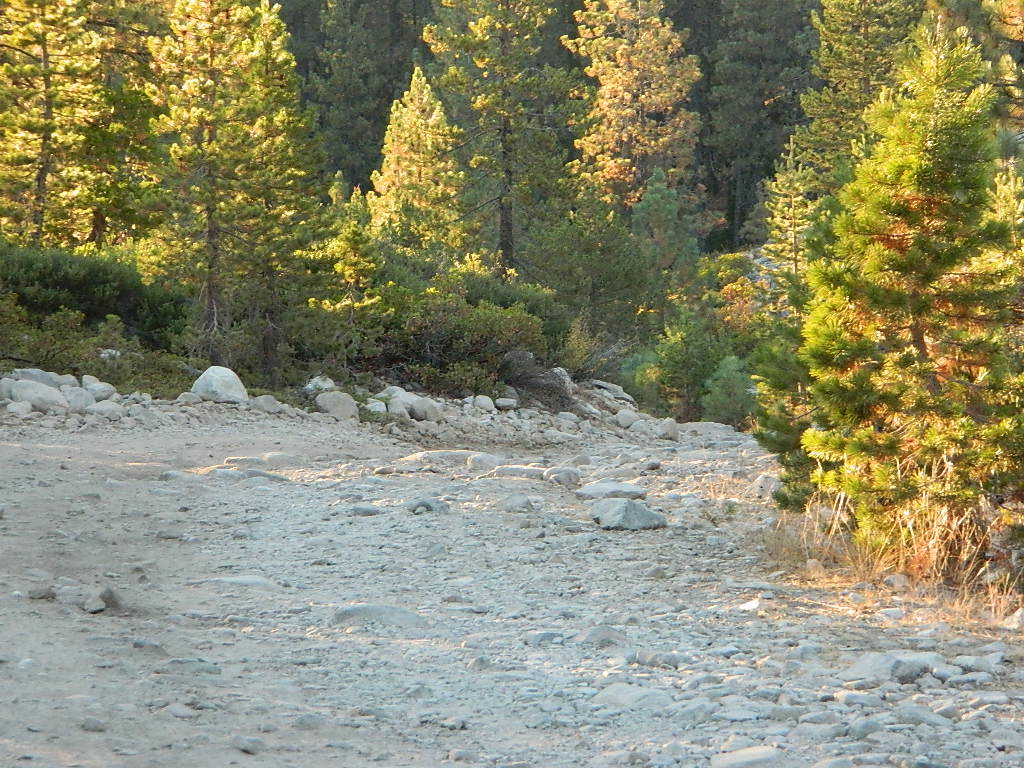
 4×4 Tahoe Trail Maps: Explore the 4WD (four wheel drive) dirt and gravel roads inside the Lake Tahoe region. Please follow the links listed at the bottom of this page for more Tahoe Maps.