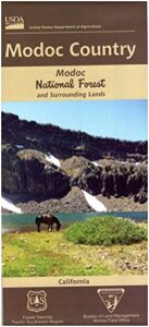
Modoc National Forest Map

Modoc NF Map
NFS – USDA – U.S. Forest Service

Modoc National Forest Map

Modoc Country
Northeast California
Pit River, Warner Mountains
Modoc National Forest Map

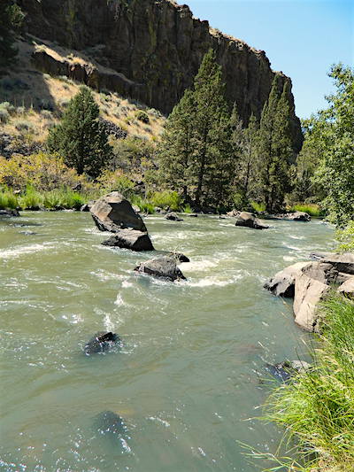
Pit River in Jess Valley

MODOC NF Map

Modoc Country Map. Modoc & Lassen County, Alturas, Tulelake, Cedarville, Warner Mountain, South Warner Wilderness

Standard Issue. Ranger Map – NFS issued map. GPS: Longitude & Latitude; Rivers, Creeks, Peaks, Elevations, 4WD & every dirt BackRoad, Hot Springs, Equestrian Areas, all Campgrounds, Hiking Trails & BackPacking Trailheads. Northeast CA state.
Modoc Map

OLDER VERSION

Modoc National Forest MapAreas include: Northeastern California, Modoc County, Lassen County, Alturas, Tulelake, Cedarville, Adin, Lava Bed National Monument, Devil’s Garden Wetlands, Big Valley, Doublehead, Warner Mountain, Goose Lake, South Warner Wilderness, Medicine Lake, Big Sage Reservoir, Clear Lake Reservoir, Lower Klamath Lake, Tule Lake Sump, Door Knob Snowmobile Area, Long Bell State Game Refuge, Oregon border.

Map Size: 39″x45″ overall / 4″x9″ folded; Printed on plastic.

see also – Modoc Topo Atlas

Modoc National Forest Map

Mill Creek Falls & Campground

Looking to escape the crowds in California? Then head north, way north, to the eastern reaches of Modoc. This remote, high-elevation area gets some serious winter weather and snow, so visiting during the warmer months would be ideal for -camping, backpacking, horseback riding, fishing, kayaking, hiking, hunting and off roading. Hundreds of miles of dirt roads weave in and out of dense forests, around lakes, over creeks and connect Alturas to Cedarville, CA

Northern California Forest / Modoc Country: Modoc National Forest

Wilderness areas in Modoc: South Warner Wilderness Map

Modoc National Forest Map

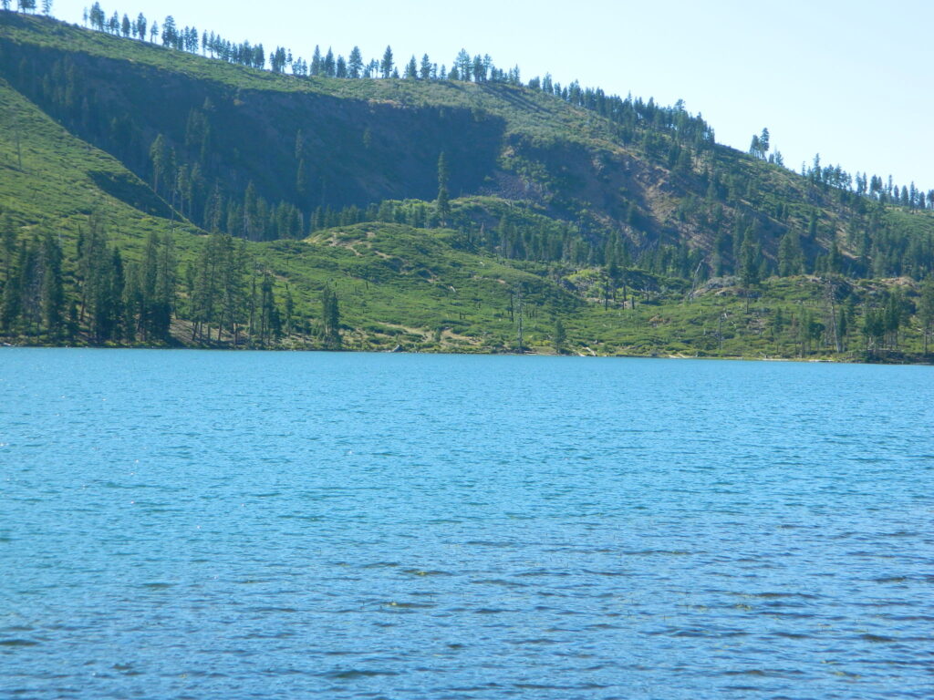
Blue Lake of Modoc NF

nearby towns:

Recreation Ads

Get Listed & Linked on California’s Total Escape

Recreation Listings for California


This advertising choice is for recreation businesses only; live link placed within Total Escape.com > RECREATION

Businesses include: kayak rental shops, horseback riding, mountain outfitters, limousines, wineries, bike rentals, marinas or cruises, RV campgrounds, hot air balloons, rock climbing guides, fly fishing professionals, snow ski resorts, 4×4 tours, scuba dive shops, motorcycle rentals, sightseeing bus charters, firewood dealers and so on. If you do not see a similar type of company listed on our vast web site, then find out first if a link is possible.

Recreation Listings for California

The image for ad can be a logo or a photo. JPG 200×200. Make your business listing really stand out with the best deal on the web. Listing your business with us will only help your web traffic and overall exposure with our ancient web site (online since 1996).

ANNUAL LISTING:
Best deal in California – Ads for Dirt Cheap!

Recreation Listings for California

Get more exposure directed to your website with a link from Total Escape. Online over 2 decades, we do have the traffic to drive you wild.

We get a million ‘page views’ per month and that number doubles in the summertime. Outdoorsy travelers find what they need on our California site. About 22% of our traffic is return visitors.

Advertise your travel industry related business with Total Escape. This is for an annual listing & link for a business website, local to California.

Mount Baldy Map

Mount Baldy Trail Map, Los Angeles

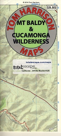
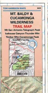
Mt Baldy & Cucamonga Wilderness Map
by Tom Harrison Maps

Baldy Map / San Gabriel Mountains Map / Cucamonga Wilderness

2022 currently unavailable on Amazon

Cucamonga Wilderness Hiking Map, Angeles National Forest, San Gabriel Forests, Lytle Creek Routes, Mount Baldy Ski Area, West Baldy, Devils Backbone, Mt. Baldy Trails, Manker Flats, Stockton Flats.

Mount Baldy Map

Previous Trail Map

Mount Baldy Map

OLD EDITION

Mount Baldy Map

photo by Chris DiNenna

see also –

Angeles Crest Map by NatGeo
Angeles National Forest Map
Angeles Forest Atlas
PCT Map #2 Angeles
San Gabriel Mountains Map

Washington Hiking Books

Washington Hiking BooksPNW
The Pacific Northwest region covers both Washington and Oregon, which are directly north of California. Abundant coastlines, waterways, islands, with mountains with forests, rivers and waterfalls. Summer is the best time to camp in this state, as it rains most often in other months.

Books for Washington State: Hike, Bike, Fish, Kayak, Explore

Washington Hiking Books


Washington Hiking Books


Washington Hiking Books

see also – 

Columbia River Map
PCT Map 9 – Southern Washington
PCT Map 10 – Northern Washington