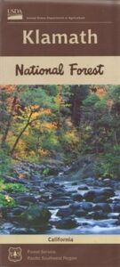
Klamath National Forest Map

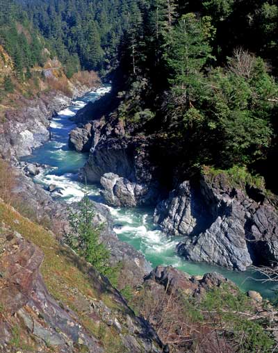
Northern California’s Klamath region is a wild and rugged country, for city folks thinking about visiting, especially during the wet winters. Call ahead to local ranger stations to find out if the roads are indeed open and if 4×4 is required. Always check the weather forecast and do not expect cell phone coverage in this remote, steep, narrow, river canyon landscape. Rock slides and landslides are quite common, therefore you should be well prepared to spend the night in your vehicle. Pack warm clothes, blankets, flashlights, food and drinking water whenever you travel in this neck of the woods.

2024: THIS MAP CURRENTLY UNAVAILABLE

klamath river map

Klamath River Map

klamath mapsNorthern California forest situated around the Klamath River

Klamath River Map / Klamath National Forest
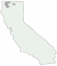
Klamath Forest

klamath river mapKlamath National Forest Map USDA
USGS map California: Klamath Map. Klamath River Camping, Hiking and Fishing. NorCal Mountains, Rivers, Creeks

Klamath Ranger Map – NFS issued map. GPS: Longitude & Latitude; Rivers, Creeks, Peaks, Elevations, 4WD & every dirt BackRoad, Hot Springs, Equestrian Areas, all Campgrounds, Hiking Trails & BackPacking Trailheads. Areas include: Northern California, Trinity County, Siskiyou County, Humbolt County, Yreka, Fort Jones, Happy Camp, Klamath River, Scott River, Salmon River, Marble Mountain Wilderness, Salmon Mountains , Macdoel, Goosenest, Oak Knoll, Ukonom, Orleans, fishing map klamathButte Valley Wildlife Area, Somes Bar, Siskiyou Mountains, Oregon border.

Map Size: 35″x 45″ overall / 4″x9″ folded; ISBN# 9781628114249
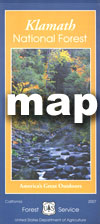
Klamath River Map

OLDER VERSION

Klamath Topo Map

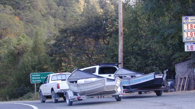
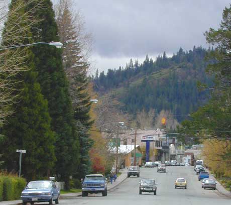
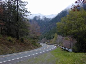
Klamath Highway 96 – when gasoline was less than $2 per gallon!

Road Impassible?

Road conditions on Klamath Forest roads can change at a moment’s notice. In Northern California wet climate, sudden storms can cause land slides, deep mud, erosion and flash floods. Areas that were easily accessible in other seasons can become treacherous in winter. Forest roads may be closed and gated in winter months. A high-clearance vehicle is best when traveling within the Klamath National Forest, and in wetter months 4-wheel drive may be required on the back roads This region in particular has an increased risk of avalanche, even along paved Highway 96.
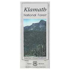
REAL OLD EDITION
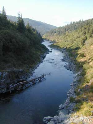
klamath river map

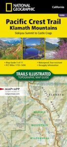
PCT Klamath Maps

PCT Map Klamath NF

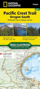
PCT Oregon South

Klamath Maps

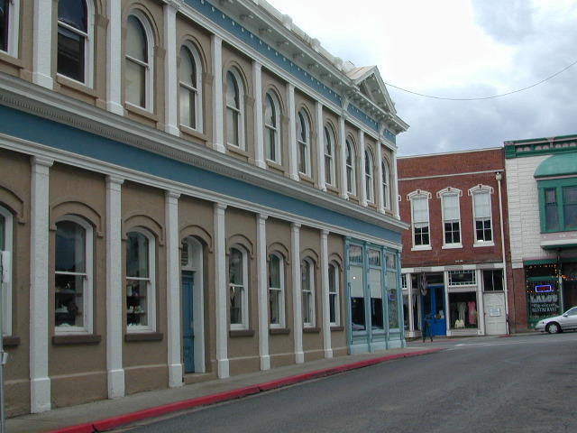
Downtown Weed, California


Klamath Forest Atlas

Klamath Topo Atlas USDA

Klamath National Forest

nearby towns:klamath trail map

Klamath National Forest Maps

Downtown Yreka, California

NFS or USFS

Klamath USFS ranger stations:

Klamath National Forest Headquarters
1711 South Main Street
(Highway 3: Fort Jones Road)
Yreka, California 96097
530-842-6131

Macdoel Ranger Station USFS
Goosenest Ranger District
Butte Valley National Grassland
37805 Highway 97, Macdoel, CA 96058
530-398-4391

Happy Camp Ranger Station USFS
Oak Knoll Ranger District
63822 Highway 96, Happy Camp, CA 96039
530-493-2243

Fort Jones Ranger Station
Salmon River USFS
Scott River Ranger District
11263 Highway 3, Ft Jones, CA 96032
530-468-5351

ranger stations

Klamath Forest Topo Atlas

Klamath Atlas

USDA Topographic Atlas

Klamath National Forest Atlas

Camping Klamath / Kayaking Klamath / Klamath River Fishing

Klamath National Forest AtlasThe KLAMATH FOREST atlas, is a spiral bound book – a collection of all the quads (7½ minute topographical maps) of all of the Klamath National Forest back country. This book map has detailed topo lines, mountain peaks, streams, lakes, hiking trails, trailheads and all back roads.

Perfect for all kinds of recreational needs. Published in 2010 with the USDA (United States Department of Agriculture)Klamath National Forest Atlas

Klamath National Forest

Klamath River

Klamath National Forest Atlas

Klamath National Forest Atlas

Klamath Camping, Klamath River Fishing, Klamath California, Klamath Redwoods, NorCal Camping, Siskiyou County, Siskiyou Camping, Lakes, Rivers, All Dirt Roads, Off Road Routes, Northern California Hunting, Kayaking Creeks, Rafting Klamath, CA SR 96, California Highway 96, Yreka Mountains, Beaver Creek, Eagles Nest, Scott River Road, Scott Bar, Horse Creek, Grider Creek, Walker Creek, Seiad Valley, Seiad Creek, China Grade, Happy Camp, Elk Creek, Goosenest, Oak Knoll, Salmon River, Ukonom, Juanita Lake, Martins Dairy, Orr Lake, Shafter Campground, Curly Jack, Norcross, O’Neill Creek, Sarah Totten, Sulphur Springs Campground, West Branch, Fort Goff, Mount Asland, Tree of Heaven Campground, Big Flat, Hotelling Campground, Idlewild Campground, Matthews Creek, Mulebridge, Red Bank, Shadow Creek, Bridge Flat, Carter Meadows, Hidden Horse, Indian Scotty, Kangaroo Lake, Trail Creek, Beans Camp, Dillon Creek, Frog Pond, Nordheimer, Crystal Springs, Oak Bottom, Ti-Bar Flat TiBar, TBar, Ti Bar river access, Lovers’ Camp Northern California, Big Foot Country

Klamath National Forest AtlasKlamath National Forest Atlas


Klamath National Forest Atlas

Pacific Crest Trail Maps
for NorCal – Klamath region

PCT Map Klamath NF

PCT Oregon South

trail map

see also –

nearby towns –

CA96

CA Hwy 96, known for rock slides & closures

Callahan, CA
Etna, CA
Fort Jones, CA
Happy Camp, CA
Klamath River
Orleans, CA
Seiad Valley
Somes Bar
Yreka, CA

NFS or USFS

Klamath USFS ranger stations:

Klamath National Forest Headquarters
1711 South Main Street
(Highway 3: Fort Jones Road)
Yreka, California 96097
530-842-6131

Macdoel Ranger Station USFS
Goosenest Ranger District
Butte Valley National Grassland
37805 Highway 97, Macdoel, CA 96058
530-398-4391

Happy Camp Ranger Station USFS
Oak Knoll Ranger District
63822 Highway 96, Happy Camp, CA 96039
530-493-2243

Fort Jones Ranger Station
Salmon River USFS
Scott River Ranger District
11263 Highway 3, Ft Jones, CA 96032
530-468-5351

ranger stations

PCT Map #6 Cascades

PCT Map 6 California Cascades

PCT 6

Pacific Crest Trail
Pacific Crest National Scenic Trail
PCT – Hiking Map 6

Lassen to Klamath

Northern California Cascade Mountains: North Lassen, Hat Creek, westward over to Burney Falls, Castle Crags Wilderness, Scott Mountains, Klamath River, Seide Valley, South Cascade Range, Happy Camp Hikes, Forks of the Salmon River, California Highway 3, Etna, Greenview, Callahan, Cecilville, Dunsmuir, Burney Falls, Hat Creek Fishing California. Large fold out map, durable waterproof paper w/ sturdy cardboard cover. USDA National Forest Map. ISBN# 9781593519186

USDA PCT Map 6

The Cascade Range or Cascades is a major mountain range of western North America, extending from southern British Columbia through Washington and Oregon to Northern California. It includes both non-volcanic mountains, such as the North Cascades, and the notable volcanoes known as the High Cascades.

The Cascades are part of the Pacific Ocean’s Ring of Fire, the ring of volcanoes and associated mountains around the Pacific Ocean. All of the eruptions in the contiguous United States over the last 200 years have been from Cascade volcanoes. The two most recent were Lassen Peak from 1914 to 1921 and a major eruption of Mount St. Helens in 1980. Minor eruptions of Mount St. Helens have also occurred since, most recently from 2004 to 2008.

Forests of large, coniferous trees (western red cedars, Douglas-firs, western hemlocks, firs, pines, spruces, and others) dominate most of the Cascade Range. Cool, wet winters and warm, dry summers favor evergreen species, whereas mild temperatures and rich soils promote fast and prolonged growth.

As a traveler passes through the Cascade Range, the climate first gets colder, then warmer and drier east of the crest. Most of the Cascades’ lower and middle elevations are covered in coniferous forest; the higher altitudes have extensive meadows as well as alpine tundra and glaciers. The southern part of the Cascades are within the California Floristic Province, an area of high biodiversity.

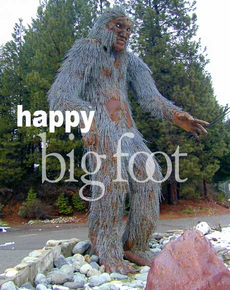
Black bears, coyotes, bobcats, cougars, beavers, deer, elk, moose, mountain goats and a few wolf packs returning from Canada live in the Cascades. There have been unconfirmed sightings of Bigfoot known locally by the Native American name of Sasquatch. Fewer than 50 grizzly bears reside in the Cascades of Canada and Washington.

nearby towns –

klamath

HAPPY CAMP, the main attraction

see also –

Klamath National Forest Map
Klamath Forest Atlas
Red Buttes Wilderness Map
Rogue River National Forest Map
PCT Map #7 Southern Oregon