Capital Reef Map

Capital Reef Map

hiking slot canyons

Capital Reef National Park Map

NPSCapt Reef NP

Utah’s National Parks are unbelievably beautiful. Enjoying one National Park at a time would require months. Hiking, off-roading and camping are always popular during the summer months, yet most of the parks are open all year long.

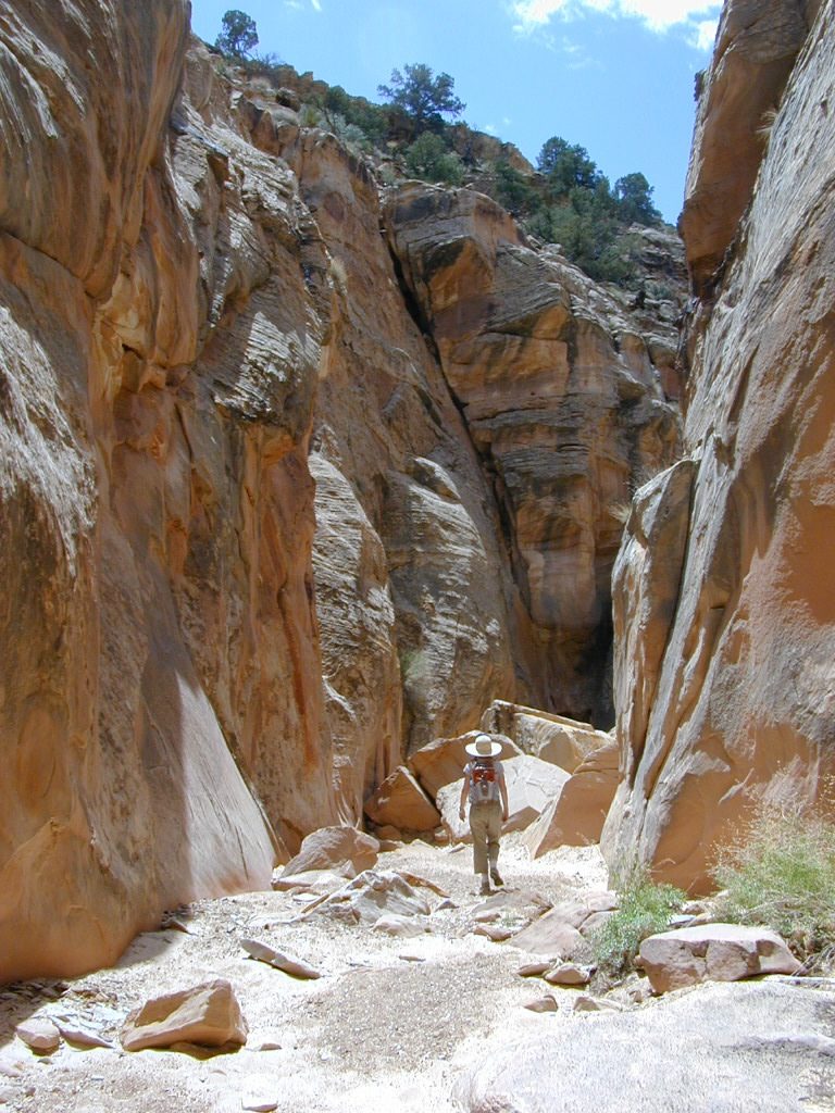
NPSCapital Reef is a fertile high desert canyon with plenty of great slot canyons and archways to explore. The main campground on the highway is located next to a historic fruit orchard.

Capital Reef Map

Capital Reef MapCathedral Valley is a cool off-road destination for secluded camping, way off the paved highway. Self sufficient campers only!

The Burr Trail is a historic graded road, with steep switchbacks and red rock scenery. This main backcountry route connects the National Park to remote BLM land, south of the park.
Capital Reef Map

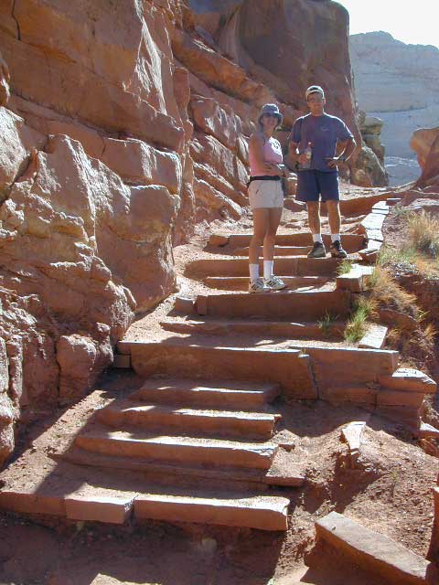
Hiking in Capital Reef National Park

get a digital version of this mapavenza maps
NatGeo #267 – Capitol Reef NP Map

Capital Reef Map

May is generally the best month for camping & hiking in southern Utah. Summer can bring triple digit heat and late season thunderstorms. Flash floods are common and life threatening in this mountainous high desert region. Winter snow is typical in this region.

NFSFishlake National Forest is neighboring the National Park on the west side of Capital Reef NP. Free camping is available on dirt roads in the National Forest; Capital Reef Mapcampfire permits are required for back country camping. RV park, motels, market and restaurants available in Torrey.

nearest town:
Torrey, UT

Capital Reef Map

Capital Reef Map

Historic Burr Trail is a very long, yet drivable, graded dirt road connecting many public lands in south central Utah. High clearance is recommended, 4WD may be required during wet weather or snow.

avenzabar

apps/maps:
download digital topos & maps

BLM Map: West Wayne County UT (free)
Fishlake National Forest Topo Atlas
Fishlake NF Utah – Off Road Map (free)
Fishlake NFS Visitor Map – North Half
Glen Canyon Lake Powell Map NPS (free)
Glen Canyon Recreation Area – Lake Powell Map
Grand Staircase Escalante Map BLM
Motorized Routes Map, Emery County UT
NatGeo #707 – Fish Lake, Manti Map (Interstate 70)
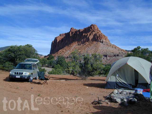
Capital Reef Map

Free Camping @ Fishlake NF – Torrey, Utah

see also –Utah Maps

Canyonlands Map
Utah Maps
Utah Books

Capital Reef Map

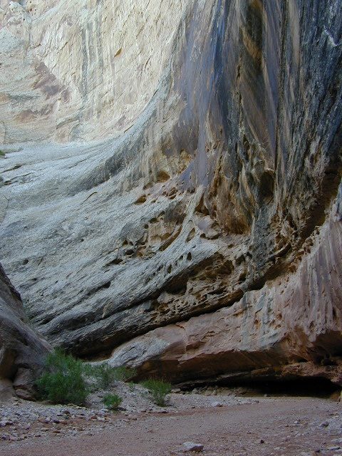
Giant Walls of Capital Reef

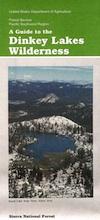
Dinkey Lakes Maps

Dinkey Creek Map
Dinky Lakes, California

Several map producers cover this popular western Sierra Wilderness region. Tom Harrison makes a hiking topo, so does the USDA. NatGeo even has a nice, new, colorful Shaver Lake Map.Dinkey Creek Map

Dinkey Lake Wilderness

Dinkey Lake, Dinky Creek, Sierra National Forest, Courtright Reservoir, Trailheads, OHV 4×4 Routes, Dusy-Ershim Trail, Red Lake, Coyote Lake, Ershim Lake, Crater Lake, Summitt Lake, Mallard Lake, Mystery Lake Trail, Swede Lake, South Lake, Rainbow Lake, Swamp Lake, Island Lake, Rock Lake, Little Lake, First Dinkey Lake, Cliff Lake, Nelson Lakes, Helms Creek, Perkins Camp, Florence Lake, Jackass Meadow, Badger Flat, John Muir Wilderness

dinky lakes wilderness trails
Dinkey Lakes Wilderness Trail Map

Topo Maps by Tom Harrison

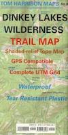
Tom Harrison Trail Map: Dinkey Lake Wilderness , part of Sierra National Forest – Central Sierra California. Courtright Reservoir, Maxson Trailhead, OHV Swamp 4×4 Route, Dusy-Ershim Trail, Red Lake, Coyote Lake, Ershim Lake, Crater Lake, Summitt Lake, Mallard Lake, Mystery Lake Trail, Swede Lake, South Lake, Rainbow Lake, Swamp Lake, Island Lake, Rock Lake, Little Lake, First Dinkey Lake, Cliff Lake, Nelson Lakes, Helms Creek, Perkins Camp, Florence Lake, Jackass Meadow, Badger Flat, Borders the John Muir Wilderness to the east. Durable, waterproof plastic map; Folded. Map Scale: 42K; ISBN# 9781877689987

avenza mapsdownload digital version of this map –
Dinkey Lakes Wilderness Map

Dinkey Lakes Maps

DinkeyLakes
Dinkey Lake Wilderness Map USDA

Currently Unavailable Online. Available at Ranger Stations

Dinkey Lakes Trails / Dinkey Creek Camping

Dinkey Lakes Wilderness Map. Perfect for a day hike reference or extended backpacking adventures. Scale = 2″ to mile; Usually only found at Ranger Stations – Hard to find maps. Printed on paper; Last updated in 1991.

camp


Dinkey Lakes Maps

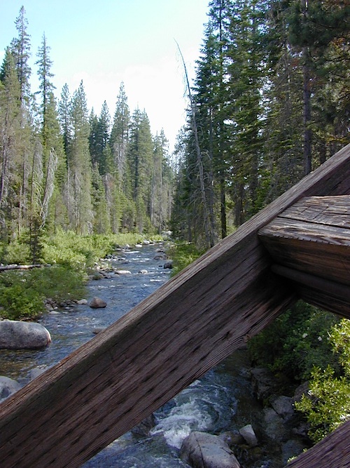
Dinkey Creek @ Dinkey Bridge

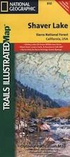
NatGeo Map #810 Shaver Lake

Shaver Lake Camping
National Geographic Shaver Lake Map

snowmoNational Geographic Map #810; Shaver Lake Map, Huntington Lake, Sierra National Forest maps from National Geographic. 4×4 routes around the central Sierra Nevada. Dinkey Lakes Wilderness, Kaiser Wilderness, Rancheria Falls, Black Point, Lewis Creek Tamarack Creek, Red Mountain, Red Lake, Sierra Vista Scenic Byway, Sierra Heritage Scenic Byway. Hiking, mountain biking, horse back & OHV trails. Lake trails, wilderness trail, loop trail, lake campgrounds. Two sides, waterproof & tear resistant. Map Scale 1:63,360 / 1 inch = 1 mile. ISBN# 9781566952422
Dinkey Lakes Maps

rancheria falls

Joshua Tree Maps

Joshua Tree National Park Map

Joshua Tree Maps
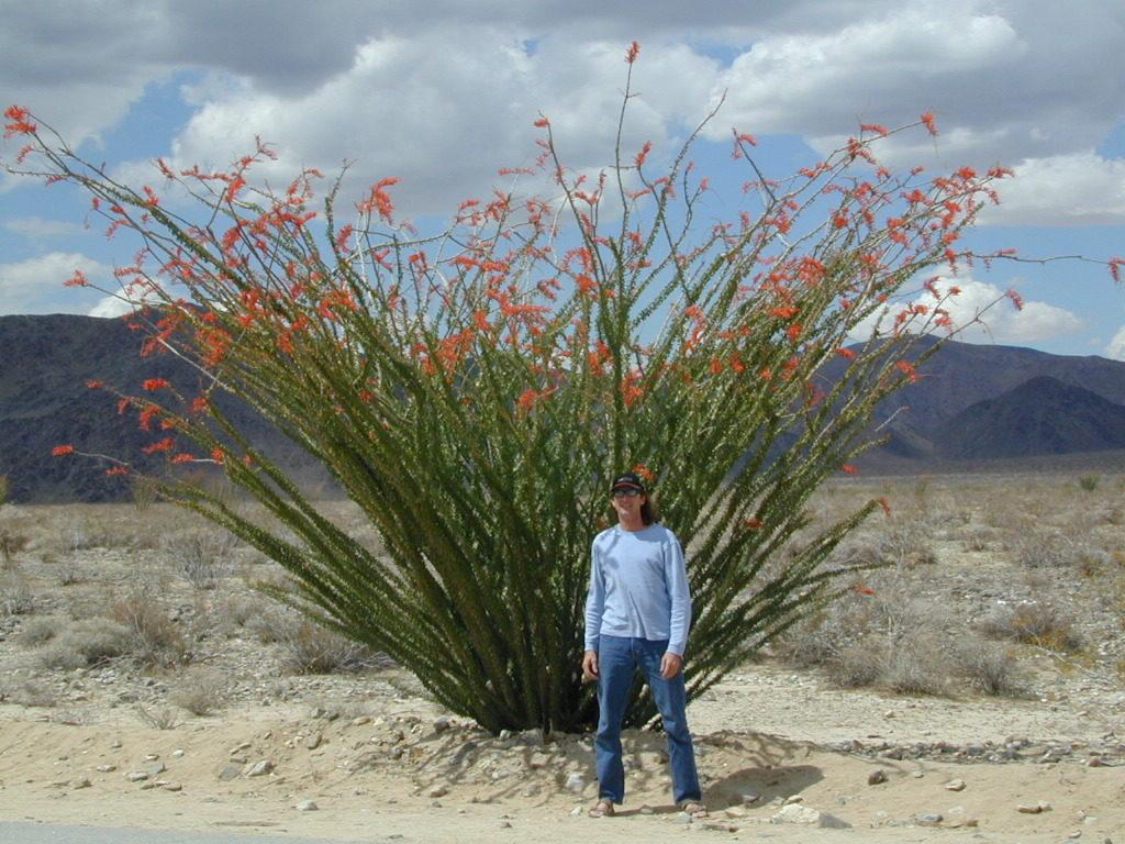
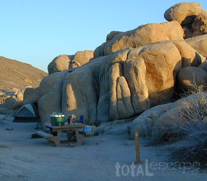
Both Tom Harrison and NatGeo make awesome recreation maps of this popular SoCal desert. Numerous campgrounds, hiking trails, dirt roads, historic mines, and plenty rock climbing spots. In 1934, Joshua Tree was designated as a National Monument and then later became a National Park in 1994. The local Palm Springs Desert BLM office has paper maps that cover the desert canyon areas near Interstate 10.

JT Maps

Joshua Tree Recreation Map
by Tom Harrison

Joshua Tree National Park Map, Climbing Joshua Tree Camping Backpacking Maps, Areas include: Black Rock Canyon, Hidden Valley, Barker Dam, Keys View, Lost Horse Valley, Lost Horse Mine, Ryan Mountain, Cholla Cactus Garden, Cottonwood Spring, Lost Palms Oasis, Geology Tour Road, Cap Rock, Jumbo Rocks, Wonderland of Rocks, Arch Rock. High Desert Yucca Valley; Durable, waterproof plastic map; Folded. Map Scale: 125K; ISBN# 9781877689536

digital mapsget a digital version of this map
Joshua Tree Park Map by Tom Harrison

Joshua Tree Maps

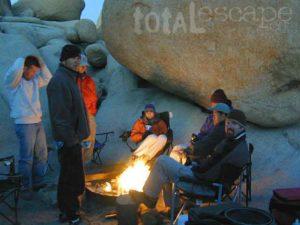
Quiet Camps in the Desert

Joshua Tree National Park Map #226
by National Geographic

Trails Illustrated Map from National Geographic. Joshua Tree National Park Map #226. Joshua Tree Park Map, Camping & Hiking Map. Very detailed & colorful. Waterproof Plastic Map; Tear Resistant. GPS data. Scale 1:80,000 Contour Interval = 100 feet. ISBN# 9781566953009

digital mapsget a digital version of this map
NatGeo Map 226 – Joshua Tree National Park

Joshua Tree Maps

online maps

digital maps for download

Joshua Tree Maps

Joshua Tree Maps

Joshua Tree Maps can get you beyond the crowds, to the outlying places that few know about. Summers can be hot here in the High Desert at 4000′ elevation, but not as hot as the Palm Springs / Coachella Valley below.

Winters can be chilly and windy, especially with any storm front moving through SoCal. Snow is possible at this elevation. Low temps overnight can drop into the teens during certain times of year – so make sure to bring a zero degree sleeping bag and good thermal undies.

Spring (wildflowers) and autumn are ideal times to visit JTNP.

Joshua Tree Maps

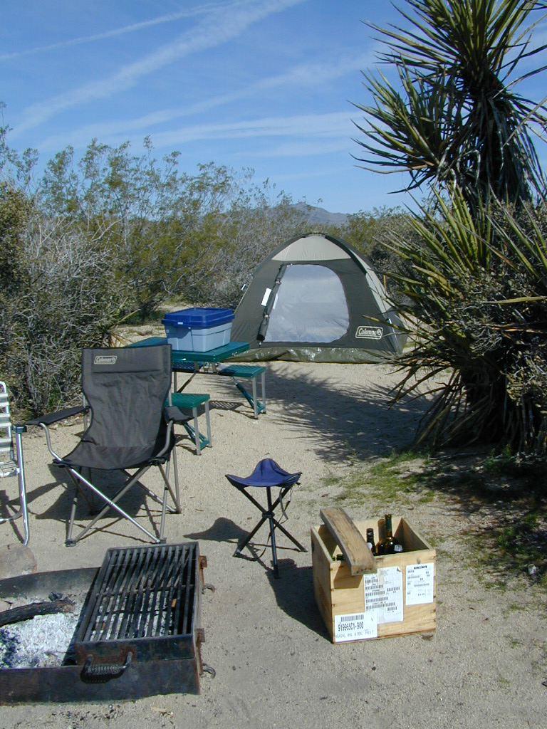
Camping Joshua Tree National Park Desert

Grand Canyon National Park Map

Grand Canyon Maps

Grand Canyon Maps


Grand Canyon Maps

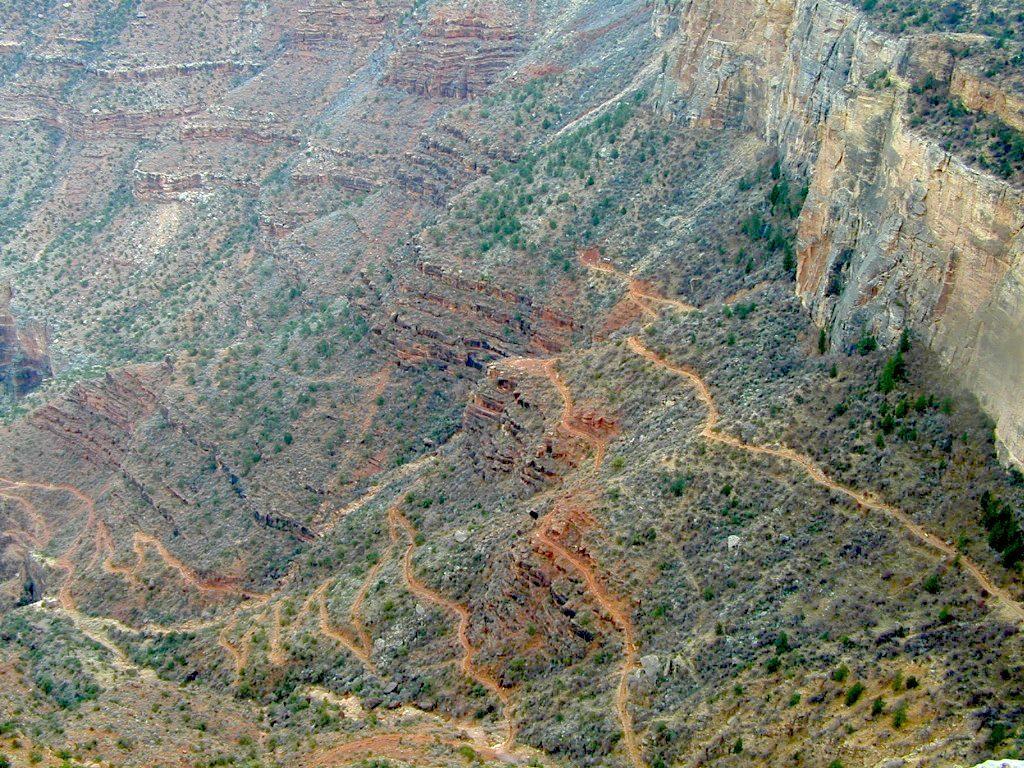
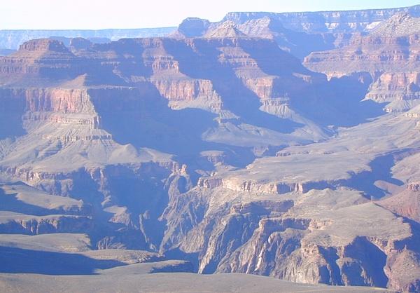
The Colorado River carves out the Grand Canyon, the largest National Park in the nation. 2019 marked the park’s 100th birthday!NPS

Grand Canyon Maps

The large river flows south from the Rocky Mountains of Colorado, down through the red rock deserts of the Southwestern US; separating Arizona from California, down to Baja California and the Sea of Cortez

North Rim of Grand Cyn = Utah
(8000′ elevation) conifer forests

South Rim of Grand Cyn = Arizona
(7000′ elevation) pinyon forests

Grand Canyon Maps

digital maps for download

driftwood


Grand Canyon Maps

Arizona Camping Maps

Utah Maps & Utah Books

Grand Canyon Maps