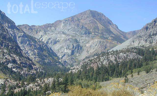
Explore more of the Central Sierra Nevada Mountains with the Stanislaus National Forest Map, which covers forests on both sides of Highway 108, Sonora Pass. Gold Country foothills give way to wilderness peaks and secluded streams. California gets some serious snow up in this high country, so most areas are only accessible half the year. Plan accordingly.
Sonora Pass Map
Stanislaus Forest Camping / Sonora Pass / Stanislaus River
CA 108 Stanislaus. Stanislaus Map. Calaveras, Northwest Yosemite, Spicer Reservoir, Union, Utica Lakes, Dodge Ridge, Bear Valley Ski, Lake Alpine, Hetch Hetchy
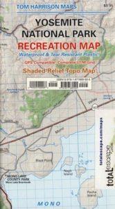
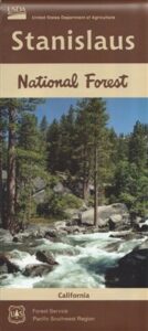
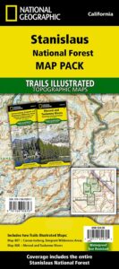
Stanislaus National Forest Map
WATERPROOF PLASTIC MAP; water & tear resistant. Ranger Map – NFS issued map. GPS: Longitude & Latitude; Rivers, Lakes, Reservoirs, Creeks, Mountain Peaks, Elevations, 4WD routes and every dirt Back Road. Furthermore this map features Equestrian Areas, all Campgrounds, Picnic Grounds, Sierra Viewpoints, in addition to Hiking Trails & BackPacking Trailheads.

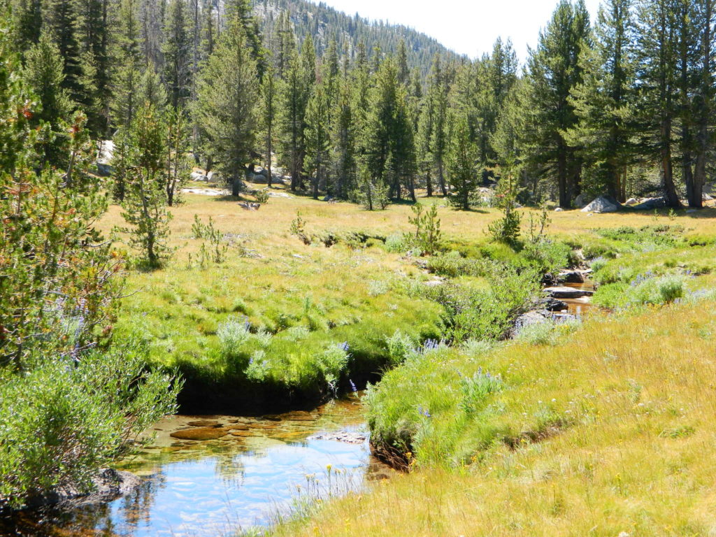
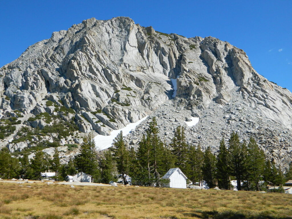
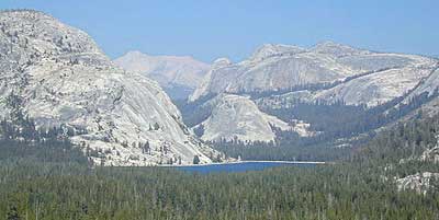
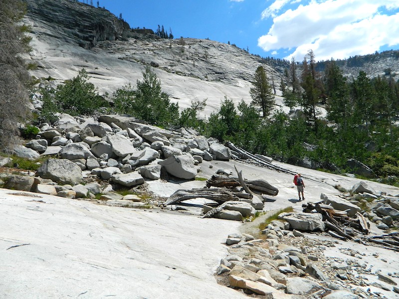
Areas include: Gold Country California, Stanislaus County, Northwest Yosemite, Columbia, Sonora, Groveland, Twain Harte, Calaveras Big Trees, Hathaway Pines, Carson Iceberg Wilderness, Mokelumne Wilderness, Emigrant Wilderness, Cherry Lake, Pinecrest Lake, Spicer Reservoir, Donnell Lake, Tuolumne River, Merced River, Dodge Ridge, Bear Valley Ski, Lake Alpine, Hetch Hetchy, Union Lake, Utica Reservoir, Salt Springs Reservoir, Beardsley Lake, State Game Refuge, Mi-Wuk Village.

OLDER VERSION
see also –
Carson Iceberg Wilderness Map
Emigrant Wilderness Map
Fishing Maps for California
Merced and Tuolumne Rivers Map
Stanislaus Forest Topo Atlas

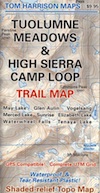
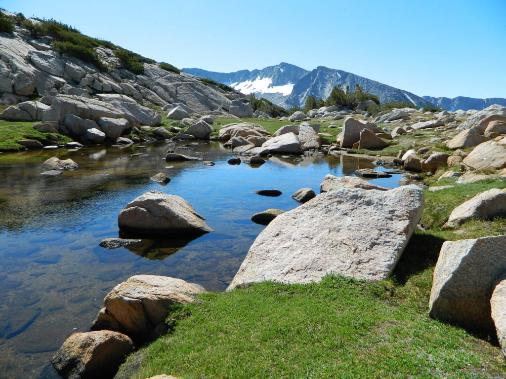
Stanislaus National Forest Map and Sonora Pass: Backpacking, Camping, Fishing, Hiking, Kayaking, Off Roading, Stargazing and Rock Climbing
Gold Country California
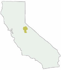
Stanislaus National Forest
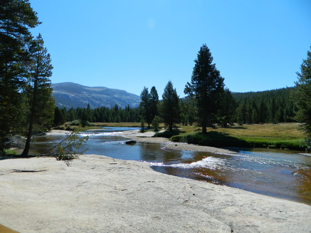
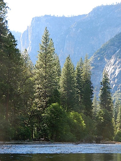
Stanislaus River
nearby towns: