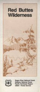
Red Buttes Map USDA
This map is outta print!
Check Ranger Stations for availability. (see below)
 Red Buttes Wilderness Map Oregon
Siskiyou National Forest Applegate Ranger District, Rogue River National Forest
OR Topo Maps, Oregon Maps backpacking, hiking, camping, fishing; Illinois Valley Cave Junction, Klamath River California, RedButtes Wilderness Hiking Map, Topo Red Buttes Oregon, Applegate River Topographical Hiking Maps Northern California, Siskiyou NFS, Siskiyou Forest, Whiskey Ridge, at the California Oregon border.

Red Buttes Wilderness is situated in both Oregon and California and includes the crest of the Siskiyou Mountains between the Rogue River and Klamath River drainages. The wilderness is 13 miles long and 6 miles wide, with elevations ranging from 2,800′ in Butte Fork Canyon to 6,740′ at the east summit of the Red Buttes.
The main waterways that flow through Red Buttes Wilderness are all part of the Rogue River watershed, including the Butte Fork and the Middle Fork of the Applegate River, as well as Sucker Creek, a tributary of the Illinois River. The Wilderness contains the headwaters of the Illinois River.
Red Buttes Wilderness takes its name from the dominant peak along the Siskiyou Crest; because of its high iron and magnesium content, the butte’s rock is a reddish-orange color.
The Siskiyou Mountains are part of the larger Klamath Mountains Province of southwestern Oregon and northwestern California, and they include some of the oldest rocks in the region.
The former ocean-bottom sediments that make up most of the Wilderness are several hundred million years old. Over time they were slowly changed by pressure and heat into the complex variety of metamorphic rocks present today: schist, quartzite, gneiss, and several outcrops of white marble. During the last ice age small glaciers sculpted the Siskiyou basins that now contain lakes and meadows.

Closest USFS stations:
Happy Camp Ranger Station
Oak Knoll Ranger District
63822 Highway 96,
Happy Camp, CA 96039
530-493-2243
US Forest Service: Star Ranger Station
6941 Upper Applegate Rd,
Jacksonville, OR 97530
541-899-3800

see also –
Oregon Dunes Map
Rogue River Float Guide
Rogue River National Forest Map
Columbia River Map
PCT Map #7 Southern Oregon
PCT Map #8 Northern Oregon
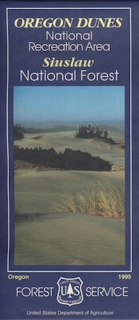
 Oregon Dunes National Recreation Area Map, Siuslaw National Forest Oregon, Oregon Dunes NRA, OR Beaches, Oregon coast map. Oregon Dunes Camping, off-road, OHV, ATV. Lagoon Campground, Driftwood II Campground, Goose Pasture, Siltcoos Beach. Westlake, Florence OR, Reedsport, Coos Bay Oregon Maps. Printed in paper in 1995


 Red Buttes Wilderness Map Oregon


