Baja Almanac

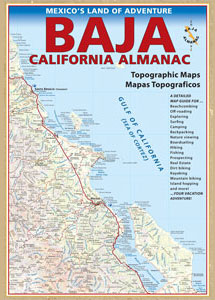
Baja California Almanac Map

The Biggest & Best Baja California Topo Atlas

Baja Almanac Map
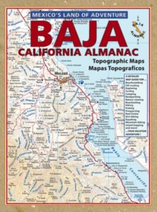
baja almanac 2021This map covers both top and bottom of the peninsula: Baja Norte (NORTH) & Baja Sur (SOUTH), BC Mexico

Baja Almanac PDF?

2021 UPDATE:
available for free, in a PDF download from
baja-almanac.com


NOTE: every so often these printed map books can be found on eBay or Amazon,or elsewhere online usually commanding a high for price tag for a “used copy”

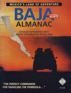
Baja Almanac 2003

Baja Almanac 2003

Baja Almanac – by Landon S. Crumpton

Mexico Maps – Both Northern & Southern Baja California in one atlas. The Best Maps of Baja, period! Excellent resource while traveling in Mexico. If you plan on driving deep into Baja and really exploring back roads, hidden coves, surf spots, deserts, petroglyphs… this is the map to have.
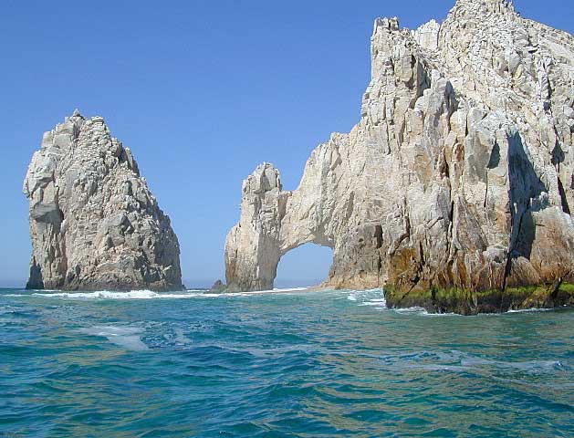
Lands End

baja california almanac

2009 edition (large format)

This version was the largest format ever printed on this map, detailing every inch of Mexico’s Baja California peninsula. Thinner and larger means less page flipping. With over 10,000 entries, the Baja Almanac lets you pinpoint any location in Baja, down to the most remote ranch or campsite. Published 2009. ISBN# 9780965866347

  • Larger Size: 10.75″ wide x 15.25″ tall
  • Printed on 70lb Paper with Matte Finish, a crisper, more defined presentation
  • Adjoining Map Overlap, each map displays an overlapping segment of adjoining map pages
  • Updated Land Routes & Cultural Features
  • Complete Indexes, Mileage Chart and Primary Route Distance in both miles & kilometers
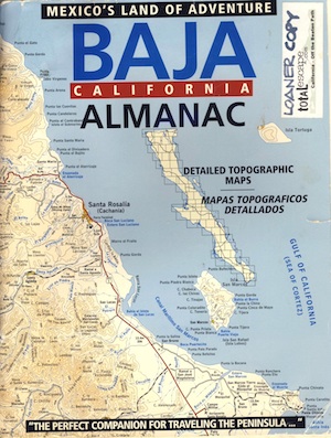
baja maps

OLDER VERSION

baja norte

REAL OLD VERSION

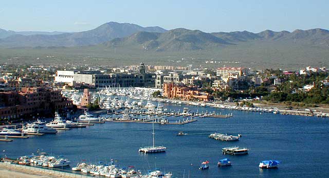
CSL Marina

CABO SAN LUCAS MARINA

NatGeo makes waterproof hard-copy maps of the the Baja Peninsula.

see –bajamapsnatgeo
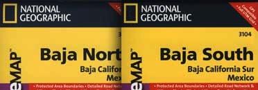
National Geographic Baja Maps


baja maps


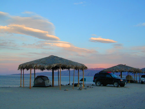
gonzagabay

Gonzaga Bay, Baja California

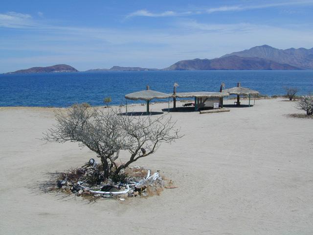
Bay of L.A.

Bay of L.A.(aka Bay of Los Angeles) Baja California
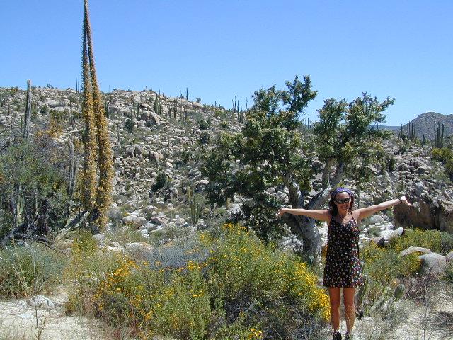
Catavina

DanaMite @ Catavina, B.C. Mexico


Baja California Books

Benchmark Baja California
Road & Recreation Atlas

Baja Map Mexico

Release date MAY 2021 – announcing a brand new atlas for Baja California, created by Benchmark Maps. 

see more Baja California Maps

Baja California Books

Baja California Mexico

Baja California Mexico Books


Baja California Books

Baja California Books

Baja California Books

Lower California

as opposed to Alta California (US state of California)

Baja California encompasses a territory within the Californias region of North America, which exhibits diverse geography for a relatively small area. The Peninsular ranges of the California cordillera run down the geographic center of the state. The most notable ranges of these mountains are the Sierra de Juárez and the Sierra de San Pedro Mártir. These ranges are the location of forests reminiscent of Southern California’s San Gabriel Mountains. Picacho del Diablo is the highest peak on the peninsula.

Valleys between the mountain ranges are located within a farm growing climate zone, that is particularly suitable for agriculture. Such valleys include the Valle de Guadalupe and the Valle de Ojos Negros, areas that produce citrus fruits and grapes. The mineral-rich mountain range extends southwards to the Gulf of California, where the western slope becomes wider, forming the Llanos del Berrendo on the border with Baja California Sur. The mountain ranges located in the center and southern part of the state include the Sierra de La Asamblea, Sierra de Calamajué, Sierra de San Luis and the Sierra de San Borja.

Baja Climate

Temperate winds from the Pacific Ocean and the cold California Current make the climate along the northwestern coast pleasant year-round. Rains from the north barely reach the peninsula, thus leaving southern areas drier. South of the El Rosario River, the terrain changes from a Mediterranean landscape to a desert one. This desert exhibits diverse succulent species that flourish in part due to the coastal fog.

There are numerous islands on the Pacific shore. Guadalupe Island is located in the extreme west of the state’s boundaries and is the site of large colonies of sea lions. Cedros Island exists in the southwest of the state’s maritime region. The Todos Santos islands are located off the coast of Ensenada; Coronado Islands are located off of Tijuana.

Baja California Books

Gonzaga Bay, Baja California Mexico