Stanislaus National Forest Map

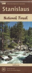
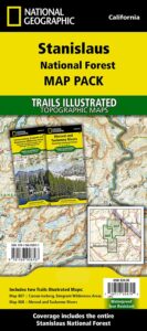
hiking trail mapExplore more of the Central Sierra Nevada Mountains with the Stanislaus National Forest Map, which covers forests on both sides of Highway 108, Sonora Pass. Gold Country foothills give way to wilderness peaks and secluded streams. California gets some serious snow up in this high country, so most areas are only accessible half the year. Plan accordingly.

stanislaus USDA

Sonora Pass Map

Stanislaus Forest Camping / Sonora Pass / Stanislaus River
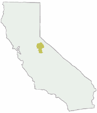
Stanislaus Sonora Maps

CA 108 Stanislaus. Stanislaus Map. Calaveras, Northwest Yosemite, Spicer Reservoir, Union, Utica Lakes, Dodge Ridge, Bear Valley Ski, Lake Alpine, Hetch Hetchy

Stanislaus National Forest Map

WATERPROOF PLASTIC MAP; water & tear resistant. Ranger Map – NFS issued map. GPS: Longitude & Latitude; Rivers, Lakes, Reservoirs, Creeks, Mountain Peaks, Elevations, 4WD routes and every dirt Back Road. Furthermore this map features Equestrian Areas, all Campgrounds, Picnic Grounds, Sierra Viewpoints, in addition to Hiking Trails & BackPacking Trailheads.

fishing map

Areas include: Gold Country California, Stanislaus County, Northwest Yosemite, Columbia, Sonora, Groveland, Twain Harte, Calaveras Big Trees, Hathaway Pines, Carson Iceberg Wilderness, Mokelumne Wilderness, Emigrant Wilderness, Cherry Lake, Pinecrest Lake, Spicer Reservoir, Donnell Lake, Tuolumne River, Merced River, Dodge Ridge, Bear Valley Ski, Lake Alpine, Hetch Hetchy, Union Lake, Utica Reservoir, Salt Springs Reservoir, Beardsley Lake, State Game Refuge, Mi-Wuk Village.
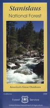
USDA Map Stanislaus

OLDER VERSION

see also

Carson Iceberg Wilderness Map
Emigrant Wilderness Map
Fishing Maps for California
Merced and Tuolumne Rivers Map
Stanislaus Forest Topo Atlas
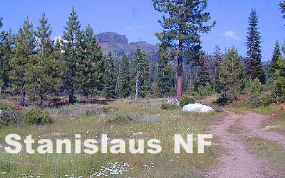
Sonora Pass Camping Maps

stanislauspak

Stanislaus National Forest Map and Sonora Pass: Backpacking, Camping, Fishing, Hiking, Kayaking, Off Roading, Stargazing and Rock Climbing

Gold Country California

Stanislaus National Forest
Stanislaus River

nearby towns:stanislaus horseback trail map

Gold Country Books

The Gold Rush of California

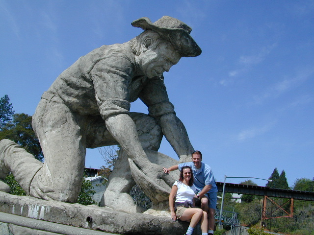
california independentThe largest migration in world history, of Overland pioneers traversing the continent on foot with wagons and horses, took place right here – beginning in 1848. The discovery of the precious metal gold, that set this rolling, was centered around the western Sierra rivers and mountains of California. The migration west began much earlier, but it increased dramatically after the news spread.

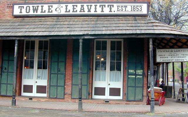
Gold Country Books can relate the historic details of yesteryear.

Within only a decade the entire West Coast was transformed into a developed landscape, with people coming from all over the world to stake out their claims, dreaming of fortunes or simply, just to find work and create a new life. Hence, California became a U.S. state in 1850. Consequently, the railroads followed soon after.

Find Gold Country Maps

Gold Rush Map Books

Columbia State Historic Park, California

California’s Gold Country Books

Gold Country Books

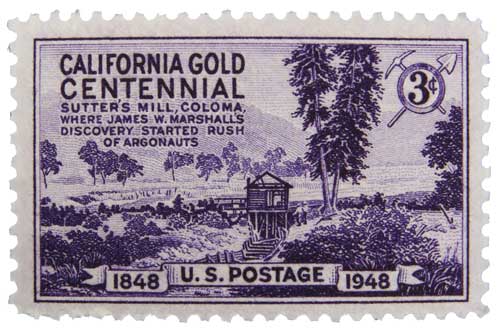
Coloma Gold Centennial Stamp 1948

Our Favorites on California History

Little did I know what pleasure reading California historical books would bring me in my middle years of life. Transport yourself to the dusty trails and hardships of Overland pioneer life, or imagine a two year journey sailing around the bottom of South America to reach this desolate coast in the early 1800’s. Read these books below to get a glimpse into an Old California story. One you can only dream about, knowing what has become of it today.

Gold Country Books

Gold Country Goofballs in Auburn, CA

Santa Barbara Books

Santa Barbara Books

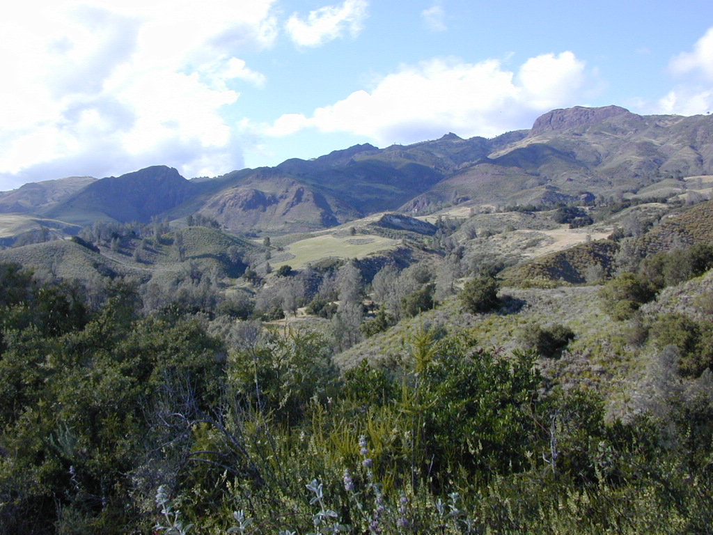
Figueroa Mountain of the Santa Barbara Backcountry

Find Los Padres National Forest Map

Find Sespe Wilderness Trail Map

Find Channel Island National Park Map

Books on the Santa Barbara Coast & the Santa Barbara Mountains

Santa Barbara Books


Santa Barbara Books

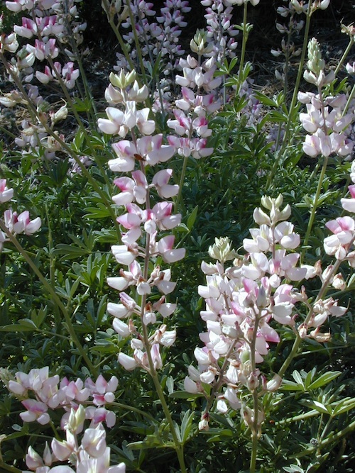
Peppermint Lupine @ Figueroa Mountain Road

Santa Barbara is a coastal city in Santa Barbara County, California, of which it is also the county seat. Situated on a south-facing section of coastline, the longest such section on the West Coast of the United States, the city lies between the steeply rising Santa Ynez Mountains and the Pacific Ocean.

In addition to being a popular tourist and resort destination, the city has a diverse economy that includes a large service sector, education, technology, health care, finance, agriculture, manufacturing, and local government.

The city is served by Santa Barbara Airport and train service is provided by Amtrak, which operates the Pacific Surfliner, which runs from San Diego to San Luis Obispo. The Santa Barbara area is connected via U.S. Highway 101 to Los Angeles (100 miles to the southeast) and San Francisco (325 miles to the northwest).

Behind the city, in and beyond the Santa Ynez Mountains, is the Los Padres National Forest, which contains several remote wilderness areas. Channel Islands National Park and Channel Islands National Marine Sanctuary are located approximately 20 miles offshore.

Santa Barbara Mountains:

Santa Barbara Books

Feather River Map

Feather River Map
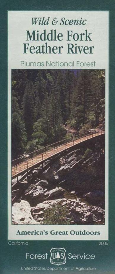
Middle Fork of the Feather River Map

Currently unavailable online; May still be found at ranger stations.

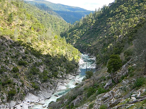
Wild & Scenic Middle Fork of the Feather River

Feather River CA / Feather River Map / Berry Creek, California / Brush Creek / Milsap Bar

NorCal river recreation & fishing map covers the Middle Fork of the Wild & Scenic Feather River, inside Plumas National Forest. Oro-Quincy Highway, Brush Creek, Berry Creek, Dome Trail and Curtain Falls; Little North Fork, and Milsap Bar Campground. Perfect for day trips from Sacramento, or weekend fishing trips in the Sierra Nevada Mountains.

USDA NFS Hiking Map; Printed on paper in 2006. ISBN# 9781593514495

nearby towns:

Troutmap Feather River Map Set

The Middle Fork Feather River is a major river in Plumas and Butte Counties in California. Nearly 100 miles long, it drains over 1000 square miles of the rugged northern Sierra Nevada range.

Its headwaters are located near Beckwourth in the largest alpine basin in the Sierra Nevada, the Sierra Valley. The convergence of several streams there creates the Sierra Valley Channels, the largest of which is Little Last Chance Creek, flowing out of Frenchman Lake across the northeast side of the valley.

Flowing west, it is joined by Big Grizzly Creek, with waters from Lake Davis. The river continues west, passing Portola and turning northwest at Clio, where it is joined by Sulphur Creek. In the area of Graeagle, It is joined by Frazier Creek, flowing out of Gold Lake, then Gray Eagle Creek, flowing out of Long Lake.

After flowing through the Mohawk Valley, it then turns westwards into a canyon. Jamison Creek and Nelson Creek enter from the left, then Onion Valley Creek a few miles onward. Bear Creek, Willow Creek and the North Fork Middle Fork Feather River all come in from the right as the river courses west-southwest through a tight, steep canyon strewn with rapids. It is then joined by the South Branch Middle Fork Feather River from the left.

As the river widens into an arm of Lake Oroville, a reservoir formed by the Oroville Dam, the Fall River joins from the left. The Oroville Reservoir is fed by 4 Feather forks – the North, Middle, West and South Forks of the Feather River –  which once joined in the valley to form the main Feather River. That river continues southwards to join the Sacramento River.

One of the Middle Fork Feather’s tributaries, the Fall River, feeds the 640′ Feather Falls. This waterfall is often claimed to be the third or sixth tallest in the United States; but in reality is nowhere near the top ten in height.

Feather River Map

see also –
Plumas National Forest Map