Los Padres Forest Topo Atlas

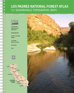
Los Padres Atlas
Topographic Map USDA

Los Padres Atlas USDA

Los Padres Forest Atlas

USFS, United States Forest Service – aka National Forests

Ventura, Ojai, Santa Barbara Mountains, Mount Pinos, San Luis Obispo, Big Sur Coast
Mountains: Central Coast California

Los Padres National Forest

Los Padres Forest Atlas

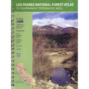
a spiral bound book – a collection of all the quads. (7.5 minute topographical maps, of all of Los Padres National Forest) It includes both Los Padres NORTH (Monterey) & SOUTH (Ojai/Pinos). This book map has detailed topo lines, mountain peaks, streams, lakes, hiking trails & back roads. Perfect for all kinds of recreational needs.

camp maps

Los Padres Forest Atlas

Older version of Los Padres Atlas

Los Padres Forest Atlas

Big Sur Coastal Mountains

Los Padres Forest Atlas

camping & exploring, Los Padres –
links and destinations

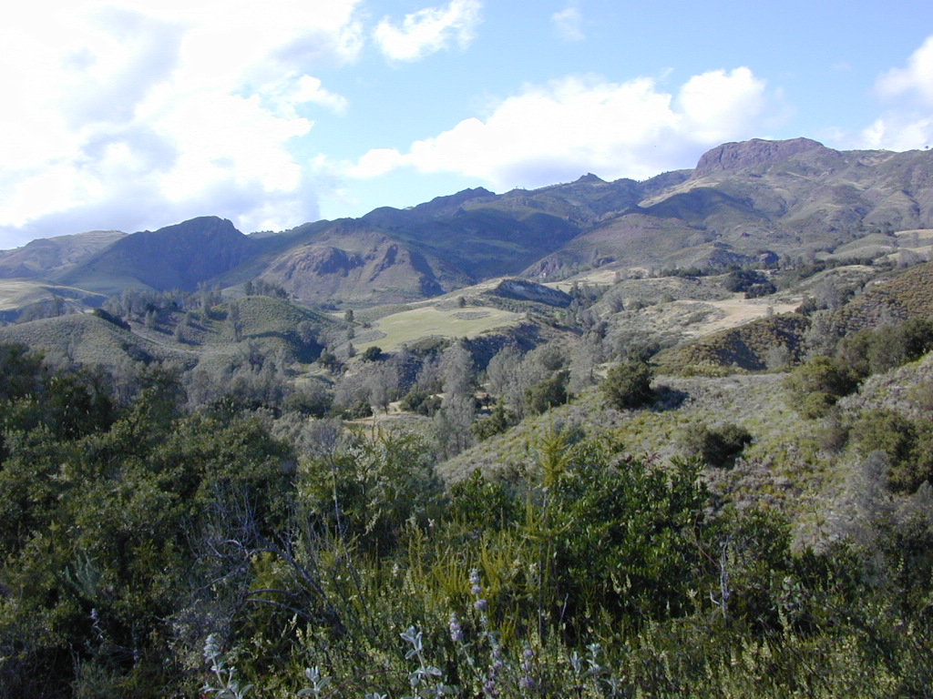
Pine Mountain @ Mil Potrero, as seen from top of Mount Pinos, CA
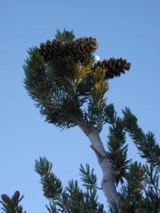
Mt Pinos California

pinos trails

Hiking Trails on Mount Pinos

see also –

Big Sur Maps
Los Padres National Forest Map
Sespe Wilderness Map 

Santa Barbara Books

Santa Barbara Books

Figueroa Mountain of the Santa Barbara Backcountry

Find Los Padres National Forest Map

Find Sespe Wilderness Trail Map

Find Channel Island National Park Map

Books on the Santa Barbara Coast & the Santa Barbara Mountains

Santa Barbara Books


Santa Barbara Books

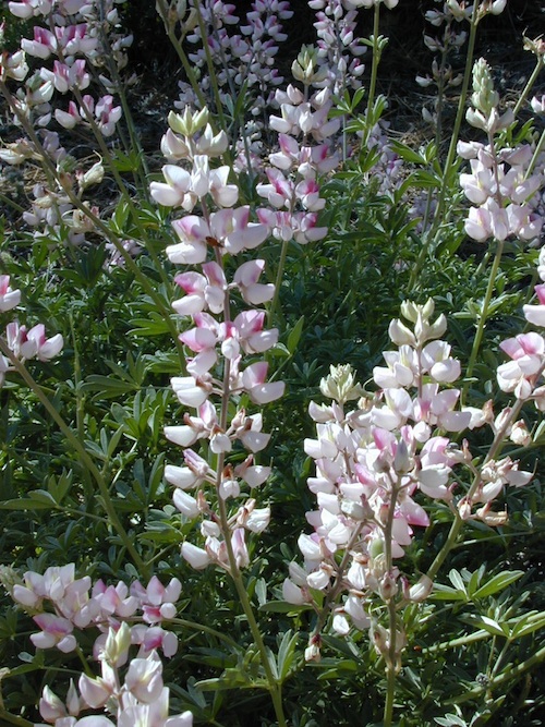
Peppermint Lupine @ Figueroa Mountain Road

Santa Barbara is a coastal city in Santa Barbara County, California, of which it is also the county seat. Situated on a south-facing section of coastline, the longest such section on the West Coast of the United States, the city lies between the steeply rising Santa Ynez Mountains and the Pacific Ocean.

In addition to being a popular tourist and resort destination, the city has a diverse economy that includes a large service sector, education, technology, health care, finance, agriculture, manufacturing, and local government.

The city is served by Santa Barbara Airport and train service is provided by Amtrak, which operates the Pacific Surfliner, which runs from San Diego to San Luis Obispo. The Santa Barbara area is connected via U.S. Highway 101 to Los Angeles (100 miles to the southeast) and San Francisco (325 miles to the northwest).

Behind the city, in and beyond the Santa Ynez Mountains, is the Los Padres National Forest, which contains several remote wilderness areas. Channel Islands National Park and Channel Islands National Marine Sanctuary are located approximately 20 miles offshore.

Santa Barbara Mountains:

Santa Barbara Books