California Central Coast Forest Maps
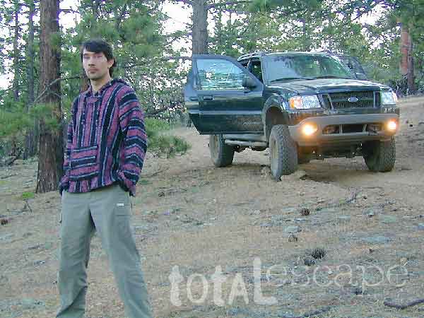
Los Padres Maps are perfect for exploring the gorgeous California Central Coast, from the beaches of Big Sur to hiking canyons of Ojai CA – National Forests North of L.A.
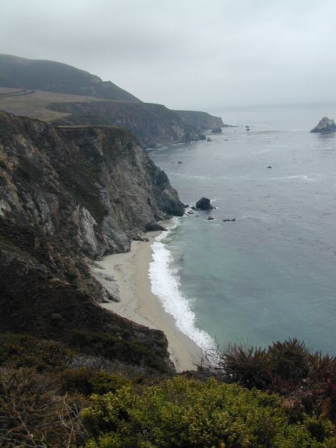
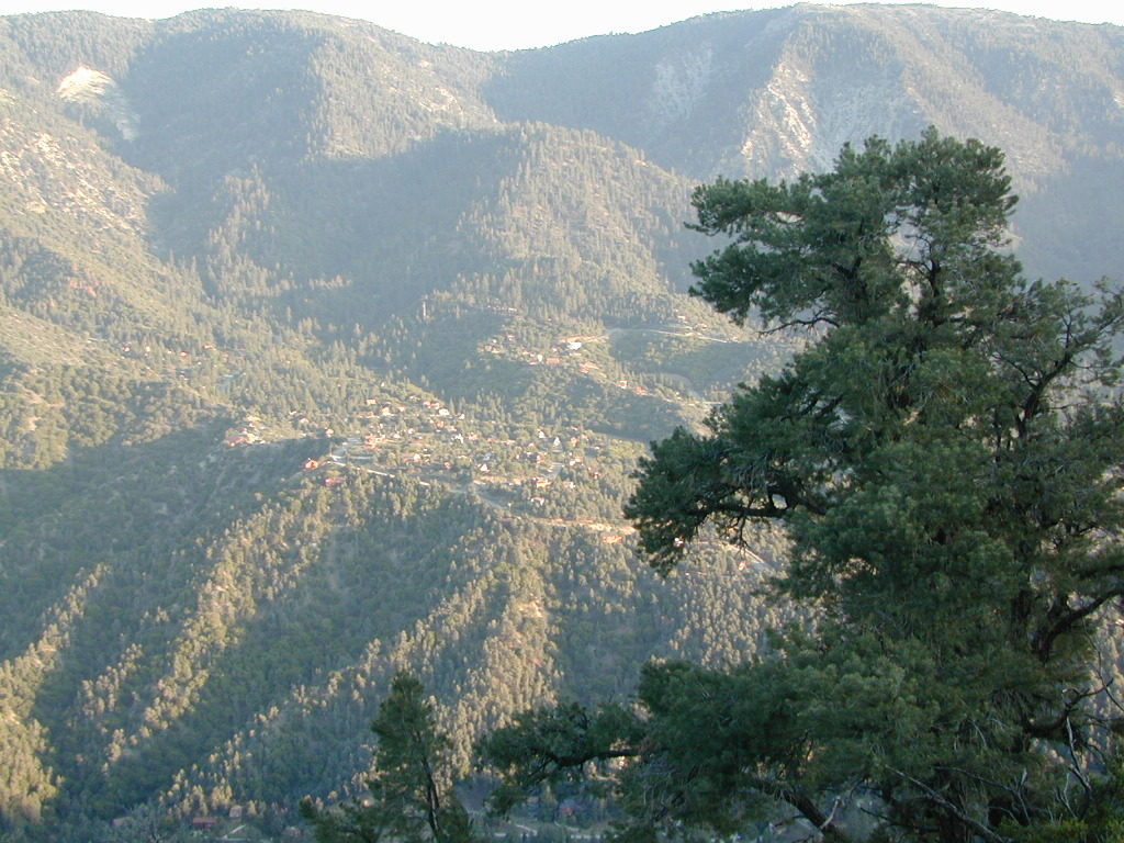
There are numerous maps covering the coastal mountain regions of Los Padres NF, which spans from Monterey Bay in the north to the Ojai mountains in the south, and eastward to Tejon Pass @ Interstate 5. Many folks call this area the Santa Barbara mountains, but it is so vast that it covers way more than just the coastline.
Los Padres Maps
The National Forest Service makes two forest maps and two wilderness maps; USDA maps include: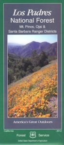
- Los Padres National Forest NORTH
- Los Padres National Forest SOUTH
- Chumash Wilderness
- Dick Smith Wilderness
- Ventana Wilderness
- Silver Peak Wilderness
 NatGeo, short for National Geographic makes three Trails Illustrated maps: colorful, topographic publications covering the entire Big Sur coast line, plus the mountain areas:


Los Padres Topo Maps: Smaller map publishers have entered the scene, producing topographical maps for Los Padres wilderness regions, where there were voids:
Tom Harrison Maps –
Bryan Conant –


Ozena Views, from Lockwood Valley Road

Los Padres National Forest Atlas:
All Topo Quads

Los Padres Digital Maps
Los Padres OHV 4×4 MAPS
Numerous off-road maps available as downloads (for free)

apps/maps:
download digital topos & maps
Alamo Mtn / Miller Jeep Trail Map
Apache Canyon Topo Map USFS
Ballinger Canyon OHV Trails 4×4
Bates Canyon New Cuyama Map USFS
Camp Scheideck Reyes Peak USFS
Cone Peak Big Sur Map USFS
Cuddy Valley Topo Map USFS
Figueroa Mountain Topo Map USFS
Frazier Mountain Topo Map USF
Lake Cachuma Topo Map USFS
Lockwood Valley Topo Map USFS
Los Olivos Topo Map USFS
Los Padres MVUM – Navajo Flat (free)
Los Padres NF Visitor Map (South)
Los Padres NF Visitor Map (Central)
Los Padres NF Visitor Map (North)
Matilija Canyon Wilderness USFS
Mount Pinos OHV Guide East(free)
Mount Pinos OHV Guide West (free)
NatGeo 812 – Los Padres National Forest East
NatGeo 813 – Los Padres National Forest West
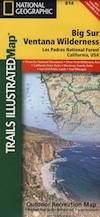
NatGeo 814 – Big Sur, Ventana Wilderness
Ojai Topo Map USFS
Santa Lucia OHV 4×4 Trails (free)
Sawmill Mountain Map USFS
Sespe Wilderness Topo Map
Tassajara Hot Springs Big Sur USFS
Ventana Cones Big Sur Map USF
Wheeler Springs Topo Map USFS
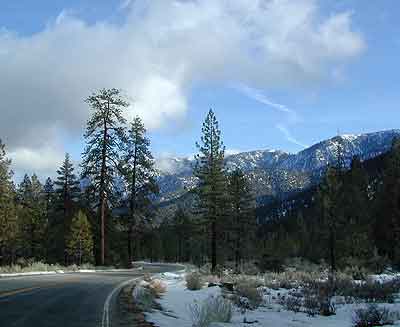
Snowy Mil Potreo Highway, W of PMC
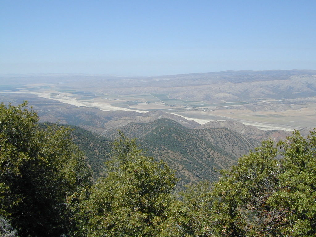
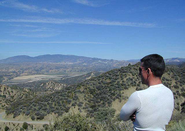
Cuyama River Valley as seen from the old fire lookout tower on Cuyama Peak
more links for this area –
Beautiful PMC = Pine Mountain Club