Ventana Wilderness Map

Ventana Wilderness
Big Sur Hiking Maps
Ventana Wilderness Map

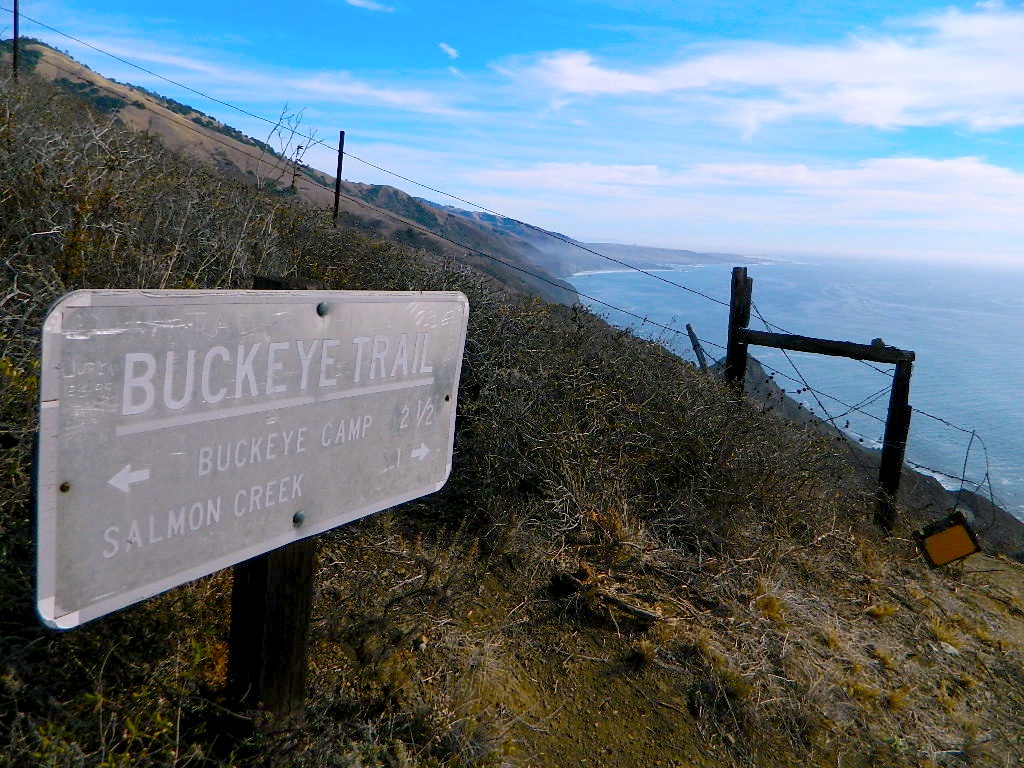
Buckeye Trail in Silver Peak Wilderness

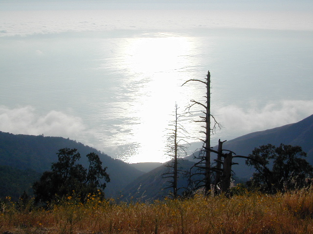
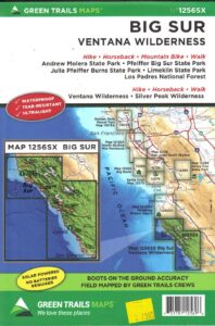
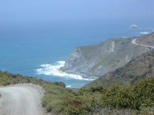
Several map makers offer topographic hiking maps for the Ventana Wilderness Map, located on the super scenic Big Sur coast in California. Silver Peak Wilderness is to the south of Ventana, and usually included on the same map. Perfect for day hikes, overnight backpacking trips or just getting an impressive view of the Pacific Ocean.

ventana map

Ventana Wilderness

Silver Peak Wilderness

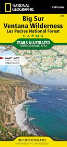
Big Sur NatGeo Map

Ventana Wilderness Map USDA
found at USGS: Ventana Trail MapVentana Wilderness Map
Silver Peak Wilderness located inside the northern section of Los Padres National Forest (Monterey County California)

If you plan on backpacking the Big Sur Coast, this is the California topo map you will need. This map covers both the southern section – Silver Peak Wilderness & the northern most Ventana hiking areas. This map covers everything south and east of Andrew Molera State Park over to Sierra de Salinas near Hwy 101, and southward to Ragged Point & Windy Point in the southern Big Sur coastline. Camp in coastal redwood groves, hike the trails with outstanding views over the Pacific Ocean, and play in the numerous fern lined creeks.

Map printed with vegetable oil based ink, on waterproof polypropylene plastic. Might be available from Los Padres USFS Ranger Stations. USDA printing 2007; Scale 1: 63 – ISBN# 9781593514655
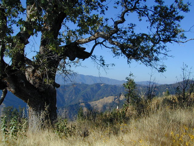
Ventana Wilderness Map

Big Sur Wilderness Press

Ventana Wilderness Map

big sur back roads

nearby towns:

Ventana Wilderness Map

ocean glare afternoons

day hikes big sur

see also –

Big Sur Books
Big Sur Maps
Los Padres National Forest Maps
Los Padres Forest Atlas

Los Padres Forest Topo Atlas

Los Padres Atlas
Topographic Map USDA

Los Padres Atlas USDA

Los Padres Forest Atlas

USFS, United States Forest Service – aka National Forests

Ventura, Ojai, Santa Barbara Mountains, Mount Pinos, San Luis Obispo, Big Sur Coast
Mountains: Central Coast California

Los Padres National Forest

Los Padres Forest Atlas

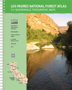
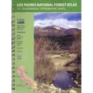
a spiral bound book – a collection of all the quads. (7.5 minute topographical maps, of all of Los Padres National Forest) It includes both Los Padres NORTH (Monterey) & SOUTH (Ojai/Pinos). This book map has detailed topo lines, mountain peaks, streams, lakes, hiking trails & back roads. Perfect for all kinds of recreational needs.

camp maps

Los Padres Forest Atlas

Older version of Los Padres Atlas

Los Padres Forest Atlas
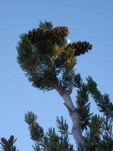
Big Sur Coastal Mountains

Los Padres Forest Atlas
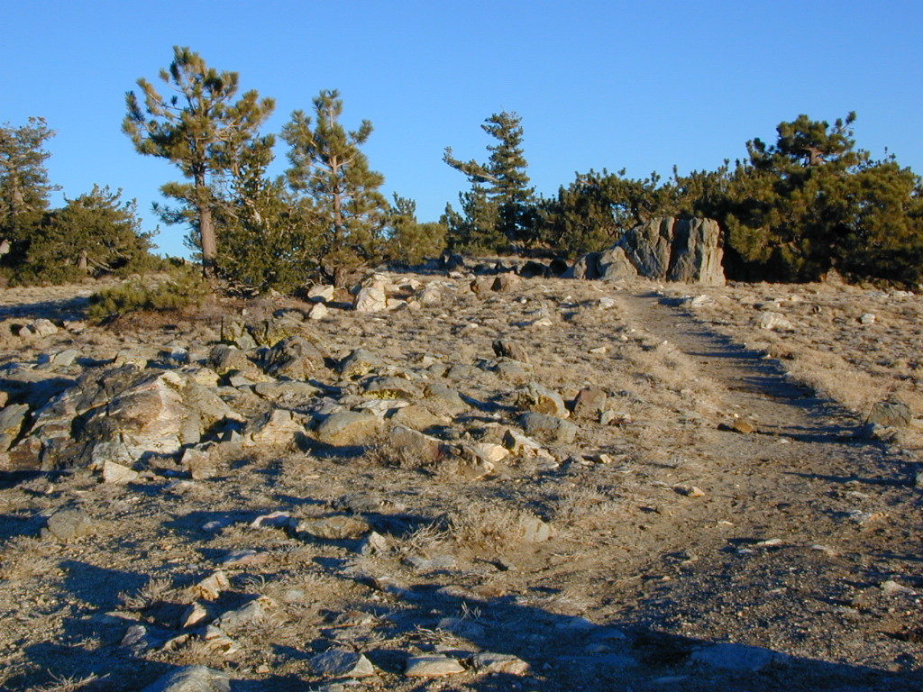
camping & exploring, Los Padres –
links and destinations

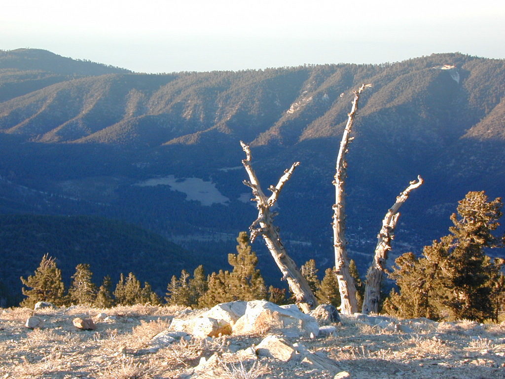
Pine Mountain @ Mil Potrero, as seen from top of Mount Pinos, CA

Mt Pinos California

pinos trails

Hiking Trails on Mount Pinos

see also –

Big Sur Maps
Los Padres National Forest Map
Sespe Wilderness Map 

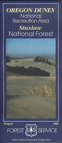
Oregon Dunes Map

Oregon Dunes Map

2022 – IN STOCK

oregon dunes map
Oregon Dunes Map

2022 currently this map is unavailable on Amazon; might still be found at local ranger stations

Sand Dunes NRA, Siuslaw National Forest, Oregon

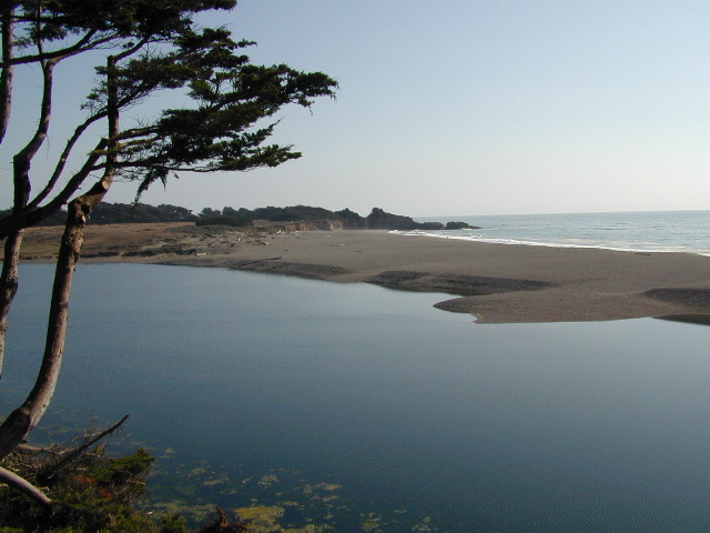
Oregon Sand Dunes – Camping on the Oregon coast.
Florence OR, Oregon Dunes Campgrounds

4x4 mapsOregon Dunes National Recreation Area Map, Siuslaw National Forest Oregon, Oregon Dunes NRA, OR Beaches, Oregon coast map. Oregon Dunes Camping, off-road, OHV, ATV. Lagoon Campground, Driftwood II Campground, Goose Pasture, Siltcoos Beach. Westlake, Florence OR, Reedsport, Coos Bay Oregon Maps. Printed in paper in 1995

Oregon Dunes Map

see also – 

Rogue River National Forest Map
Rogue River Float Guide
Six River National Forest Map
Siskiyou Map
Smith River Map
Coastal Maps for California 

Sonoma Maps

Sonoma County Maps

Explore more trails in parks, on beaches, in forests and on mountain peaks with a Sonoma County Trails Map. Covers the whole county and is suitable for all kinds of outdoor recreation.

California Wine Country / Sonoma Map / Hiking Trail Maps
Sonoma Coast State Park, Hiking, Biking, Horseback Trail Maps

horseback


Gualala

nearby towns:

Bodega Bay, CAhikers map
Cazadero, CA
Cloverdale, CA
Duncans Mills, CA
Forestville, CA
Freestone, CA
Geyserville, CA
Glen Ellen, CA
Guerneville, CAfishing map
Healdsburg, CA
Jenner, CA
Kenwood, CA
Monte Rio, CA
Occidental, CA
Petaluma, CA
Santa Rosa, CA
Sea Ranch, CAcamp
Sebastopol, CA
Sonoma, CA
Valley Ford, CA
Windsor, CA

see also –
Mendocino National Forest Map
Mendocino Topo Atlas
Redwoods Map
SF Bay Area Maps
San Francisco Trail Maps