Sierra NF Map USDA
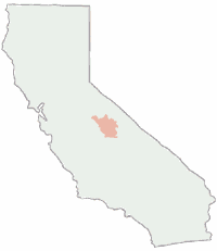
Central Sierra National Forest Map. USDA
Bass Lake, Shaver Lake, Huntington, Edison, Florence, Mammoth Pool, Yosemite West
Neighboring Yosemite National Park on the westside, Sierra NF is one of the most popular National Forest in U.S. – and California, due to its proximity to the National Park. John Muir Wilderness is within easy reach and trailhead parking can get close to higher elevations, via Lake Edison. Kings River w/ Pine Flat Reservoir and Kings Canyon National Park is on the south border of this forest.
Numerous reservoirs, big rivers, many creeks, meadows, granite walls, domes, mountain peaks. Wilderness trailheads, backpacking, boating, camping, fishing, hot springs, kayaking, mountain biking, mountaineering routes, off roading, river rafting, rock climbing, snowmobiling, snow ski & xc.
 Sierra National Forest
is located south of Yosemite National Park and east of Fresno, CA
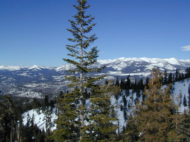
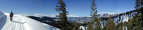
Panorama of the Backcountry, via SnowMo in mid-March
This huge National Forest experienced a very destructive wildfire in 2020, so the photos are how gorgeous this place was prior to that awful event.
Creek Fire 2020
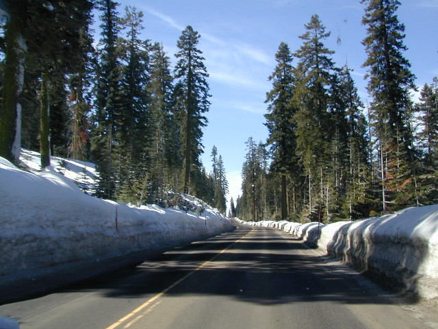
Highway 168 is plowed often
Sierra Maps for Central Sierra Mountains
Waterproof map of the Sierra Nevada. Quality USDA maps created for the National Forest Service. Yosemite West, Kaiser Pass, Kaiser Wilderness, Huntington Lake & Shaver Lake, Dinkey Creek, Wishon Reservoir & Courtright Reservoir. Western Sierra Nevada Wilderness.
Ranger Map – NFS issued map. GPS: Longitude & Latitude; Rivers, Creeks, Peaks, Elevations, 4WD & every dirt BackRoad, Hot Springs, Equestrian Areas, all Campgrounds, Hiking Trails & BackPacking Trailheads.
Areas include: Western Sierra, Sierra Summit, Mariposa, Wawona, Oakhurst, Merced River, Bass Lake, Huntington Lake, Shaver Lake, Kaiser Pass, Dinkey Creek, South Yosemite, Mono Hot Springs, San Joaquin River, Mammoth Pool Reservoir, Lake Edison, Florence, Wishon, Courtright, John Muir Trail/Wilderness, Ansel Adams Wilderness, Mammoth, Sierra Lakes, North Kings Canyon National Park, Pine Flat Reservoir, Black Rock Reservoir, Kings River, Monarch Wilderness.
Map Size: 36″x 40″ overall / 4″x9″ folded; Printed in 2011 on waterproof plastic. ISBN# 9781593514907
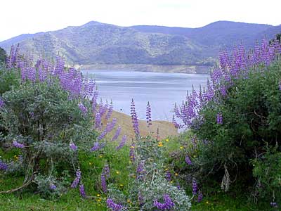
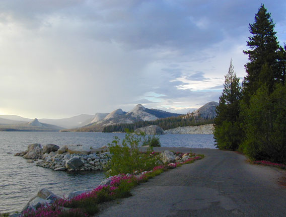
 Lupine @ Pine Flat Reservoir, Lower Kings River
Sierra National Forest
- BlackRock Reservoir
- Courtright Lake

- Coyote Lake
- Dinkey Creek
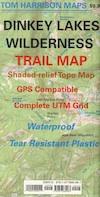
- Dinkey Lakes Wilderness
- John Muir Wilderness
- Kaiser Wilderness
- Kings River Camping
- Mammoth Pool

- McKinley Grove of Sequoia
- Red Lake 4×4 Camp
- Redinger Lake
- San Joaquin River
- Sierra Road #9
- Snow Mo the Sierra
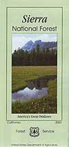
OLDER EDITION
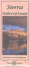
REAL OLD EDITION
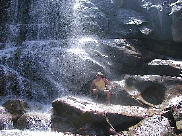
Rancheria Falls @ Huntington Lake, CA
Tom Harrison Map of Sierra National Forest
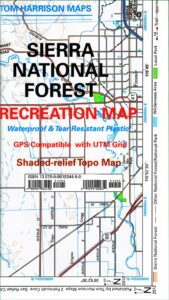
2026 OUTTA PRINT & unavailable online
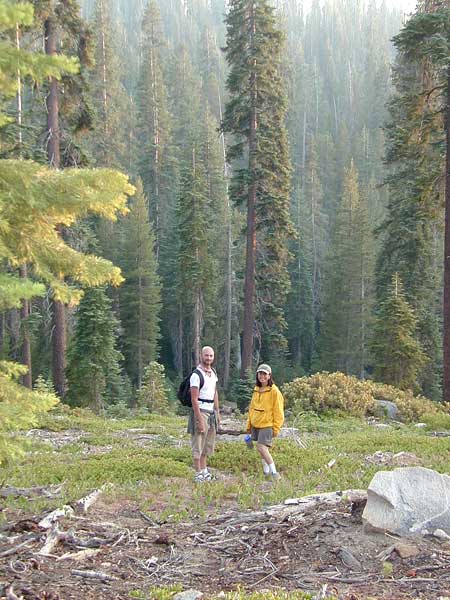
NOTE: Wildfire has recently ravaged about half of this National Forest, from Shaver Lake to Mammoth Pool Reservoir; Kaiser Wilderness, San Joaquin River, Huntington Lake, all the way out to Lake Edison. Many areas could be closed to logging and fire cleanup. Check with USFS web site for specifics.
Creek Fire 2020
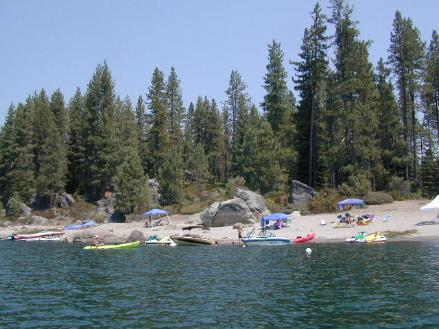
Shaver Lake Beaches by Boat
nearby towns:
- BASS LAKE
- CLOVIS
- COARSEGOLD
- COURTRIGHT RES.
- EDISON LAKE
- FISH CAMP
- HUNTINGTON LAKE
- LAKESHORE
- MONO HOT SPRINGS
- OAKHURST
- PINE FLAT LAKE
- SHAVER LAKE
- WISHON LAKE
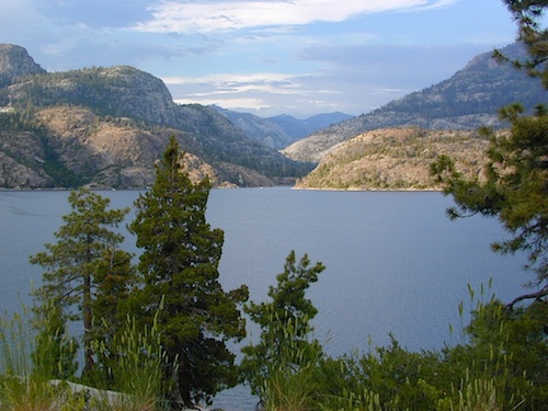
Wishon Lake (Reservoir)

NEW MAP by Calico Maps
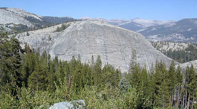
Climbing Wall @ Wishon
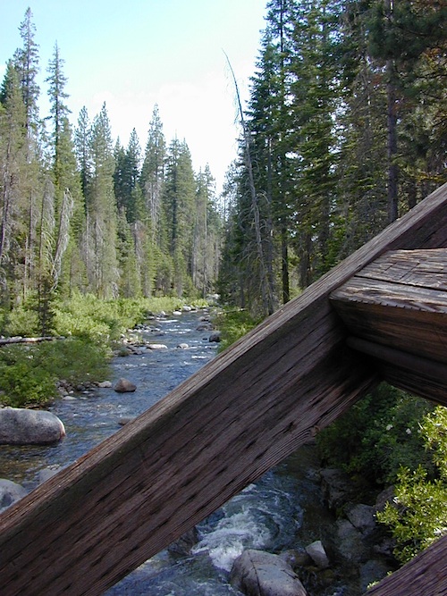
Dinkey Creek from Bridge