Jawbone Canyon OHV Map

Jawbone Canyon Map
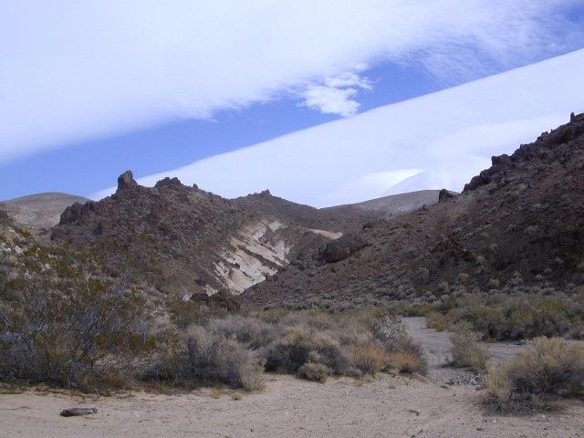
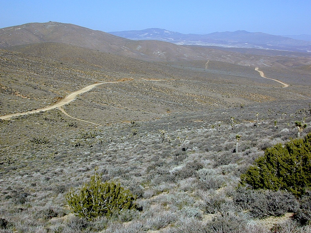
Jawbone Canyon is North Mojave Desert,
US Hwy 395 @ Hwy 14
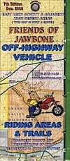
Jawbone Canyon Map

12th edition. jawbone.org

Jawbone Canyon Map

New features on map include – restroom and kiosk locations, updated GPS coordinates, updated trail routes and revised points of interest.

Off Road Map: Jawbone Canyon / Kelso Valley / Randsburg Ghost Town

Jawbone Canyon OHV North Mojave Desert Map; Topo features, Waterways, Trails & Roads. Motorized & no-motorized trails. Eastern Kern County High Desert. Spangler Hills OHV, Trona Pinnacles National Monument, Randsburg OHV, Red Mountain, Johannesburg, Red Rock Canyon State Park, Last Chance Canyon, El Paso Mountain Wilderness, Desert Tortoise Preserve, Kiavah Wilderness, Dove Springs OHV, Bright Star Wilderness, Tehachapi Loop, Walker Basin, California City, BLM Camping Mojave California Desert Trails, Southern Sierra OHV.  Map by Friends of Jawbone w/ California Trail Users Coalition

SoCal Off-Road, OHV Parks, Dove Springs, Jawbone Canyon, Dirt Bike Maps, offroad, North Mojave Desert, Trona Road


avenza mapsget a digital version of this map
CTUC Jawbone Canyon OHV Map

driftwood

Jawbone Canyon Map

Camping Last Chance Canyon

Jawbone Canyon Map

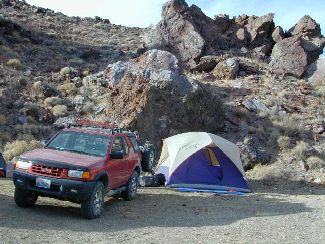
California Mojave Desert OHV Camping:

Do the off-roader RVs really roast a turkey in the ground at Jawbone Canyon?

Death Valley National Park is a land to be visited, during winter months (NOV-APRIL)

Randsburg – Living Ghost Town, off US Highway 395
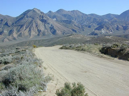
Jawbone Canyon Map

Jawbone Canyon leads up to Kelso Valley & Bright Star Wilderness, eventually up to Lake Isabella near Kern River, Southern Sierra California

see also –

Inyo National Forest Map
Inyo Forest Topo Atlas
Sequoia National Forest Map
Sequoia Forest Atlas
Southern Sierra Map

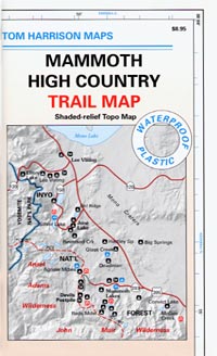
Mammoth High Country Map

Mammoth Mountain California

Mammoth High Country Map
Tom Harrison

Tom Harrison Maps: Mammoth Trail Map, Ansel Adams Wilderness, Eastern Sierra Nevada; Areas include: Hiking Minarets, June Lake, Lee Vining, Ritter Range, Convict Lake, Devils Postpile, Mono Craters, Mono Lake Volcanic, Thousand Island Lake, Mammoth Lakes, Agnew Meadows.

Recreation Map; Durable, waterproof plastic map; Folded. Map Scale: 63K; ISBN# 9781877689567

avenza mapsdownload digital version of this map –
Mammoth High Country Map

Mammoth High Country Map

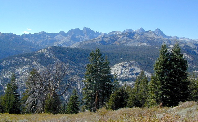
The Minarets @ Mammoth

Mammoth Mountain is a lava dome complex in Mono County, California. It lies in the southwestern corner of the Long Valley Caldera and consists of about 12 rhyodacite and dacite overlapping domes. These domes formed in a long series of eruptions from 110,000 to 57,000 years ago, building a volcano that reaches 11,059 feet in elevation. During this time, massive dacite eruptions occurred roughly every 5000 years. The volcano is still active with minor eruptions, the largest of which was a minor steam eruption 700 years ago.

Mammoth Mountain also lies on the south end of the Mono-Inyo chain of volcanic craters. The magma source for Mammoth Mountain is distinct from those of both the Long Valley Caldera and the Inyo Craters. Mammoth Mountain is composed primarily of dacite and rhyolite, part of which has been altered by hydrothermal activity from fumaroles (steam vents).

nearby destinations:

see also –
Ansel Adams Wilderness Map
Devils Postpile Trail Map
Mammoth Lakes Map NatGeo
Mono Divide Highcountry Map

Mammoth High Country Map

Lake Genevieve

Mammoth High Country Map

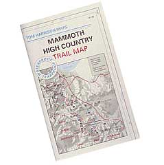
PREVIOUS EDITION MAP

Mammoth High Country Map

OLDER MAMMOTH MAP


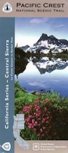
PCT Map #4 Mid Sierra

USDA PCT Map 4
PCT Map #4 Central Sierra Nevada Mountains

Le Conte to Lake Tahoe

Pacific Crest Trail National Scenic Trail
PCT – Hiking Map 4

USDA PCT Map 4

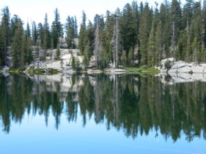
ALPINE LAKES, everywhere!

Sierra Nevada Mountains, spanning from Le Conte Canyon to Barker Pass, on the west side of Lake Tahoe. Kings Canyon National Park northward to Lake Tahoe. Covers most of the High Sierra (N of Whitney) and so much more; from Bishop Pass, Mammoth Lakes, Yosemite National Park, Sonora Pass, Emigrant Wilderness, Ebbetts Pass, Carson Pass, and then overlook the massive mountain lake known as Tahoe. USDA, Large fold out map, durable waterproof paper w/ sturdy cardboard cover. ISBN# 9781593514716

USDA PCT Map 4
USDA PCT Map 4

LOCALS TIP: If you must hike only ONE SECTION of the PCT, then this one stretch, LE CONTE to LAKE TAHOE, is by far the best for high altitude beauty.  Granite peaks, passes, total alpine lake bliss, with incredible mountain scenery. When you must limit your big adventure trek, due to time constraints, this portion is some of the most beautiful high elevation terrain in the whole darn nation. Seriously. Better than a movie!

Services like grocery, laundromats, hotels, restaurants, post office, available in SLT (South Lake Tahoe). Postal, food & lodging can be had in numerous locations along certain high country routes – like Vermillion Resort @ Lake Edison. The PCT guide books give good descriptions of these handy trailheads with services, in way more detail.

USDA PCT Map 4

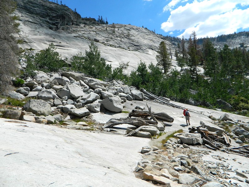
Yosemite Granite

see also –
Kearsarge Pass Trail Map
Kings Canyon Highcountry Map
Sequoia Kings NP Maps
Mono Divide Highcountry
Mammoth & Mono Map by NatGeo
Mono Lake Map
Yosemite Maps by NatGeo
Yosemite Maps by Tom Harrison
Emigrant Wilderness Map
Toiyabe National Forest Map
Hoover Wilderness Map
Lake Tahoe Maps

USDA PCT Map 4

Carson Iceberg Wilderness

Mono Divide High Country Map

Mono Divide Trail Map

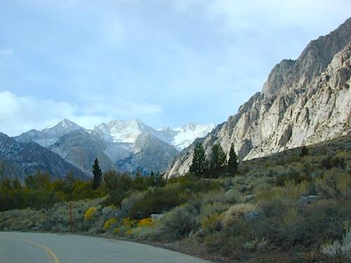
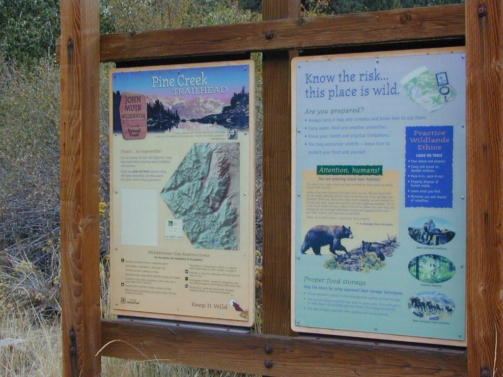
Pine Creek Canyon, N of Bishop, CA


Mono Divide Map
Tom Harrison Trail Maps

Mono Divide High Country, June Lake

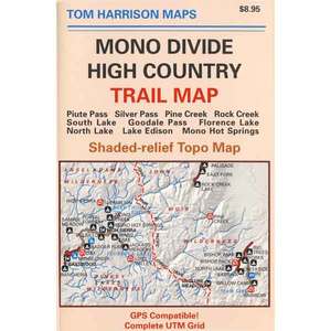
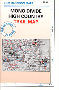
Mono Divide High Country, Mono Backpacking Map, High Sierra, Alpine & Eastern Sierra Camping Maps; NOTE: this area is NOT @ Mono Lake

This regional map of the high country Sierra Nevada includes E of Fresno (Hwy 168) Mono Hot Springs, San Joaquin River headwaters, Edison Lake, Florence Lake, parts of Kaiser Pass, Bishop Pass areas of Sabrina Lake, South Lake, & even Rock Creek Camping. High Sierra Trails by Tom Harrison, Mono Divide High Country, Sierra High Country Hikes, Backpacking Sierra Nevada, Mammoth Hiking Trails, Sierra Nevada Topo, Waterproof, Topographic Maps California.
Durable, waterproof plastic map; Folded. Map Scale: 63K; ISBN# 9781877689468

avenza mapsdownload digital version of this map –
Mono Divide High Country Map

Mono Divide Trail Map

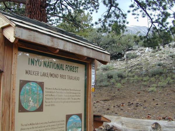
Mono Pass Trailhead @ Walker Lake

Mono Divide Trail Map

Mono Divide Trail Map

OLD VERSION

Mono Divide Trail Map

REAL OLD ONE

see also –
Mammoth Highcountry Map by Tom Harrison
Mammoth Lakes Mono Divide Map NatGeo
Mono Lake Map

John Muir Trail Maps

Mono Divide Trail Map

Pine Creek Trailhead