PNW
PNW
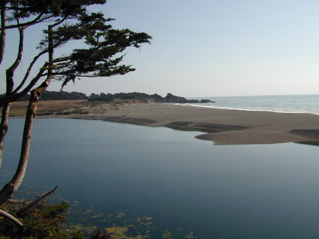
The Pacific Northwest region covers both Washington and Oregon, which are directly north of California. Abundant mountains with forests, rivers and waterfalls.
Hiking Books for Oregon State


Oregon is a state in the Pacific Northwest region of the United States. The Columbia River delineates much of Oregon’s northern boundary with Washington, while the Snake River delineates much of its eastern boundary with Idaho. The 42° north parallel delineates the southern boundary with California and Nevada.
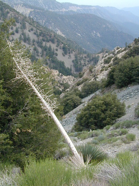
Oregon is one of the most geographically diverse states in the U.S., marked by volcanoes, abundant bodies of water, dense evergreen and mixed forests, as well as high deserts and semi-arid shrublands. Mount Hood, a stratovolcano, at 11,249 feet elevation is the state’s highest point. Oregon’s only national park, Crater Lake National Park, comprises the caldera surrounding Crater Lake, the deepest lake in the United States. The state is also home to the single largest organism in the world, Armillaria ostoyae, a fungus that runs beneath 2,200 acres of the Malheur National Forest.
Because of its diverse landscapes and waterways, Oregon’s economy is largely powered by various forms of agriculture, fishing, and hydroelectric power. Oregon is also the top timber producer of the contiguous United States, and the timber industry dominated the state’s economy in the 20th century. Technology is another one of Oregon’s major economic forces.
Oregon is 295 miles north to south at longest distance, and 395 miles east to west. With an area of 98,381 square miles, Oregon is slightly larger than the United Kingdom. It is the ninth largest state in the United States. Crater Lake National Park, the state’s only national park, is the site of the deepest lake in the United States at 1,943 feet.


see also –
Columbia River Map
Oregon Dunes Map
Rogue River Float Guide
Rogue River National Forest Map