Lake Tahoe Maps

Maps of Lake Tahoe California
Lake Tahoe Maps

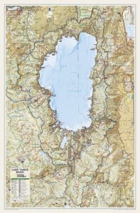
Lake Tahoe Maps come in all shapes and sizes. For example, National Geographic makes a large Wall Map for display, listed at the bottom of this page. Furthermore, many recreation maps covering a wide range of activities, are also found for the Tahoe region.

Listed are topographic maps for fishing, day hiking, mountain biking, peak climbing, backpacking, camping, off-roading, cross country skiing, as well as back country snow skiing.

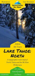
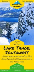
Backcountry Ski Maps for TahoeLake Tahoe Maps

Ski Maps Tahoe N

Tahoe Ski Map

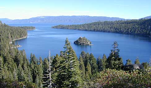
Lake Tahoe is one of the most popular destinations in all the Sierra Nevada mountains. Its proximity to Interstate 80 (Donner Pass), in addition to large cities such as – Reno, Nevada and Sacramento, California – make it an easy to reach location that is focused on outdoor recreation vacations. Snow is usually present more than half the year, and winter blizzards can blow hard in these higher elevations. Be prepared drive with chains and enjoy being snowed-in, when the real dumping starts. Consequently, be ready to escape to the indoors, with the casinos of South Lake Tahoe.

Largest freshwater, alpine lake in North America.
Second deepest lake in the U.S.
Second highest lake in the U.S.

LAKE TAHOE – 6625′ elevation above sea level

Franko Maps
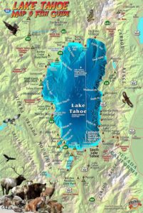
Lake Tahoe Map & Fish Guidefishing map

Franko Map Tahoe Fish

Tahoe Wall Map in Tube
Lake Tahoe Wall Map

Sierra Nevada Topo Map

Sierra Nevada Maps

Lake Maps

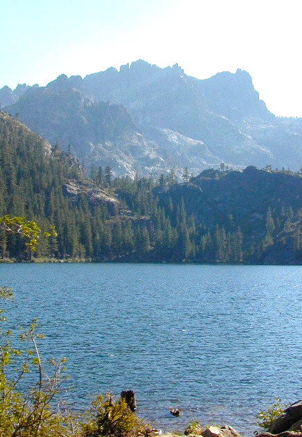
Sierra Buttes, North Sierra Nevada

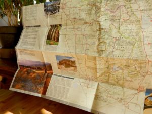
Sierra Nevada: NatGeo Destination Map

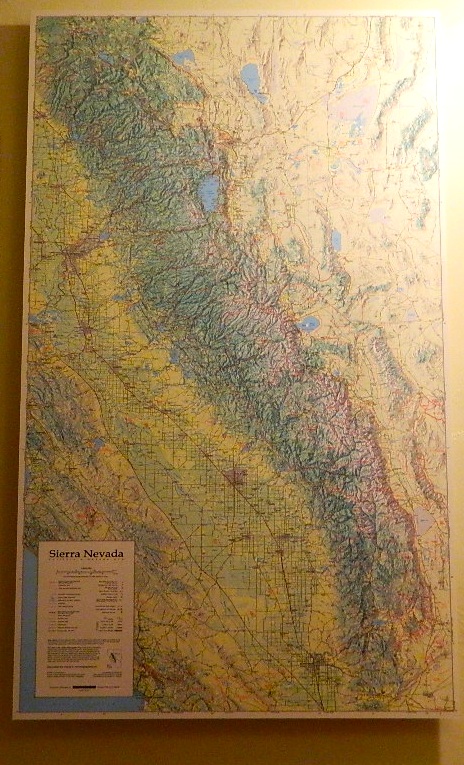
National Geographic makes a really nice overview map for the Sierra Nevada mountains. They call it a “Destination Map” and it has color photos, features areas of interest, highways, park boundaries. Shaded relief topographic, 2-sided, full color and folded. ISBN# 9781597754491

Sierra Nevada map

Decent overview map for planning out trips and getting a good feel as to the ‘lay of the land’. Much of the mountain range can only be crossed on foot, as there are no roads across the mid-section!

Sierra Map National Geographic

Click to Expand

  • canyons
  • forests
  • highways
  • lakes
  • parks
  • peaks
  • reservoirs
  • rivers
  • small towns

Sierra Mountains Map

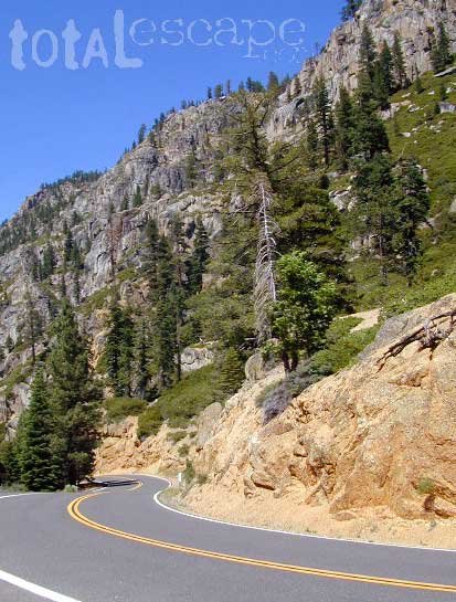
Sonora Pass, Highway 108, Central Sierra Nevada

natgeo maps

imus map

IMUS Sierra Nevada Topo Map

Sierra Nevada Map published by Imus Geographics, features all outdoor recreation – for just about any adventure seeker or tourist. A great overview map w/ trail heads, paved roads & camping. Map shows Sierra Rivers & Lakes, Sierra hiking trails, backpacking routes, National Parks, all Sierra Wilderness Areas, towns, Campgrounds. From Mount Lassen to Tehachapi Pass. Topographical map can be used for trip planning, routing, driving to Sierra destinations, reference. Map SCALE 500K; High-strength paper map. Folded size = 6 inches x 9 inches / Topo California High Sierra. First Edition 2006. ISBN# 9780966534528

Imus Sierra Nevada Wall Map

Imus Sierra Nevada Map, mounted wall map


Sierra Maps

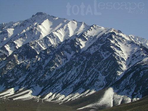
Eastern Sierra = extreme mountain peaks

pct topo map
PCT TOPO MAP

see all
Sierra Nevada wilderness
& topo maps