Sequoia Maps
Kings Cyn Map
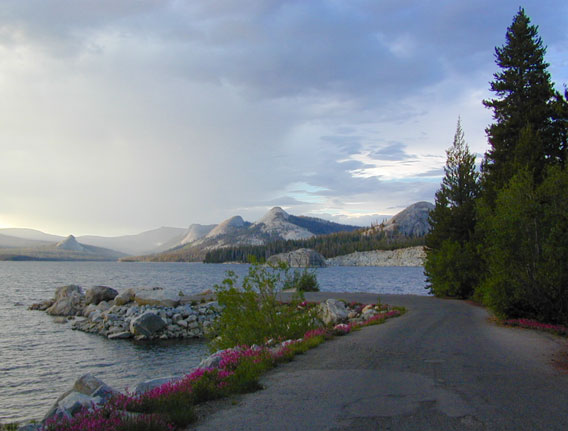
One of the most visited areas of the Sierra Nevada Mountains – Kings Canyon & Sequoia NP sit next door to each other, just south of Yosemite National Park.
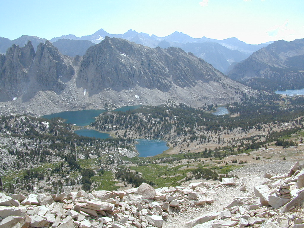
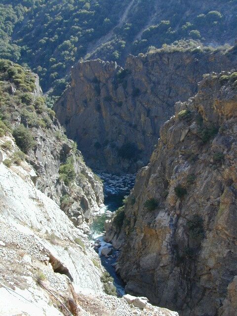
Kings Canyon National Park has a deep granite gorge with lower elevations, along the Kings River (the longest river in the Sierra). Plus Kings also has an expansive back-country – accessible only by foot, to High Sierra peaks and many alpine lakes.
On the south side, Sequoia National Park has a higher terrain with a highway skirting the ancient groves, on the west side of the Sierra range.
Several Maps for this Sierra National Parks region:
- Sequoia Kings Cyn Map NatGeo (see below)
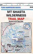
- Sequoia Kings Canyon Map by Tom Harrison
- Sequoia National Forest Map USDA
- Sequoia Forest Topo Atlas
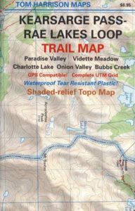
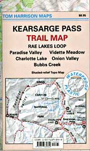
- Kearsarge Pass Map w/ Rae Lakes Loop
- Kings Canyon Highcountry Map
- Mineral King Canyon Map
- Golden Trout Maps
- Kern River Maps
- PCT Map #3 South Sierra
- South Sierra Map
![]()
Sequoia Kings Canyon
NatGeo Map #205
Trails Illustrated Map from National Geographic. NatGeo map #205. Sequoia National Park Map w/ Kings Canyon National Park. Mount Whitney, Giant Sequoia National Monument, John Muir Wilderness, Pacific Crest Trail. Topographic Hiking Maps, Sequoia Backpacking, Sequoia Camping, Sierra Lakes. Back Roads, Kings River Camping & Hiking Map.

Very detailed & colorful. Waterproof Plastic Map; Tear Resistant. GPS data. Scale 1:80,000 Contour Interval = 100 feet. Updated 2013. ISBN# 9781566952989
Kings Canyon Highway 180
- backpack
- camp
- canyons
- climb
- creeks
- fish
- hike
- horseback
- lakes
- mountain peaks
- picnic
- rivers
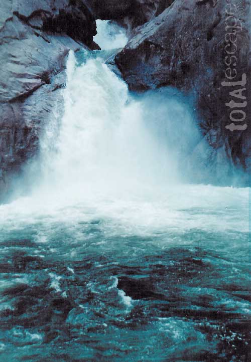
- waterfalls


Sequoia National Park &
Kings Canyon NP
Generals Highway Map

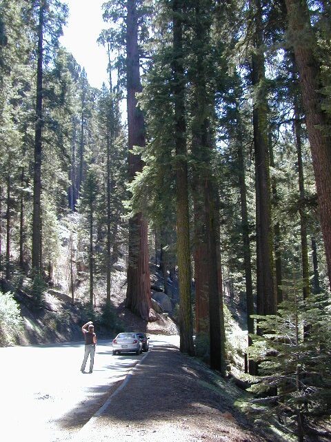
CALIFORNIA HWY 198: The Generals Highway is the main paved road that runs the ridge, north to south inside Sequoia National Park. Since they have named the giant redwood trees after famous military generals, the road name mirrors that theme.
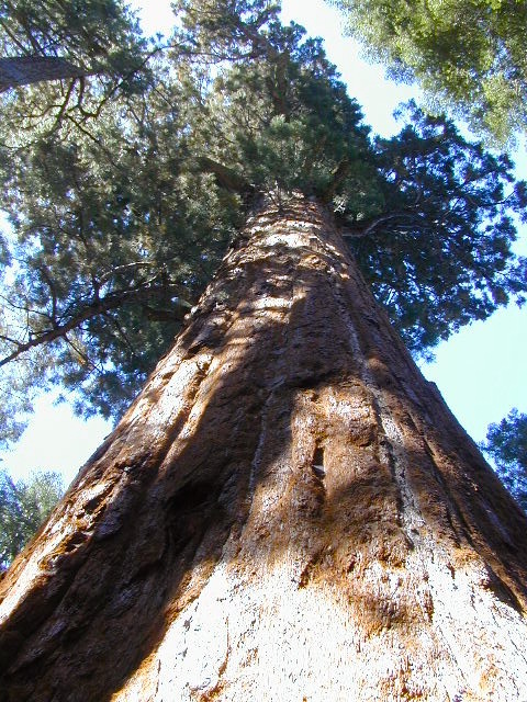
Now-a-days, our ancient and massive trees are fighting for their lives in a new type of war. Wildfires, drought and bark beetle infestations are taking their toll and killing these beauties. They have stood the test of time for thousands of years and withstood fires in the past, but recent blazes are hotter and more destructive than previous.
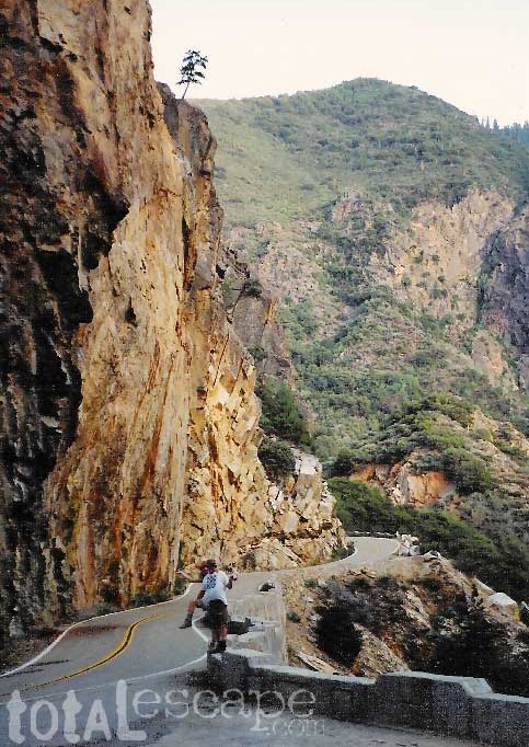
Kings Canyon Highway 180: A long, scenic, dead end road which descends dramatically into the river canyon. Elevation spans from 6600′ at Grant Grove to 4000′ at Cedar Grove at the end of the paved route.


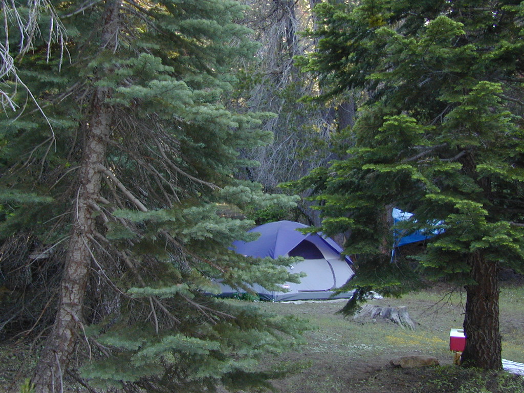

 Onion Valley Campground NFS