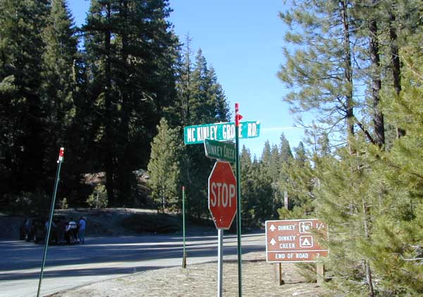
Dinkey Creek Map
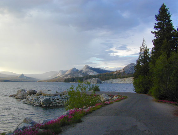
Dinky Lakes, California
Several map producers cover this popular western Sierra Wilderness region. Tom Harrison makes a hiking topo, so does the USDA. NatGeo even has a nice, new, colorful Shaver Lake Map.
Dinkey Lake, Dinky Creek, Sierra National Forest, Courtright Reservoir, Trailheads, OHV 4×4 Routes, Dusy-Ershim Trail, Red Lake, Coyote Lake, Ershim Lake, Crater Lake, Summitt Lake, Mallard Lake, Mystery Lake Trail, Swede Lake, South Lake, Rainbow Lake, Swamp Lake, Island Lake, Rock Lake, Little Lake, First Dinkey Lake, Cliff Lake, Nelson Lakes, Helms Creek, Perkins Camp, Florence Lake, Jackass Meadow, Badger Flat, John Muir Wilderness
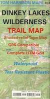
Dinkey Lakes Wilderness Trail Map
Topo Maps by Tom Harrison
Tom Harrison Trail Map: Dinkey Lake Wilderness , part of Sierra National Forest – Central Sierra California. Courtright Reservoir, Maxson Trailhead, OHV Swamp 4×4 Route, Dusy-Ershim Trail, Red Lake, Coyote Lake, Ershim Lake, Crater Lake, Summitt Lake, Mallard Lake, Mystery Lake Trail, Swede Lake, South Lake, Rainbow Lake, Swamp Lake, Island Lake, Rock Lake, Little Lake, First Dinkey Lake, Cliff Lake, Nelson Lakes, Helms Creek, Perkins Camp, Florence Lake, Jackass Meadow, Badger Flat, Borders the John Muir Wilderness to the east. Durable, waterproof plastic map; Folded. Map Scale: 42K; ISBN# 9781877689987
![]() download digital version of this map –
download digital version of this map –
Dinkey Lakes Wilderness Map
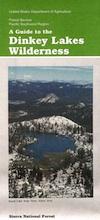
Dinkey Lake Wilderness Map USDA
Currently Unavailable Online. Available at Ranger Stations
Dinkey Lakes Trails / Dinkey Creek Camping
Dinkey Lakes Wilderness Map. Perfect for a day hike reference or extended backpacking adventures. Scale = 2″ to mile; Usually only found at Ranger Stations – Hard to find maps. Printed on paper; Last updated in 1991.

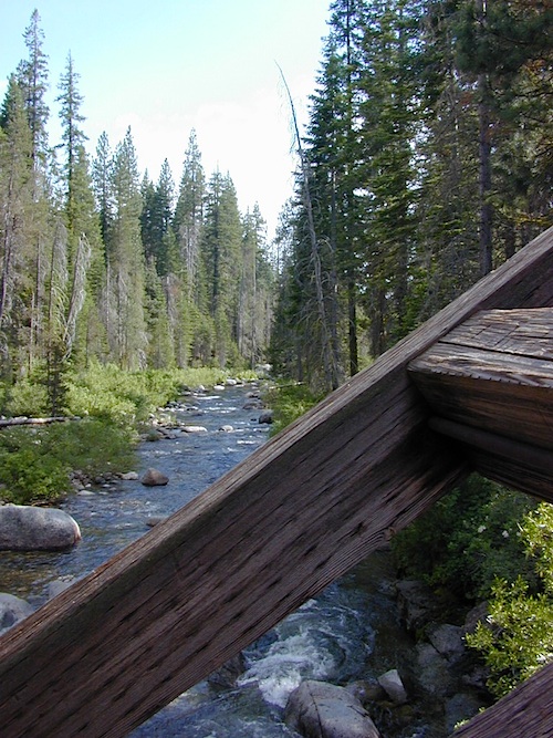
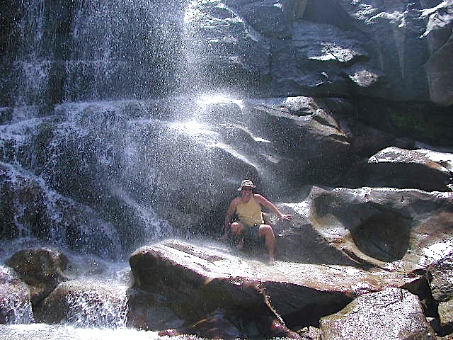
Dinkey Creek @ Dinkey Bridge
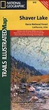
NatGeo Map #810 Shaver Lake
National Geographic Shaver Lake Map
 National Geographic Map #810; Shaver Lake Map, Huntington Lake, Sierra National Forest maps from National Geographic. 4×4 routes around the central Sierra Nevada. Dinkey Lakes Wilderness, Kaiser Wilderness, Rancheria Falls, Black Point, Lewis Creek Tamarack Creek, Red Mountain, Red Lake, Sierra Vista Scenic Byway, Sierra Heritage Scenic Byway. Hiking, mountain biking, horse back & OHV trails. Lake trails, wilderness trail, loop trail, lake campgrounds. Two sides, waterproof & tear resistant. Map Scale 1:63,360 / 1 inch = 1 mile. ISBN# 9781566952422
rancheria falls