California Trail Users Coalition

California Trail Users Coalition

The California Trail Users Coalition is a non-profit corporation designed to be a forum for all trail users (hike, mountain bike, horse, wildlife & vehicle) to discuss related issues, problems and alternative solutions; to assist in the planning, development, maintenance and hosting of trails; and to help enforce the rules of the road; and to develop and maintain programs designed to educate users on proper use of trails and trail etiquette.

Find all CTUC Trail Maps @ jawbone.org
jawbone.org/ohvmap/index.php/maps-guides/ctuc-trail-maps

California Trail Users Coalition

avenza maps Avenza Maps, offers apps and digital maps. Below are all the CTUC maps for California.

CTUC: California Trail Users Coalition Digital Maps
OHV,
SVRA, BLM, 4×4, ATV, UTE, SUV

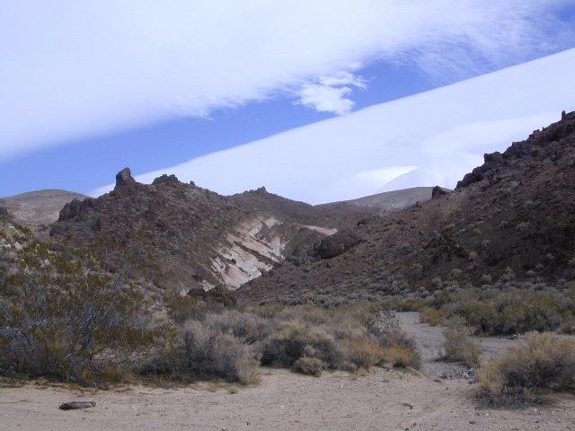
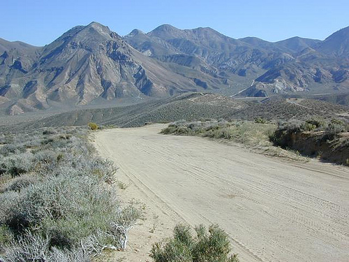
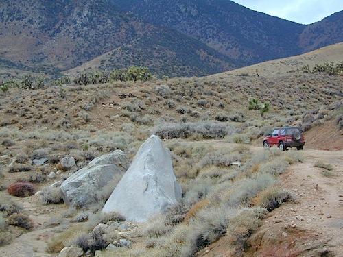
many desert locations, and some mountains

listed from north to south

CTUC Stanislaus NF & Yosemite OHV Map
CTUC High Sierra OHV Map
CTUC Sierra National Forest OHV Map
CTUC Sierra Bass Lake OHV Map

CYUC Inyo National Forest South
CTUC Inyo National Forest North

CTUC Sequoia NF & Kennedy Meadows OHV Map
CTUC BLM Keysville & Sequoia NF OHV Map

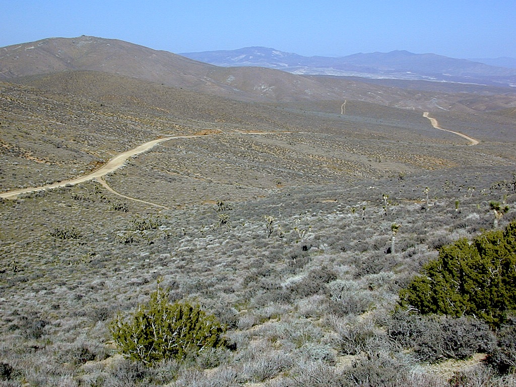
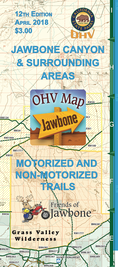
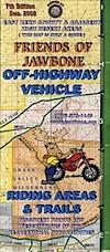
CTUC Jawbone Canyon & Randburg OHV Map
CTUC Panamint Valley OHV Map
CTUC Dumont Dunes OHV Map
CTUC Amboy Mojave OHV Map
CTUC Mojave El Mirage OHV Map

CTUC Needles OHV Map
CTUC Blythe OHV Map

CTUC San Bernardino & Barstow BLM OHV Map
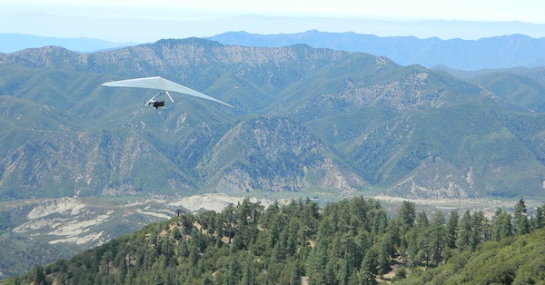
CTUC Angeles Forest OHV Map
CTUC Cleveland & Idyllwild OHV Map

CTUC Palm Springs OHV Map
CTUC Ocotillo Wells OHV Map

CTUC Imperial Sand Dunes Map

dirtbikersrandsburg

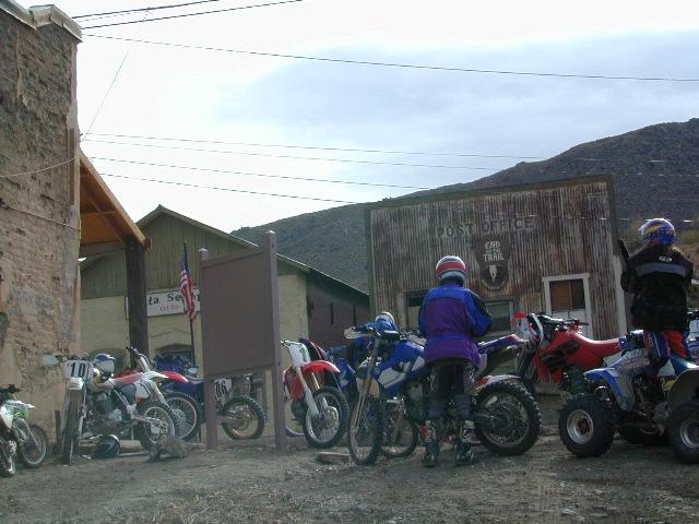
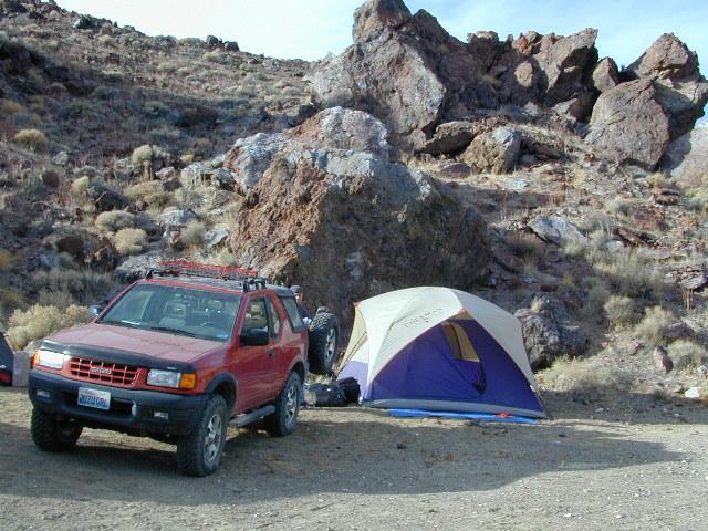
Dirt Bikers @ Randsburg Ghost Town, North Mojave, CA

driftwood

tire

solo_driver

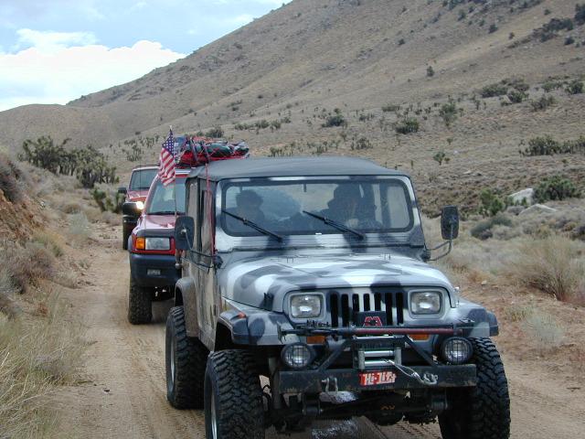
Horse Canyon, North Mojave Desert

Los Padres Map South

Los Padres National Forest Map: South

NFS – USDA – U.S. Forest Service

Los Padres Forest Map, Gorman, Frazier Park, Mt Pinos, Sespe Wilderness, Mount Pinos Recreation Area, Ojai & Santa Barbara Ranger Districts. Waterproof Map; water & tear resistant. GPS: Longitude & Latitude; Rivers, Creeks, Peaks, Elevations, 4WD & every dirt BackRoad, Hot Springs, Equestrian Areas, all Campgrounds, Hiking Trails & BackPacking Trailheads.

Areas Include: Central Coast California, Santa Barbara, Frazier Park, Ojai, Sespe Wilderness, Hungry Valley Park. Ranger Map – NFS issued map. GPS: Longitude & Latitude; Rivers, Creeks, Peaks, Elevations, 4WD & every dirt BackRoad, Hot Springs, Equestrian Areas, all Campgrounds, Hiking Trails & BackPacking Trailheads. Areas include: Central Coast California, Ventura County, Santa Barbara County, Goleta, Ojai, Frazier Park, Lockwood Valley, Sespe Wilderness, Camp Scheideck, Reyes Peak & Reyes Creek, Condor Sanctuary, Santa Ynez Mountains, San Rafael Wilderness, Chumash Wilderness, Dick Smith Wilderness, Hungry Valley State Vehicular Recreation Area, Jameson Lake, Pyramid Lake, Ozena, Sespe Hot Springs.

Map Scale = 1:126,720. Size: 27″x 48″ overall / 4″x9″ folded; Printed on plastic waterproof. ISBN# 9781593515195

Camping Piru Creek

Los Padres National Forest

4x4 maps
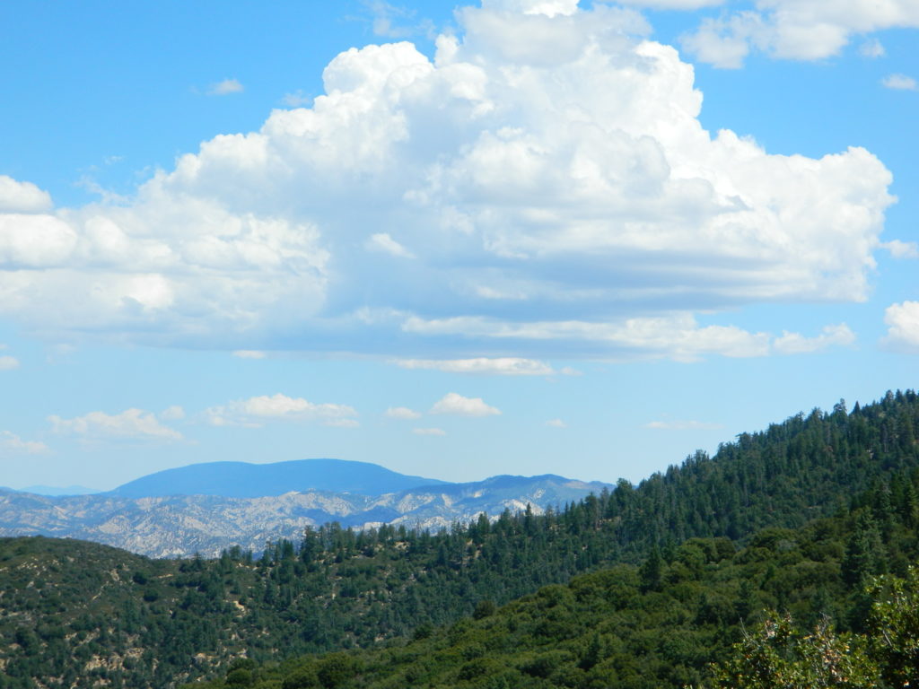
Excellent mountain biking trails on Mount Pinos. Chumash Wilderness is accessible via Quatal Canyon, a long red dirt road with abundant scenery. Sespe Hot Springs requires a very long hike in, best done as an overnight backpacking trip. Camp O Alto is the ridge top campground at Mount Able.  Miller Jeep Trail 4×4 Route, is located off of Lockwood Valley Rd. 4×4 Camping on Tecuya Mountain near Cuddy Valley. Free Campgrounds can be found in Los Padres.

pmcfromtop

Pine Mountain Club, as seen from top of Mount Pinos, CA

nearby towns:

wildflowers

Los Padres is wildflower country

see also – NatGeo Los Padres East Map

Los Padres Map West

Los Padres NF West
NatGeo Map #813

Los Padres Map WestNational Geographic makes the Trails Illustrated Map for the west side of Los Padres NF. The Santa Barbara Mountains, Santa Maria, Santa Lucia Mountains and San Luis Obispo area.

Los Padres Map WestArroyo Grande, Cuyama River, Garcia Wilderness, Goleta, Grover Beach, Irish Hills, La Panza Range, Lake Cachuma, Los Padres National Forest, Machesna Mountain Wilderness, Point San Luis, Purisima Hills, San Luis Obispo, San Luis Obispo Bay, San Rafael Mountains, San Rafael Wilderness, Santa Lucia Wilderness, Santa Margarita Lake, Sierra Madre Mountains, Sisquoc River, Timber Peak. Gaviota State Park; Pismo Beach, Refugio SB and El Capitan State Beaches; Lake Cachuma; Chumash Painted Cave State Historic Park; Sisquoc Wild and Scenic River; Oceano Dunes State Vehicular Recreation Area; and Santa Margarita Lake Regional Park.

Los Padres Map West

Launch Spot @ Pine Mountain Reyes Peak

4x4 mapsExcellent hiking and wildflowers at Figueroa Mountain. 4×4 trails and camping at Rock Front Ranch. Santa Lucia off Hwy 166, has abundant dirt back roads and a long hike to indian petroglyphs. Pozo Saloon is located in the San Luis Obispo backcountry.  Gaviota Hot Springs is a short hike near US Hwy 101. Small Campgrounds can be found in Los Padres.

camp map

Camping near Reyes Peak @ Pine Mountain, Hwy 33

Los Padres Map West

see also – 

Los Padres Map East
Los Padres Forest Atlas
Dick Smith Wilderness Map
Sespe Wilderness Map

Jawbone Canyon OHV Map

Jawbone Canyon Map
Jawbone Canyon is North Mojave Desert,
US Hwy 395 @ Hwy 14

Jawbone Canyon Map

12th edition. jawbone.org

Jawbone Canyon Map

New features on map include – restroom and kiosk locations, updated GPS coordinates, updated trail routes and revised points of interest.

Off Road Map: Jawbone Canyon / Kelso Valley / Randsburg Ghost Town

Jawbone Canyon OHV North Mojave Desert Map; Topo features, Waterways, Trails & Roads. Motorized & no-motorized trails. Eastern Kern County High Desert. Spangler Hills OHV, Trona Pinnacles National Monument, Randsburg OHV, Red Mountain, Johannesburg, Red Rock Canyon State Park, Last Chance Canyon, El Paso Mountain Wilderness, Desert Tortoise Preserve, Kiavah Wilderness, Dove Springs OHV, Bright Star Wilderness, Tehachapi Loop, Walker Basin, California City, BLM Camping Mojave California Desert Trails, Southern Sierra OHV.  Map by Friends of Jawbone w/ California Trail Users Coalition

SoCal Off-Road, OHV Parks, Dove Springs, Jawbone Canyon, Dirt Bike Maps, offroad, North Mojave Desert, Trona Road


avenza mapsget a digital version of this map
CTUC Jawbone Canyon OHV Map

driftwood

Jawbone Canyon Map

Camping Last Chance Canyon

Jawbone Canyon Map

California Mojave Desert OHV Camping:

Do the off-roader RVs really roast a turkey in the ground at Jawbone Canyon?

Death Valley National Park is a land to be visited, during winter months (NOV-APRIL)

Randsburg – Living Ghost Town, off US Highway 395

Jawbone Canyon Map

Jawbone Canyon leads up to Kelso Valley & Bright Star Wilderness, eventually up to Lake Isabella near Kern River, Southern Sierra California

see also –

Inyo National Forest Map
Inyo Forest Topo Atlas
Sequoia National Forest Map
Sequoia Forest Atlas
Southern Sierra Map